Location: South 21.01503, East 055.46105 (GPS on the summit)
Difficulty: YDS class 2
Climbed February 23. 2014
Information:
How to get there:
At the coast, start out from St. André, this is a bit more than 20 kilometer east of St. Denis.
Look for the exit signed for Salazie, this is Hwy. D48. Drive through Salazie and turn left and continue
on D48. A few kilometer from Salazie, turn right onto Hwy. D52, signed for Grand Ilet.
Grand Ilet is roughly
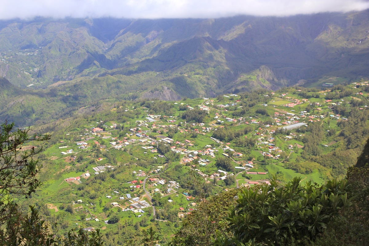
32 kilometer from the freeway exit in St. André. The road is paved, but care is needed, there are many
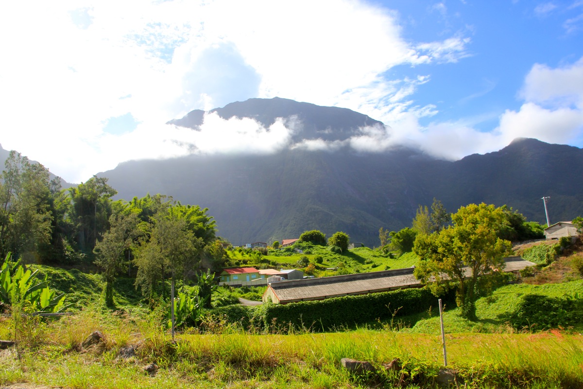
sharp curves and steep hills. The landscape
is fascinating, steep hills
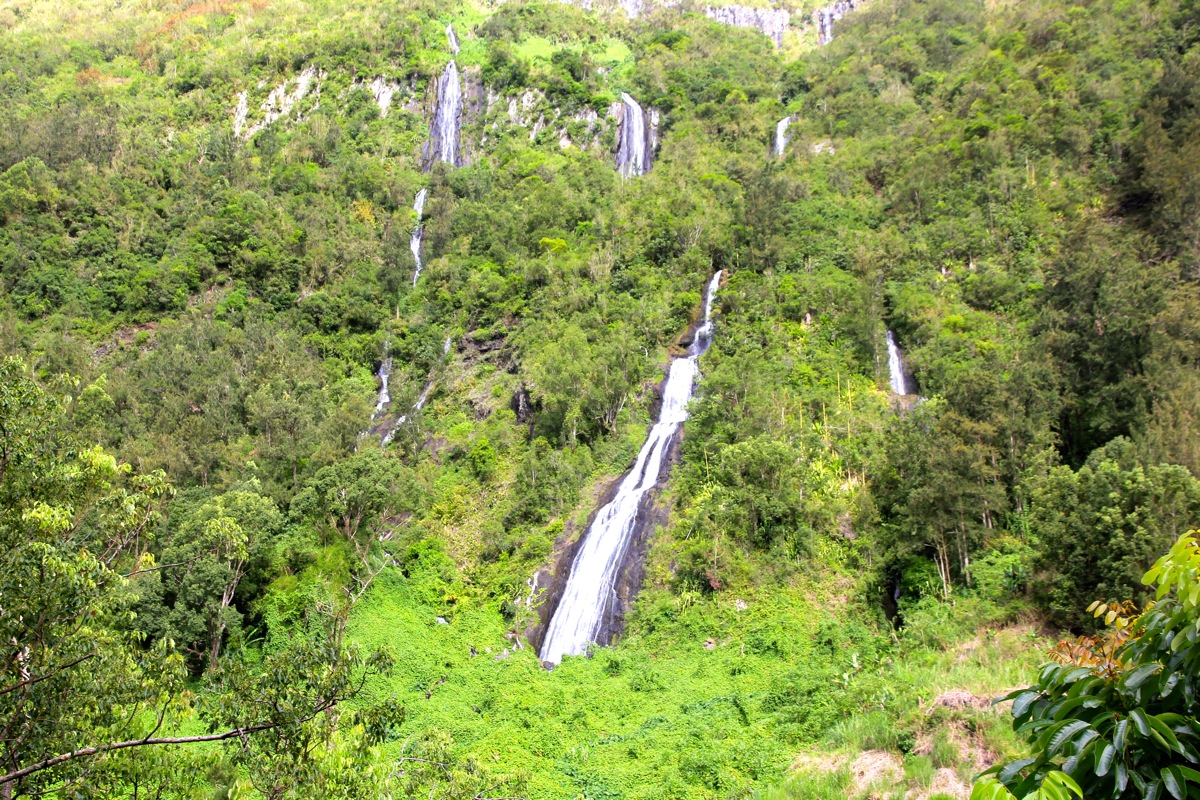
with dense, green vegetation. A few waterfalls
may also be seen.
In Grand Ilet, Hwy. D52 makes a 90 degree turn left. Leave D52 here and go straight ahead. There is a sign saying
La Roche Ecrite. Continue across the bridge then uphill until you find parking on your right hand side at
location S21.01395, E055.47387, elevation about 1130 meter. Route description:
From the parking, hike about 100 meter back down the road and locate the trailhead on
your right hand side, this is location S21.01607, E055.47305, elevation about 1120 meter.
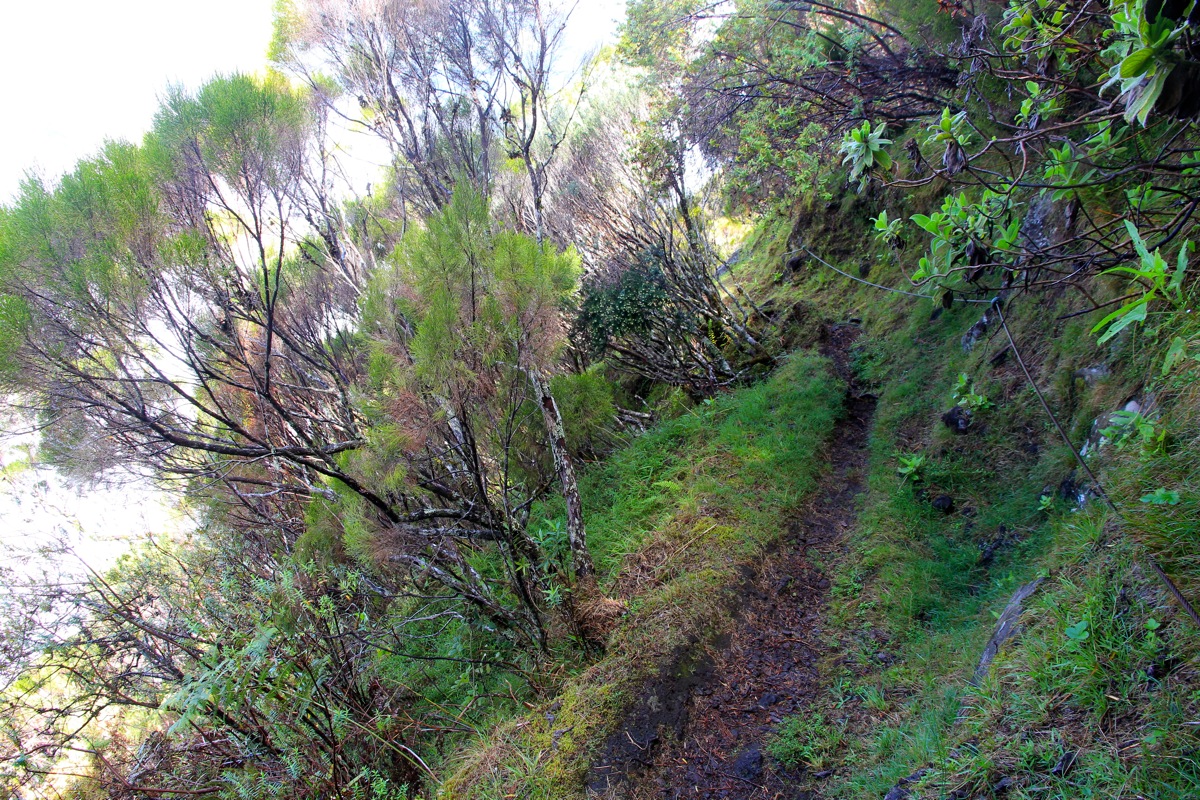
The trail heads directly uphill, first via a few concrete steps. The hillside above looks
impossibly steep, but the trail zig-zags uphill. This route has a good trail all the way
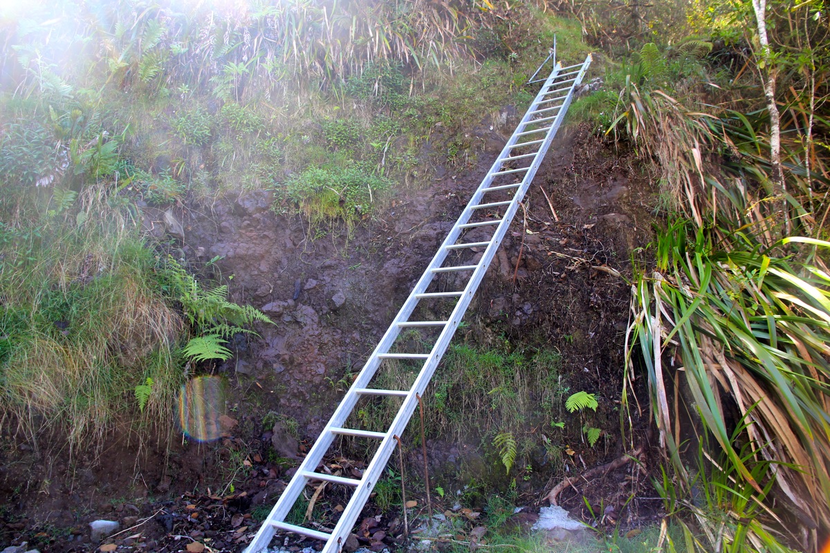
to the summit, but due to general steepness, I have rated it (YDS) class 2. After a while,
there is a metal ladder that gets you
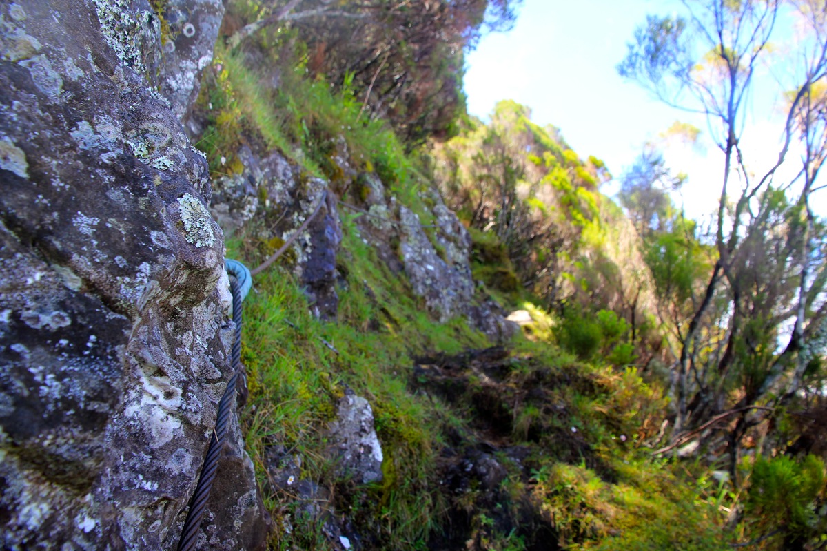
up an otherwise steepish slope. Higher up, the trail
is protected by cable in several places.
It is however, not really nessecary, there are
unprotected sections that look pretty similar.
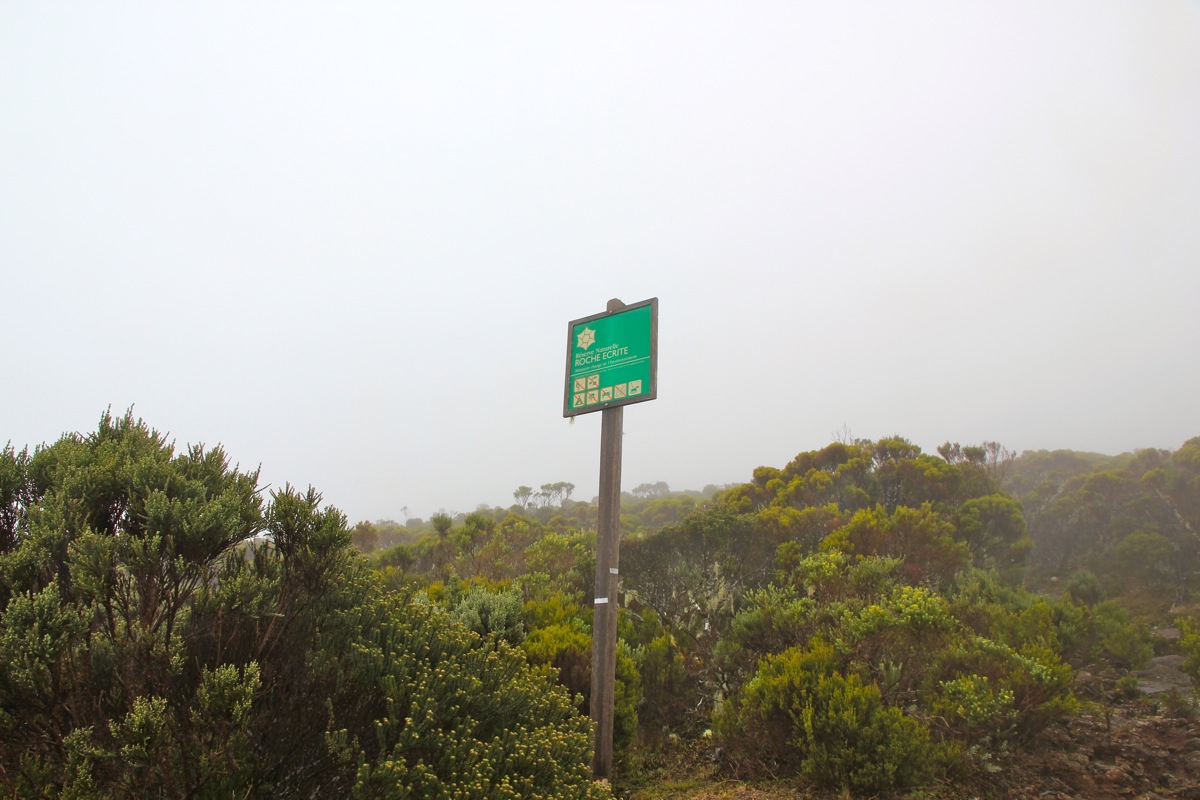
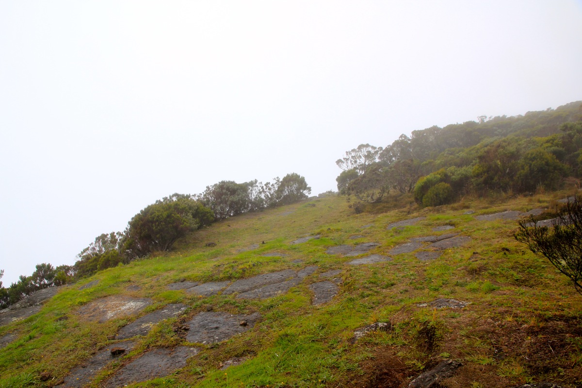
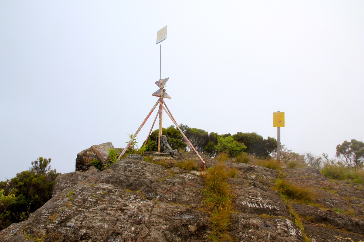
Finally, the trail tops out at a small,
flat area, elevation 2104 meter.
Thus, this part of the route climbs about 1000 vertical
meter, the horizontal distance from the trailhead is only 950 meter!
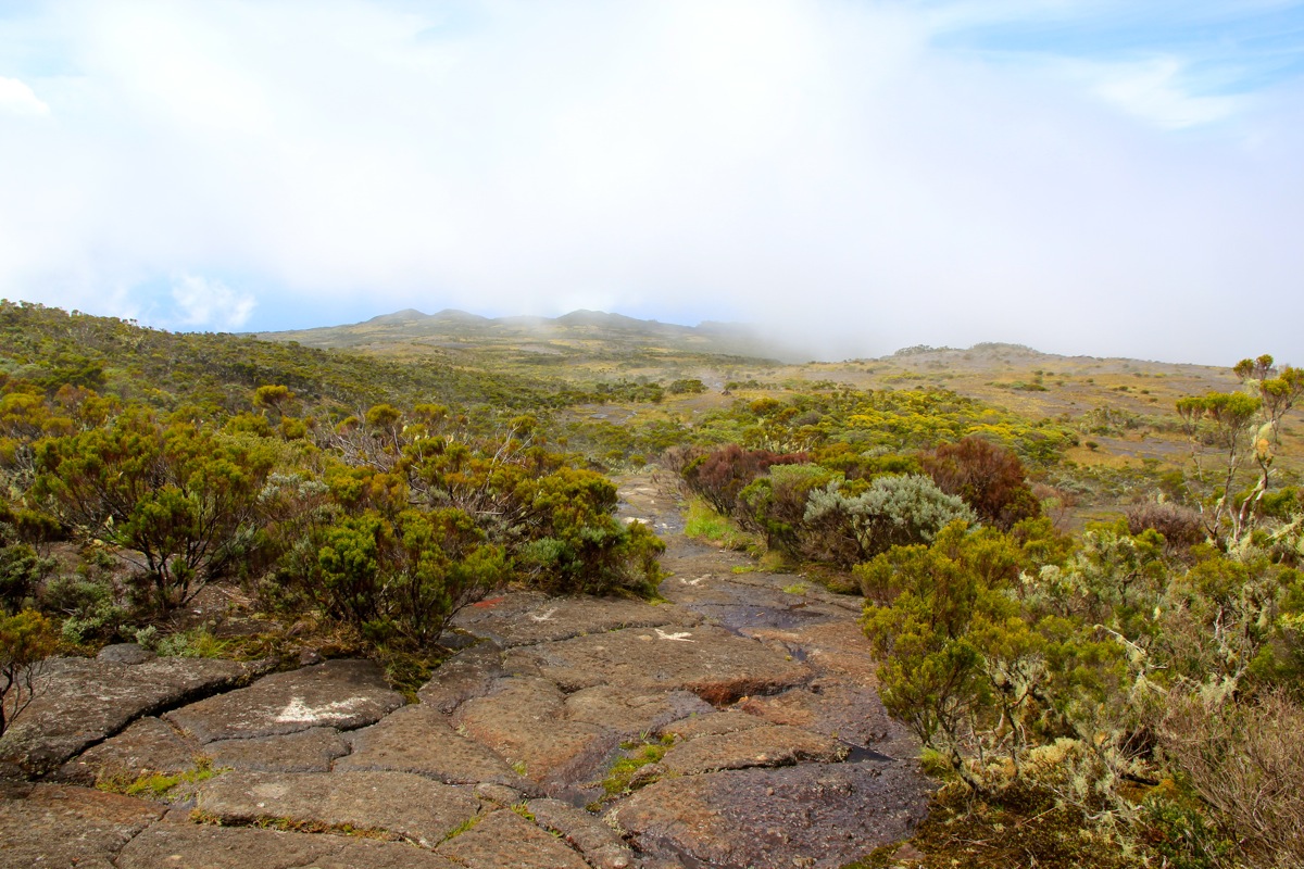
All the hard work is now done, the trail next traverses part of the plateau along nice, flat and pretty
smooth rock. Soon, you hit the trail fork, turn left and
follow the white arrows that are
painted on the rock, easily to the summit marker. Comments:
I climbed this peak solo, and I was the only person on the mountain this Sunday. Clearly, less
popular than Le Grand Bénare. I started at 1045 and had about 30 minutes of light rain while
ascending. I carried a rain-coat, but decided that the temperature was so plesant that my wool shirt
could absorb the water. The hill was steeper and the climb longer than I had expected. Finally,
after 1:45, I topped out and declared a rest for drinking water (about 10 minutes).
I carried on and now the walk was pure pleasure. Nice flat rock to walk on, I soon arrived at the
trailfork. From here, progress was still easy as I followed (too many!) white arrows gently uphill.
I reached the summit precisely at 1300, so 2:15 in total.
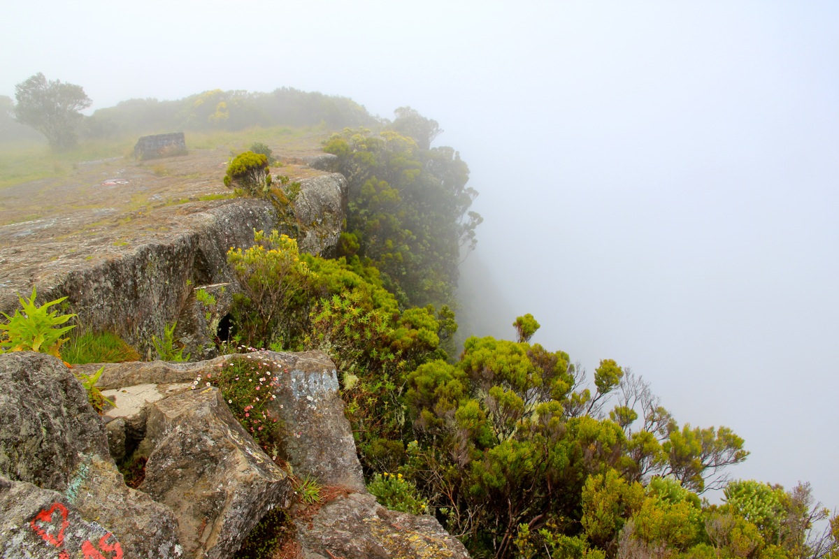
The summit is right next to a steep cliff.
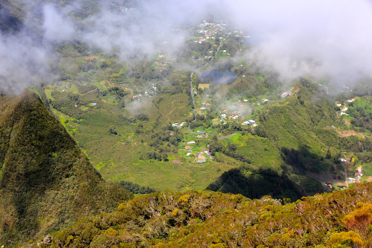
I had fog and limited visibility. After about 15
minutes I started my return, soon back at the top of the hill where I took another short break.
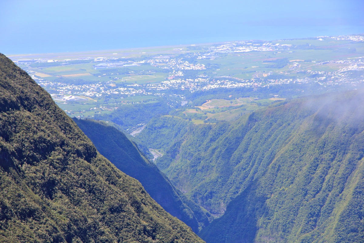
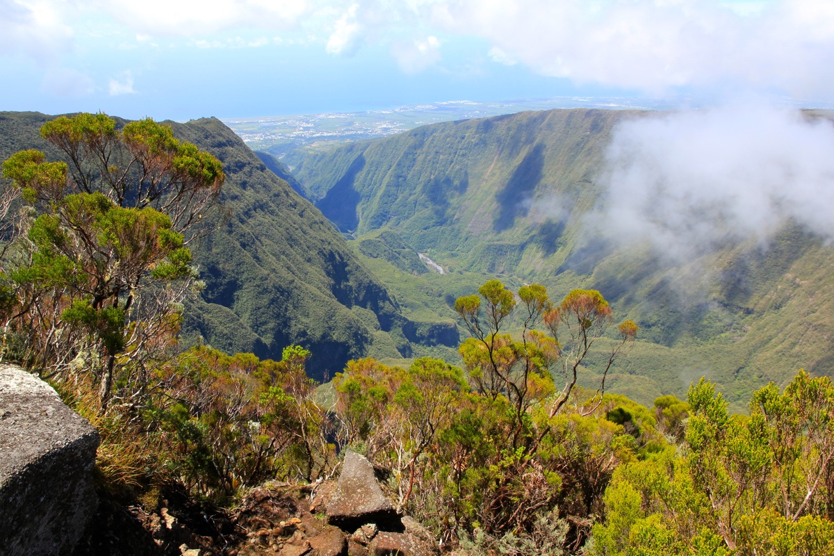
The weather had cleared and
I could now see back down to the valley floor.
With wet rocks, quite a bit of care was called for while descending. In this type of
terrain, my speed of ascent matches my time descending. Back down by 1515, thus about 2 hours down.
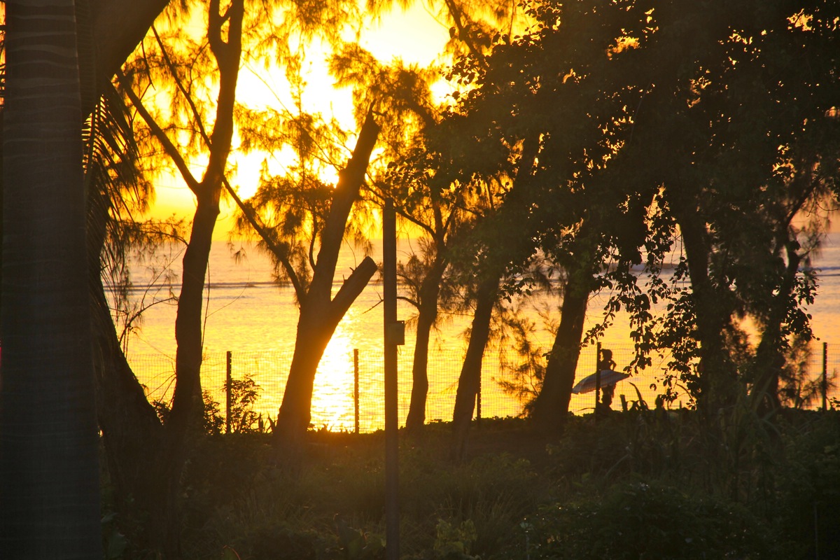
I was home somewhat after 1700, relaxing
and viewing the sunset in the Indian ocean before a
nice evening meal with Heidi.
Here is a quick summary to my climbs on Reunion.
