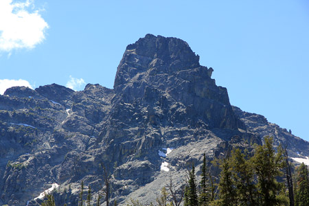
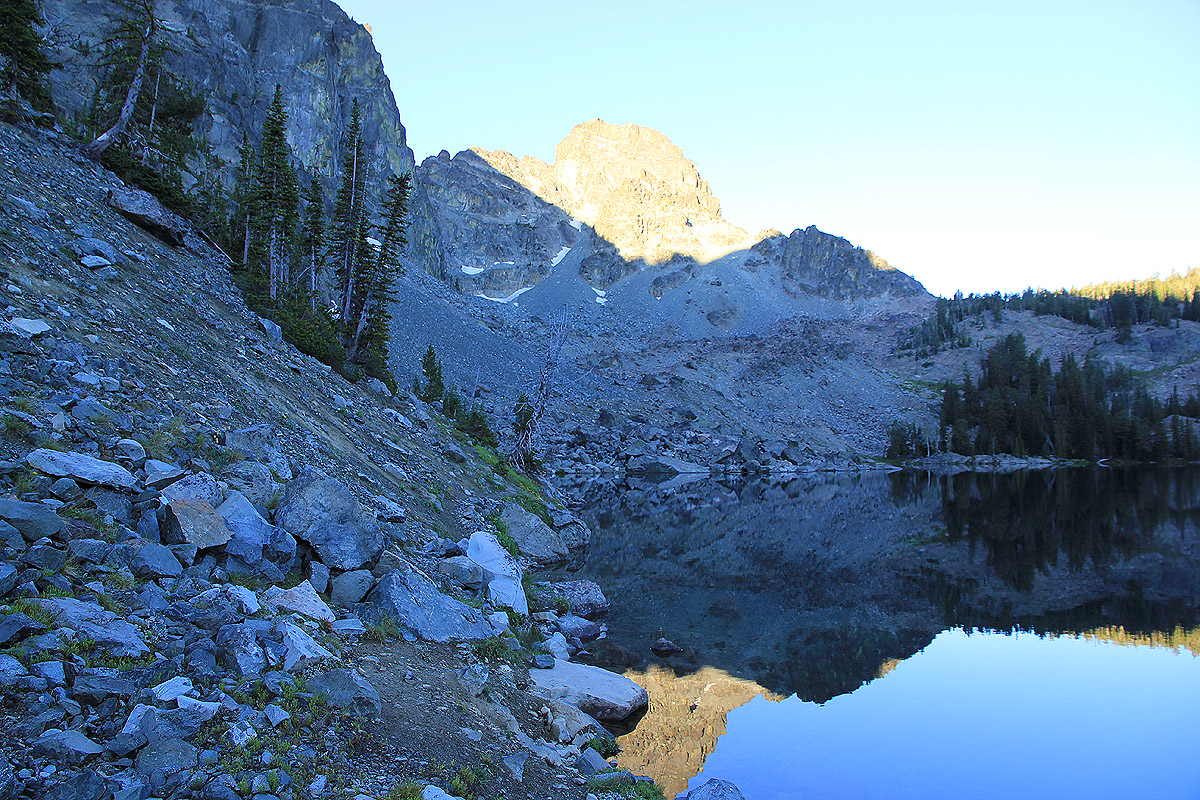
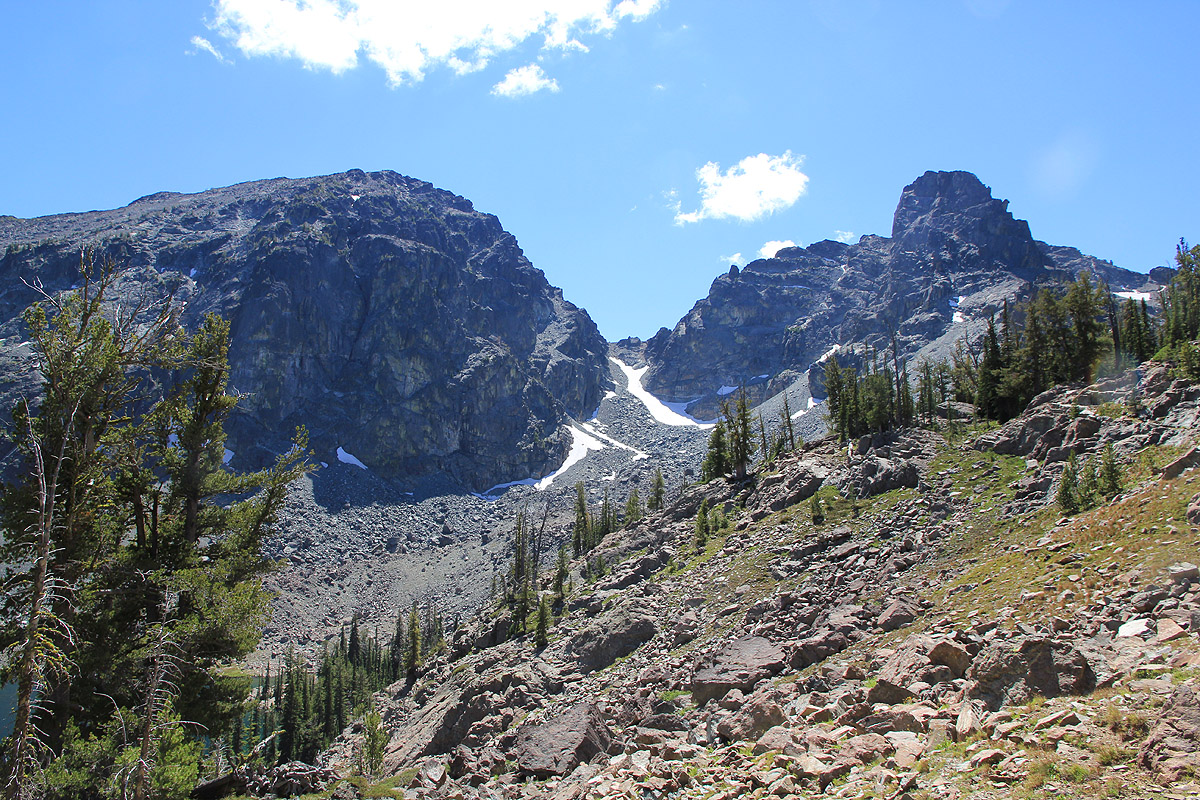
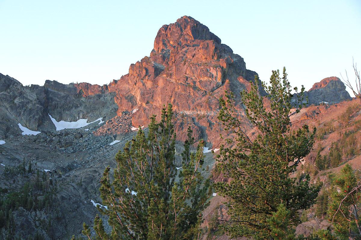
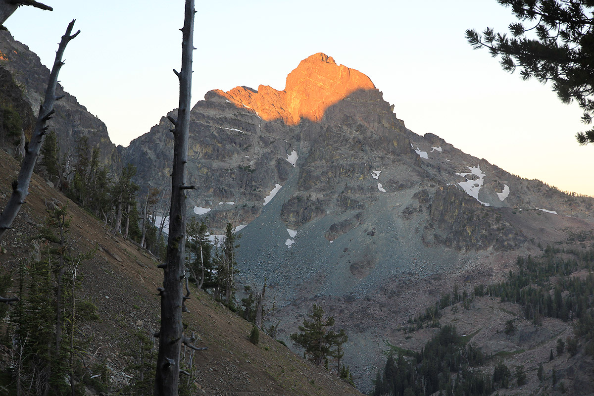
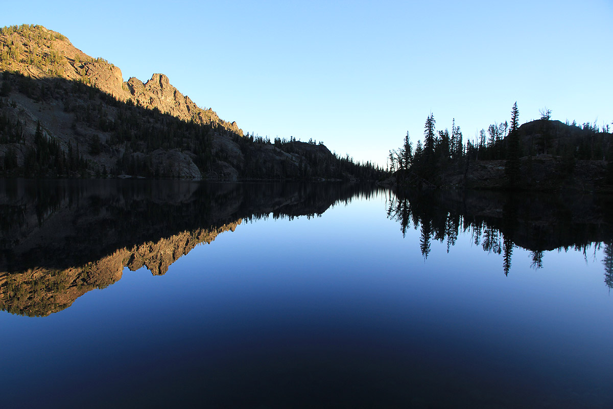
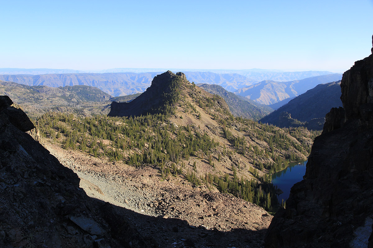
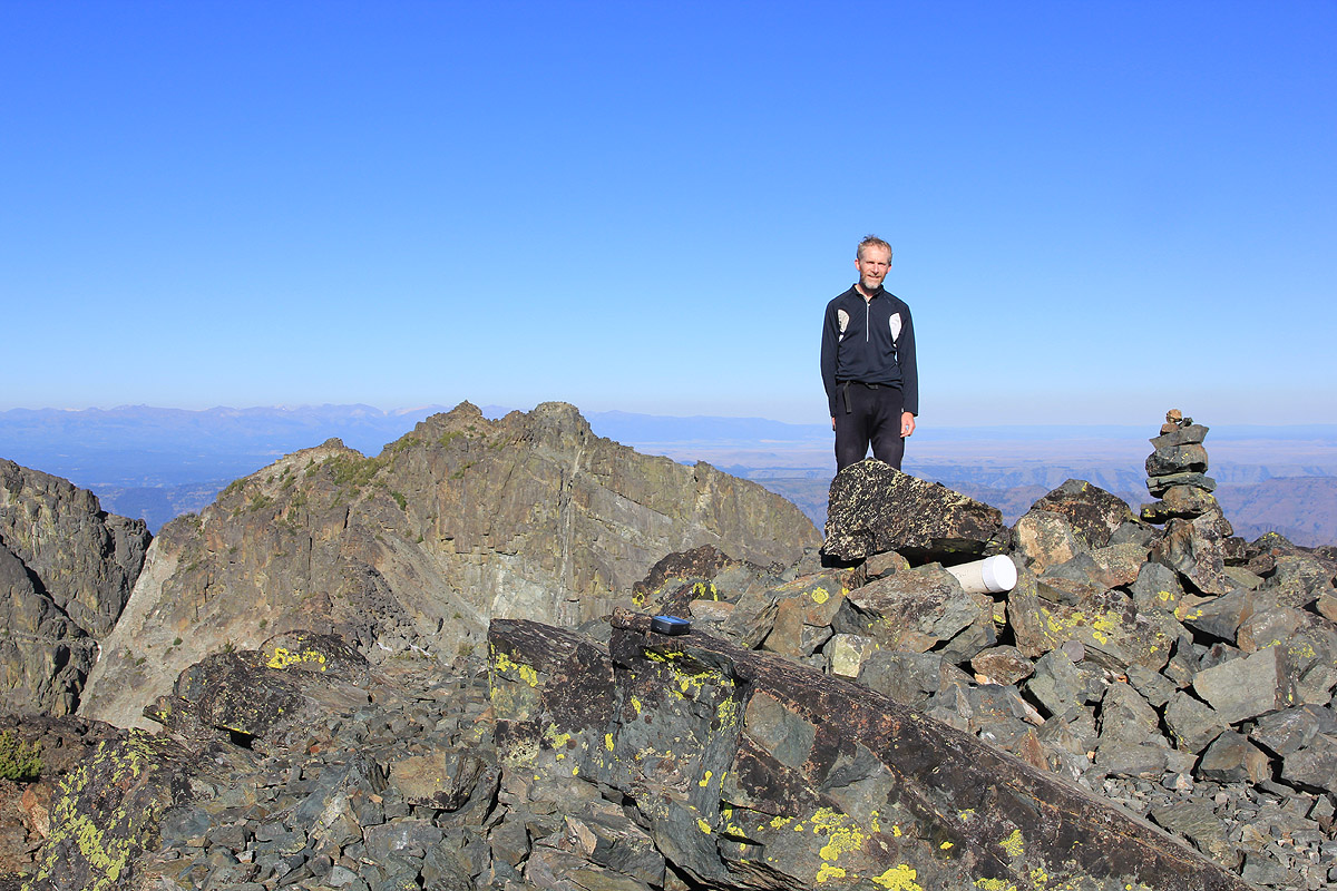
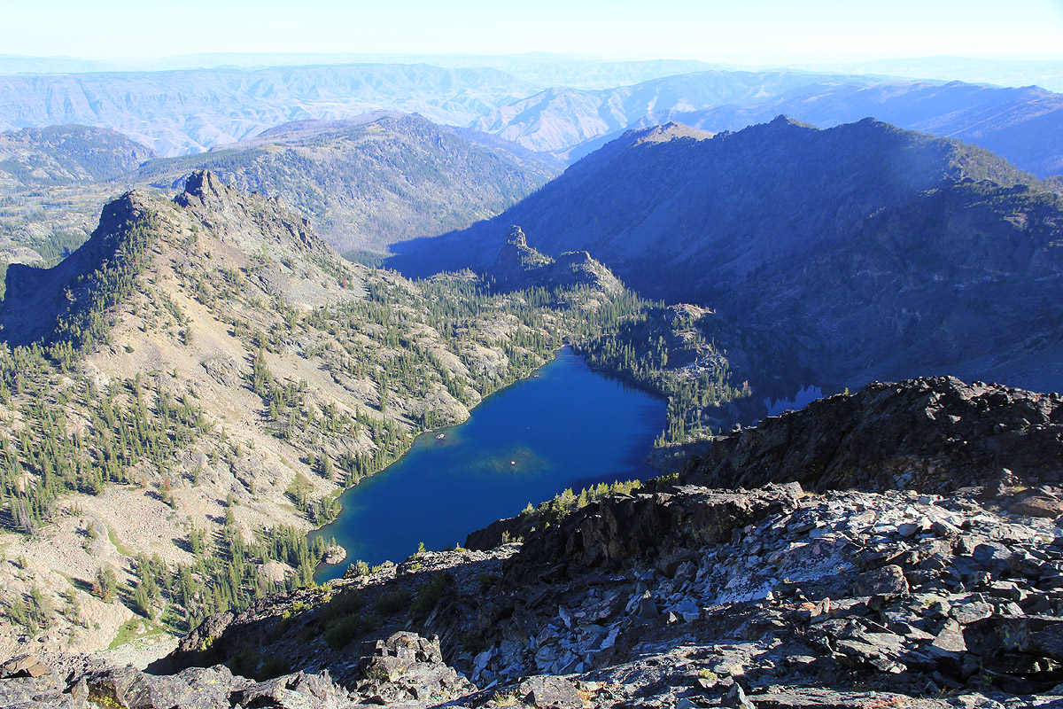
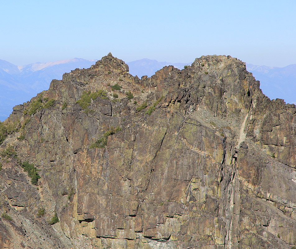
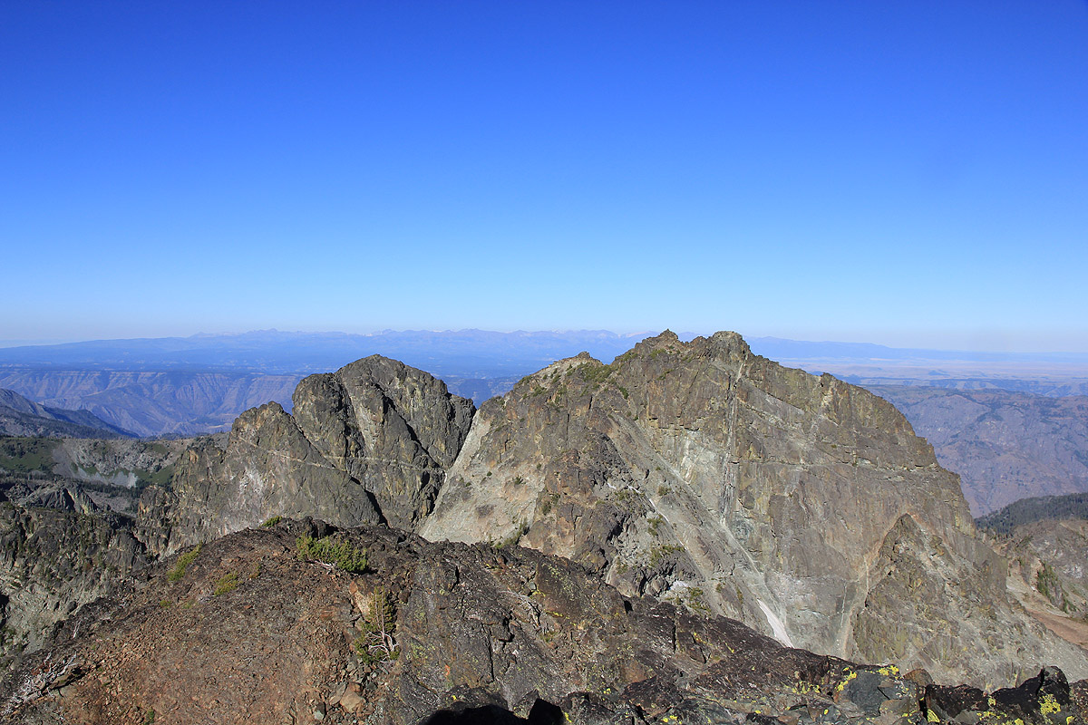
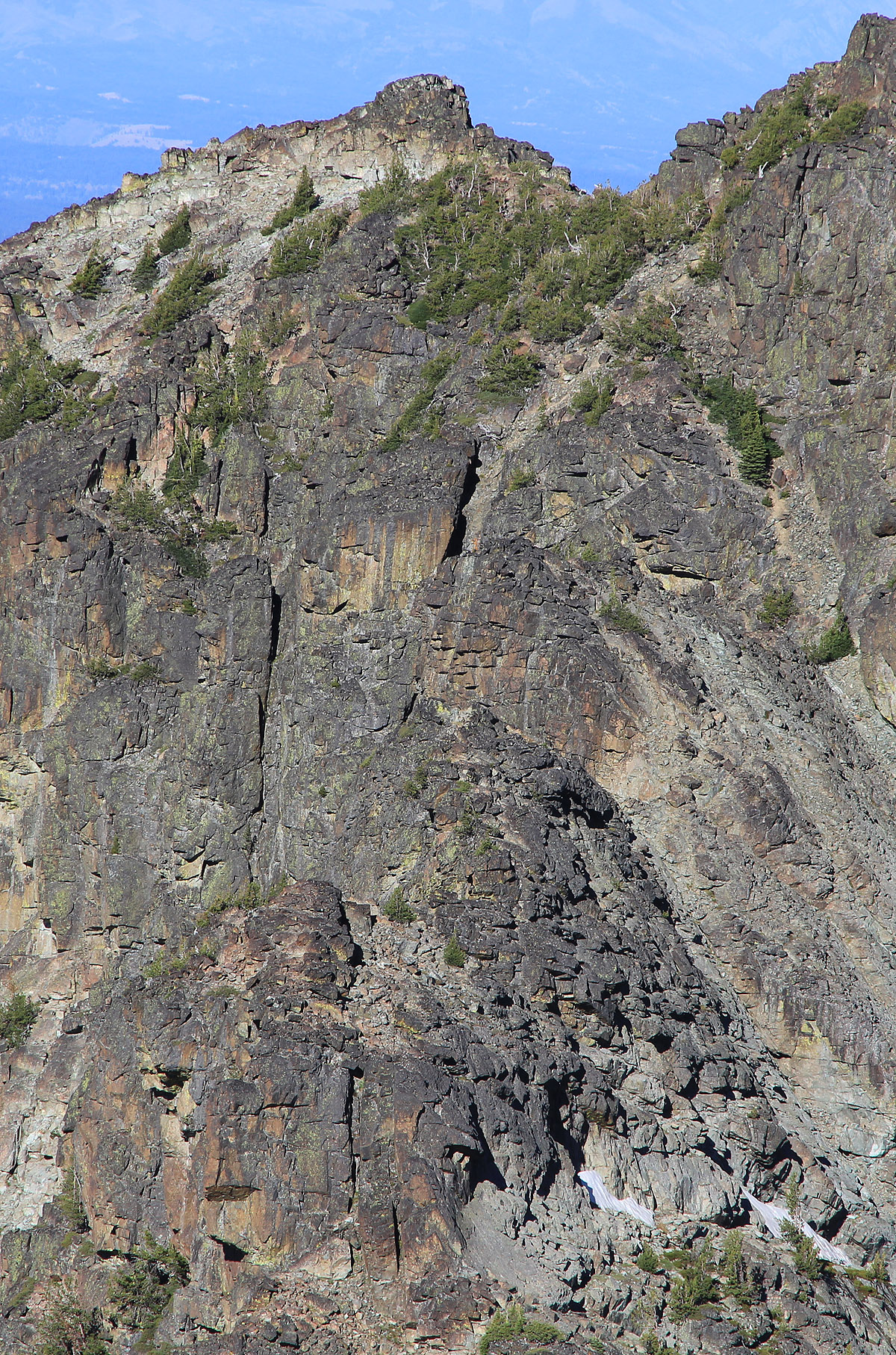
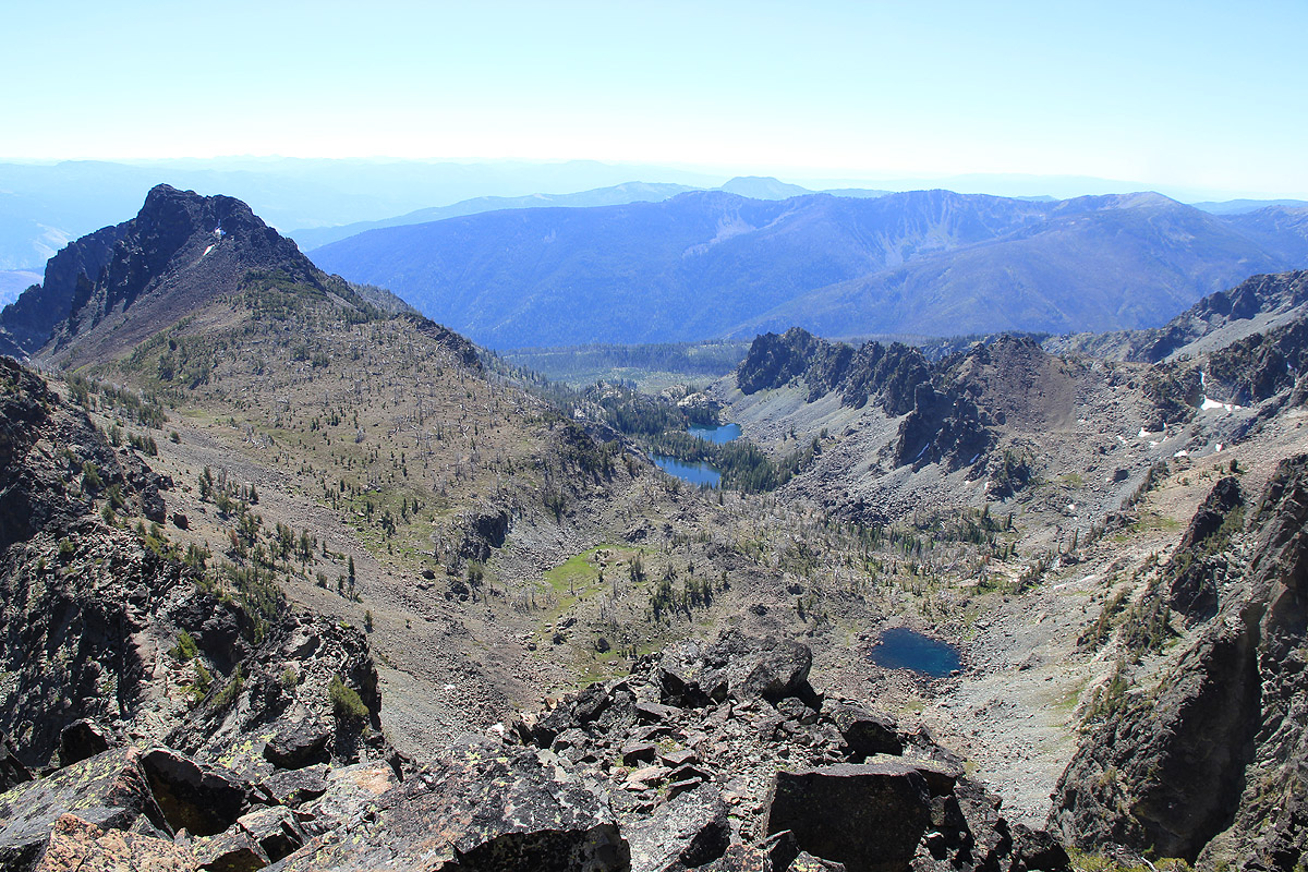
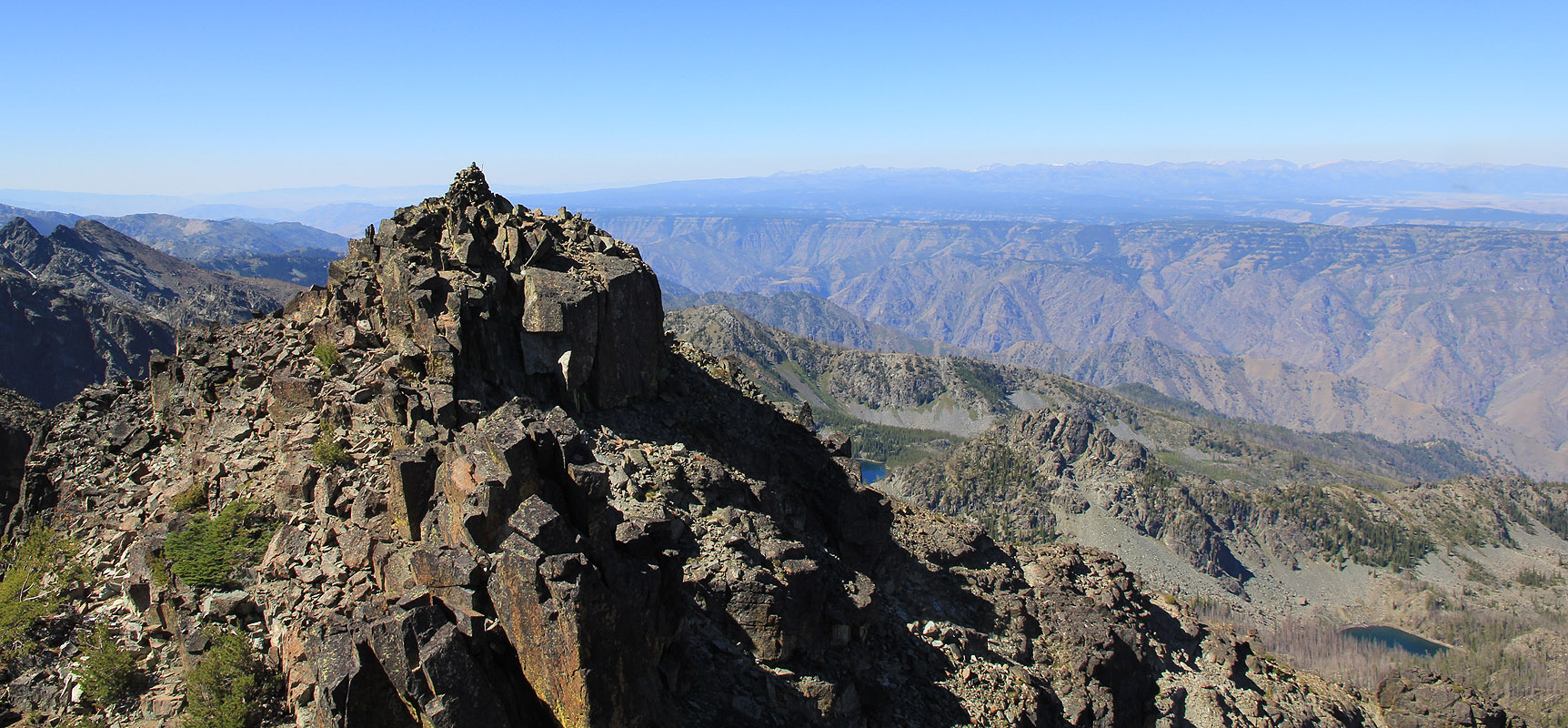
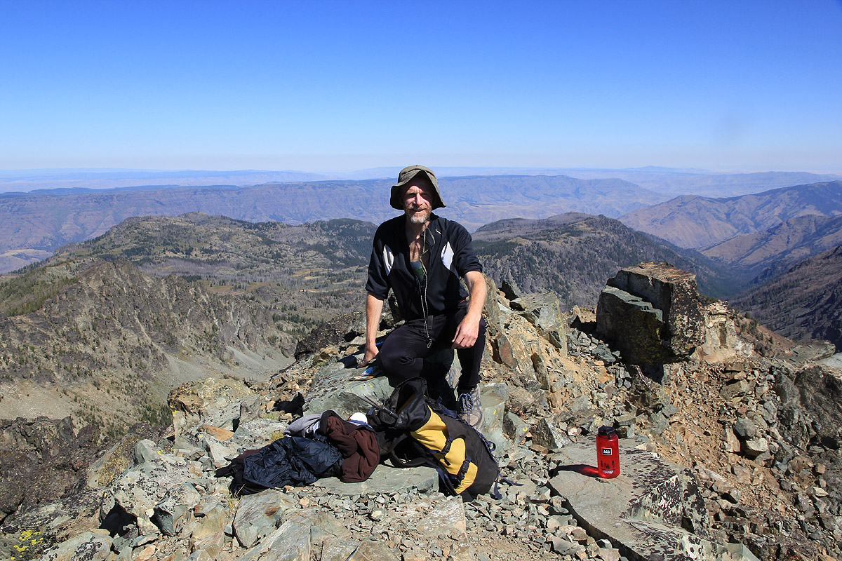
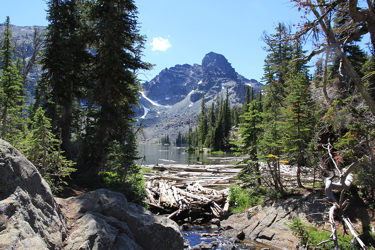
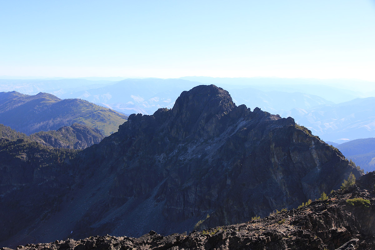
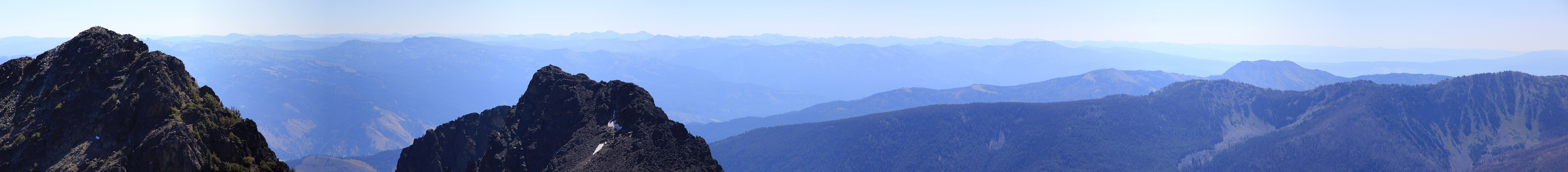
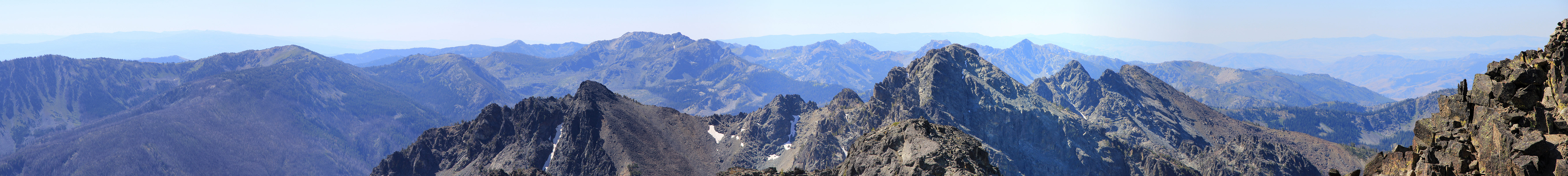
He/She Devil

  • He/She Devil
  • 2865 m
  • Primary factor 1591 m
  • Idaho, USA
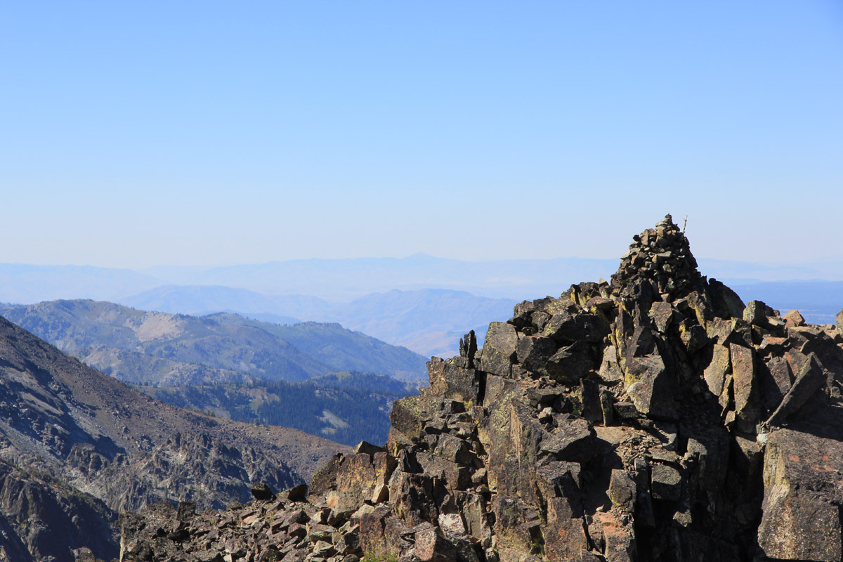
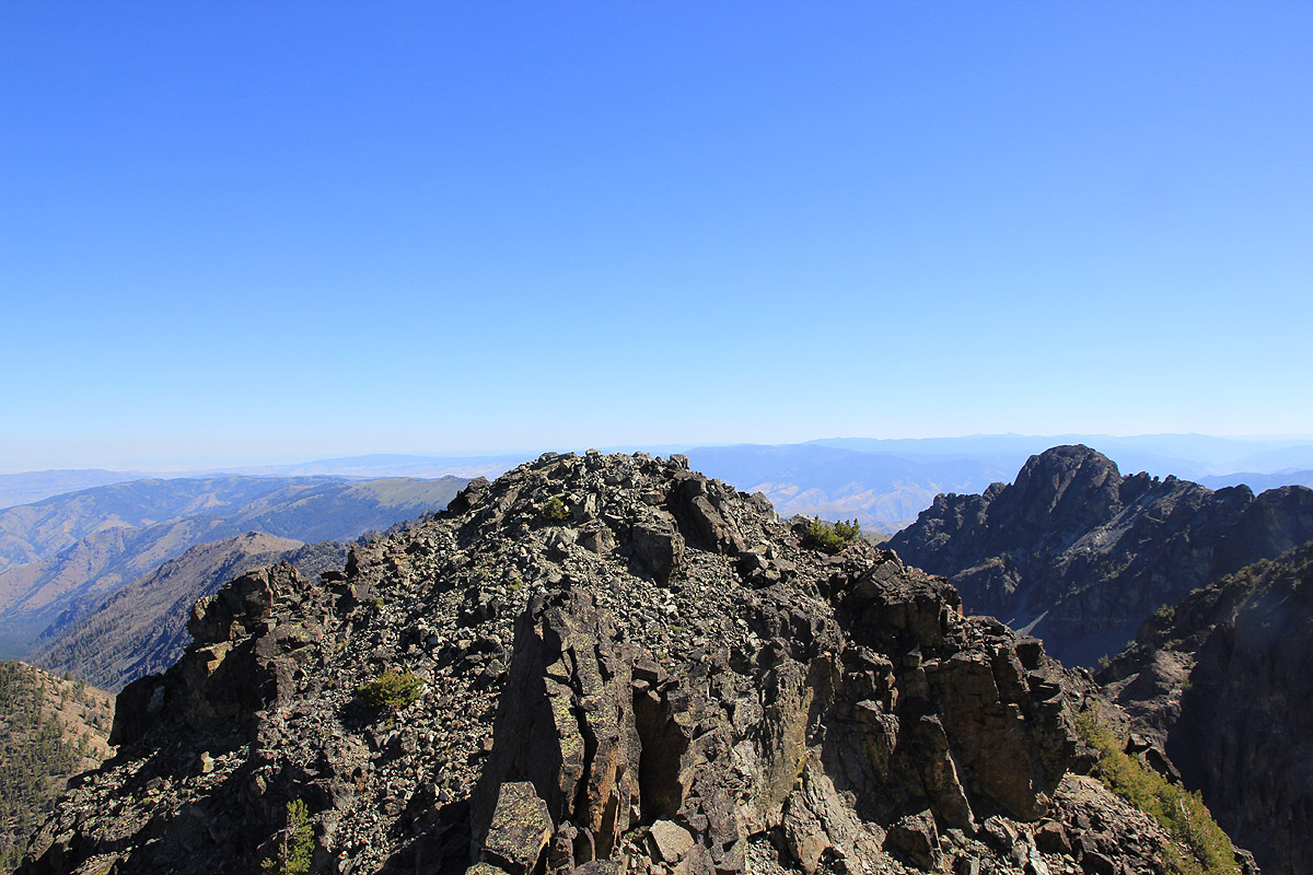
  • Location HE: North 45:19.422, West 116:32.937 (GPS at the summit)
  • Location SHE: North 45:19.440, West 116:32.437 (GPS at the summit)
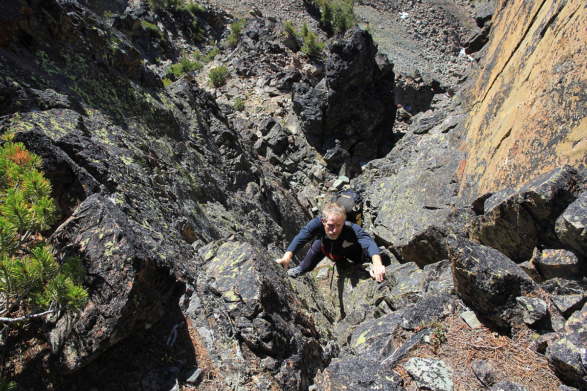
  • Difficulty: YDS class 3.
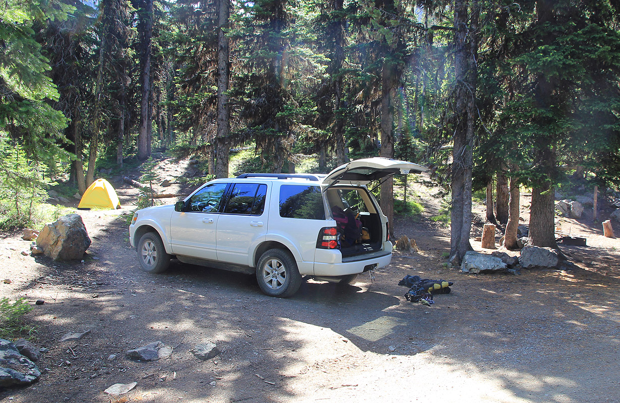
  • Climbed August 14. 2010

Information:

How to get there:
These two mountains of virtually equal height, are located west in Idaho. A point of reference might be the city of Spokane in east Washington. Go south on Hwy 195 to Lewiston where you enter Idaho. Continue south on Hwy. 95 to Grangeville and a bit more than 40 more miles, still following Hwy. 95, to the small village of Riggins. Proceed through Riggins and look for signs, shortly south of Riggins a road forks right (west) into a side canyon/valley. There is a sign saying Seven Devils Campground, Windy Saddle or something similar. Take this road and drive 17 miles, mostly uphill. The road is good gravel, fine for ordinary cars. As you approach the high ridge (Windy Saddle), stay left in a fork and drive a short way (downhill) to reach the Seven Devils Campground. Drive about half way around the small circular road (counterclockwise) and look for a spot to park/camp. This is the trailhead, location N45:20.787, W116:31.100, elevation about 2315 meter.
Route description:
This description covers a way to do both HE and SHE reasonably efficiently, it is not the easiest route to the two summits. One can climb both summits along routes not exceeding (YDS) class 3.
Approach: From the campground, follow a pretty clear trail slightly uphill among trees towards the steeper cliffs above. This trail starts at the very campground, it may be helpful to locate the precise spot (GPS coordinates) given above. The trail starts out right next to the yellow tent in this picture. The trail crosses a short section of forest before climbing easy slopes below the pass that can be clearly identified (at the nearby horizon). Higher up, the trail forks into two variations, the easier variant forks right. This trail is (YDS) class 2, with a possible very short section being 2+ (depending on your precise steps). The variant that forks left crosses a slightly more exposed section of rock and may be (YDS) class 3. The two variants join again very close to the pass.
Pay attention as you cross this pass, in order to pick up the trail on the far side, it exits a bit on the uphill (right) side. The trail now traverses high above Mirror lake in order to reach the main col, called Goat Pass, on the ridge extending north from the peak named (Tower of) Babel. This trail can be a bit hard to follow in places, but it is there, so just look for it if you are slightly off. From Goat Pass, the trail initially descends west, but then traverses more south (hikers left). The trail is quite good and not hard to follow as it winds its way while descending towards a small lake/pond that is just east of the proper Sheep lake. As you descend the final section, its a smart move to stop and look back in order to be familiar with the return route. The (return) trail looks a bit improbable unless you pay close attention.
Proceed on the east side of the small pond, then pick up a small climbers trail that runs very close to the water on the east side of Sheep lake. This trail eventually vanish into the boulders at the south end of the lake. Proceed uphill (south) towards the very distinct col between SHE (east, left) and HE (west, right). The scree is a bit loose, but there are some tracks. There may be a (large) snow field as well. Depending on the conditions and your equipment, either follow the snow or climb on the left side of the snow, in order to reach the col.
The climb of SHE: From the col, climb towards SHE, but stay quite a bit on the right side of the summit ridge. That is, whenever the climbing seems steep, then traverse right until you see a reasonable route going uphill. You will soon enter some gullys with loose scree. There are some cairns showing the way up. Higher up, you will have a choice between climbing back onto the main ridge or to go more right again and continue on loose scree. At this point, I would recommend staying on the rocky ridge. The climbing shall never exceed (YDS) class 3, if you find yourself in harder terrain, then backtrack since you are off-route. The rock ridge goes well in the upper sections, you will cross two smaller gaps and the hardest move is likely as you finish the crossing of this second gap. This involves a short downclimb on the left side of the ridge, then an equally short, but slightly steep move to get back up onto a rock shelf. There are a couple of variations, the climbing is still (YDS) class 3. What remains is an easy walk, a short, final stretch to the pretty large and flat summit area. There is a small cairn and a summit register.
Return to the col by retracing your route of ascent.
The climb of HE: Scramble along the col until you are at the base of the ridge going up to HE. Stay close to the ridge as you negotiate the first section, there are good and pretty obvious ways to get up here. Higher up, you eventually run into a steeper section where the best continuation is a fairly long and fairly steep chimney, this is (YDS) class 4, but the holds are nice and one can advance upwards by stemming. Shortly above this, you encounter a second, shorter (and easier) chimney and this concludes the first part of the ascent.
From here, there appears to be several options, the standard route moves across to the right side of the ridge and follows a pretty wide ledge for quite a long way until you are at the lower end of a (big) gully that tops out in an obvious notch/col thereby getting back to the top of the main ridge. (Beware that you need to be on the uppermost ledge, there may be another lower down.) Alternatives exist to ascend back to the top ridge earlier and subsequently follow it to the same col. This completes the second part of the route.
The third and last leg moves across to the left side and follows a pretty obvious line that tops out quite close to the cairned summit. This section is mostly (YDS) class 2.
There are two summits with a fin located in the separating (shallow) saddle. To traverse the fin is class 4, it can be bypassed on the left side (moving from the cairned top), easy class 3. The two summits appear to be very similar in height.
Descent from HE: Descending from HE back down to Sheep lake is most easily done by going down the North-West ridge. Proceed down along the highest ridge with obvious small deviations when required. There are some cairns. Further down, as you hit vegetation, one should keep an eye on the climbers trail as well as cairns, since you need to get off this ridge while you are still (slightly) above 2630 meter (8630 feet). Follow the trail and descend a bit more steeply on loose footing to the flat area north of HE, an area above the 8440 contour on the topo-map. Continue somewhat north-east and descend into a small hanging valley as you aim for the distinct col on the far (east) side. Descend further east on the other side of this col to reach Sheep lake. This route is mainly (YDS) class 2 and clearly the easiest way to climb HE from Sheep lake. Turn the lake and pick up the Goat trail at the small pond for an easy retun hike to the Seven Devils Campground.

Comments:
After a nice early morning walk to Abercrombie, we spent the rest of the day driving south. We bypassed Spokane on the west, preferring the scenic Columbia river to avoid an uncountable number of traffic lights in Spokane. Crossing into Idaho near Lewiston, we were both eager to see what he Seven Devils Mountains had to offer. We had dinner in Riggins and subsequently drove the 17 miles uphill to Seven Devils Campground. Rob slept in the car while I opted for a night in our Bibler tent. I had a nice evening chat with father and son on the neigboring campsite. They had a nice fire going as the light gave way to stars on the dark sky above us. The son was about to join the navy, the economic downturn and the lack of jobs dominated our conversation. The father was employed by a home building company,- an uncertain future if the housing market would deteriorate any further.
I woke Rob before daylight and soon had a boiling pot of water for our standard breakfast. We started walking at 0505, headlamps were useful until we emerged from the trees and could see the slope up to the first pass straight ahead. We ended up taking the easiest path uphill, generally (YDS) class 2 all the way to the first pass. The sunrise was exceptionally nice with the first rays striking Babel. Mirror lake, deep below us, still dark, hidden in shade. The traverse across to Sheep pass was easy to follow and a main goal, HE-devil, came into view. The trail descended while traversing left and before long we were at the small pond next to Sheep lake. The time was 0630, this hike had turned out quite a bit easier than expected (from reading various trip reports).
I proceeded to Sheep lake, crossing some fallen trees along the way,then realized that I had "lost" Rob. Shouting his name a couple of times revealed that he had taken the (long) way around the lake. I proceeded up to a small plateau among all the (big) boulders that formed the landscape between the SHE/HE col and the lake, then sat down for a break while waiting for Rob to complete his circumnavigation of the lake.
We made the col around 0745, from here we had planned to climb both peaks. In half an hour we were sitting on top of SHE, looking around, in particular gazing across to HE trying to judge its relative height. This is not at all easy and we settled for what had been planned all along, try to take some high resolution pictures from SHE across HE with background summits in the same picture. Such a picture may then be analyzed using a neat software program developed by Edward Earl. We decided to take the pictures with the camera about half a meter above the highest ground. (The summit is fairly flat and it did not work well to place the camera on the ground.) We left after half an hour and were back down in the col by 0915.
We started up HE without delay, eager to see what this route would be like. Easy scrambling, then the more vertical chimney. It did not look intimidating and I proceeded to climb it without hesitation. As I took a picture down when Rob followed, it did occur to me that things looked steep. Perhaps better to just climb up here without looking too much behind or down? Another, somewhat shorter chimney followed before routefinding again became an issue. A large "shelf" ran more or less horizontally on the right side of the ridge, actually there are at least two of these and one needs to be at the upper one. Rob climbed back up towards the top ridge and I joined him coming more directly up from the ledge below. Another (short) class 4 move would have gotten us back on the very top of the ridge, but we decided to climb back down on the right side and follow the big ledge/ramp as it connected with easier ground further ahead. The climbing had come to an end and easy scrambling continued until we reached the summit and a big cairn at 1015.
Numerous photos were now in order. SHE looked pretty high from this vantage point. HE had two summits that also looked awfully close. We measured across using our water bottle method (to align a trekking pole), but results were a bit inconclusive. In fact, all three summits look very close and it may be impossible to decide which one is higher without high precision (differential) GPS equipment.
After enjoying the fine views as well as the scramble between the two local tops and after having tried various ways of measurements and photography, we left the summit at 1145 and headed down the north-west ridge. This is clearly the easy way to climb HE. The return hike was equally pleasant. We had a hard time accepting the trail from the pond up towards Goats pass, it looked like it would lead nowhere. This is a reminder that one should look back before the end of the descent when hiking to Sheep lake.
We were back at the trailhead by 1430, it had been a most interesting day in a very facinating landscape. Good scrambles, interesting routefinding, deep blue mountain lakes and a sky just as blue as in advertisements. Personally, I was very pleased that my right leg had functioned well and complained minimally. We still had time to drive west and decided to aim for Sacajawea already tomorrow. This would put us one day ahead of our original schedule.
The peak that is not the highest (whichever it may be) has primary factor (prominence) of 171 meter to the other. This was my ultra prominent mountain number 150, it is somewhat of a paradox that I do NOT KNOW on which summit I did reach this milestone.
See also the nice picture story posted by Rob.

Resources: