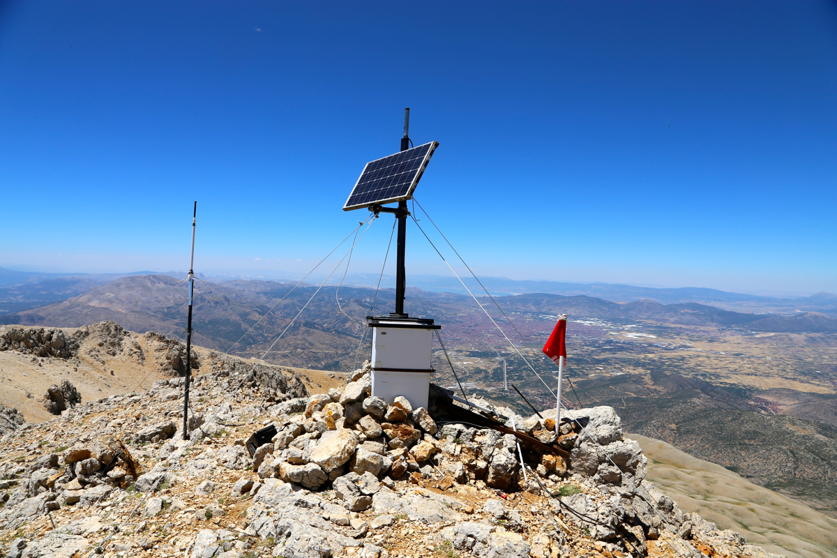
Location: North 37.75454, East 030.72479 (GPS on the summit)
Difficulty: YDS class 2
Climbed July 12. 2016.
Information:
How to get there:
Starting from the mosque in the center of Egirdir (0.0 km), drive 13.7 kilometer
on the main Hwy. to Isparta. Turn left there, going through a portal, signs for
Davraz ski area. Follow the signs for Davraz from here. Note that the route forks
right (off the main road) already partway up the first hill.
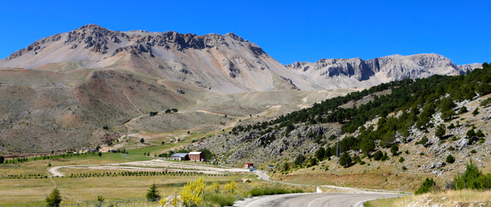
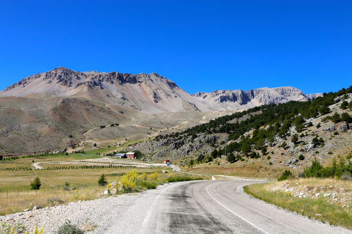
The road gets up in the mountains, but Davraz Tepe
is not the first mountain in view.
The ski area has a pretty
large parking area on your left hand side as you enter the base of the lower chair lift.
Park here, location N37.78249, E030.75950, elevation about 1665 meter.
Note that a proper 4WD, high clearance vehicle could drive all the way to the top of
the highest lift, but this would require authorization from the ski area management.
Route description:
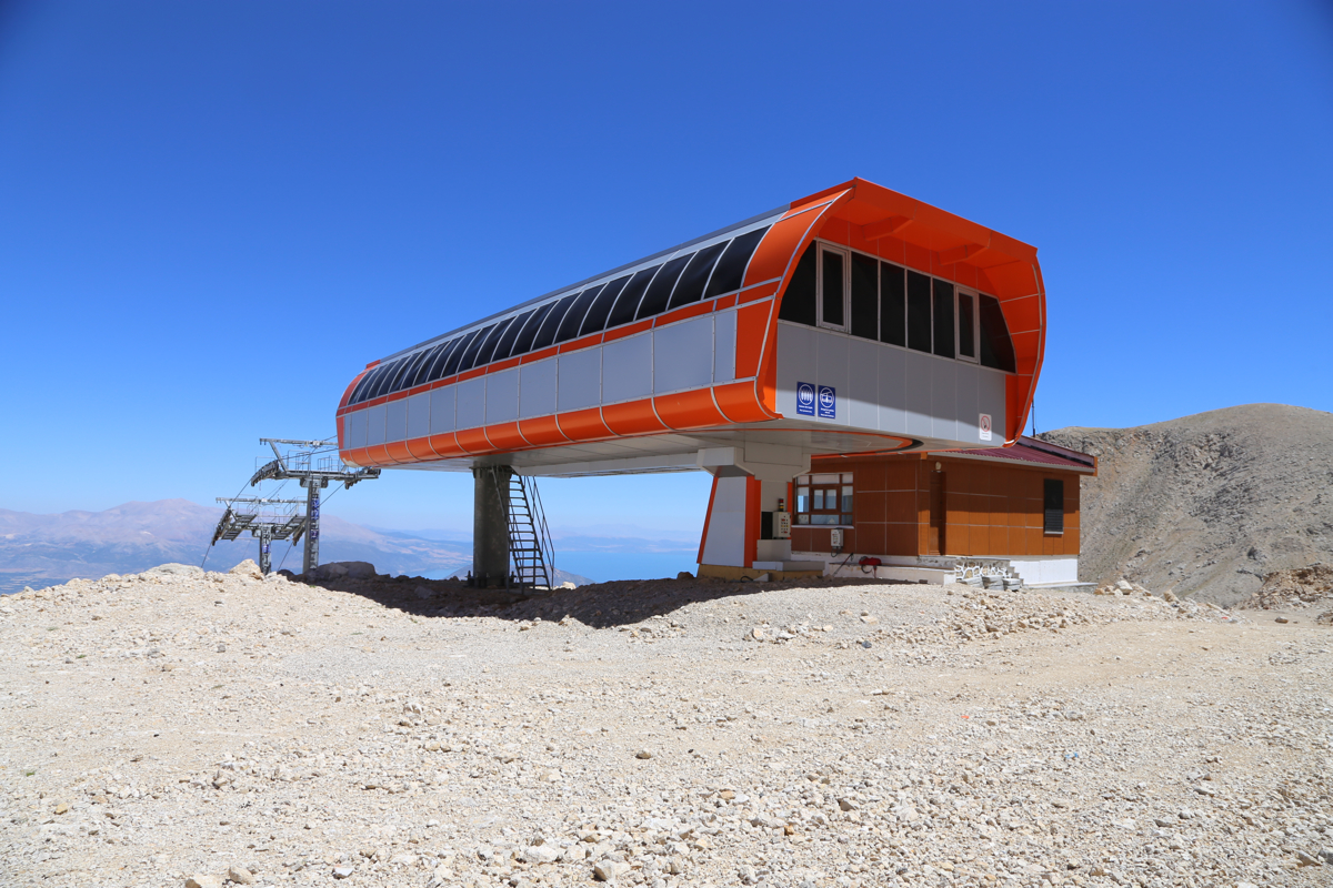
Walk up the obvious service roads
that will take you to the top of the highest
chair lift. This is at location N37.75752, E030.74554, elevation 2390 meter.
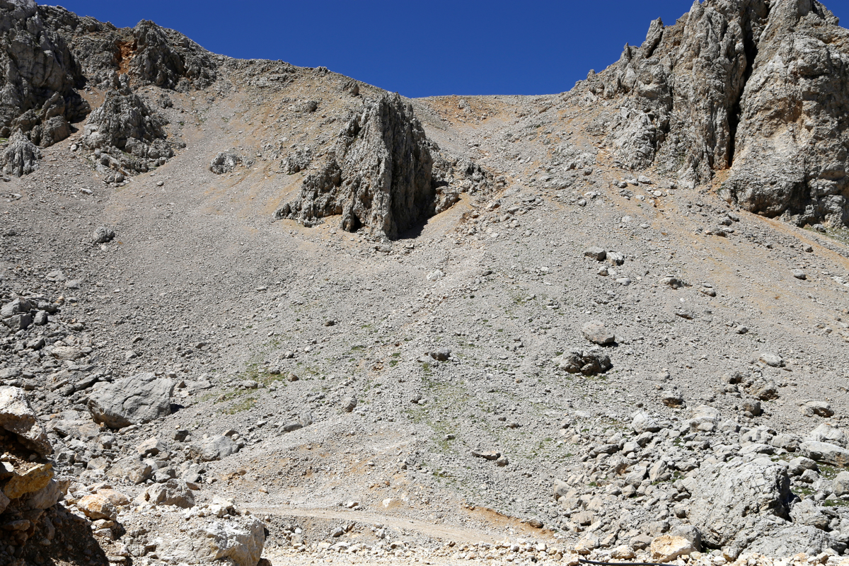
Continue on the service road passing the lift structure, when the road turns right and
heads downhill, pick up a small trail that initially heads for the big break in
cliffs above, but then gradually turns left and traverses up to an exit point that
is more narrow, sort of directly uphill from the lift top station.
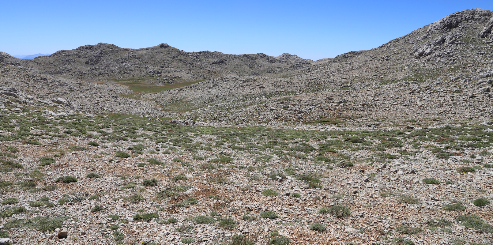
As you exit from this somewhat steeper
slope, a shallow basin with smaller humps around it
is in front of you. Turn sharply right and pick up a trail that contours while slightly
moving uphill, do not descend. This trail will emerge into a small valley that connects
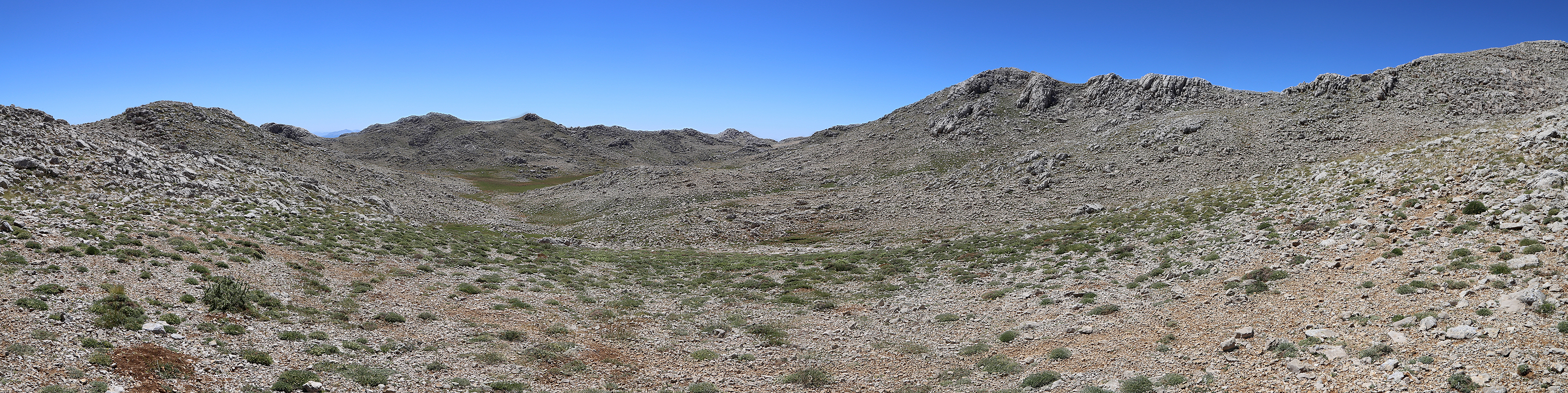
directly to the summit peak.
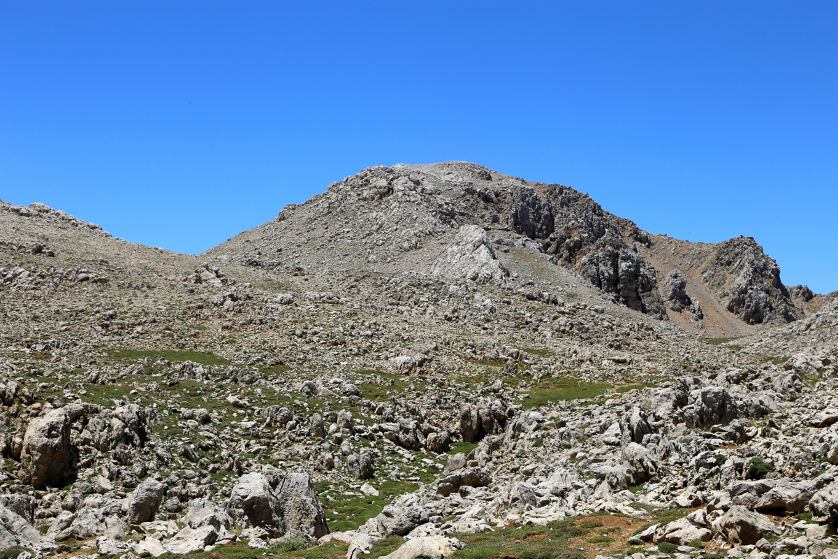
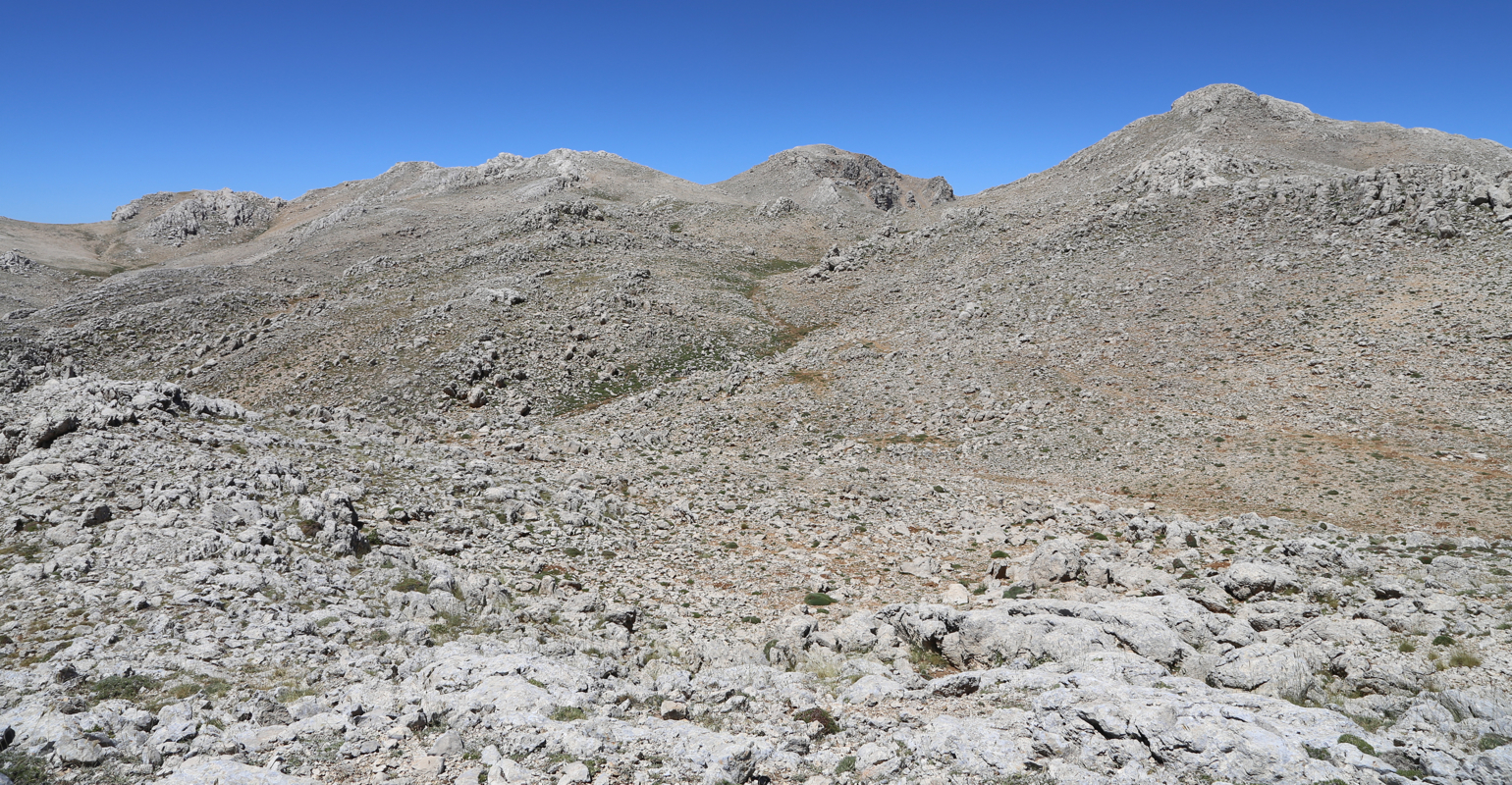
As you hike this pretty level trail, the east summit will
be up on your right hand side. Ascend the final summit peak directly up. This may involve
some easy scrambling. Easier terrain can always be found by moving more left.
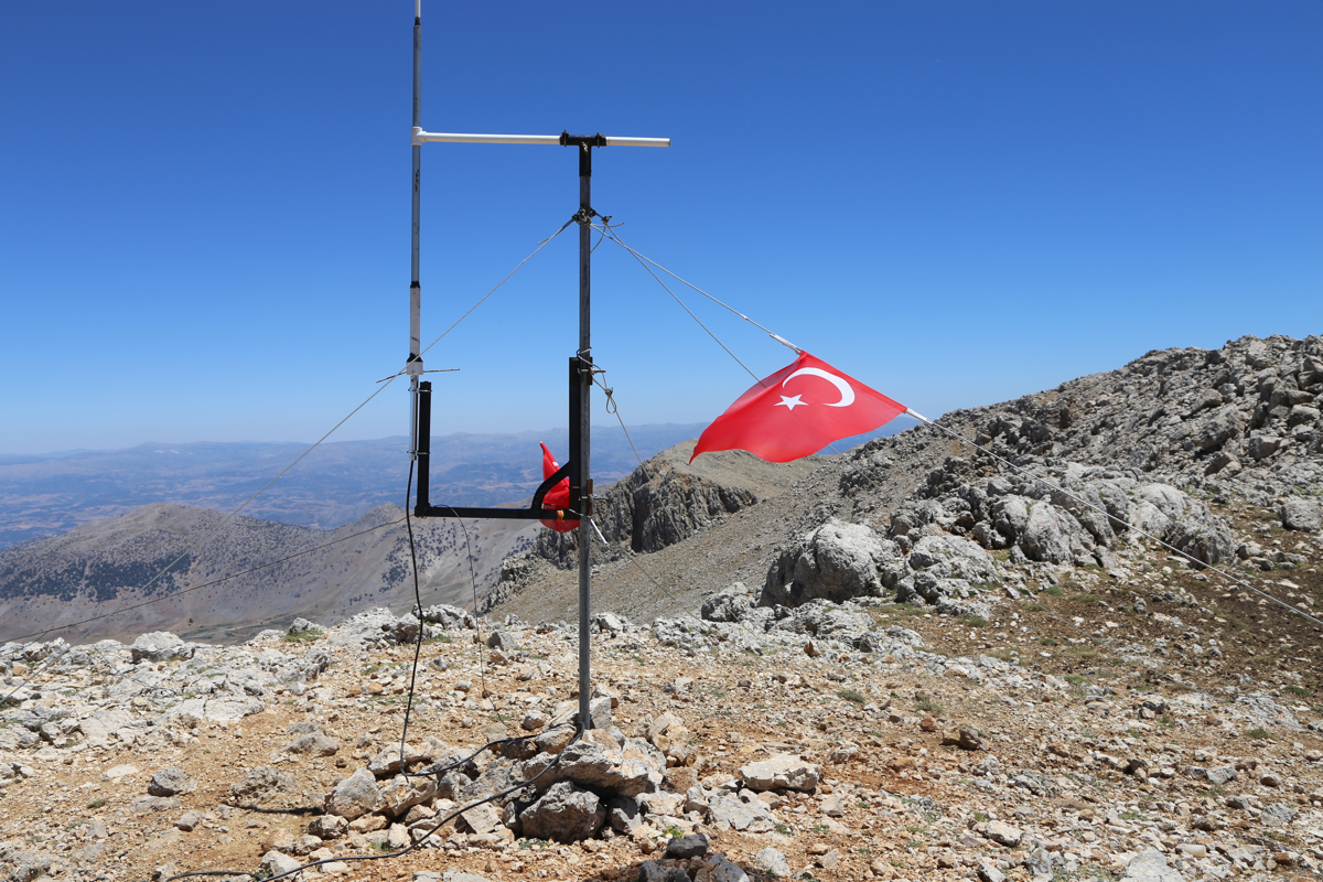
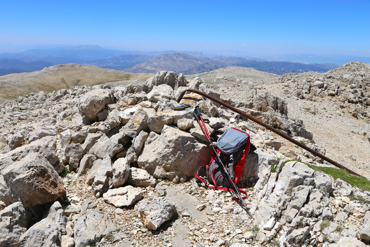
The summit has a bent, rusted metal pole, not much else. There is a summit ridge that
continues west, a couple of humps are almost as high as the summit, this ridge ends
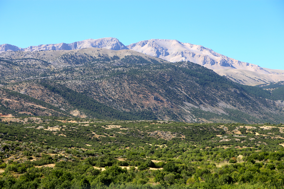
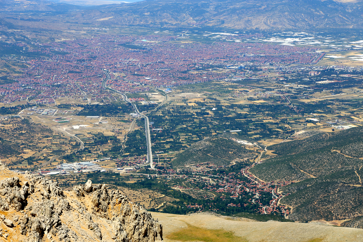
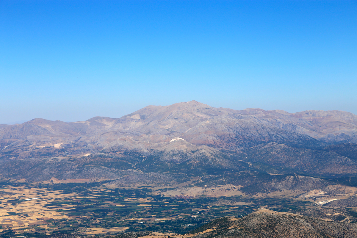
about 220 meter from the summit. At this point you have a good view down on the large
city of Isparta.
There is a solar panel, an antenna and a Turkish flag there.
Comments:
I drove from Egirdir after breakfast and was ready to hike by
0945. The service roads in the ski area were painfully level, meaning quite a lot of
walking for each 100 meter vertical gained. It took me a full 1:30 to reach the top of the
upper lift. From here, the hike turned more interesting, quite contrast to ascend up
between the cliffs and then suddenly, a new landscape appears.
I did not check my GPS and ended up walking a somewhat longer route than necessary (and no trail). Still,
before long I had the peak in sight.
I noticed sheep and dogs off to my left, the smart thing to do is then to
change course and get out of sight. Thus, I ended up with some easy scrambling the last stretch
to the summit. I arrived at 1235. The rest of the ridge (west) is a bit
more than 200 meter, since there was some kind of installation at the very end, I walked over there and back.
Leaving at 1300, it took me 45 minutes back to the lift, then another 1:10 to descend the service roads.
I was pretty thirsty when getting back to my car, having finished my water already up at the top of the
highest lift.
Here is a quick summary of peaks climbed in our trip to Turkey.