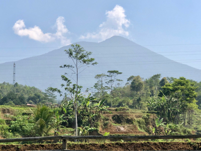
Cikuray
- Cikuray
- 2821 m
- Primary factor 2105 m
- Java, Indonesia.
- Location: South 07.32258, East 107.85984 (GPS at the summit)
- Difficulty: YDS class 2
- Climbed July 23. 2019
Cikuray
|
|
How to get there:
This excellent web-site on climbing
Indonesia peaks should always be consulted.
Garut is the nearest town of reference. Travel about 10 kilometer south from Garut along
the main Hwy. (This Hwy. connects to the town of Tasikmalaya)
My car got me as far as to location S07.29274, E107.91299, inside a small village slightly
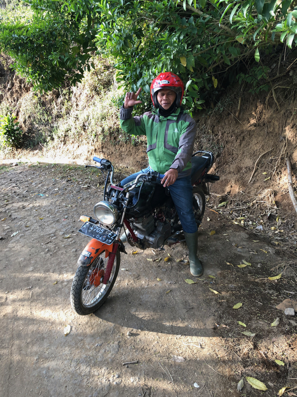
off the main Hwy. Here, I quickly got an ojek that would drive me up to the trailhead near the
TV tower.
Here is a summary and quick reference to the climbs on this trip.
Route description:
The trailhead is at a slight bend on the road immediately
before the TV tower. this is
location S07.30528, E107.88182, elevation about 1500 meter.
Follow the obvious uphill trail to a small farm and entrance station at location
S07.30679, E107.87963, elevation about 1580 meter. Sign in and pay the fee (IDR 15000 in 2019).
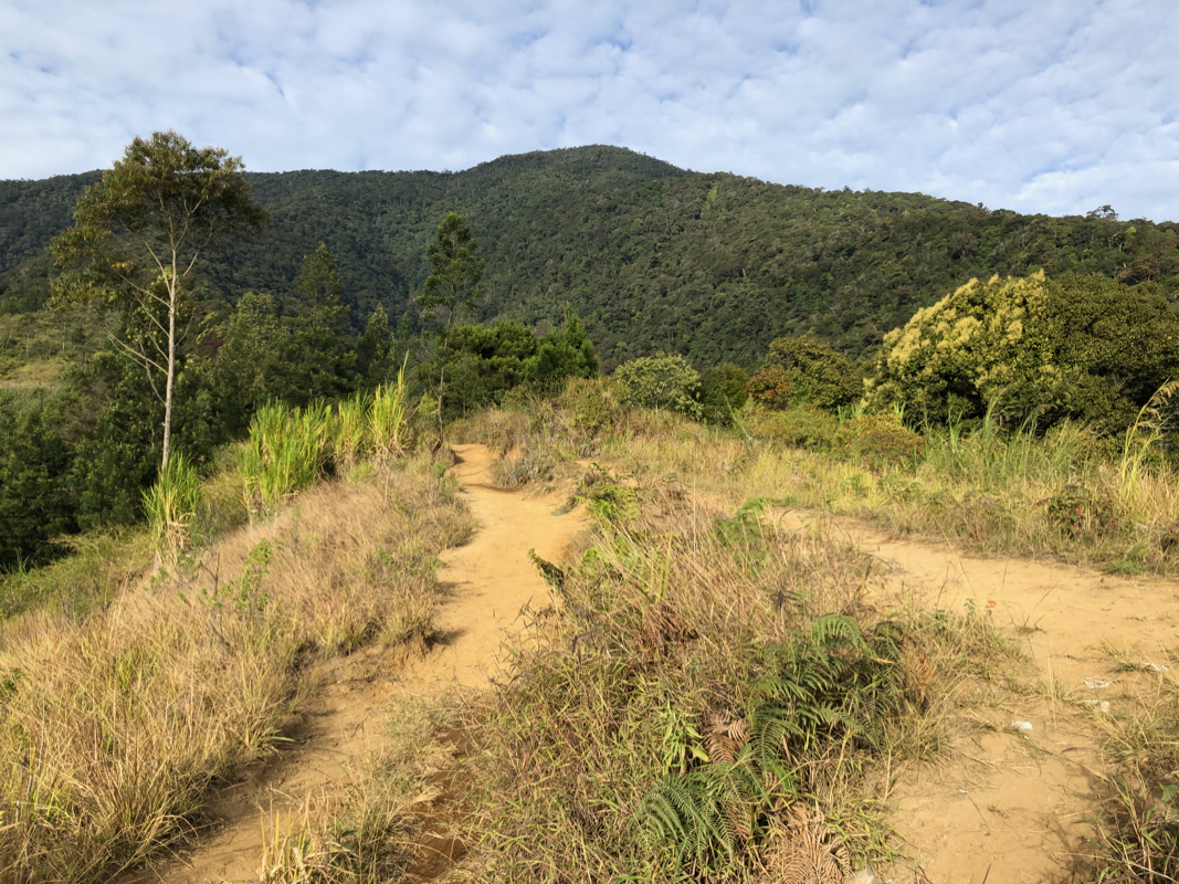
From here, just follow the trail uphill.
This trail has lots of steepish steps and is less
than perfect for normal walking. There is also too much litter along the route.
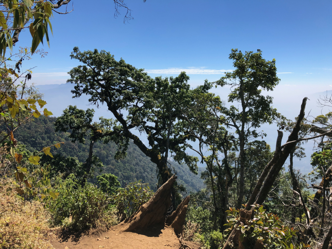
The trail climbs a ridge essentially all the way. This ridge has a few spots with
more level ground, but mostly it is a steady uphill.
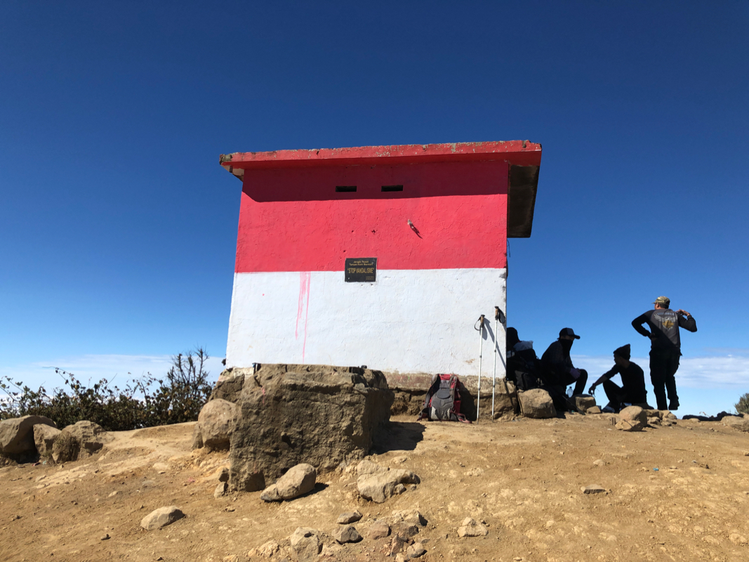
Just before the top, you enter a rather popular camping area, then a short uphill will
get you to the summit with its summit building.
Comments:
With a base in Cirebon, I knew this would be a long drive. We started from
the hotel at 0300.
By 0600 we were looking for an ojek, a bit of negotiation concerning the
price, then off. This ride was quite bumpy.
I was at the trailhead shortly
after 0700 and started walking by 0715.
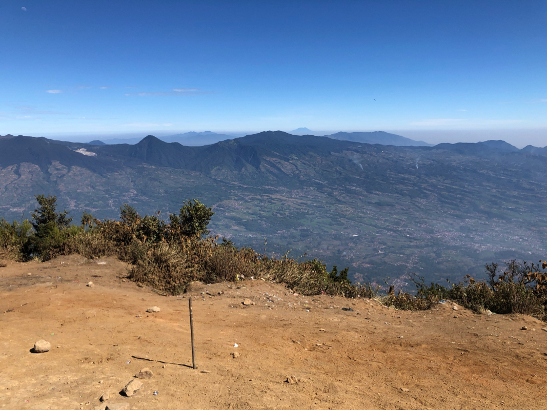
I arrived at the summit at 0930, so 2:15 up.
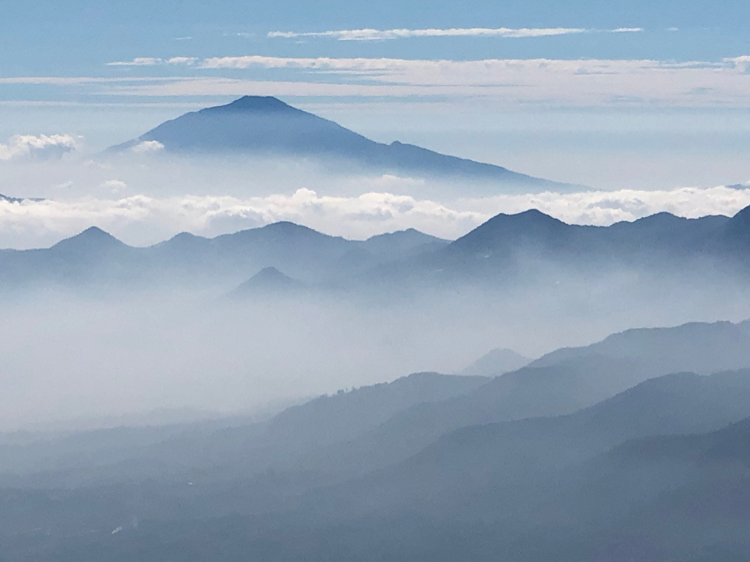
Good views in some directions, while
clouds dominated elsewhere.
I started down at 0950 and arrived at the trailhead by 1145.
It took a bit of time before my ojek showed up (new driver!), then almost
30 minute to ride back into town. The traffic going back to Cirebon was about
one hour worse than early morning. Still, back at 1700, the sun still shining
and time for a swim in the pool.