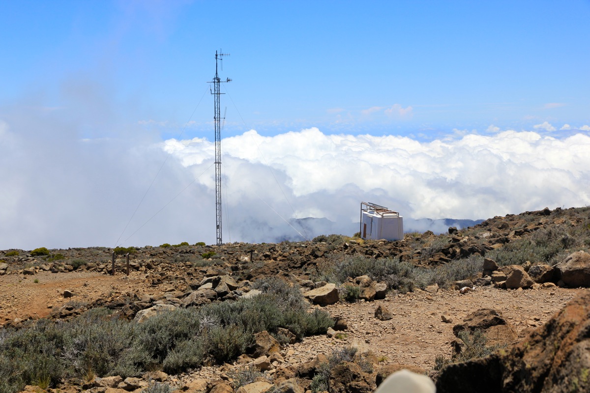
Location: South 21.11638, East 055.42251 (GPS on the summit)
Difficulty: YDS class 1
Climbed February 22. 2014
Information:
How to get there:
At the coast, start out from St. Paul or St. Gilles-les-Bains. Follow signs for
St. Gilles les Hauts. From here, take D-101 uphill and make a left in the intersection
with D-4. Follow signs to Bernica. In Bernica, you should spot a sign saying Maido.
Signs saying Le Guillaume are also good. From here, continue uphill, there are more
signs for Maido as you drive through Petite France, the last village on this mountain
road. The road continues with numerous sharp curves, to climb and finally tops out with
a fairly good size parking lot on your right hand side. Park here, this is the
trailhead, location S21.07182, E055.38640, elevation about 2180 meter. This road is
among the highest paved roads on Reunion.
Route description:
From the parking, follow the concrete road a short stretch, then
locate a marked trail (yellow paint) that heads left, aiming for the
first visible hump on the crater rim. Do not approach the rim directly from
the parking, there is a fence (barbed wire) that will cause you some
trouble.
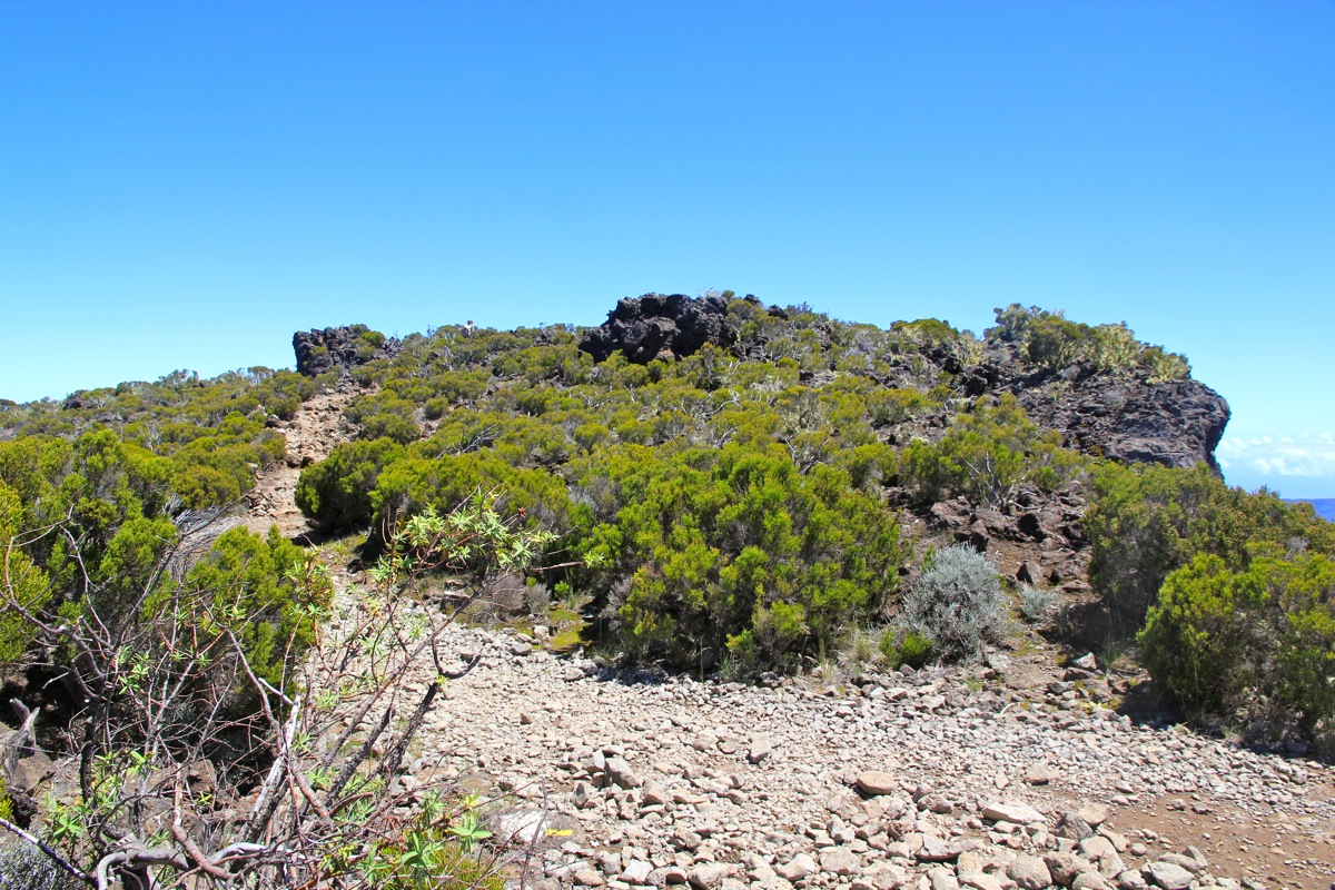
Once on the trail,
follow it as it more or less stays very close to the
crater rim most of the way to the summit.
On the return trip, in order to have a variation, take a left fork after
walking about 2 kilometer (the same trail as when ascending), the sign says
Glacière. This route will take you down to what looks like
a small rest area with some information displays. There is a dirt road here.
Turn right and follow the dirt road until it turns into a concrete road.
Continue to follow this road as it connects directly back to the parking area.
Comments:
Heidi and I arrived yesterday (february 21.) on a trip to celebrate her turning 60.
I drove to this very interesting trailhead at more than 2100 meter, started out at 1000.
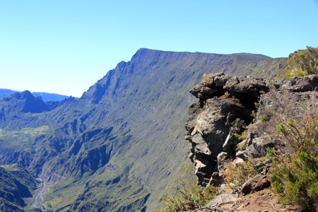
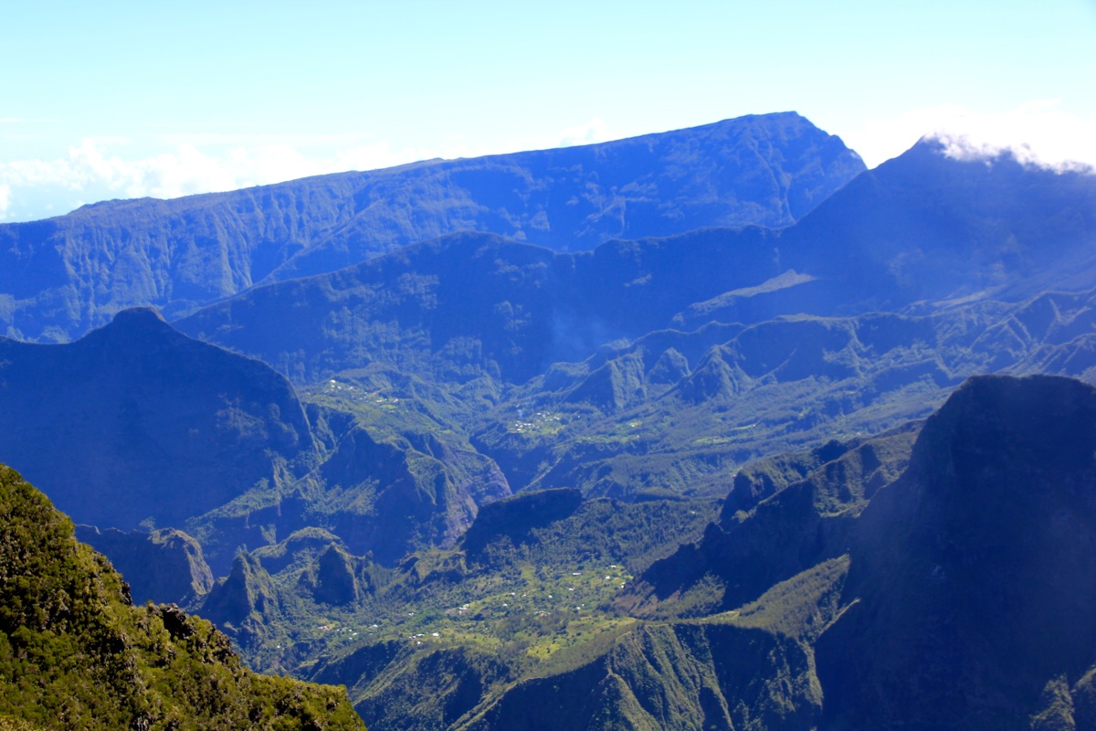
I went directly to the rim and got a very nice view
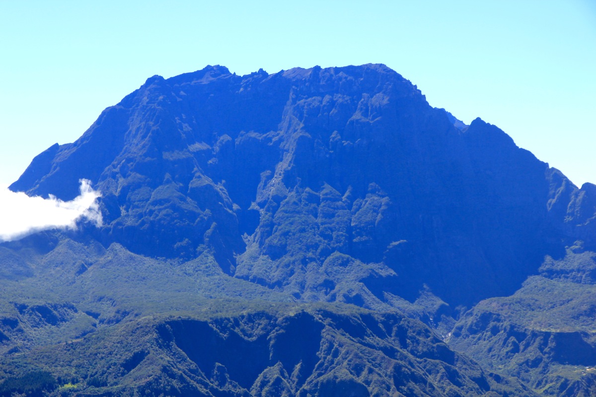
of the entire crater (very old), with
the imposing Piton des Neiges directly across.
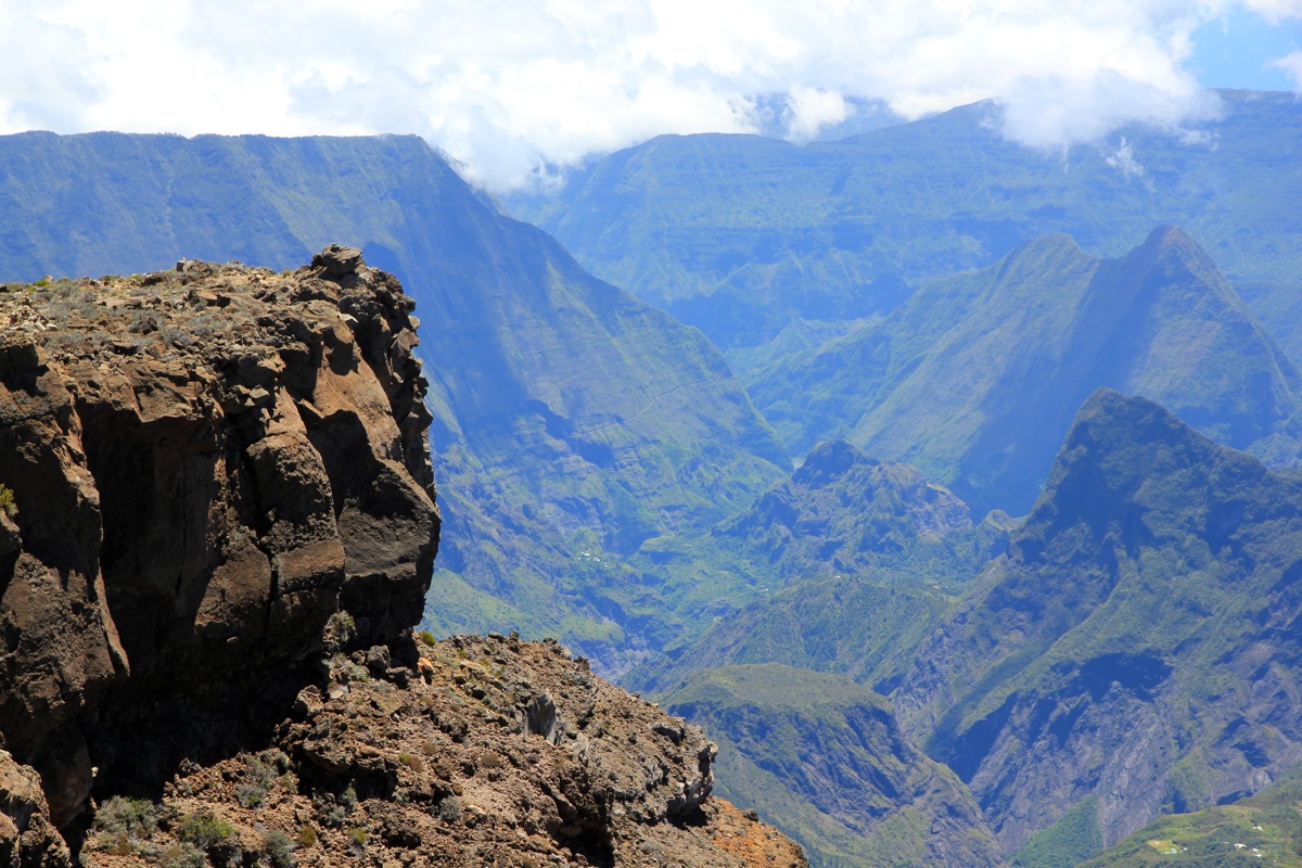
It was also pretty obvious that my
goal was the nicely shaped summit rising at the very end
of the crater wall to my right hand side.
Hiking along the rim was not smart, I ran
into a barbed wire fence and had to crawl underneath it. I then joined the proper trail
and kept a pretty good pace. However, the sun was blistering hot and before long I felt
the need for drinking. Continuing with a slightly more moderate pace, I arrived at the
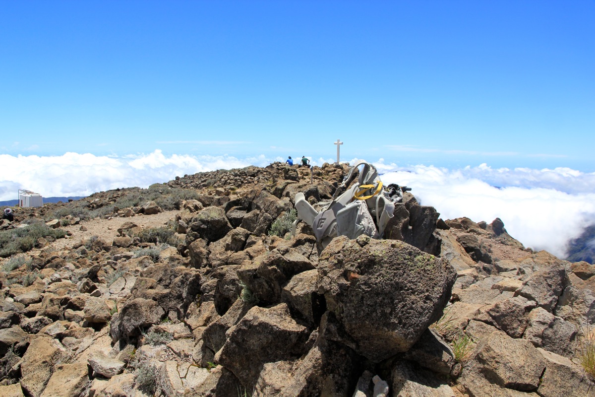
summit by 1215. I had seen quite a few other hikers along the trail. The sky was still blue
and I got a very nice overview of the landscape.
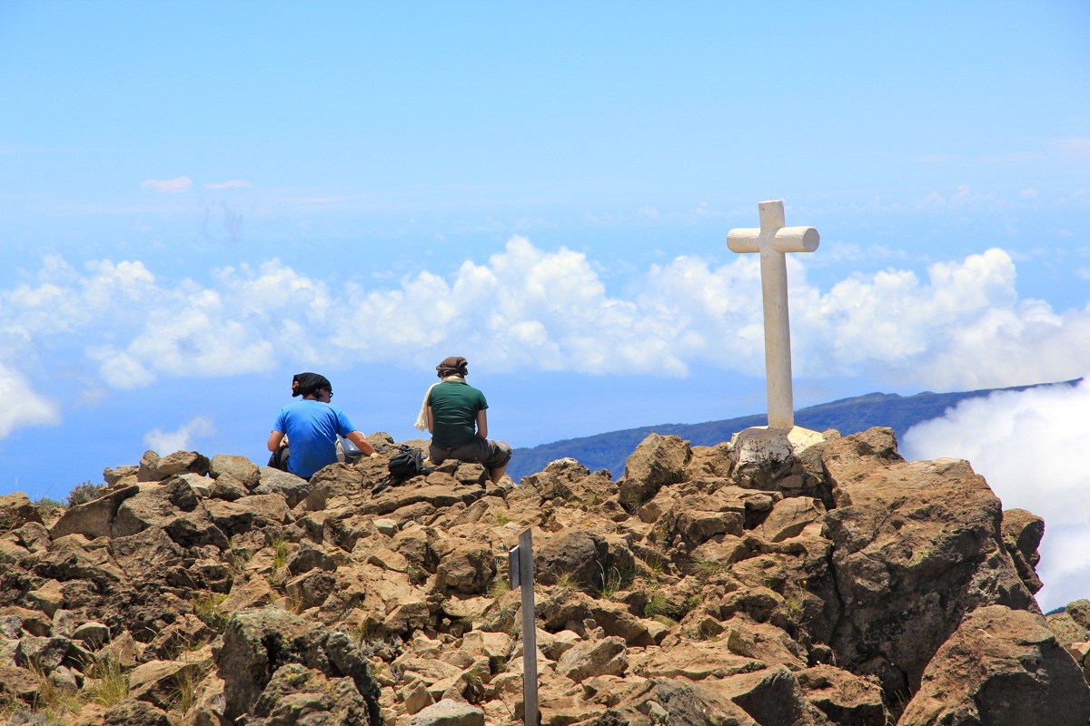
Two hikers were sitting near the summit cross,
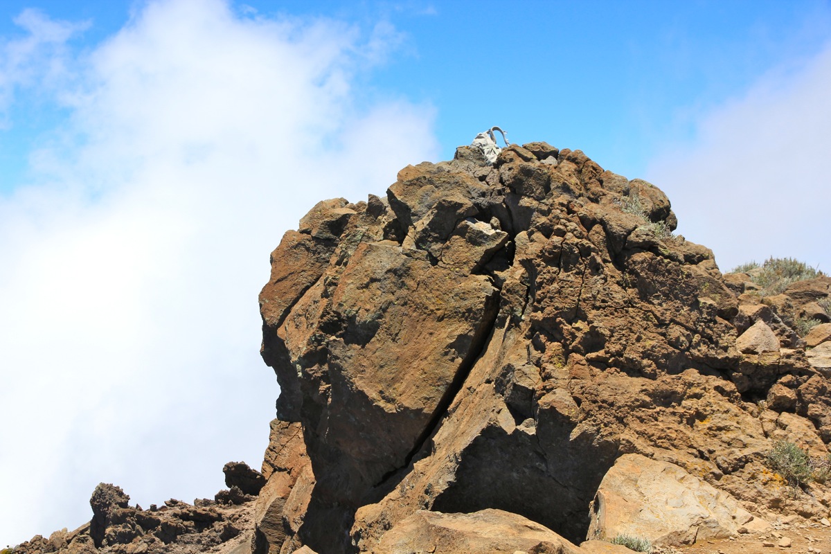
It looked as if a local top nearby was
slightly higher, so I headed over there.
Resting and drinking almost one litre of water, I stayed around until 1245.
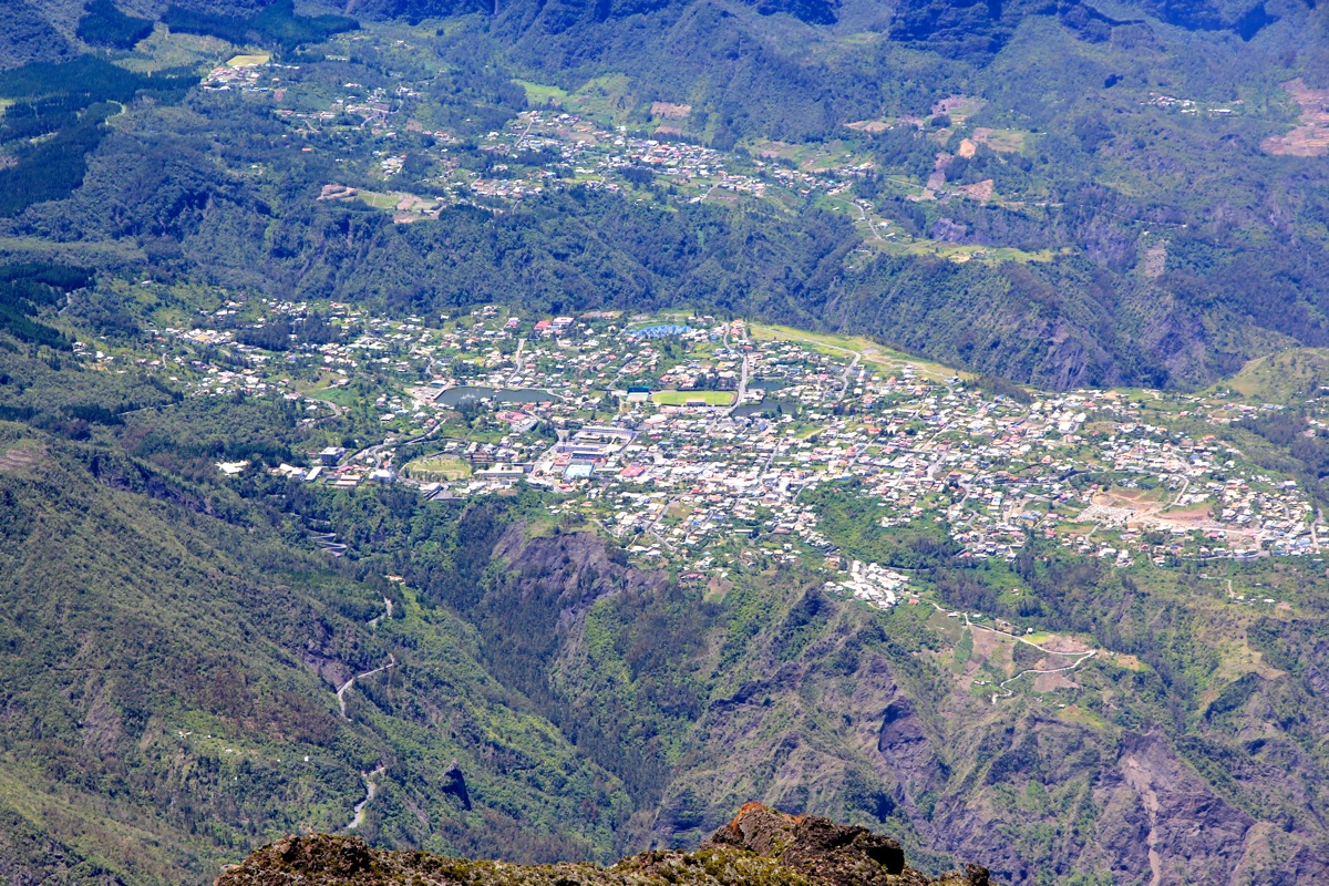
I was lucky with the weather, clouds were just now starting to accumulate. I had an
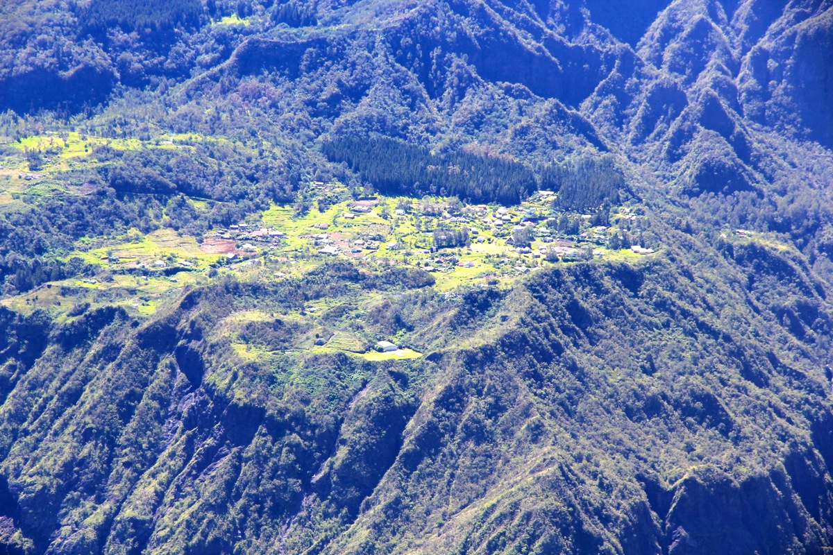
excellent view down to the village of Cilaos,
the starting point for climbing Piton des Neiges.
On my return hike, I forked left after about 2 kilometer and took the alternate
route back to the parking, arriving there at 1445.
This was indeed a superb beginning of this week long vacation on Reunion island.
Here is a quick summary of my climbs on Reunion.