Location: North 38.05327, East 030.70198 (GPS on the summit)
Difficulty: YDS class 2
Climbed July 11. 2016.
Information:
How to get there:
A detailed description is available on Peakbagger, report by McLellan.
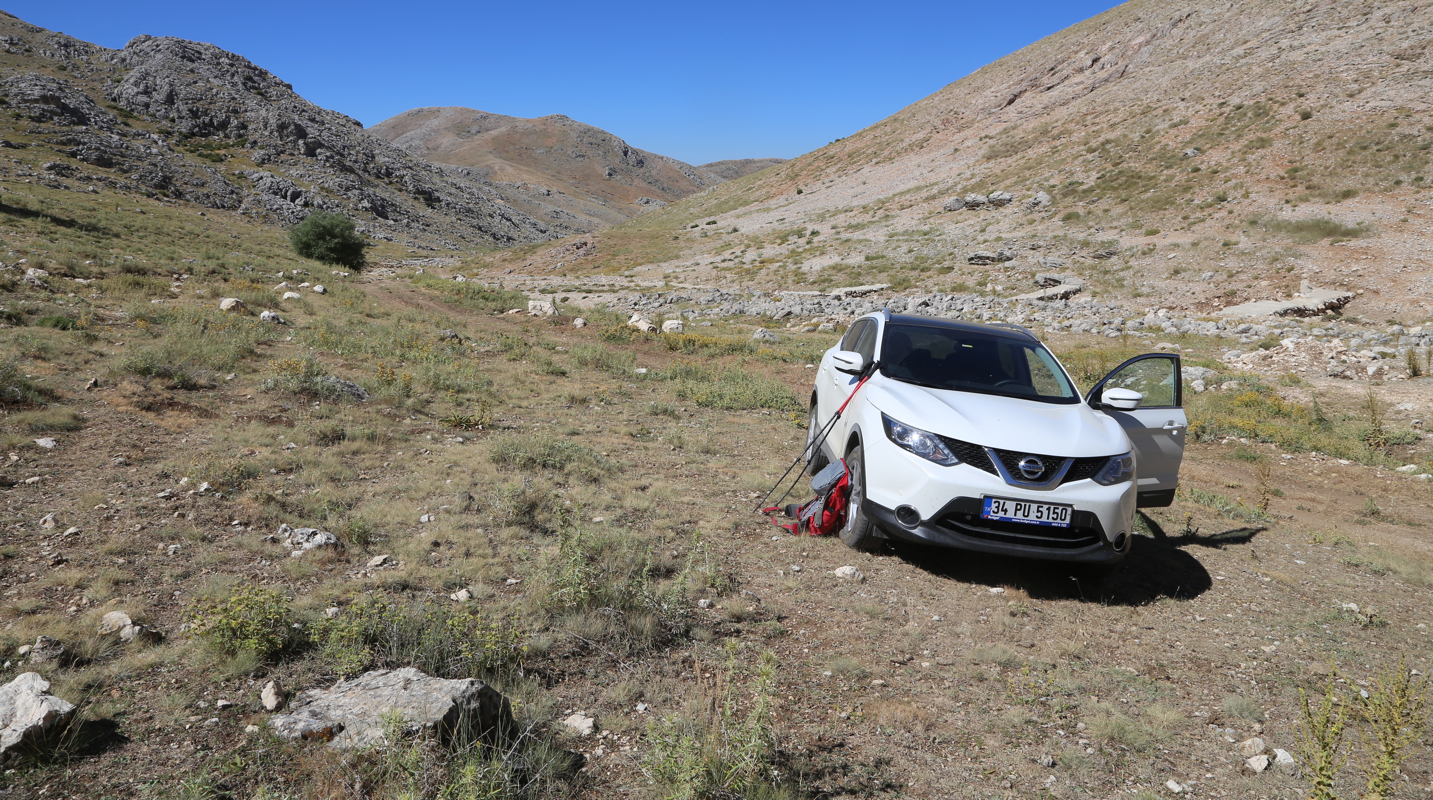
The town of Egidir is a good starting point. Drive D-330 towards Isparta.
Drive about 13 kilometer from Egidir, you will arrive at a well signed (major)
road intersection. Ignore this, proceed straight ahead. Very shortly after this intersection
another road properly signed for Atabey runs off to the right. Take this road.
Drive to Atabey, stay right in order to avoid getting into town, pass a couple of big
apartmentbuildings. Continue on a paved road that now runs uphill passing a quarry (on your right),
then the road makes a sharp right turn, leave the paved road here, going straight, through a very small
village, fork right (uphill). The dirt road will cross a dry creek, then more uphill, fork right (the biggest
dirt road) and drive up into a nice mountain valley. Branch right on a minor road just before the main
road starts climbing more steeply to a col. Park here at
location N38.01254, E030.70151, elevation about
1705 meter.
Route description:
There are two variations that make for
a nice circular round-trip. One may follow the south ridge
or go on a nice trail along the east side of the valley immediately east of the (south) ridge.
You will locate the trail by hiking directly up the hill in front, just left of the dirt road that
climbs to the col.
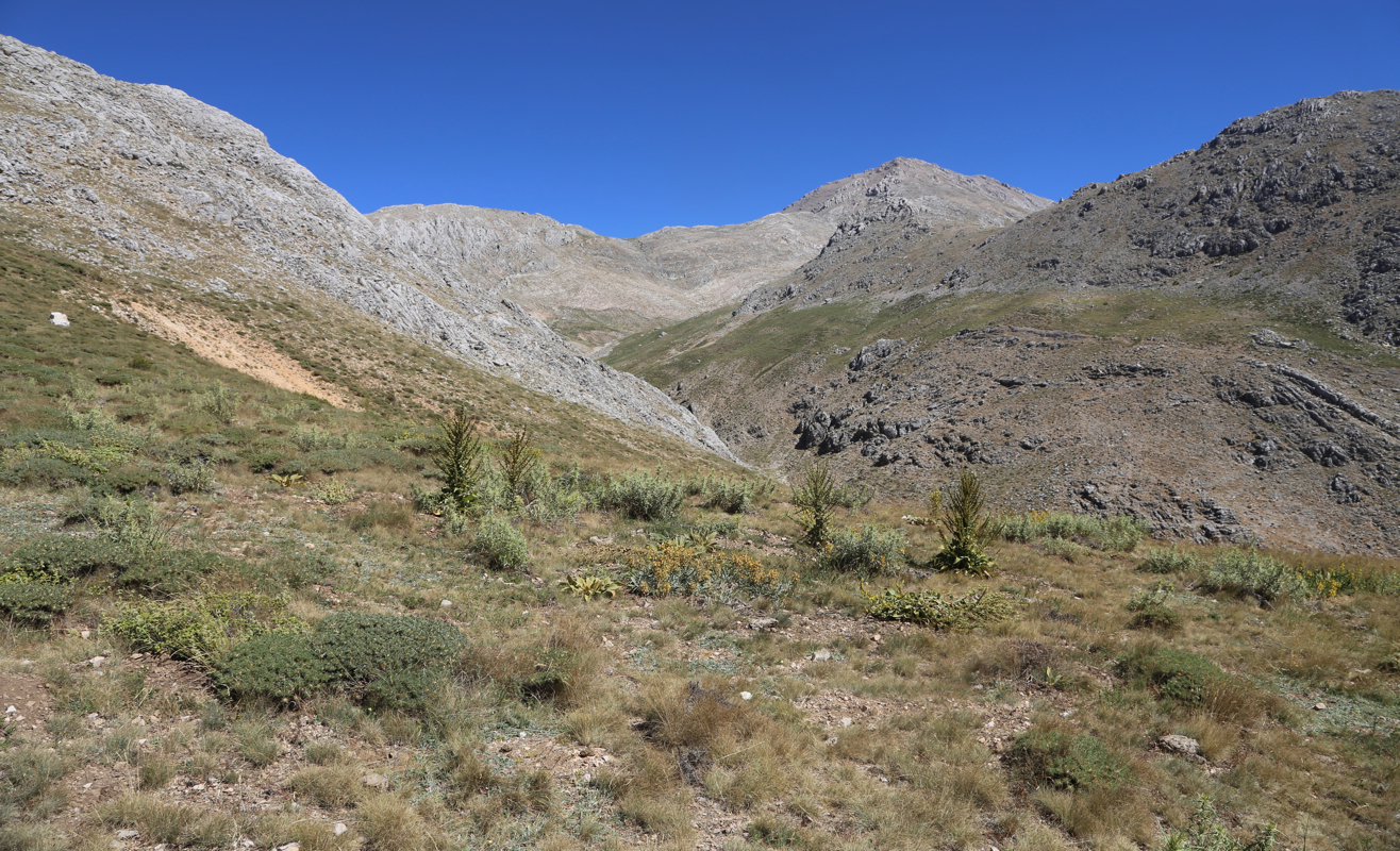
To do the ridge route (recommended), first cross the dry creek next to the trailhead and climb an easy
slope to gain the ridge. Next follow the ridge,
there are some minor cols along the way, but no serious loss
of elevation. At location N38.03517, E030.69598, elevation about 2260 meter, the long ridge sort of
joins up with the main, somewhat steeper slopes
of the mountain. Continue uphill, there are many
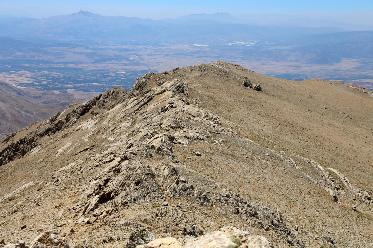
variations. Perhaps most fun to stay on or near the main crest, the continuation of the south ridge.
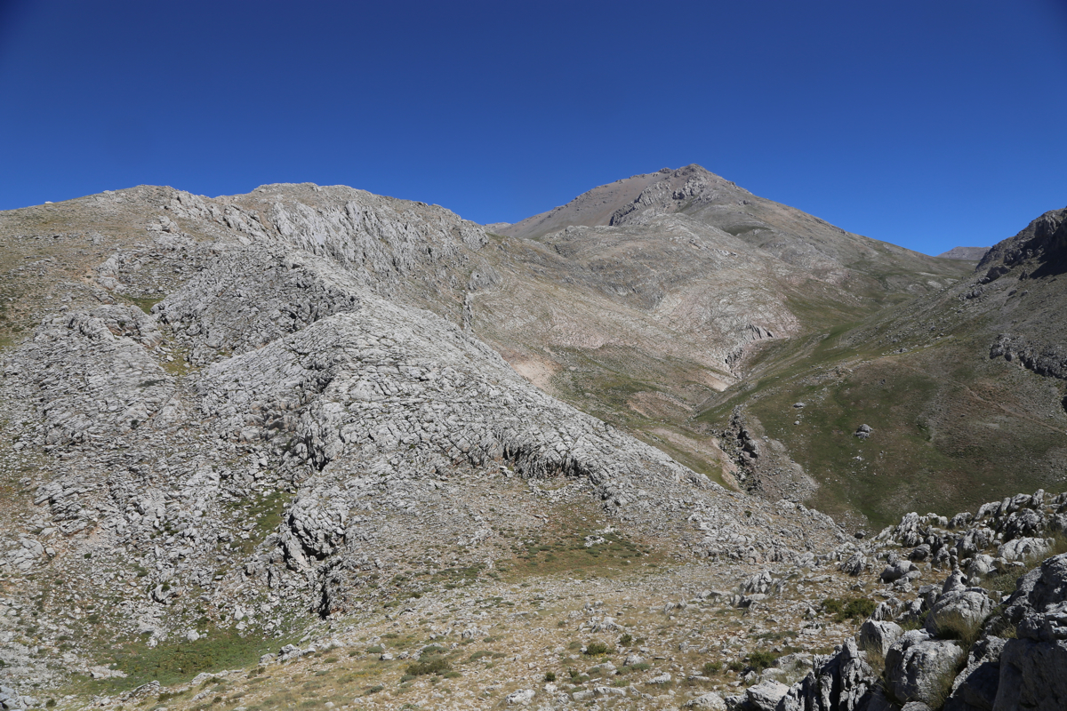
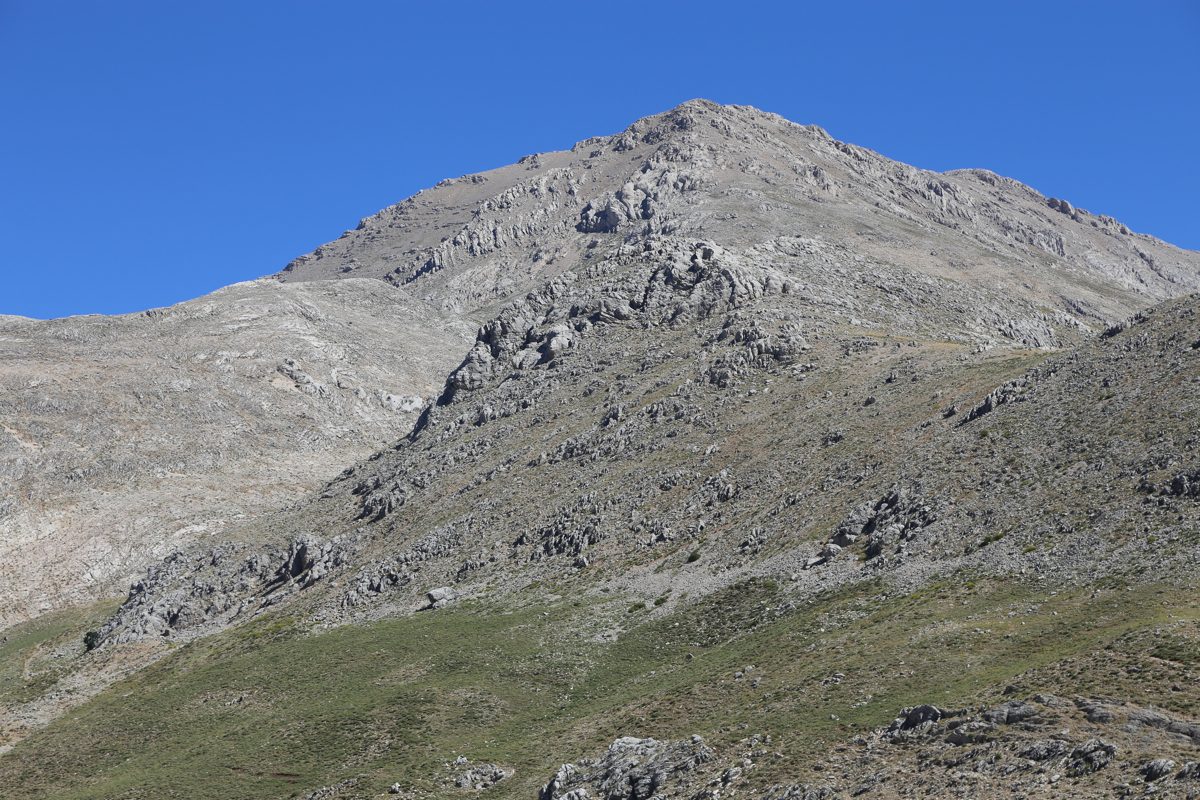
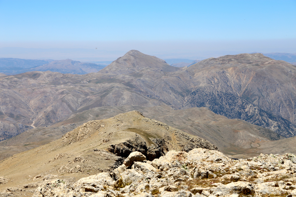
There are easy bypass routes whenever you run into steeper rock. You will top out on the main summit
ridge and realize that the summit itself is at the far end. A stretch of easy horizontal hiking, then a final,
short hill and you are done. The summit has a cairn (pile of rocks), and some traces of concrete on the
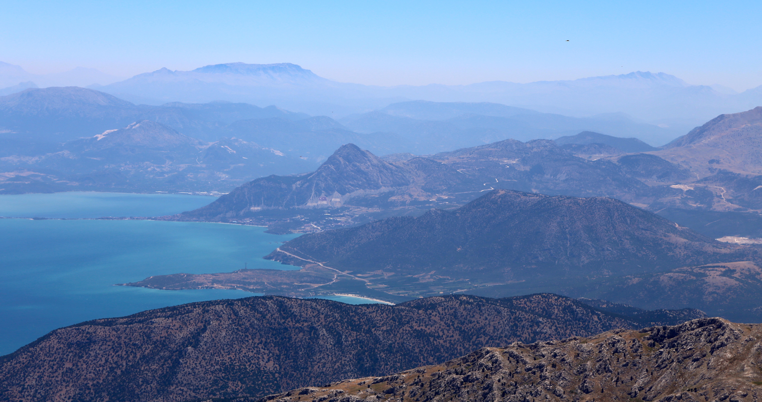
ground. A very good view of the big lake below.
Comments:
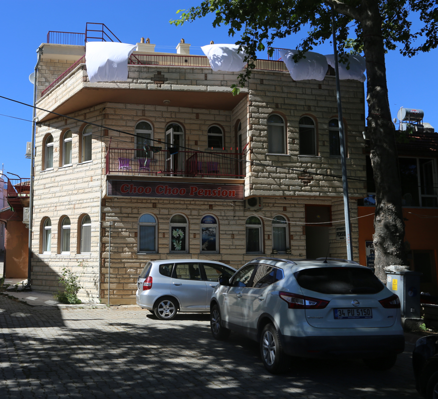
We arrived in Egirdir, more precisely, we stayed at
Choo Choo Pension on the small island of Ada, connected directly
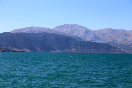
to the center of town. From here, we could see Barla Dagi across the lake.
This is a nice place with good swimming in the
lake and a convenient restaurant with views across the lake
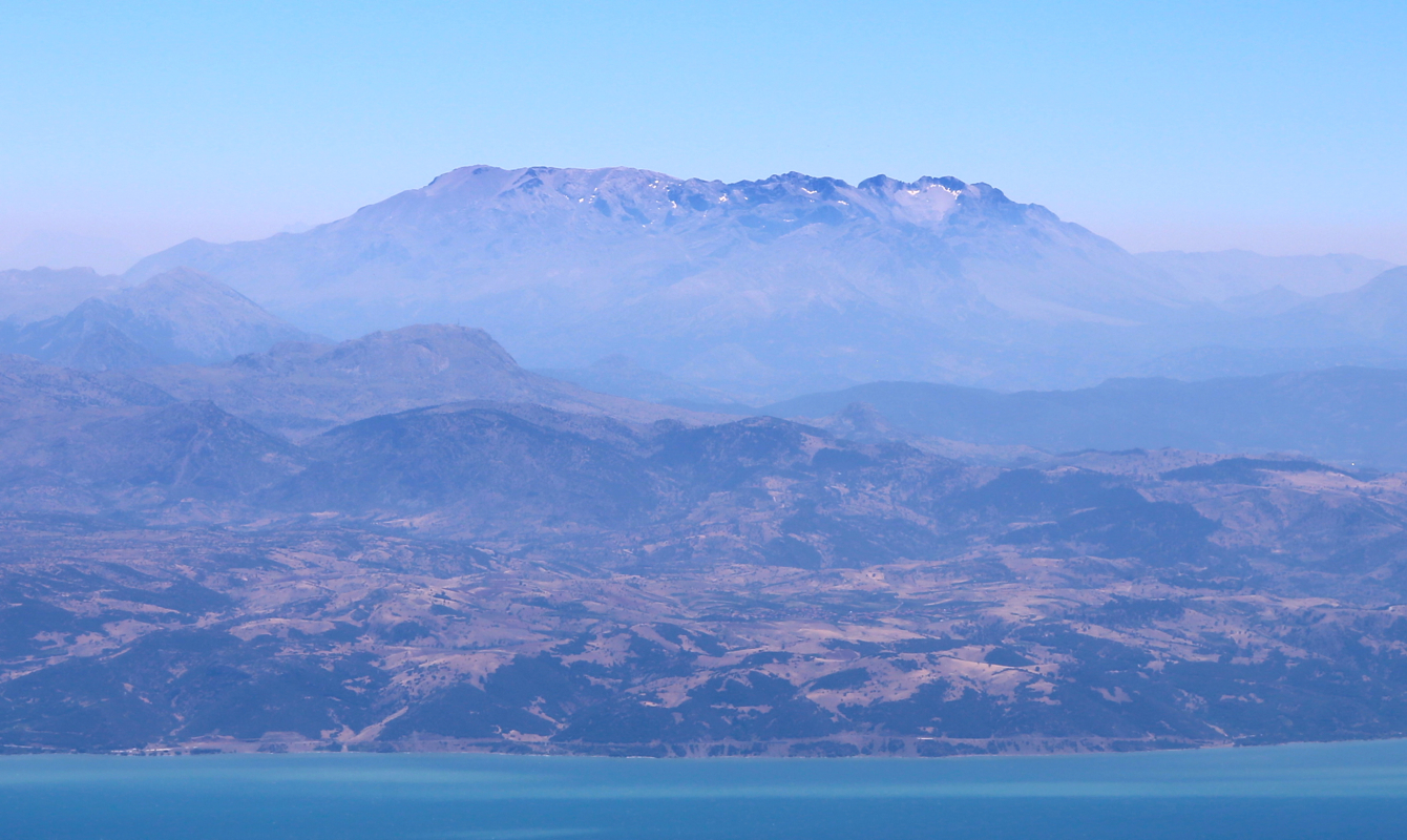
towards another ultra, Dedegol.
I started out across the dry creek at 1005, then directly up to the ridge. Once on the ridge, the route
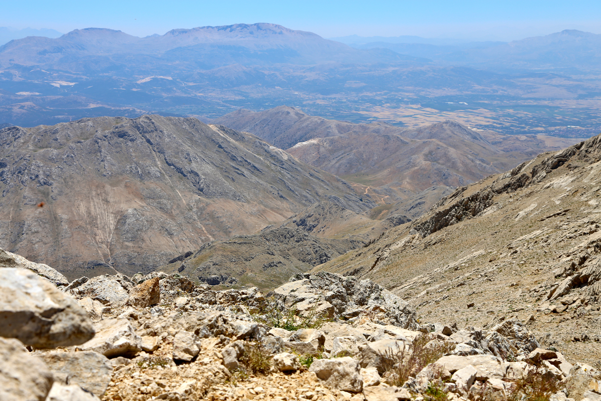
looked pretty clear. I made a brief stop at location N38.03517, E030.69598, elevation about 2260 meter.
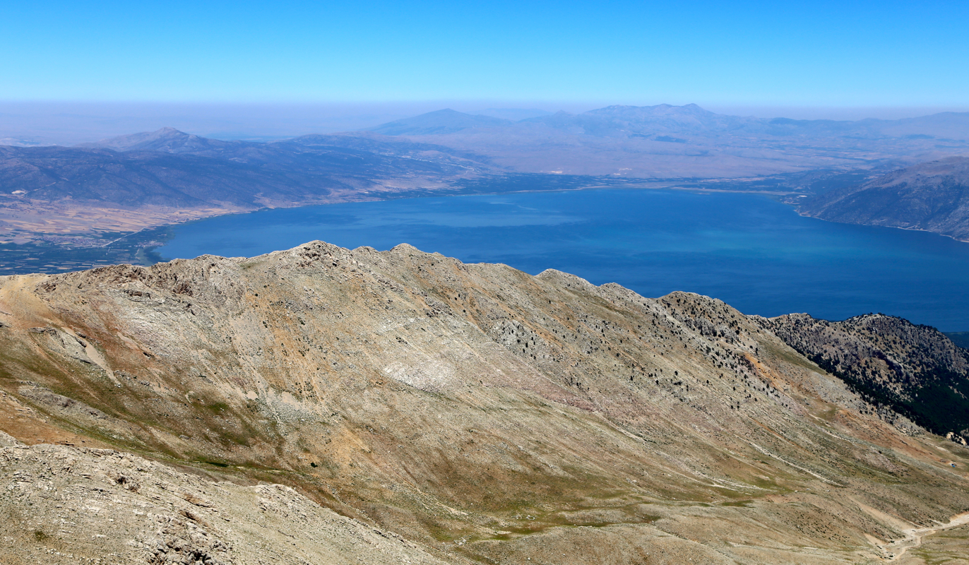
The long ridge sort of ended here, what remained was 540 vertical meter across about 2 kilometer.
I stayed mostly on the top ridge, often better than the side and clearly more fun. As I topped out,
I realized that the summit was still some (easy) way to go. Arriving at 1250, I looked forward to
drinking water and enjoying the views.
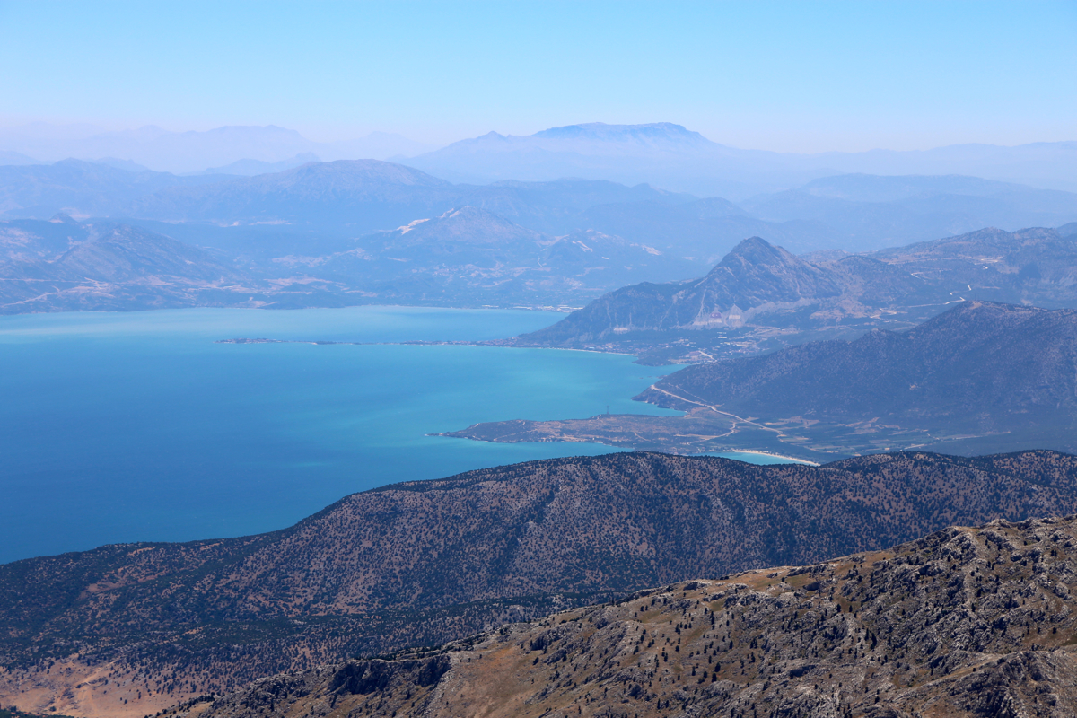
I could easily see directly back to our base camp at the small island
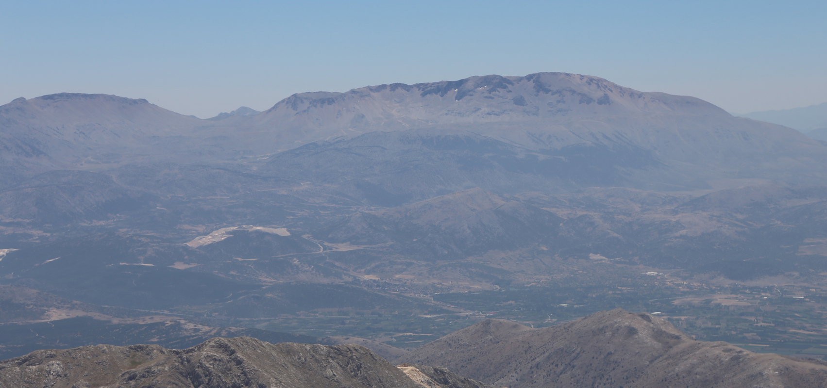
outside Egirdir. To the north, one could see the other part of the lake. It was also
easy to spot the next goal, Dedegol across the lake more to the east.
The third ultra, Devraz Tepe, more directly south.
I started my descent around 1305, there were sheep on the east side, I therefore went back along
the top ridge, before
descending
scree slopes to the small valley. The valley had cows both old and young,
but they seemed well used to people.
Here is a quick summary of peaks climbed in our trip to Turkey.