Alamo Mountain
- Alamo Mountain
- 2249 m
- Primary factor 768 m
- California, USA.
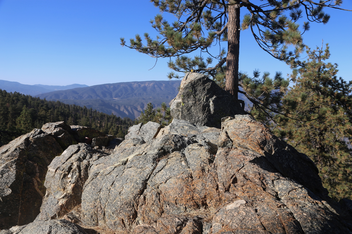
- Location: North 34.66700, West 118.95890 (GPS on the summit.)
- Difficulty: YDS class 2
- Climbed September 19. 2018

Alamo Mountain
|
|
How to get there:
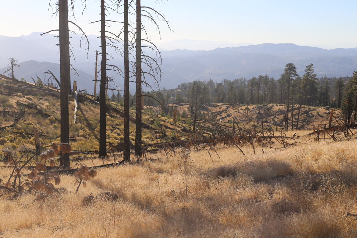
From Los Angeles, go north on I-5. Locate two consecutive
exits, Exit 202, Gorman, followed by Exit 205, Frazier Mountain Park
Road. These two exits are also connected by a parallel road running just west of I-5.
Locate Gold Hill Road running south from this prallel road about 1.5 kilometer west
of Gorman. Drive Gold Hill Road, first uphill, then across a shallow pass, then
more gently downhill into a broad valley. The road gthen turns 90 degrees right
and climbs across a second pass before finally descending into the valley at
the base of Alamo Mountain. The road now climbs the side of Alamo, it is still
paved, but now turns to a 4WD dirt road. After a long climbing ascent the road
finally hits a signed intersection. From here, a dirt road circles the
summit of Alamo. The summit can clearly be easily climbed from many points,
the shortest approach may perhaps be on the far side. Drive around (going right
is likely the shortest route). I parked at a small turnout at location
N34.66558, W118.96870, elevation about 2100 meter.
Route description:
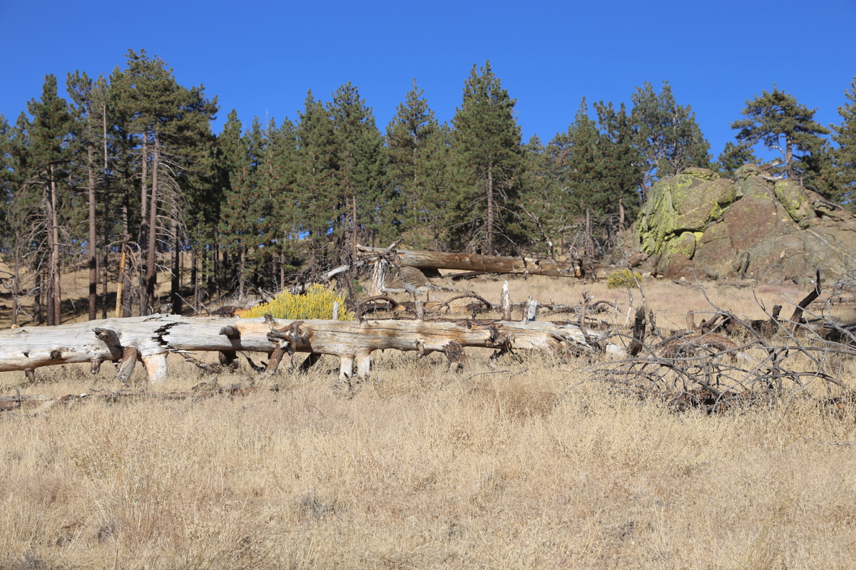
From the trailhead described above, the route to the summit is an easy
uphill walk. The only obstacle is fallen trees,
quite many all over the route.
Most of them can be crossed rather easily.
Comments:
After coming from Mount Pinos, I drove the short distance to I-5,
then located Gold Hill Road. It took quite some time to drive this road, but finally
I came to the signed road fork where the dirt road that circles the summit begins.
I drove left and arrived at a suitablke spot to park
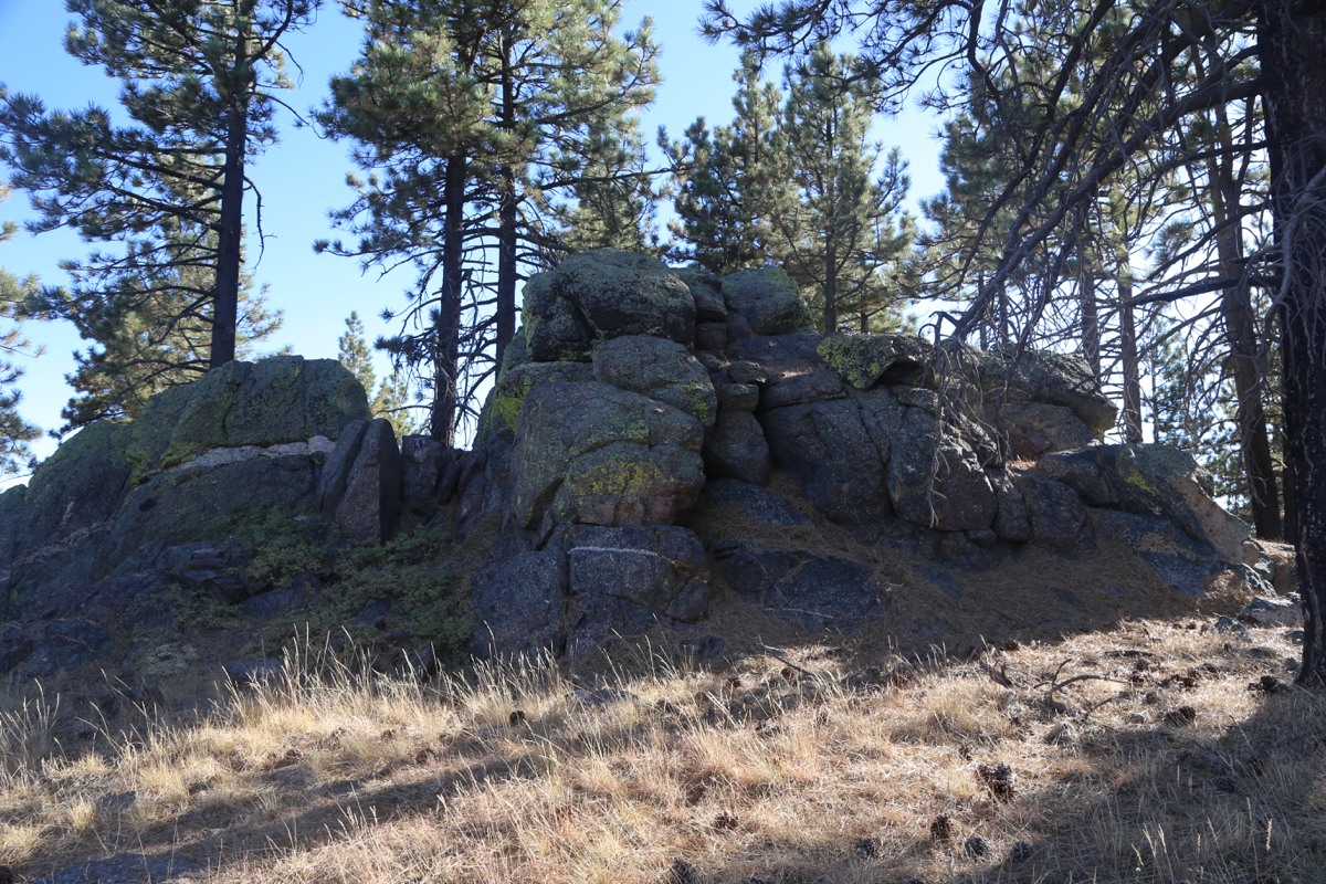
at 1630. It took me 20 minutes to walk to the summit area. I first arrived at the
hump marked on the map (and on Peakbagger!) as the highest. I quickly realized that
this was incorrect and proceeded to the highest point. After about 15 minutes, I walked back
down to my car, the descent took another 20 minutes.
Resources: