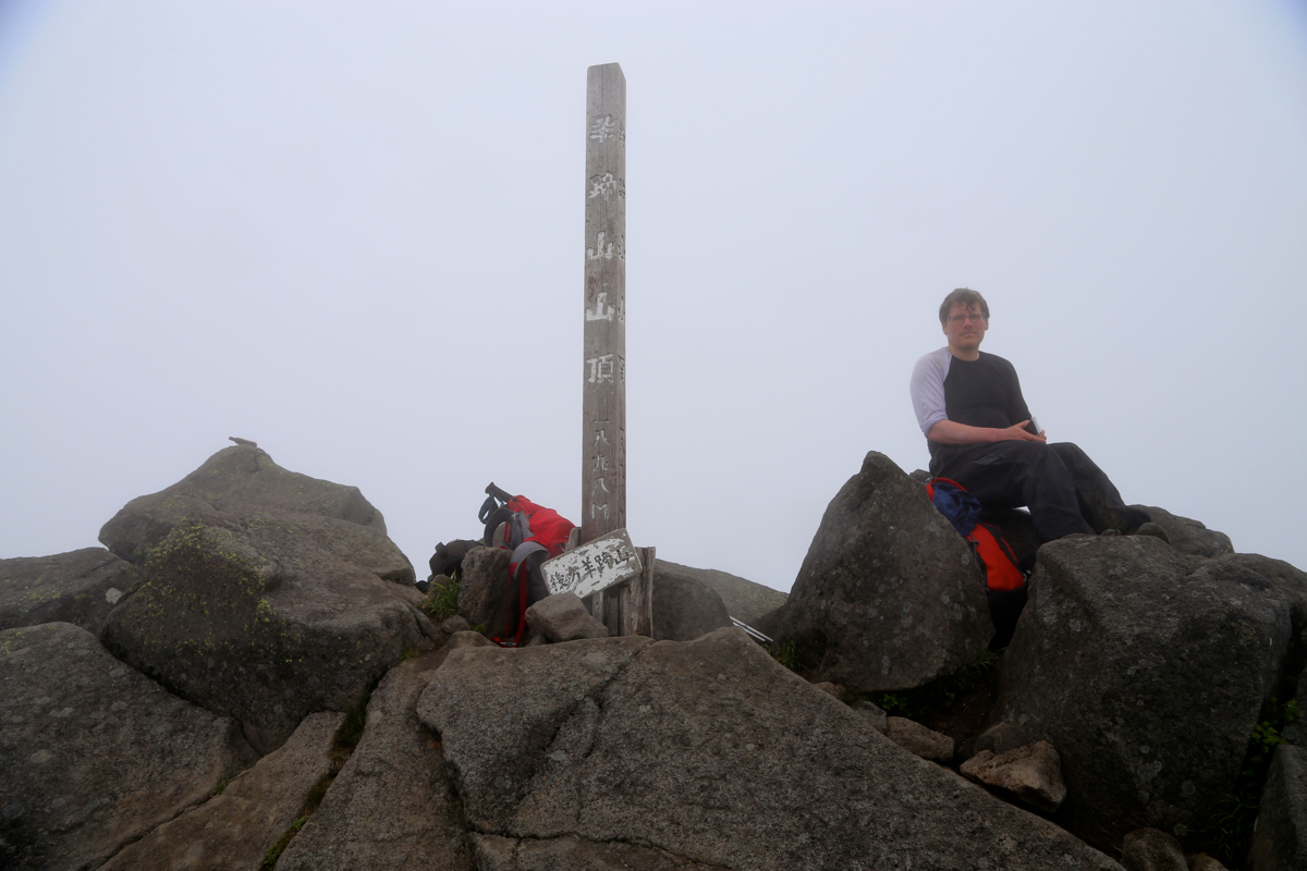
Location: North 42.82660, East 140.81146 (GPS at the summit)
Difficulty: YDS class 1
Climbed June 24. 2015.
Information:
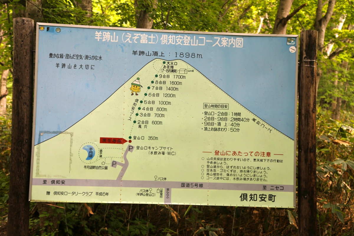
How to get there:
From the village of XX, where we slept, drive about 5 kilometer along yy, then locate
a smaller road that runs off to your left hand side. There may be a sign there as well.
Take this road to its end, a pretty large parking area at location
N42.84595, E140.75899, elevation about 350 meter.
Here is a summary of climbs from this trip in the summer of 2015.
Route description:
There is water and information signs
at this trailhead. The trail starts out pretty
flat, a good, wide trail that runs very gently uphill through the forest towards the
base of the mountain. Pretty soon, the uphill is more steep ad the trail considerably
more narrow, possiby a bit slippery after rain. Continue uphill passing several numbered
"stations" along the way. Pretty high up there is a trailfork. Go left, the trail now
makes an ascending traverse keeping left (when facing uphill), there is a second trailfork
where one also should keep left. Shortly after this, you arrive in a lower area of
the crater rim. Follow the trail that heads uphill to your left. There still remains a good
section of crater rim walk with some shorter sections of very easy scrambling, before
you arrive at the rocky highest point. Comments:
We started out from the parking area at 0750 and took a brief rest at
station 4 after one hour. The weather was still very cloudy, limited visibility.
We overtook a few Japanese hikers before arriving at station 7 in a bit less
than 2 hours at 0945. Continuing uphill, we arrived at what looked like a summit,
having a proper cairn, at 1040. However, our GPS confirmed that there was still
some way to go. We arrived at the true highpoint at 1100. Perhaps as many as 15
Japanese hikers were already here.
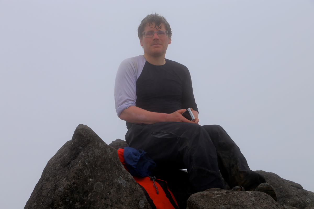
We rested until 1115, then decided to complete the crater walk, despite of fog
and zero visibility. This hike took 45 minutes, thus we were back at the last
trail fork (when ascending) at 1200. The descent from here to the parking
required another 2 hours, thus 1400 and time to head back to the Sapporo airport
to deliver our rental car.
