Whale Peak
- Whale Peak
- 1630 m
- Primary factor 823 m
- Location: North 33.02948, West 116.31617 (GPS at the summit)
- California, USA
- Difficulty: Class 2 (YDS)
- Climbed September 23, 2018
Whale Peak
|
|
How to get there:
Locate the charming historic town of Julian on Hwy. 79.
Continue east from Julian along Hwy. 78. Fork right at
Scissors Crossing onto Hwy. S2 - Great Southern Overland Stage Route.
Drive about 7 km to location N33.05700, W116.42157. Take a dirt road
left at this point and immediately continue along the rightmost fork
(heading south-east).
Continue on this 4WD road for about 7.5 miles to location N33.05079, W116.33334.
You are now on a local hilltop in a broad saddle. Turn right here and drive
a few hundred meter to the end of the road. This is the trailhead,
location N33.04669, W116.33303, elevation about 1240 meter.
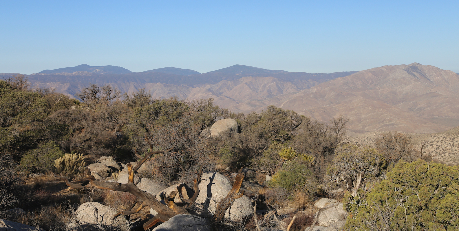
Route description:
From the trailhead, start ascending the distinct
gully (or tiny valley) that is directly uphill.
It may be best to start out slightly on the right
hand side, but one should get into the bottom of
this gully as soon as it is convenient. Continue
uphill while staying in the gully, it will turn more
left at its upper end.
As you exit the gully, you will see a clear trail that continues
across the pretty flat terrain in front of you. This trail is marked
with cairns and actually leads all the way to the summit.
However, it is easy to loose this trail in several locations, one needs
to be rather careful in order to stay on the trail. To make things a bit
more confusing, if you loose the trail, then you will most likely locate
small cairns built by people that were also off-trail. Thus, a cairn does not
imply that you are on the correct trail, while you will indeed see (many)
cairns as long as you are on track.
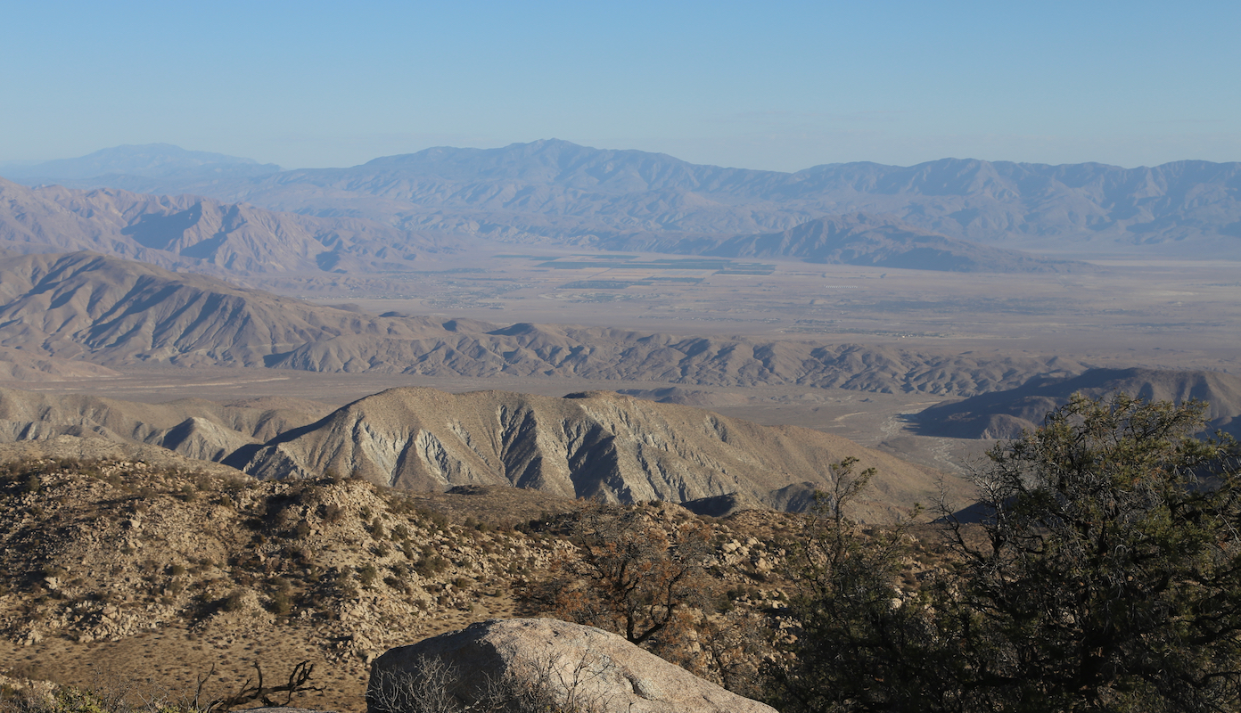
The trail descends slightly before climbing a ridge. Next, a pretty flat area
before another descent into a small valley. Here, another trail comes up from your
right. Continue a gradual ascent to the base of the upper mountain. The trail climbs right,
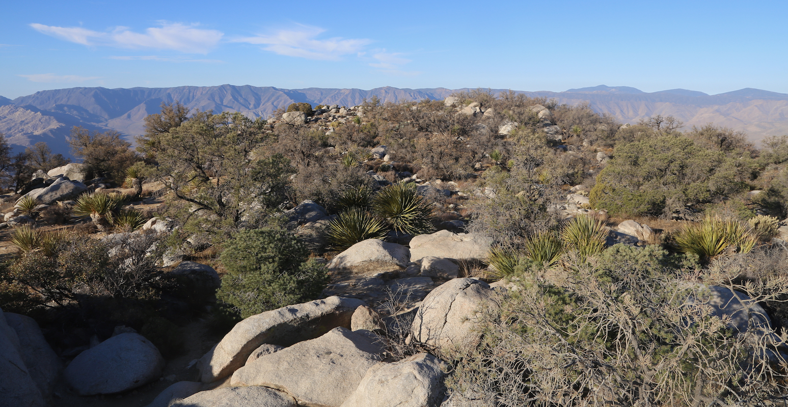
then traverses into a slightly steeper section which is then ascended. Finally, traverse
the fairly flat summit plateau,
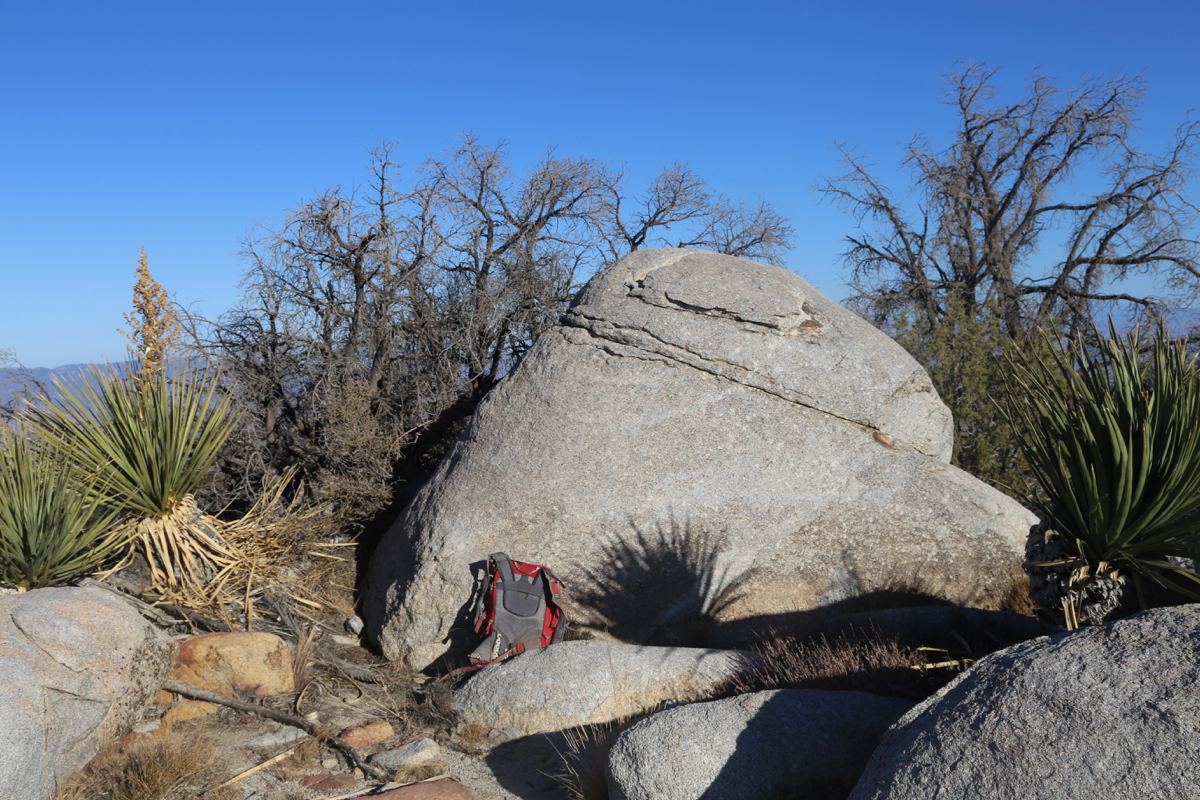
passing near a competing (boulder) highpoint.
Comments:
I left my motel when it was still dark, planning to arrive
at the trailhead by first light. The 4WD road took a bit longer than
planned, but as I was about to park,
a very nice sunrise could be observed.
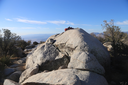
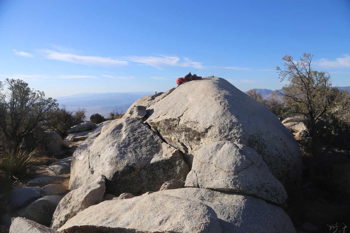
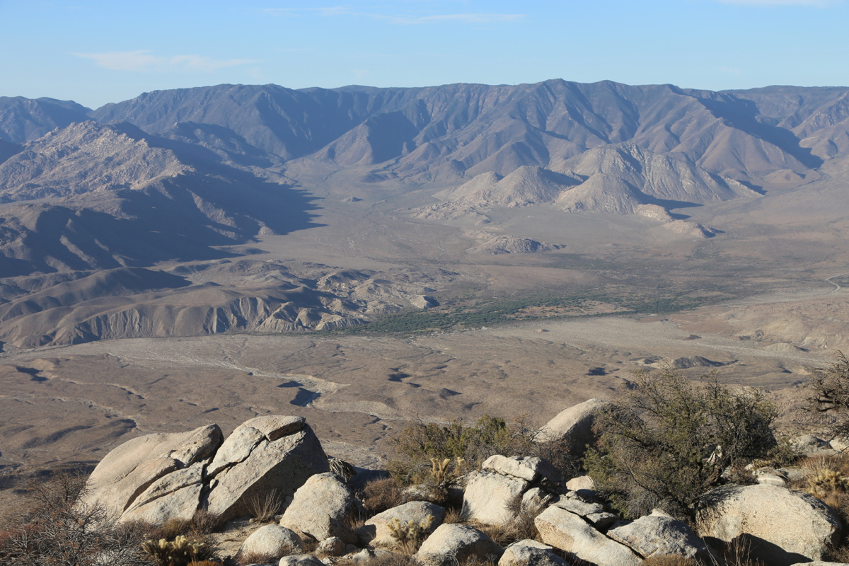
Starting at 0645, I reached the summit plateau at 0800. The coordinates for the summit
defines a big boulder (that is easy to ascend).
There is a summit register at its base.
However, there certainly is a competing rock
at the other end of the plateau, of similar
height. Its location is at
N33.02895, W116.31712, my GPS showed a very similar elevation. One may easily visit
both rocks.
I descended back down to my car, this time without loosing the trail, in one hour.
It took me 22 minutes to drive the fun dirt road 7.5 miles back to the paved Hwy.