Location: North 27.47002, West 112.59190 (GPS at the summit)
Difficulty: YDS class 2
Climbed November 23. 2018.
Information:
How to get there:
Locate the town of Santa Rosalla on the east coast of the Baja penisula along Hwy. 1. North of
town, this highway turns west in order to cross the penisula. Drive to location N27.39080, W112.66560,
and locate a dirt road that forks off and starts out going a bit back (east), then heads more
away from the Hwy. This road is nice initially, but becomes a bit rough. A high clearance
vehicle is recommended. Drive until the road crosses a wash at location
N27.47875, W112.53275, elevation about 545 meter. Park off the road here. This is the trailhead.
Route description:
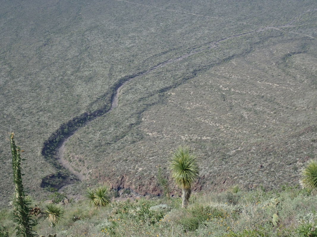
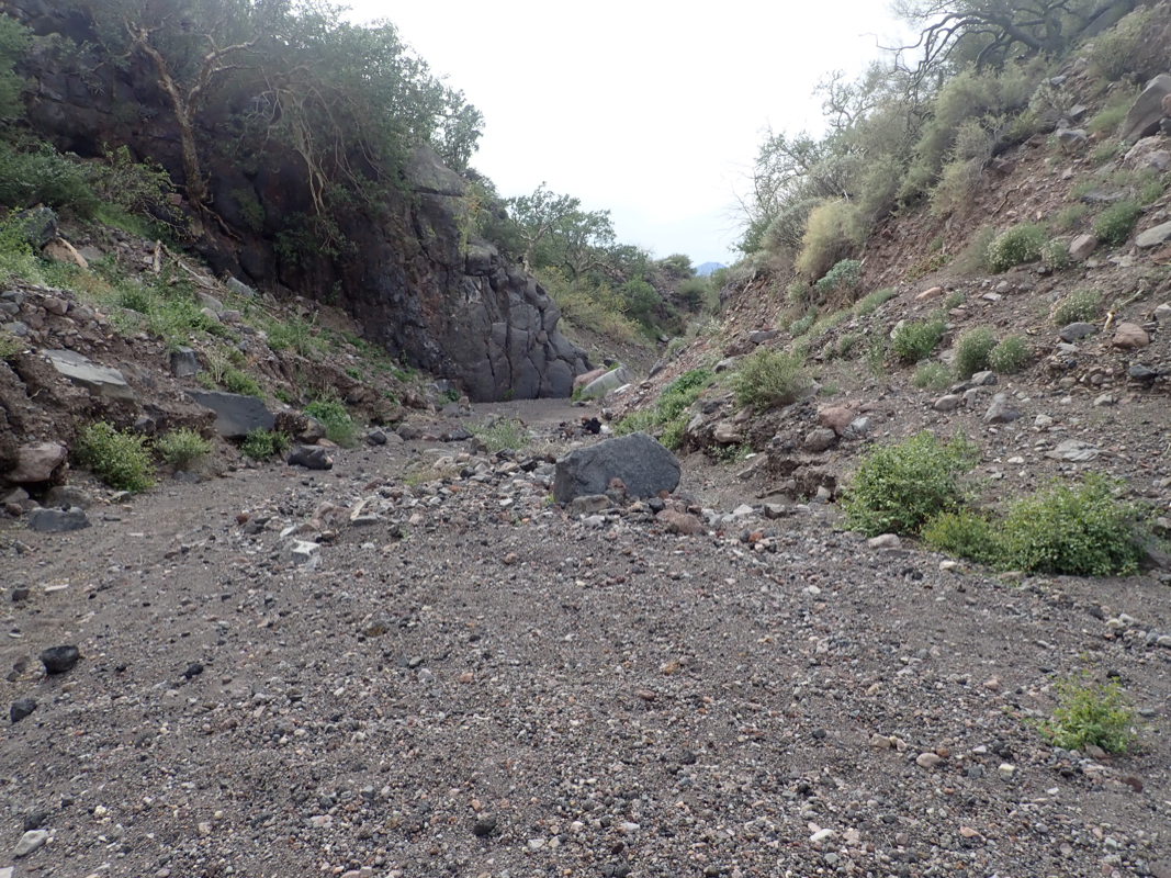
From the trailhead, walk up
the very nice wash
(that crosses the road).
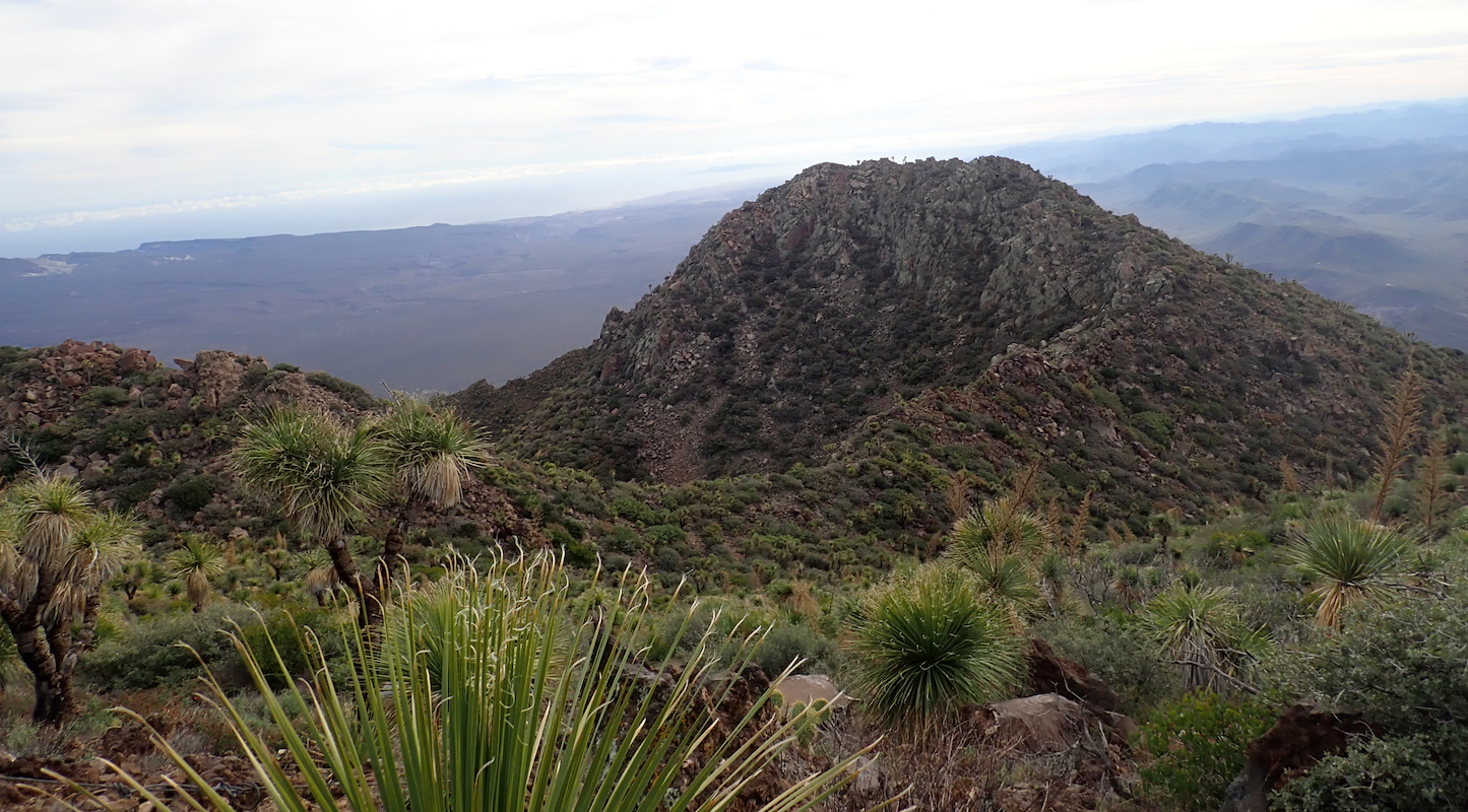
This wash is the key to a nice access to the volcano slopes. (See picture.)
Stay in the
main wash (left at one point)
and continue until location N27.47294, W112.61506, elevation
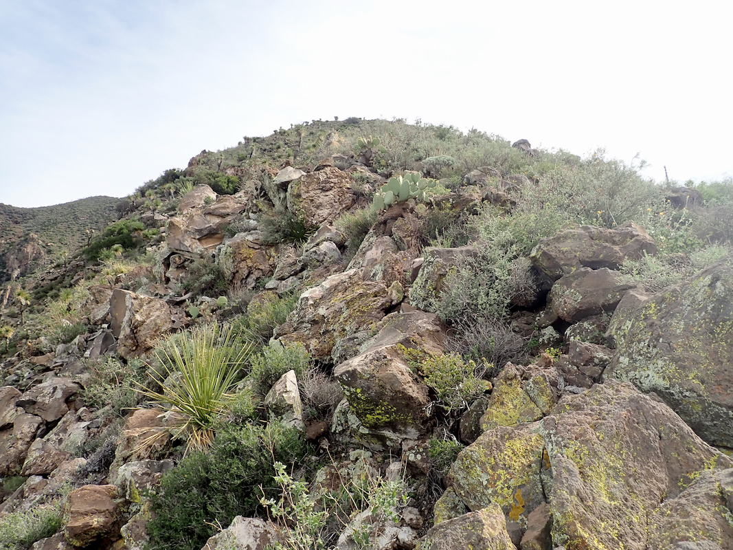
about 790 meter. Exit right here and find your way up on scree between bush and cactus.
Gain approximately 250 vertical meter, as you see rocks on the ridgeline to your left, try
to locate some animal track or passage that will get you there, it is certain to involve
some unpleasant combination
of bush and cactus.
Once on the rocky ridge, continue uphill
along this line, the rocks get better and the
bushes fewer as you ascend. This will get you on top of a small hill, the end of a ridge that
extends out from the main summit slope.
Decsend slightly to the saddle, then proceed up
the final slope. There are rocks between the bushes that may be followed more or less all the
way, some nasty bushes may be unavoidable. The highest summit is to your left, the best approach
is to climbs towards the small saddle immediately right of the summit, then turn left
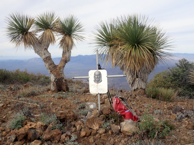
and gain the summit area. There is a cross, a trigonometric marker, an antenna with a solar
panel and a summit register.
Comments:
I did this climb with my friend Adam Walker. We had been climbing the Laguna highpoint far
south on the penisula and stayed in the town of La Paz. A day of driving got us to the
trailhead where we camped.
Starting at 0530 with head torches,
we walked up the wash and then ascended the scree up right.
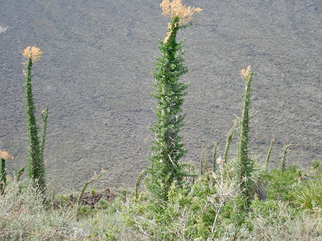
Daylight came as we traversed to a rocky ridge. This climb was generally cumbersome, lots of
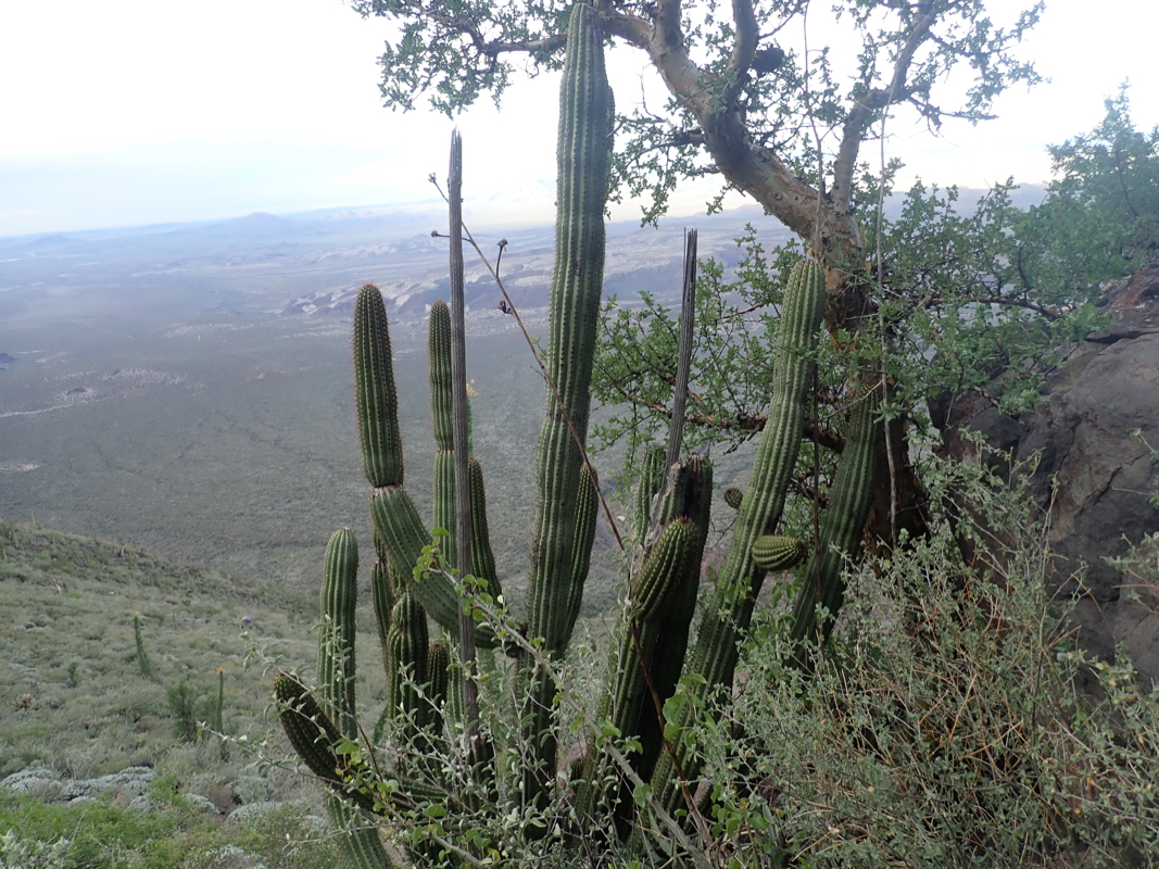
cactus and bushes, the type of terrain that quickly consumes time.
In fact, many types of plants, some of which
I had not seen elsewhere.
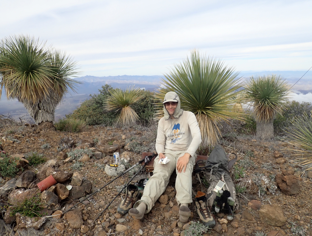
We reached the summit at 1010,
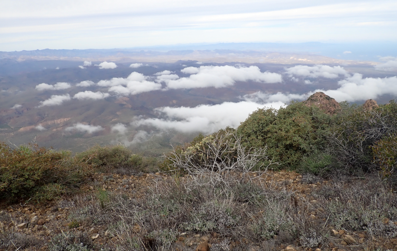
not bad considering the terrain. The summit area is not a bad place to rest,
a small marker, a summit register revealing a surprising number of ascents and
a good view.
We spent 30 minutes on top before turning back down.
The descent was still cumbersome and we left the ridge a bit early only
to run into brush and cactus trouble. Adam took a fall and landed on top
of a cactus, not recommended, but perhaps hard to avoid.
Finally, on scree, then easy down to the wash and back out to the road, arriving at
1430, for a total trip time of 9 hours.