Location: North N39.48997, East 020.79096 (GPS at the summit).
Difficulty: YDS class 1.
Climbed October 13. 2021.
Information:
How to get there:
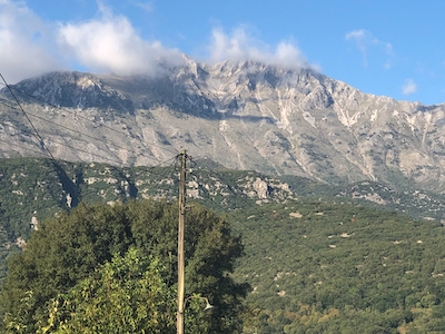
This mountain is located south of the city Ioannina. Locate the point N39.46144, E020.79062 on a paved
road, this is very close to where this road crosses a col. (Use Google if needed) A small dirt road
forks here, right next to a small building. The road immediately makes a sharp right turn. This road
is perfectly fine for a high clearance vehicle. If you cannot drive up here, then hiking from this
starting point is quite feasible as well. (This will add about 3 kilometer and about 350 vertical meter
to the route. After 7 switchbacks you will arrive at a flat plateau with some farm activity. Find good parking near location
N39.47077, E020.78982, elevation close to 1250 meter. One may drive to elevation 1320m, at location
N39.47369, E020.78461, where the road ends, however this section may be rougher and one may as well hike
from the trailhead recommended here.
Route description:
Head across the flat terrain,
bear left, then follow smaller trails to regain the road in the hillside (left side!) and
follow the last road section (climbing left) to the road end at the lower end of a pretty
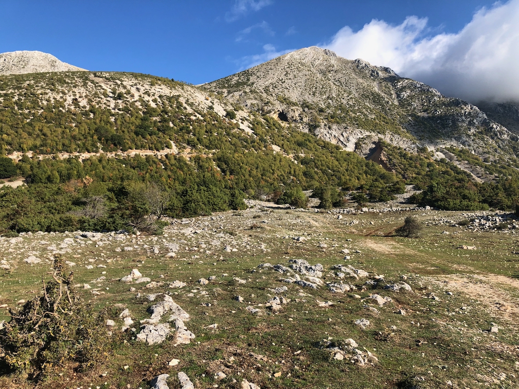
distinct valley that heads uphill. This location is N39.47369, E020.78461, elevation about 1320 meter.
Follow various paths up the middle of this valley, quite a lot of loose scree. Continue uphill, first along a small ridge
that runs slightly right (east) of the main drainage, higher up the best route crosses to the left (west) of the
main drainage. There is really no clear trail, but the walking is easy. Gradually, the route separates a bit more
from the drainage (going west) and the route should make the col just south-west of the south peak, elevation near 1800 meter.
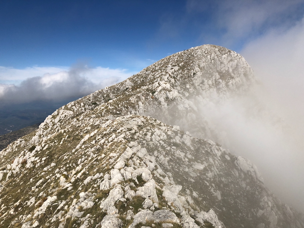
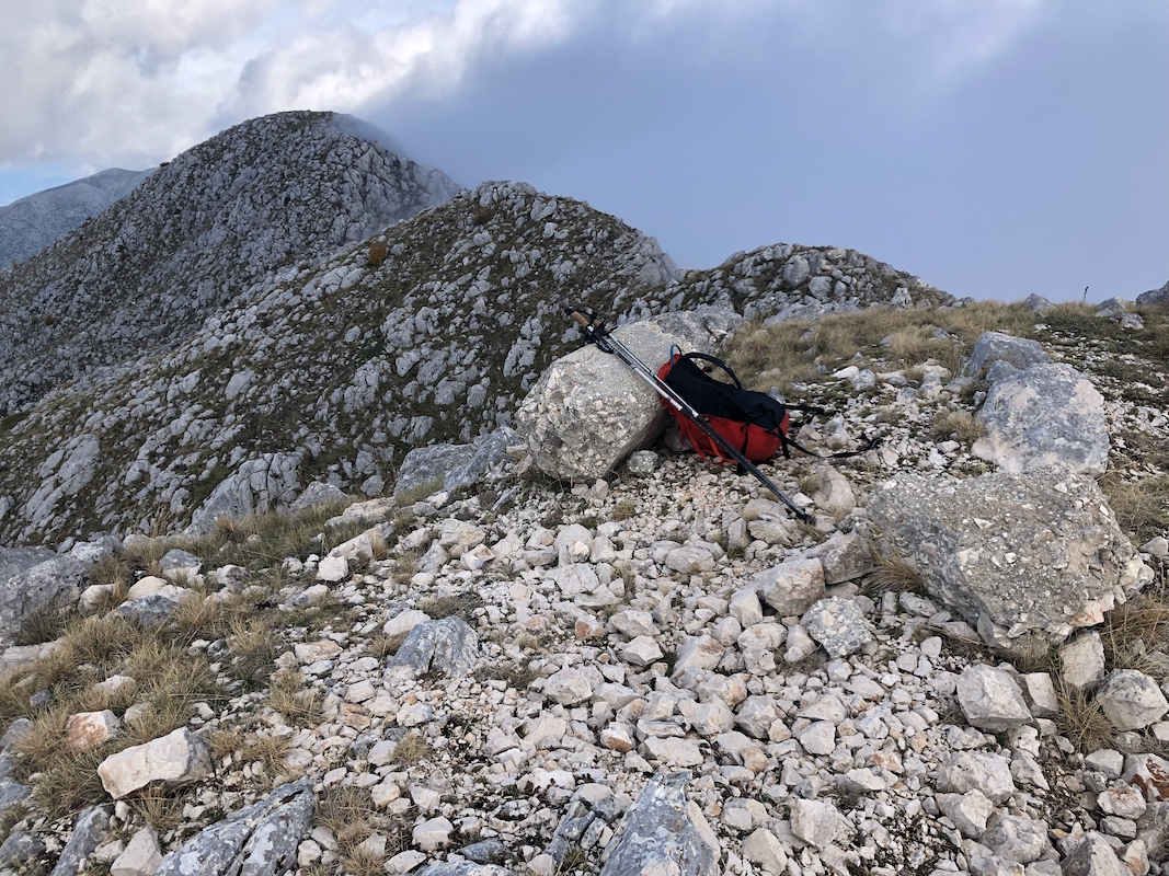
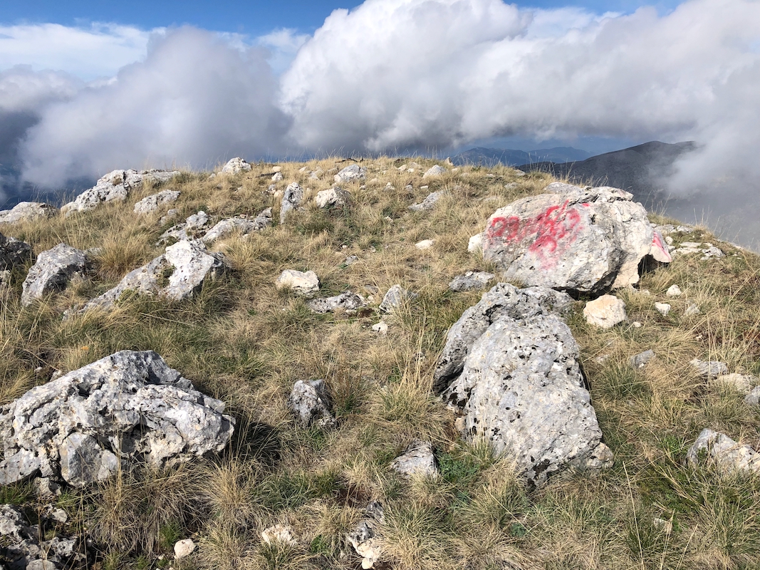
Hike directly up this ridge to gain the south summit. It has a fallen concrete pillar and seems to be locally
recognized as the summit.
Next, make the traverse north to the north summit. Measurements indicate that this is the true summit, but only
slightly higher than the south summit.
Comments:
I left Metsovo quarter to 0900 and was ready to leave my car at the 1250 meter trailhead around 1000.
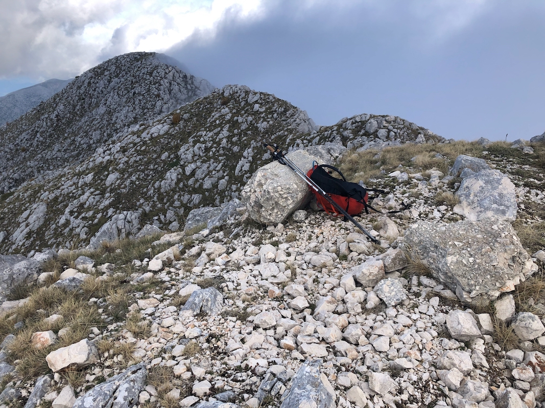
The weather was nice and sunny. I hiked uphill, but ended up picking a route east of the main drainage.
This got me onto the main south ridge and next to the top of the distinct sub-peak listed as 1928 meter
on my map. Descending to its col, then ascending the south peak,
i was unaware that this was indeed the
official summit. It had taken me 1:30 to get here.
The north summit
looked "clearly" higher and I continued towards it without making
a stop and without making a GPS recording of the south summit.
Upon arriving at the north summit, I repeated my mistake,
now looking back, and seeing no signs of
any summit marker, I decided to return to the south summit.
Back there, I now made a short rest
and measured the elevation by GPS. My GPS read 1964 meter. I now (finally!) understood that the two
summits are indeed very close in elevation. Thus, a second visit to the north summit seemed
necessary. Back north, this summit now measured to 1965 meter.
Later, reading the report of Rob Woodall,
I think his observations are consistent. It appears that the north summit is the highest by a small
margin.
I started descending at 1215 and using a more direct route, arrived back at my car after one
hour, at 1315. The sunshine had just ended and it looked as if some rain could be imminent.
Note:
I do hope to see reliable elevation data (Ribus project) confirming the
elevation of 1974 meter. It may be possible that my GPS readings are almost 10 meter low,
but this would be very unlikely. My guess is that the correct elevation is less
than 1970 meter. The Ribus "raw data" has an elevation of 1937 meter, this is
clearly way low.