Location: North 61.99480, East 007.10892. (GPS on the summit)
Difficulty: YDS class 2+
Attempted on February 14. 2016.
climbed on May 29. 2017.
Information:
How to get there:
The village of Stryn at the very innermost part
of Nordfjord is a good starting point. Stryn can be reached from Bergen
by E-39 to Byrkjelo, then across to Utvik and along Nordfjord to Stryn.
From the east Stryn is reached from Otta and across the Strynefjellet
mountain crossing.
From Stryn go towards Otta approximately 12 km, as you get to the lake Strynsvatnet, take the
road towards Flo on the north side of the lake. Flo is 10 km after you
make a left leaving the main highway. Drive to the very end of the paved
road, park there. This is about 200 meter of elevation.
Do ask the locals there where to park, do not block the
turn around area.
Route description:
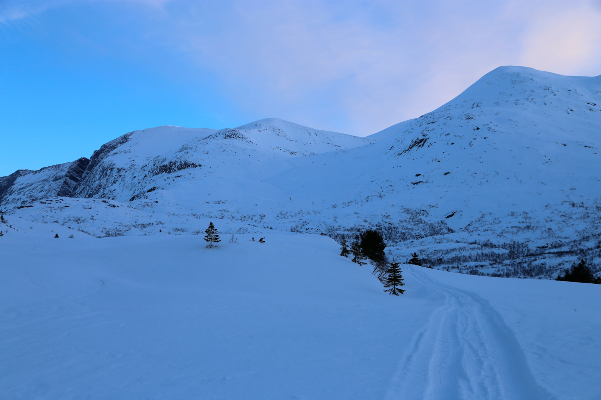
Follow the old road that starts near the end of the public road. It zig-zags uphill,
then through a section of forest before emerging at a shallow saddle to lake
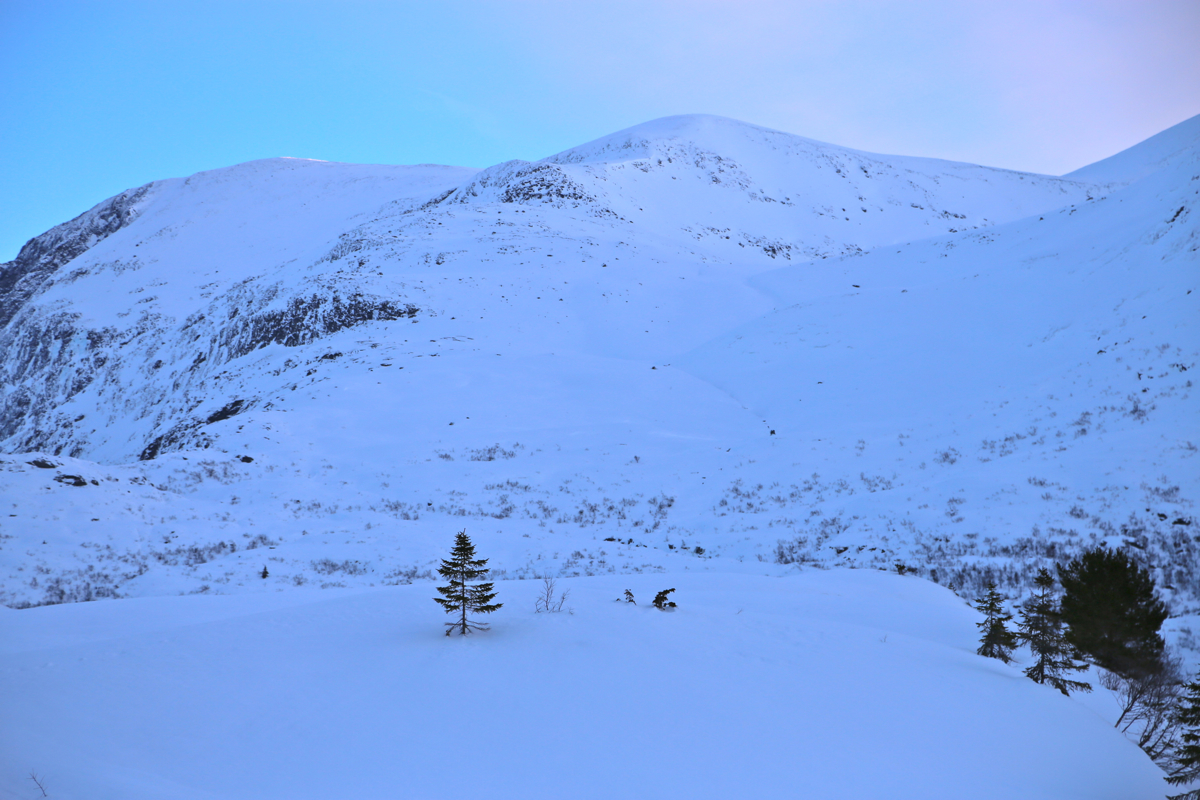
Ångelsvatnet at 540 meter. From here, one can see the route up towards
the high ridge. The immediate challenge is to pick a (ski-able!) route
through the lower birch-tree section, perhaps about 150 vertical meter. One may try to ski uphill
before crossing the creek Rinddøla, then traverse north when above most
cliffs. An alternative is to follow the old road, passing the cabins as well as crossing the small
creek that drains the valley above. Look for a feasible route uphill among birch, there are some
clearings higher up, the main challenge is to find a good route in the steepish, lower section.
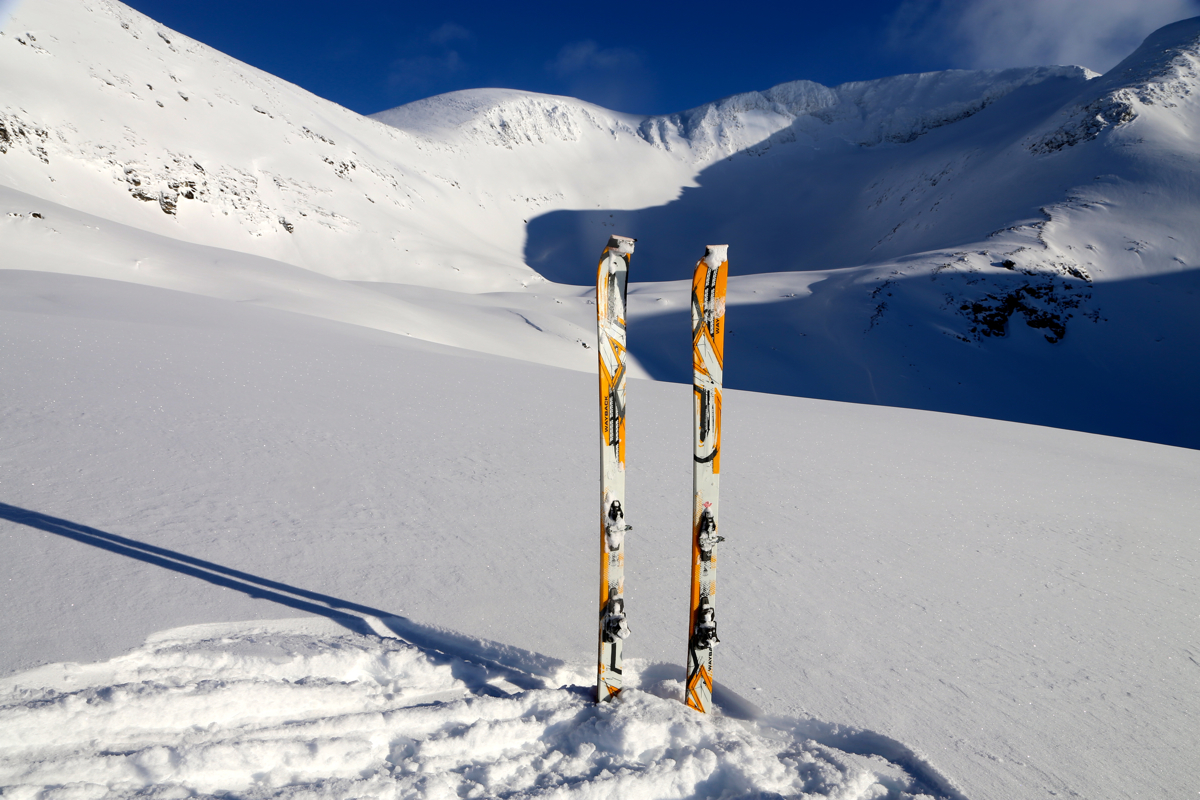
Ascend up the broad valley Vesledalen, follow the terrain, most likely best on the west (left) side of
the creek. This route will get you to the west side of lake 1212. From
here, the remaining route can be
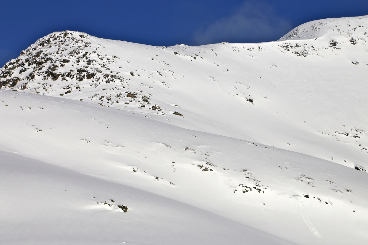
seen. One should ascend the ridge on the left (west side). There is a steep, but fairly smooth slope
that connects to elevation 1480 on this ridge, that is, just above a steep step above point 1376
on this ridge.
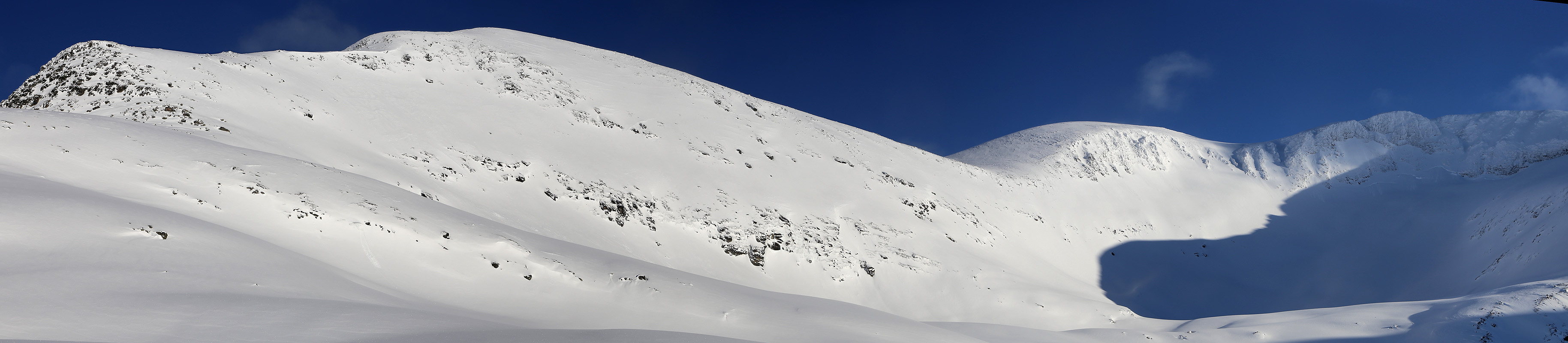
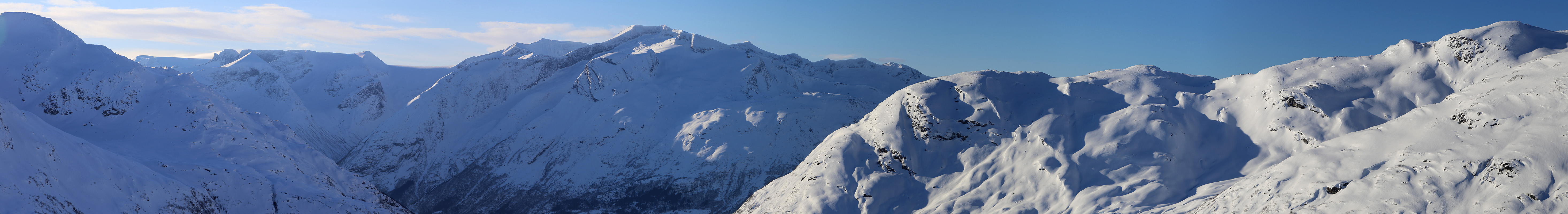
From here, follow the high ridge across the top 1620, then south of point 1778, before the final
ridge to the summit.
Comments:
February 2016:
I had taken my randonee skis along. The conditions yesterday seemed nice
for downhill with alpine skis. Still, I was quite undecided about my
choice of skis. This route has a vertical of 1650 meter, obviously I would ascend
faster on my mountain skis. However, if the snow would be as nice as yesterday up in the
Tafjord mountains, then going back down more than 1600 vertical meter on randonee would be fun.
As I found myself a quiet turnout to sleep, a car going towards Stryn stopped and asked if
I had trouble with my car. I told them that I would sleep, then go skiing tommorrow.
A bit later, the car returned and stopped again. It turned out to be Kim Rune Flo.
He told me that he had asked his wife to make up a bed and that I was most welcome to stay
with them. Very friendly and very surprising!
Thus, the evening turned into a nice visit with Elisabeth and Kim Rune. A couple of
Hansa beers did not make things worse.
After a great breakfast in the Flo house, I drove up to the end of the road. Starting out at 0800,
I skied quickly up the forest road to the lake Ångelsvatnet at 540 meter elevation.
The first rays of sunshine hit the summit across lake Oppstrynvatnet.
I continued
along the road to Øvre
Flosætra, then uphill about where the stream runs down.
This was not a good choice, I quickly ran into dense birch with cliffs and cumbersome terrain.
Gradually skiing more left (westward) got me into easier terrain with some open terrain and small
ridges that could be skied while gaining elevation.
I continued uphill, while staying left of the creek. The weather was gorgeous, but there was more
and deeper snow than expected. Very hard work to break trail with my big randonee skis. Time was
running and I needed short breaks more and more often. Finally up west of lake 1212, the time was
already 1200 - noon.
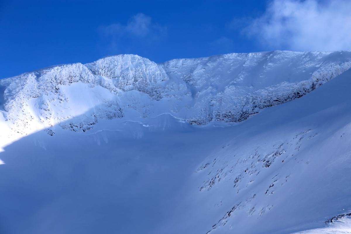
The remaining part of the route was now easy to see.
Up a steep slope to gain the ridge, then along the
ridge to the summit. It looked easy, but I did not get tricked into under-estimating what remained.
A full 600 meter of ascent.
A quick estimate told me that I would need at least 2 more
hours to the summit. Knowing that I also
had 5 hours of driving in order to get home, the decision to turn around here was easy. It was pretty
clear that I should have taken my mountaineering skis. As it was,
breaking trail uphill with
this much snow, was just to much work. I was tired and knew that my condition was
unlikely to improve.
I sat down and enjoyed
the great scenery as well
as nice sunshine. After 30 minutes, I started
skiing back down. Not too easy, the change between breaking crust and deep wind deposit snow
(fokk-snø) caused trouble. I still moved quickly downhill and decided to explore a line
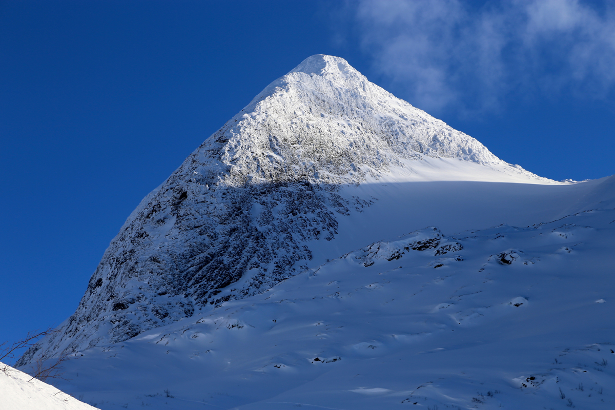
further south (left) in order to avoid the birch section. Skiing across towards the stream Rinddøla also
allowed me to admire the nice peak Rinddalshyrna,
possibly best left for summer?
Descending into the birch trees was not much better here, but after some
zig-zag skiing I was back down on the small farm road.
The skiing down to the Flo community was easy, finishing with some good turns on the snow covered
farmer's fields.
I was back at 1430.
May 29. 2017:
Once again, I took the liberty to enjoy the great hospitality of
Elisabeth and Kim Rune Flo. After saying goodbye, I drove up to Isak and parked in
the same location as last year. I was ready to start my hike at 0900. This time, I would
not run out time, in late April it is light until 2300 in this area.
