How to get there:
The best (shortest) approach is from the long mountain toll road (NOK 100 in 2023) called Einunndalen.
This road starts from Hwy. 29 connecting Hjerkinn (E-6) with Folldal. More precisely,
fork north (signed) from near location N62.19240, E9.76743.
Drive this road to somewhere near N62.26099, E009.84274, elevation about 1177m, where
you may park on the left side of the road.
Route description:
Head uphill east to the small col between point 1535 (south) and 1510 (north).
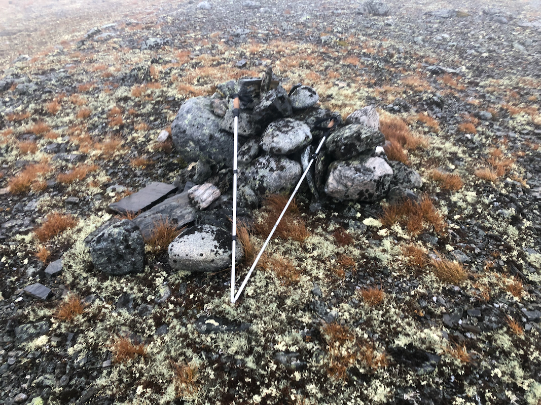
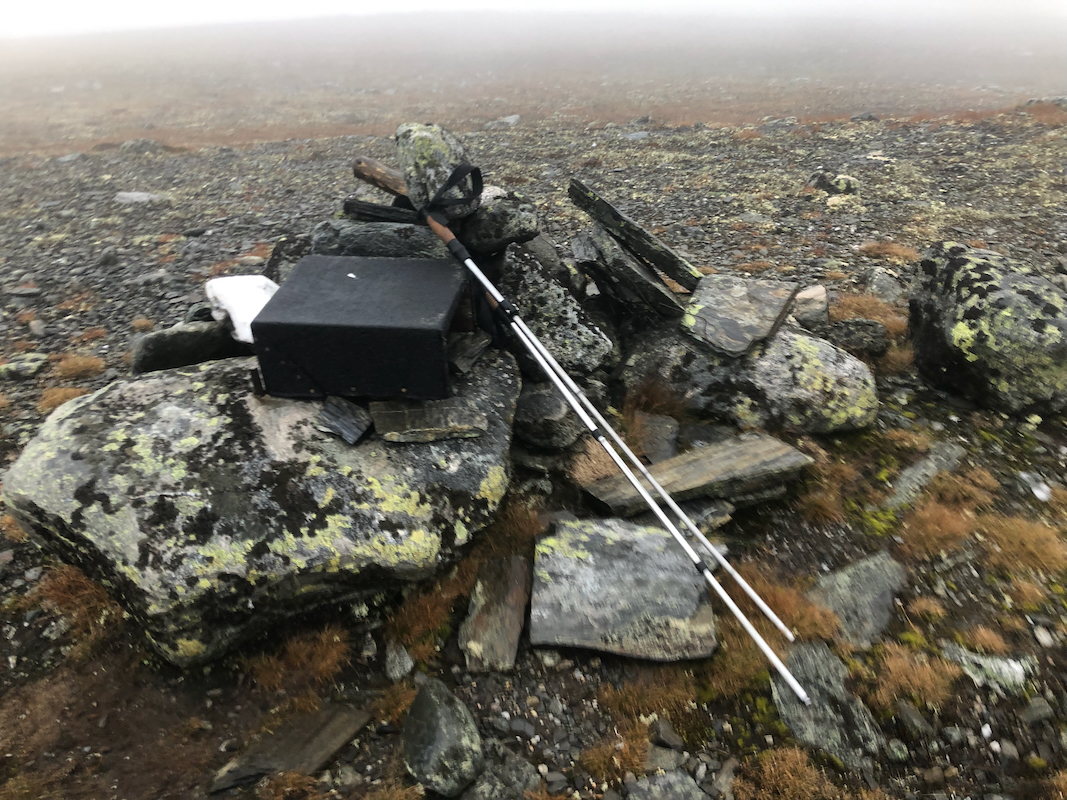
Ascend a bit more south of east to the summit plateau. There are 2 small
cairns (pile of rocks).
Comments:
The forecast was pretty bad and I had agreed to meet my friend Jostein (coming from Trondheim)
in the late afternoon. Looking for a short and easy hike, I decided to visit this mountain.
I left my car at 1215, then I went slightly too much right and ended up on the south-west ridge.
It was not just windy, but extremely strong wind, gusts well above 20 m/s. Fog and rain added
to the misery. I arrived at the summit by 1330, 5 minutes there and back down following a better
route - to the car at 1430.
