How to get there:
This mountain is located pretty close, on the east side of the autostrada E-45.
Get onto SS-653, then navigate (on smaller roads) south to find the trailhead
located near N40.05780, E15.89273, elevation near 950 meter. There should be parking here,
the road continues (rougher) uphill from here.
Route::
A quick summary of the peaks climbed in Italy 2022.
Continue up along the forest road. It will soon arrive at a (locked) gate. The trail,
well marked forks off uphill to your right. The trail is well marked and can be followed to
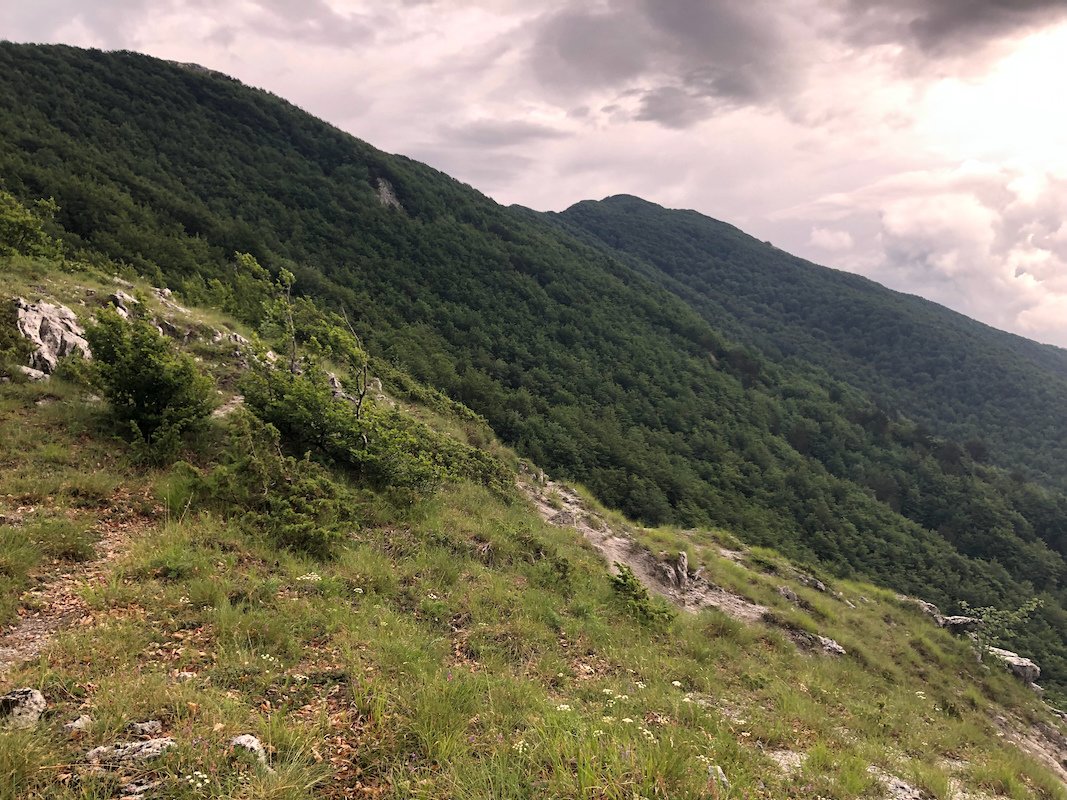
the summit. It will reach the main crest,
then follow the main ridge (slightly on the right side)
the remaining distance to the summit. Shortly before the summit, the trail breaks out of
the forest and crosses more open grass areas in order to reach the summit.
Comments:
I had climbed Monte Alpi in the morning, but had time to do
a second peak. However, it started to rain with thunder and lightning. I decided to explore 2 possible
trailheads for La Spina. I went to location N40.05275, E15.93637, this is certainly a possible place to
start. I then went back to the trailhead described above and started hiking around
1400. By this time the rain had stopped.
The trail was nice, but to my surprise it started to rain again. Soon, I also had
thunder and lightning. Good that Monte Alpi was climbed in the morning, much more
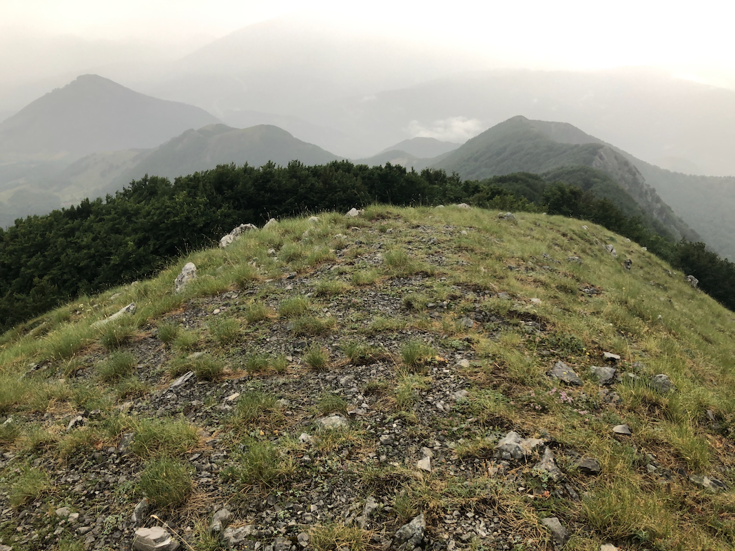
open and exposed there. Here, the trail ran among trees, much safer.
Only the very last part would be without trees.
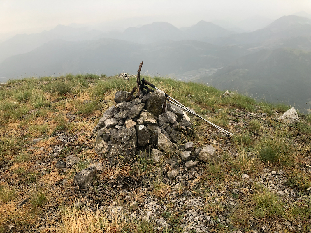
I checked carefully and decided
that it was safe to do a quick dash to the summit cairn.
It had taken me 1:20 to get here.
Returning back down in about one hour with rain and thunder persisting.
