Location: North 60.02606, East 006.95896 (GPS on the summit)
Difficulty: YDS class 2
Climbed September 21. 2019
Information:
How to get there:
Locate the small village of Røldal south in Hordaland. The Hwy. E-138
runs through town, this road is the southernmost (all year) highway crossing
between Western Norway and the east part of the country.
Drive east from Røldal, then fork left at a signed road for Valldalen.
Drive about 16 kilometer to an obvious parking area near the end of the big
lake Valldalsvatnet. Park here, at location N59.95189, E006.96675, elevation about 760 meter.
Route description:
Note that there is a self serve DNT hut located about one kilometer from this
trailhead. This hut is an excellent base for exploring this general area.
From the parking, walk towards the bridge, then go left before the bridge. You cross
one river, but not the second one. Follow the trail that stays on the right hand side of
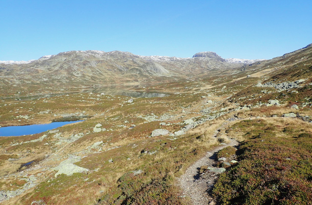
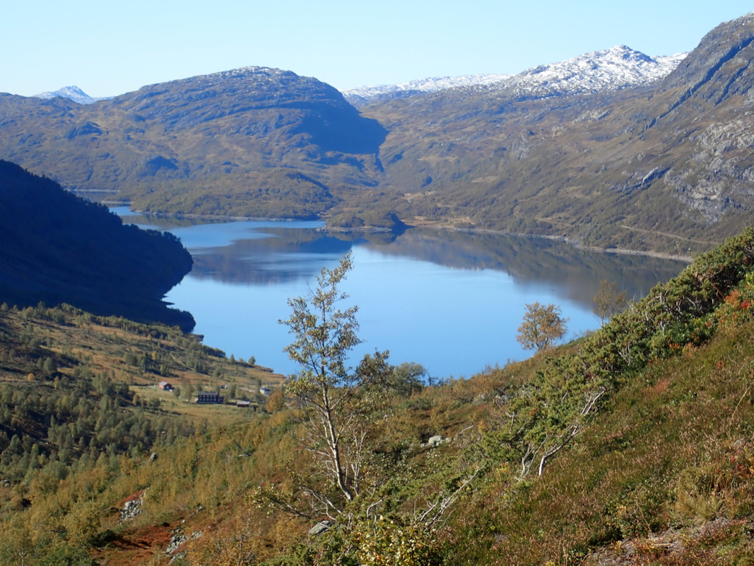
this river as you walk upstream into Vivassdalen where you continue on the east (right) side
of lake Vivassvatnet.
If coming from the DNT hut Middalsbu, then this trail merges with
your trail near a south-east part of this lake.
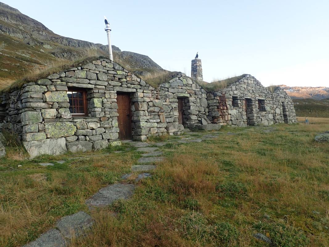
There are some very nice (restored) old huts here.
The river is big enough to pose some difficulty crossing and thus influences
the choice of route slightly. As you walk up the valley, you will notice the steep
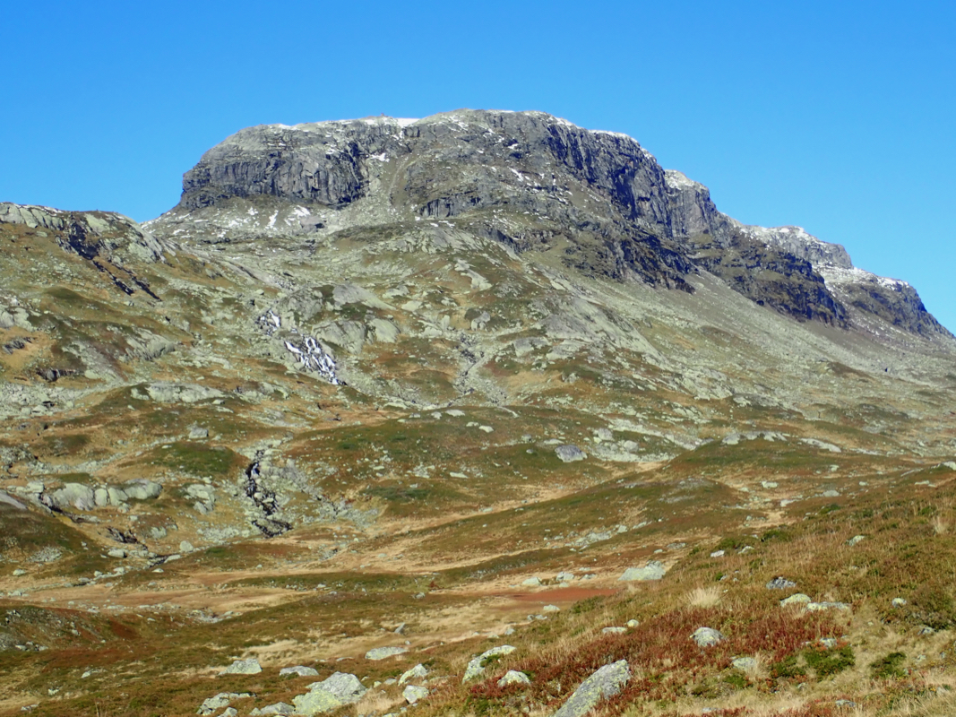
face of Solnuten (1494m) up front on the left (west) side of the valley.
The route will turn this mountain on the north
side. Continue on the big trail (signed for Litlos) at least until you cross
the river (making the nice waterfall Brokafossen) coming down from the right.
The main river is smaller above this point and may be crossed without getting wet
by carefully finding a good (at least reasonable) spot. Head north along the east side
of the steeper terrain, the terrain is easy to walk as you close in between point 1364 (left)
and Holmavassreet (1349m) more right.
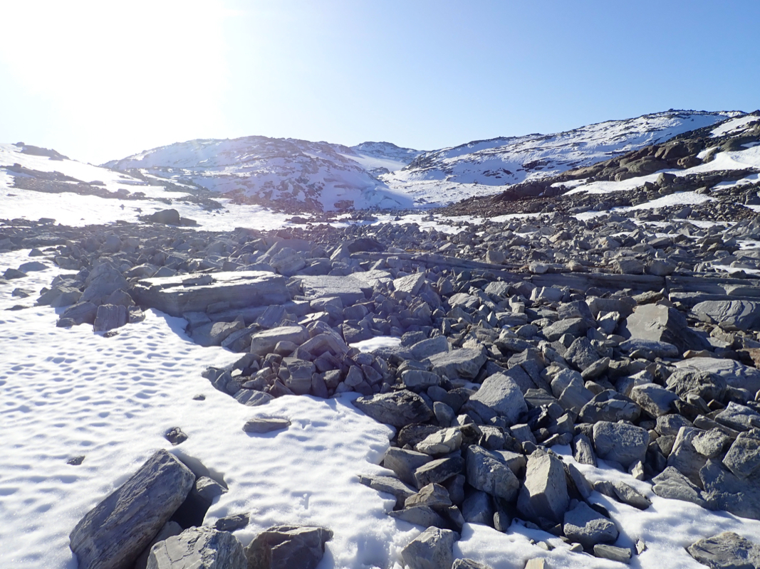
There is a permanent snow slope here that you should ascend, going west towards lake 1423.
As soon as the slope eases, turn more north-west and ascend into the col south-west of
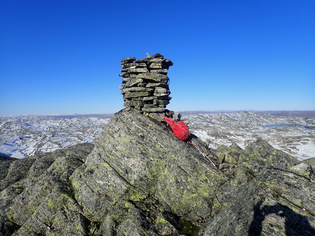
the 1572 summit. You will soon see the cairn on Solfonntaggen
quite some distance ahead.
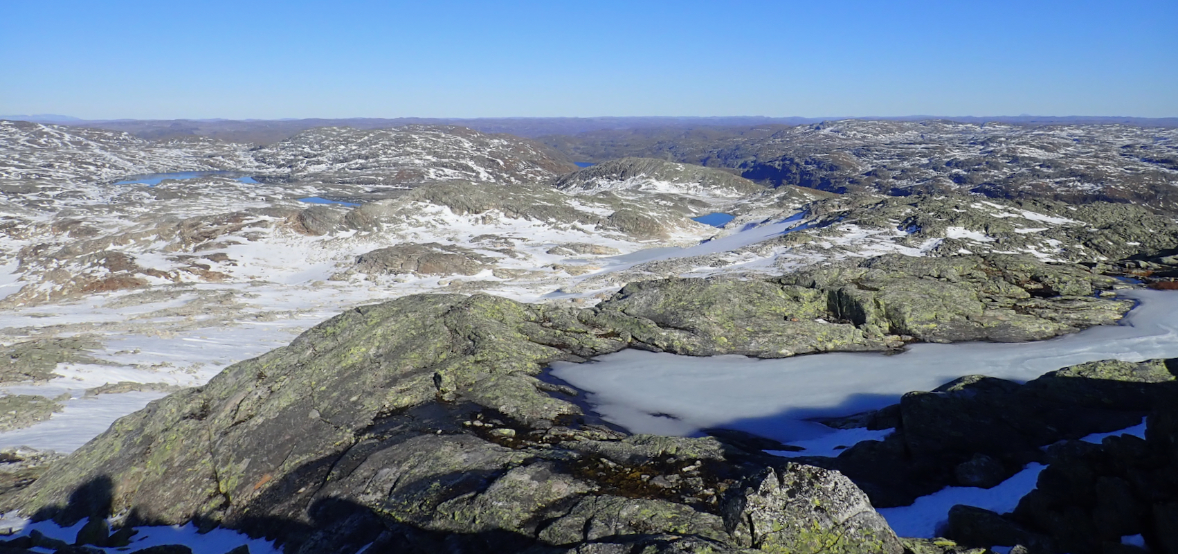
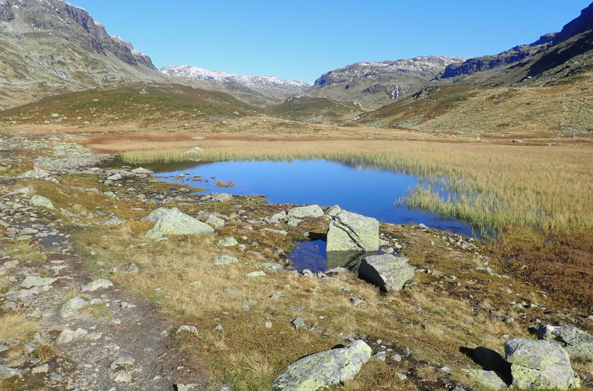
Continue just north of the small lake (slightly above 1500m).
The final section is now an ascending traverse on a part of the small (and shrinking) glacier
Solfonn. The summit,
with a nice cairn is then a short way ahead.
Comments:
After climbing Røldalssåto early morning,
I drove to the parking and then made the short hike to the DNT hut Middalsbu where I planned
to spend the night.
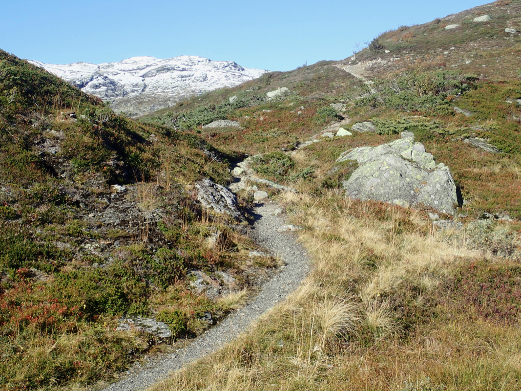
I left around 1145 and walked the nice trail that crosses
over the hill and into Vivassdalen.
From Vivassvatnet, I followed the trail north and initially considered a route going south of
Solnuten.
However, the river was going strong and prevented any easy crossing. I quickly decided
that I had to cross the river Brokafossen before trying to cross the main river. Thia plan
worked and I could walk on nice and easy terrain north until just beyond point 1364m, were I
turned left and ascended steeper snow. This route worked well as I continued up into the
col just south-west of point 1572m. I then walked south of the small lake. This was less than
optimal as the lake had an extension south that was longer than anticipated. I tried walking up
along the rough ridge, but soon realized that it was better to stay on the right hand side where
the small glacier still may be seen. I arrived at the summit at 1615, so 4.5 hours.
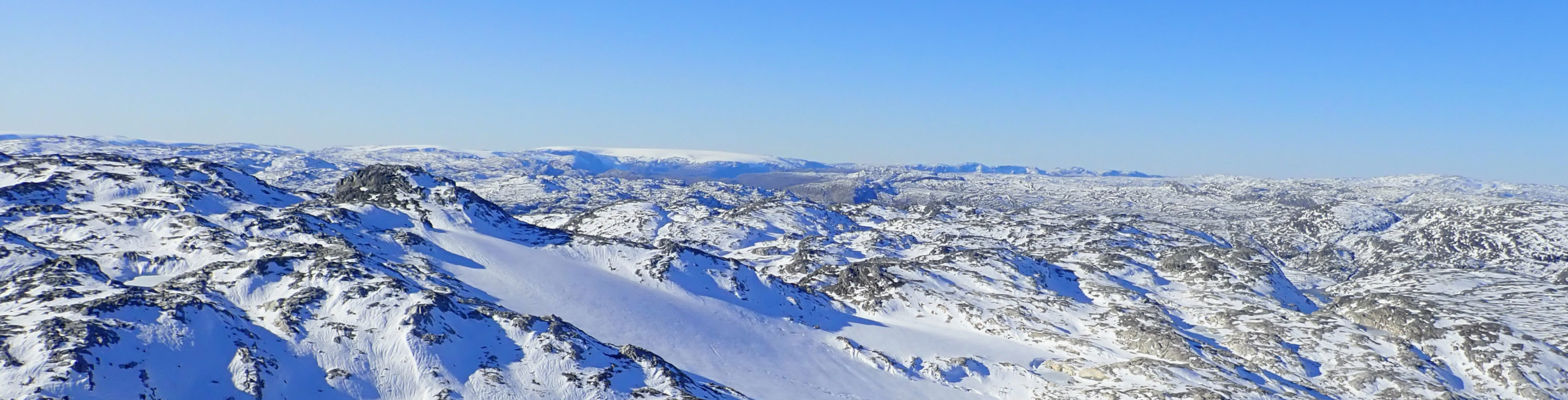
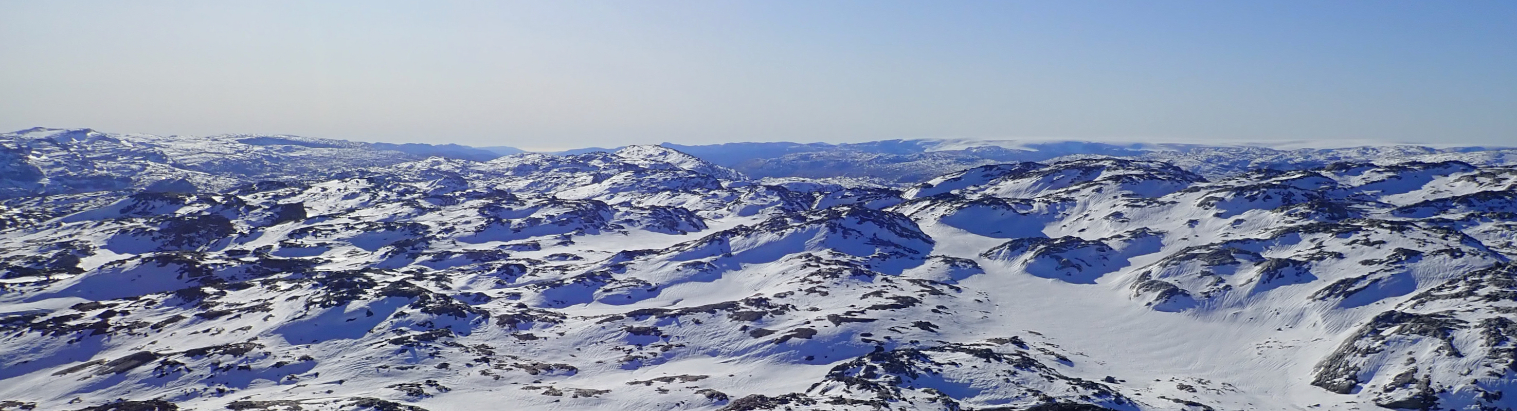
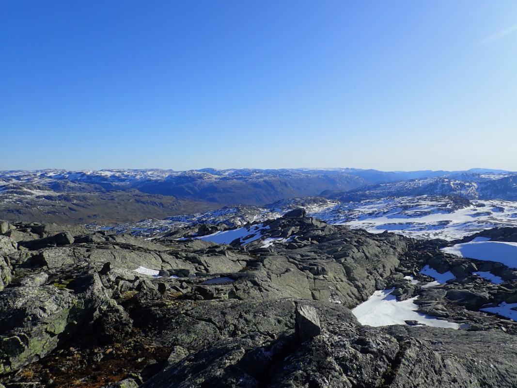
Near perfect weather and a very nice view in all directions. I could see Hårteigen, the Hardangerjøkul
glacier and the Folgefonnen glacier. Even Hallingskarvet could be seen in the distance.
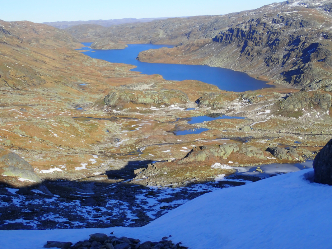
Leaving at 1630, I headed back hoping to return before dark.
It was clearly better to walk north of
the small lake and descend into Vivassdalen slightly closer
to Holmavatnet compared to my route of ascent.
Keeping a good pace, I arrived back at Middalsbu precisely at 2000, so 3.5 hours
on the return hike.
Resources:
Images
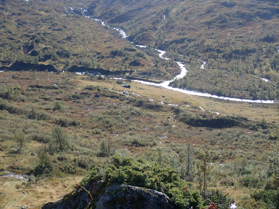
Middalsbu, as seen from the hill when crossing over to Vivassdalen.
