Location: North 62.65824, East 008.22086 (GPS on the summit)
Difficulty: YDS class 2
Climbed May 22. 2020
Information:
How to get there:
Locate the small village of Eresfjord on the Hwy. connecting
Åndalsnes with Sunndalsøra.
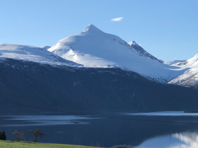
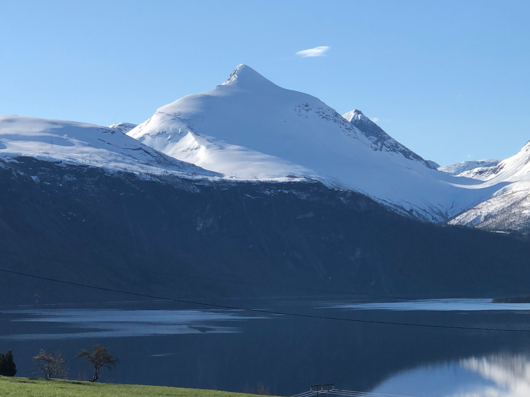
Skjorta is the dominating peak
directly west of Eresfjord. Leave the main Hwy. here and get onto the
main local road. Slightly more than 800 meter south of the exit from the
main Hwy., turn left onto a smaller road that runs east, climbing into
Kanndalen valley. Drive this road until it is blocked by snow and find
parking that does not block essential activities. The road continues as
a toll road from location N62.67953, E008.15987, elevation about
275 meter. We parked off the road just before the toll section since
one could ski on the road from this point.
Route description:
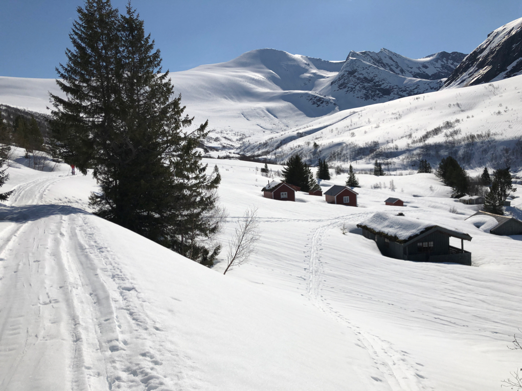
Continue up the road all the way to the first
summer farms, named Storstølen
on the map. Descend to the river here, there is a permanent bridge at location
N62.68356, E008.20471, elevation about 450 meter. From here, the route climbs south or
slightly west of south in order to gain the main north to north-west ridge of Skjorta in
an area where the terrain is not very steep. As soon as the ridge has been gained, the
route of ascent now follows this ridge or terrain slightly on the west side of the crest,
that is on the right hand side while ascending. The terrain gets somewhat steeper when
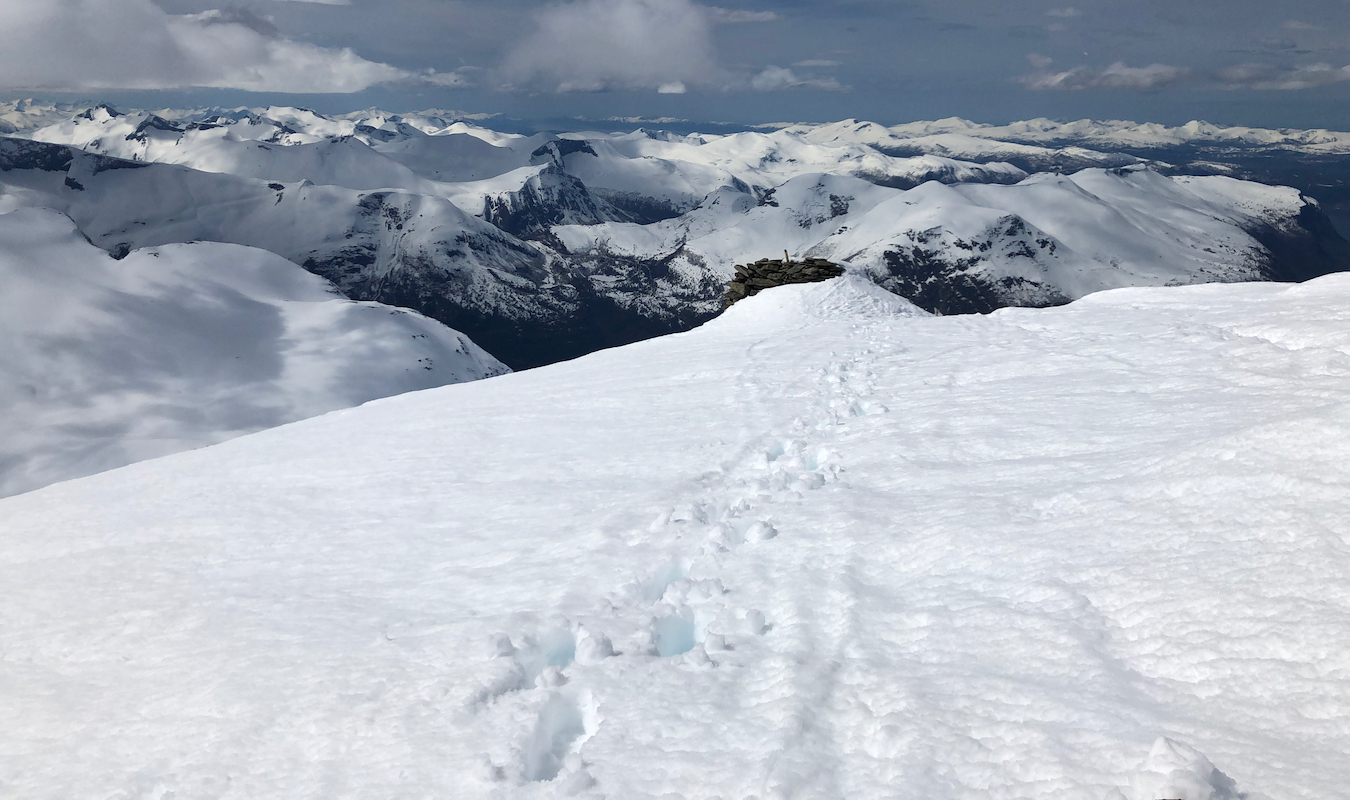
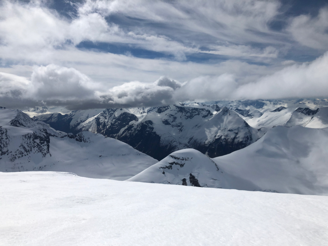
ascending the last 100 vertical meter before the summit. There is a large cairn on the
top, visible from the village below. Thus, the highest point is slightly further on the
pretty flat summit plateau.
In winter, there are dangerous cornices facing north and east,
stay away from this area.
Comments:
I did this trip with my friend Eric. We drove from our base in Sunndalen and
were ready to ski up the farm road at 0900. The ascent is significant and we
felt yesterdays ascent of Dronningkrona. The wind increased as we got higher and
the gusts turned strong enough to make sharp (180 degree) turns while ascending
a bit uncomfortable. Thus, we left our skis about 100 (vertical) meter below the
summit and walked up on foot. This final slope also had many rocks making skiing
less enjoyable in any case. I reached the summit somewhat ahead of Eric, it was, however,
quite good to sit next to the big cairn providing shelter for the wind. We both
carefully explored the summit plateau, quite a bit higher than the cairn, possibly
just a very thick layer of snow. We started back down at 1415. The snow was wet
and less than perfect for skiing, making many successive turns took more effort than we could
mobilize, briefs stops after 5-6 turns were needed. The slope, more west than our line
of ascent is quite big and has a good angle.
We were back at the car around 1600.