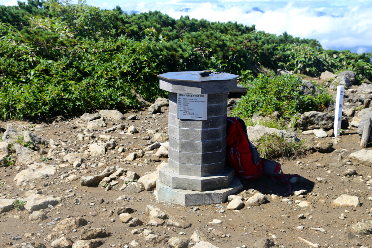
Location: North 37.15015, East 139.96143 (GPS at the summit)
Difficulty: YDS class 1,
Climbed August 16. 2016.
Information:
How to get there:
Locaate the Tohoku Express Way runing north from Tokyo, about 65 kilometer
inland, near the Shinkhansen railroad line. Exit left (north) in Nasushiobara onto
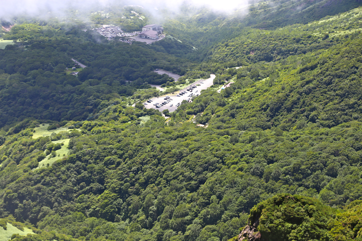
Hwy. 17. Follow signs for Mount Nasu and drive uphill to the end of the road where you
find a large (free) parking area.
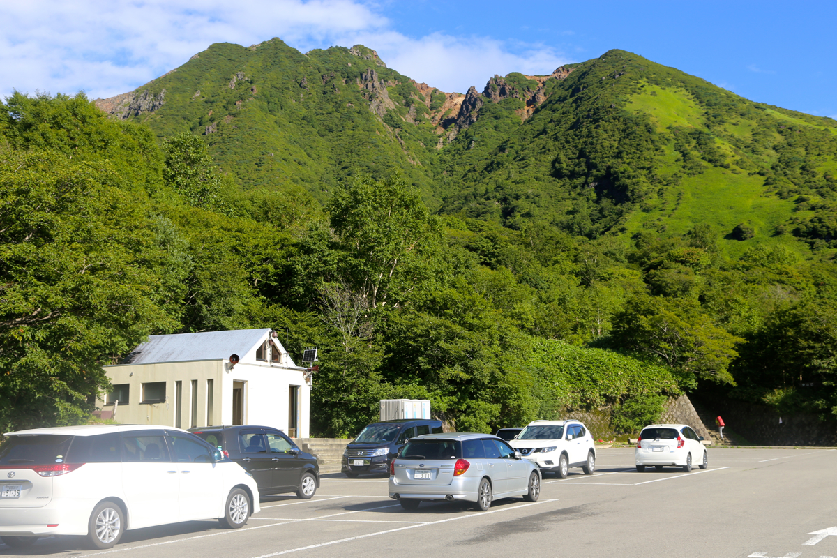
Park here, this is the trailhead, location
N37.12843, E139.97557, elevation about 1465 meter.
Route description:
The trail starts to the right hand side of the parking area when facing uphill.
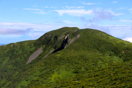
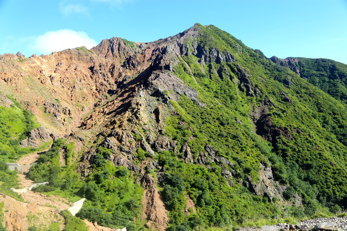
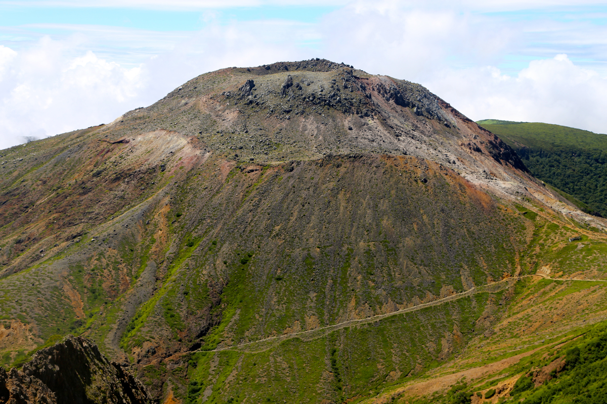
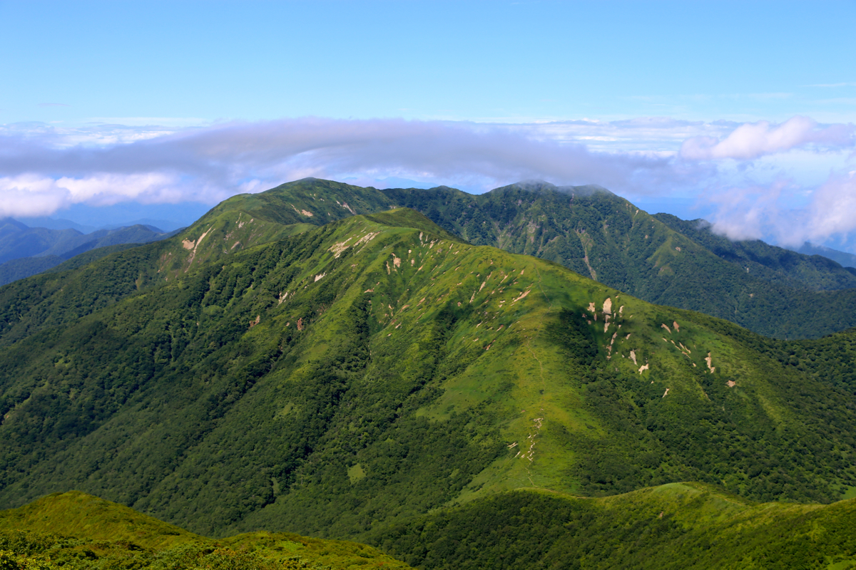
Follow the nicely made trail as it gently climbs into the valley having Nasu (1915) up
on your left and the interesting looking Asahi (1896)
up on the right hand side.
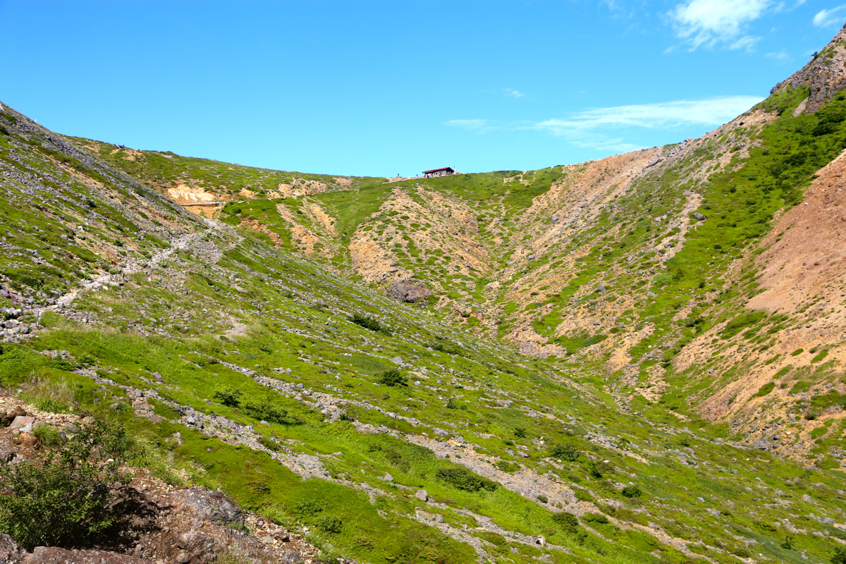
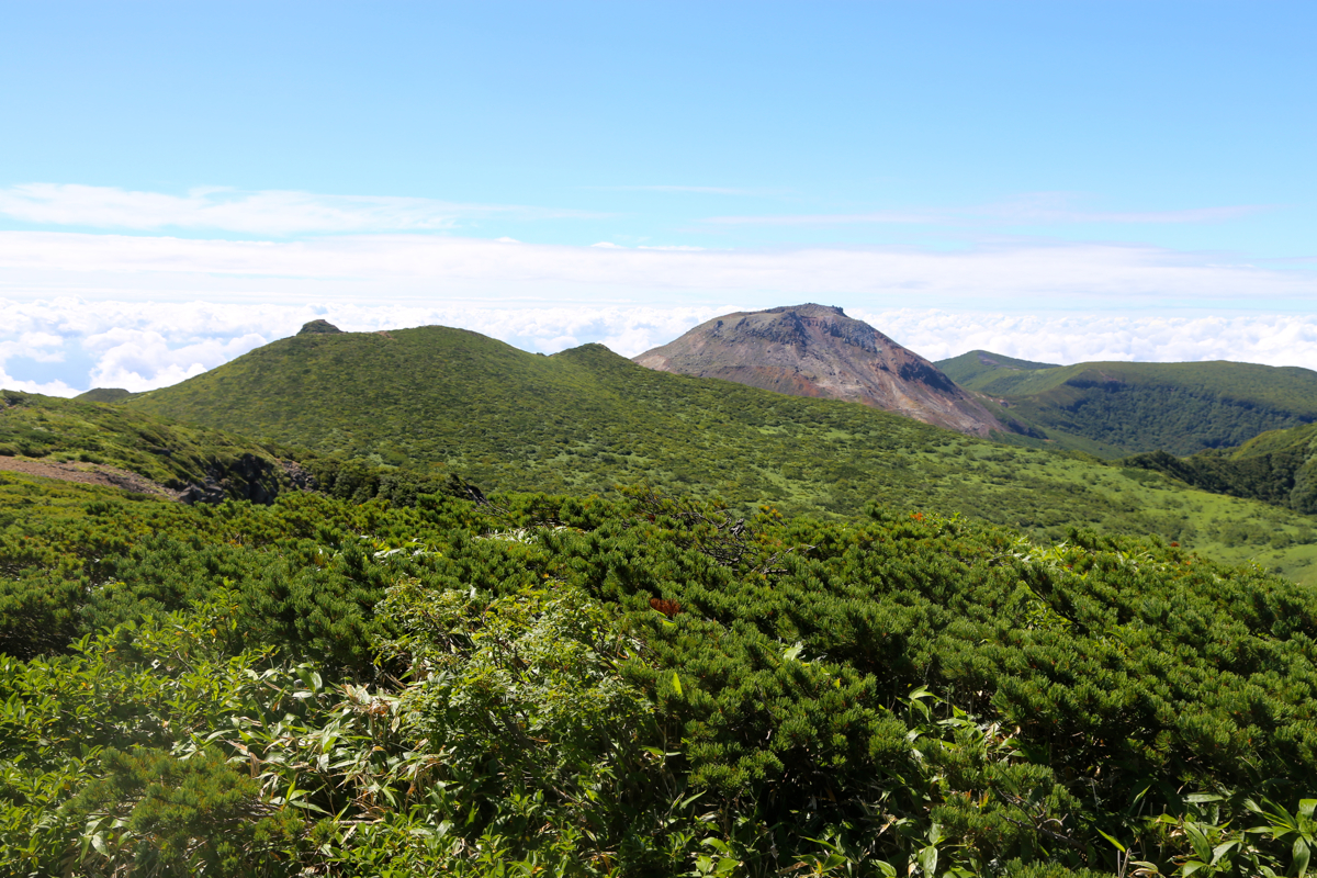
You will soon reach a broad col with a
small hut, location N37.13065, E139.96219, elevation
1725 meter. One may ascend Nasu by
turning left here.
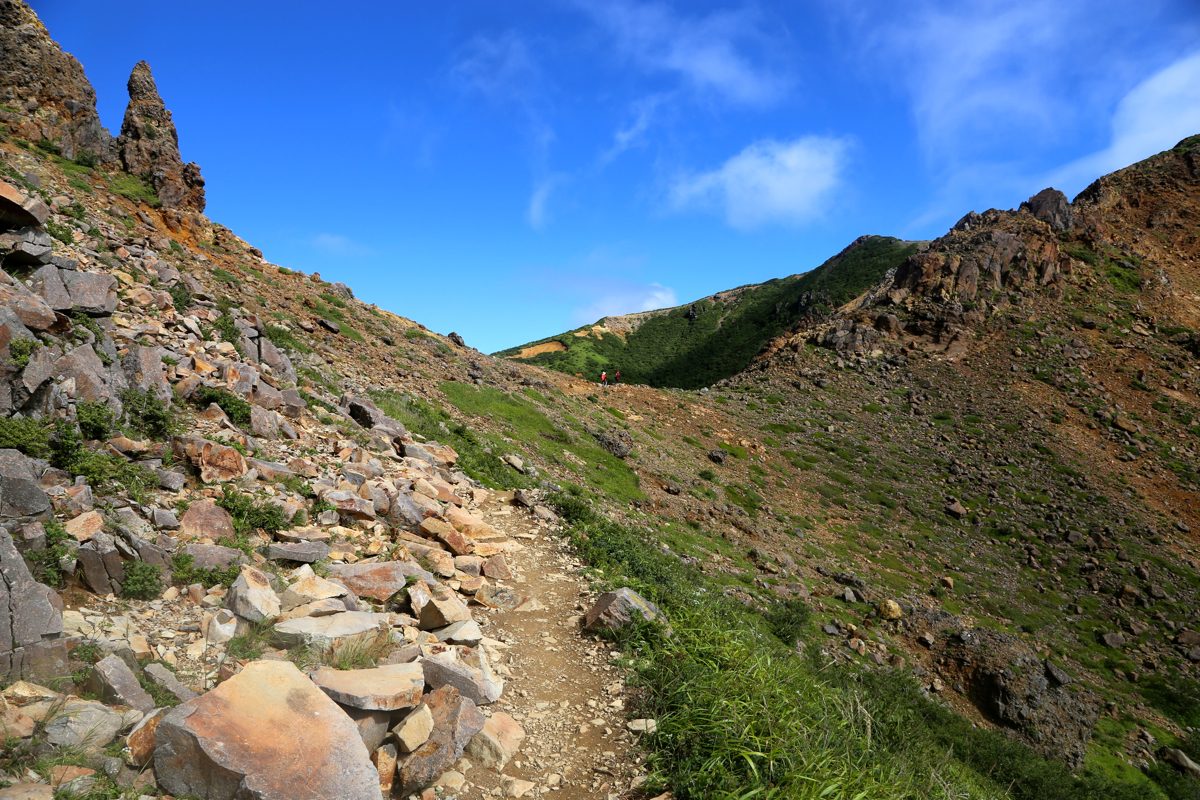
Turn right here and follow the clear trail as it
contours around the first bump on the right,
then traverses a bit left and climbs, a bit more steeply, to the col at the base of
Asahi. This pointed peak (elevation 1896) with
a very nice view, is a short side-trip to your right.
Continue across a small hump, then ascend the larger top that just reaches 1900 meter of elevation.
You will now have a very good view of Sanbonyari.
There is a trail-fork with a trail going left, ignore this. From the 1900 summit, descend about
85 vertical meter to a meadow, the trail runs on a boardwalk here. Ascend slightly uphill (on the wrong
hill) to a new trail-fork where you should go left, descending to a local col before the final
ascent to a pretty flat, but nice summit area. Comments:
After completing our trip to the Japanese ultra prominent mountains, we had several
"reserve days" before our flight back to Norway. We decided to stay three days in the
city of Mito, north of Tokyo and do some sightseeing as well as a possible extra climb.
While Pål Jørgen stayed behind in Mito, Geir Åge and I drove up north-west
to climb this prominent peak as well as visiting the nearby Mount Nasu (also called Chausu), that
is featured on the list called "100 famous Japanese mountains".
We left Mito shortly after 0600 and were parked at the trailhead before 0800. The information
sign told that the hike to Sanbonyari would take a bit more than 3 hours.
We left at 0800, made the first col in 30 minutes and enjoyed the good weather and the nice trail
across to Sanbonyari, arriving there at 0930. A few people were already there, we had also seen
some hikers along the trail, but overall, this trail had fewer people than the last
couple of peaks we had visited. We rested until 0940, walked back the same way, but included
a short side-trip to the 1896 meter summit of Mount Asahi. From this summit, one can look
directly back down to the trailhead.
From the col with the small hut, we then started a
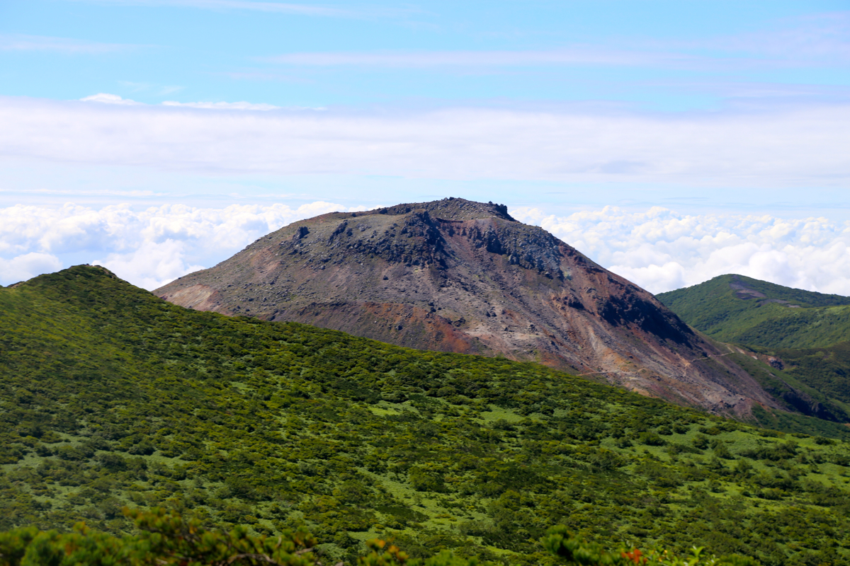
short and pleasant ascent of Mount Nasu.
We were on this summit at 1110, another 1:30 since leaving Sanbonyari. This summit was quite
a bit more crowded, people may take a rope-way gondola more than half-way up the mountain, then
ascend the final stretch.
This mountain smells sulphur, in fact the gas is leaking out far down on the oppsite slope.
The last eruption was as recent as in 1963. Leaving at 1130, we walked around the small crater,
then descended back down to the col and onwards down the valley to the trailhead, arriving there
at 1215.
This was the last hike of our Japan mountain trip 2016. Wednesday is designated sightseeing and
preparation for departure on Thursday morning. Thanks are due to Pål and Åke for
very good company!
Here is a quick summary of peaks climbed in my trip to Japan.