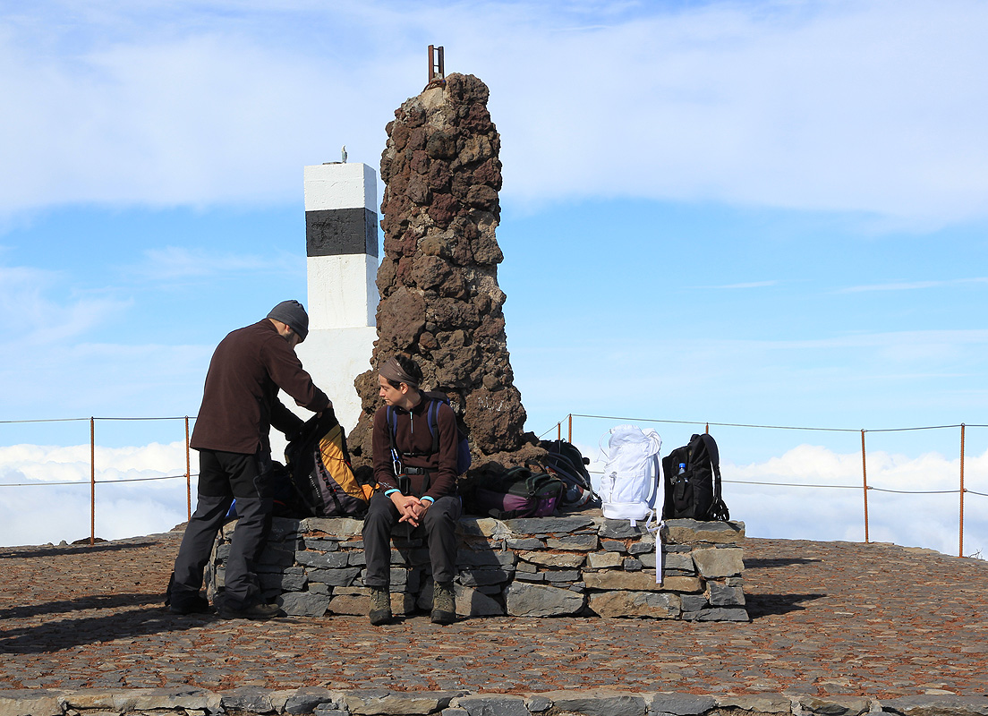
Pico Ruivo
- Pico Ruivo
- 1862 m
- Primary factor 1862 m
- Location: North 32:45.530, West 016:56.556 (GPS at the summit)
- Madeira, Portugal
- Difficulty: YDS class 1
- Climbed: December 11 and December 13, 2011.
Pico Ruivo
|
|
Here is an overview of peaks climbed on Madeira.
How to get there:
The road that serves the closest trailhead, originates in the village of Santana.
In order to get there from Funchal, the fastest route is to drive the freeway back
to the airport, then follow signs for Santana. Close to Santana, you will first enter
a pretty long tunnel, then two smaller ones right thereafter. Drive uphill and slightly
left from this exit. If you pass a theme park on your right hand side, then you are
on the right track. Your goal is to locate an intersection with signs (going right)
saying Pico das Pedras as well as a sign saying Pico Ruivo, 1861 meter. These signs
are at location N32:48.131, W016:52.764, elevation about 465 meter.
Follow this road uphill, there is a sign higher up saying Pico das Pedras (but not Ruivo),
this is still the correct way. If you want to do a minimum of 600 vertical meter gain, then
park on the right hand side
in a sharp left curve. This location is N32:46.139, W016:54.671,
elevation about 1250 meter.
Otherwise, continue to drive until the road ends in a large parking area called Achada do Teixeira.
This location is N32:45.897, W016:55.263, elevation about 1580 meter.
Route description:
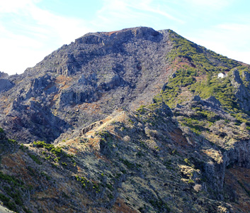
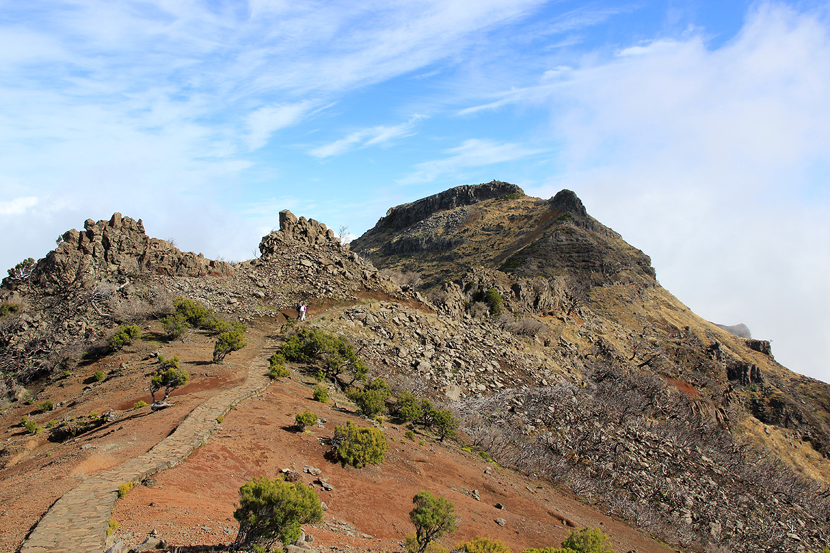
While hiking the road, you see some mountains off to your
right, this is not Pico Ruivo, but rather
terrain that you will cross in order to climb the mountain.
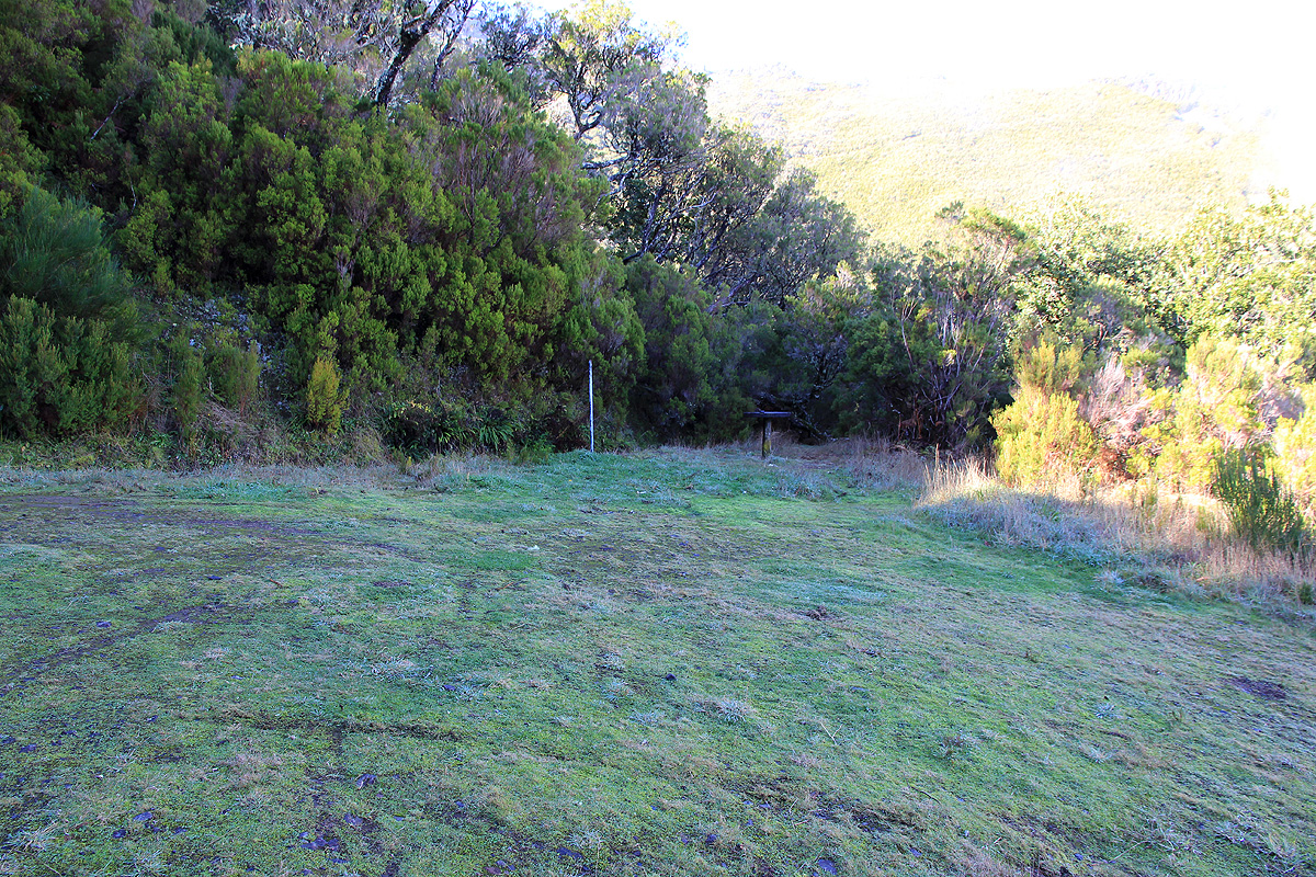
From the parking area, a well
signed trail starts up the first gentle hill. This trail has been
improved by carefully placed (flat) rocks all kept in place by mortar.
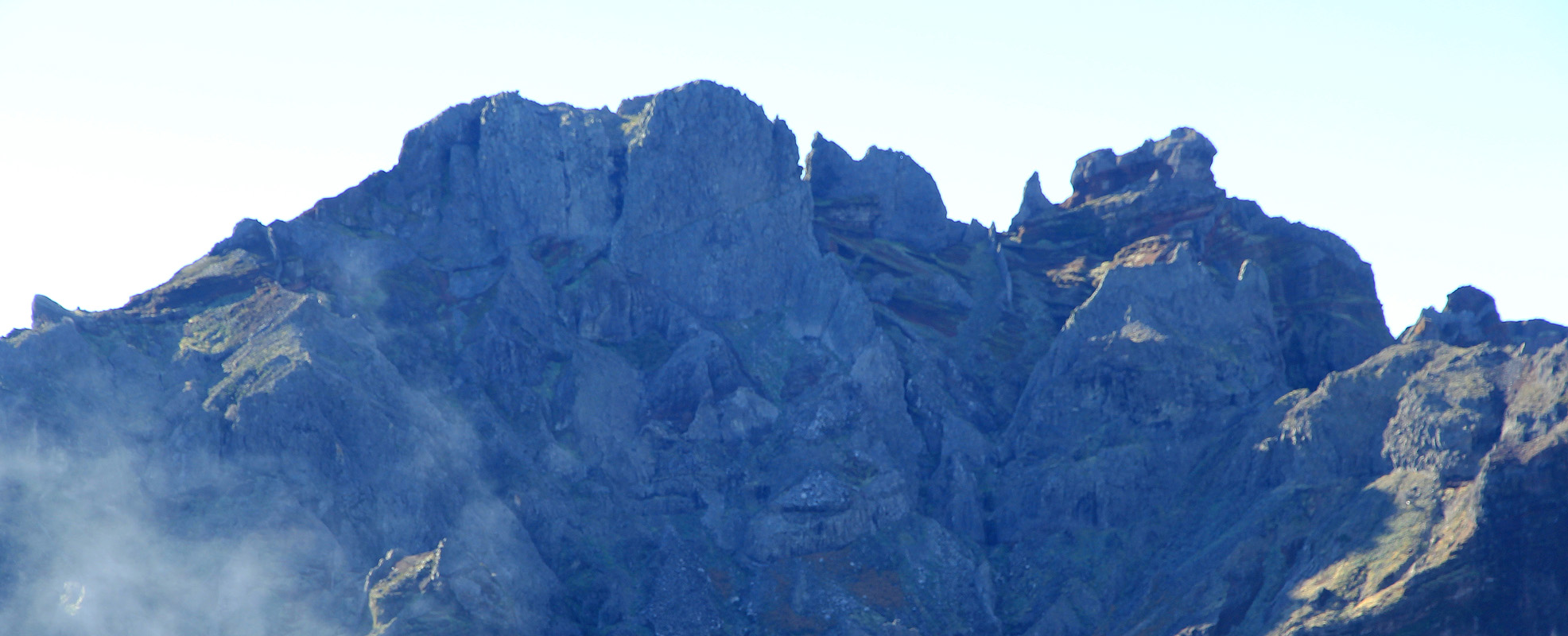
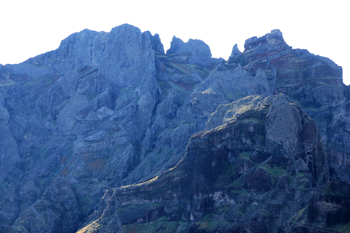
As soon as you reach the main ridge, the view (left) west displays very rugged terrain.
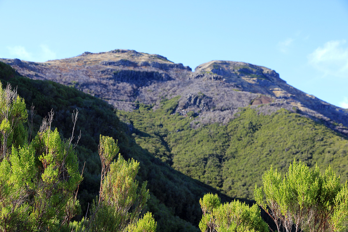
The trail climbs the first
hill, then traverses on the right (north) of peak 1789 before
crossing its saddle (looking back) and ascending to
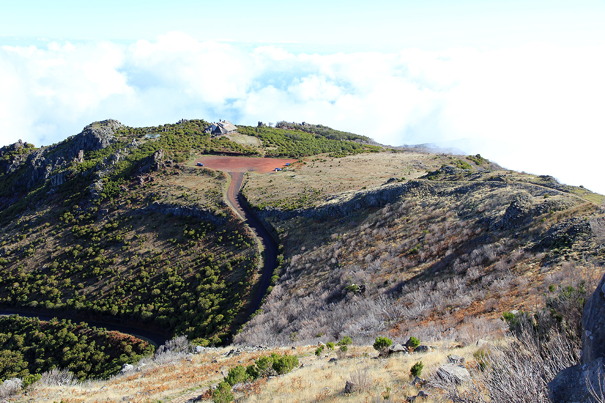
the local mountain hut.
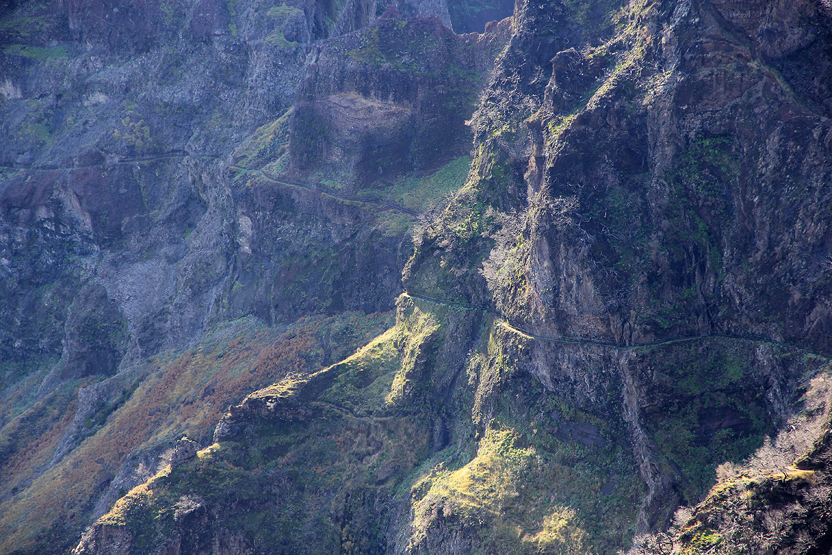
Just before this hut, the more famous trail from Pico Arieiro merges in from
the left side. For a description of this route, see Pico Cidrao.
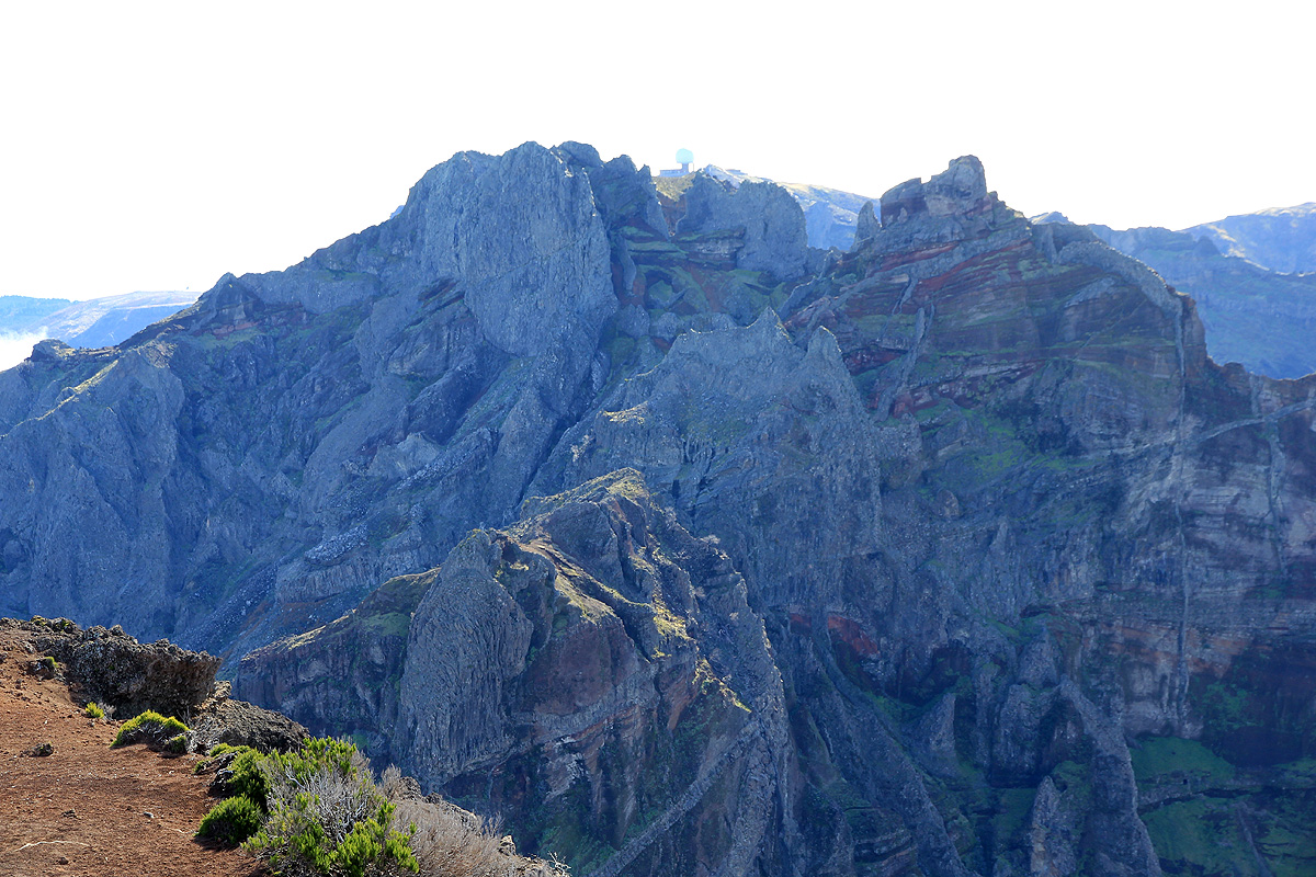
The view of the very steep Torres captures your attention.
From the hut, the trail first reaches a junction where the longer route to the col Encumeada continues straight.
Turn sharply left here and complete the short climb to the summit.
Comments:
I decided to honor my 600 meter vertical gain criteria, thus parked at elevation 1250 meter.
I left at
1100 and reached the official trailhead (big parking area) at 1130. From here, it took me another 45 minutes
of leisurely walking to reach the top at 1215.
There were several German tourists also making the hike. From here,
the view was nice directly across to the
radar station at Pico Arieiro.
Descending, I bumped into a couple from Haugesund at the mountain hut. I continued back down to
my car, arriving there at 1330. Two days later, I repeated this climb with my wife Heidi, but then
along the much more famous route from Arieiro, see Pico Cidrao. for a description
of this interesting route.