Location: North 59.93200, East 006.80000 (GPS on the summit)
Difficulty: YDS class 2
Climbed April 18. 2020
Information:
How to get there:
From Odda at the south end of Sørfjorden, drive south towards
Hwy. E-134 and Røldal. Shortly after the Låtefossen (waterfall) on your
left, the Hwy. turns sharply right at a place called Skarsmoen. Leave the hwy. here
and continue straight ahead. Follow the road signed for Reinsnos (14 km). The road
soon makes a sharp left and climbs. you pass lake Lotevatnet and then climb a bit more
before arriving at lake Reinsnosvatnet. There is a parking here and the paved road ends.
Continue along the lake on a good dirt road, pass the south end of lake Ljosavatnet, then
shortly, find a parking area on your right, near a road fork. This parking cost money,
NOK 60 for 24 hours in 2020. You need to pay using Easypark (mobile phone app). The
location is N59.96996, E006.72147, elevation about 660 meter.
Route description:
From the parking, head uphill on the right hand side of the road and follow the trail
that traverses (slight ascent) east into the valley, but staying high. Further onwards
there is a small loss of elevation
as you enter the pretty flat basin at about 700 meter
of elevation. As soon as the terrain naturally permits, the route climbs the hillside
on your left (away from the river). Continue ascending into and up a wide gully (birch trees)
to reach more level ground just below 800 meter of elevation. The trail crosses the river
on a bridge here. In winter, it may be equally easy to continue the short distance to
lake Svartavatnet and cross just above (around) where the river starts.
From lake Svartavatnet, ski uphill next
to the (old?) cabin located near this lake. When the
terrain levels above, head left and cross the creek, then ascend the broad ridge on moderate
slopes towards point 1233m. Turn more left (south-east) here and continue the ascent more
or less directly towards the steeper upper slope of Reinsnosi. Keep left at the final, more
gentle slope and aim for what looks like a small col on the left side of the summit. Contour
around here directly below steep terrain, beware of possible cornices above you. This traverse
may be awkward if the snow is hard and icy. An alternative (not checked out) on the west side
may then be easier. Once the short traverse is completed, you are on a very gentle slope
(facing east), proceed to the summit located near the south side of the summit plateau.
Comments:
The forecast was excellent. I spent the morning doing some shopping with my wife, then left
Bergen on Friday afternoon. My goal was to arrive at the trailhead, sleep in the car, then
have an early start. This worked out well, I located the nice parking area, then had some
slight trouble when trying to pay for the parking. I needed to download an APP, then establish
credit etc. Finally, all done, I then slept early.
Early wake up to a beautiful day. The temperature showed minus 8C, cold enough that the
slopes turned out to be quite icy. I decided on my randonnee skis, thinking that this
mountain would offer a long, continuous run back down.
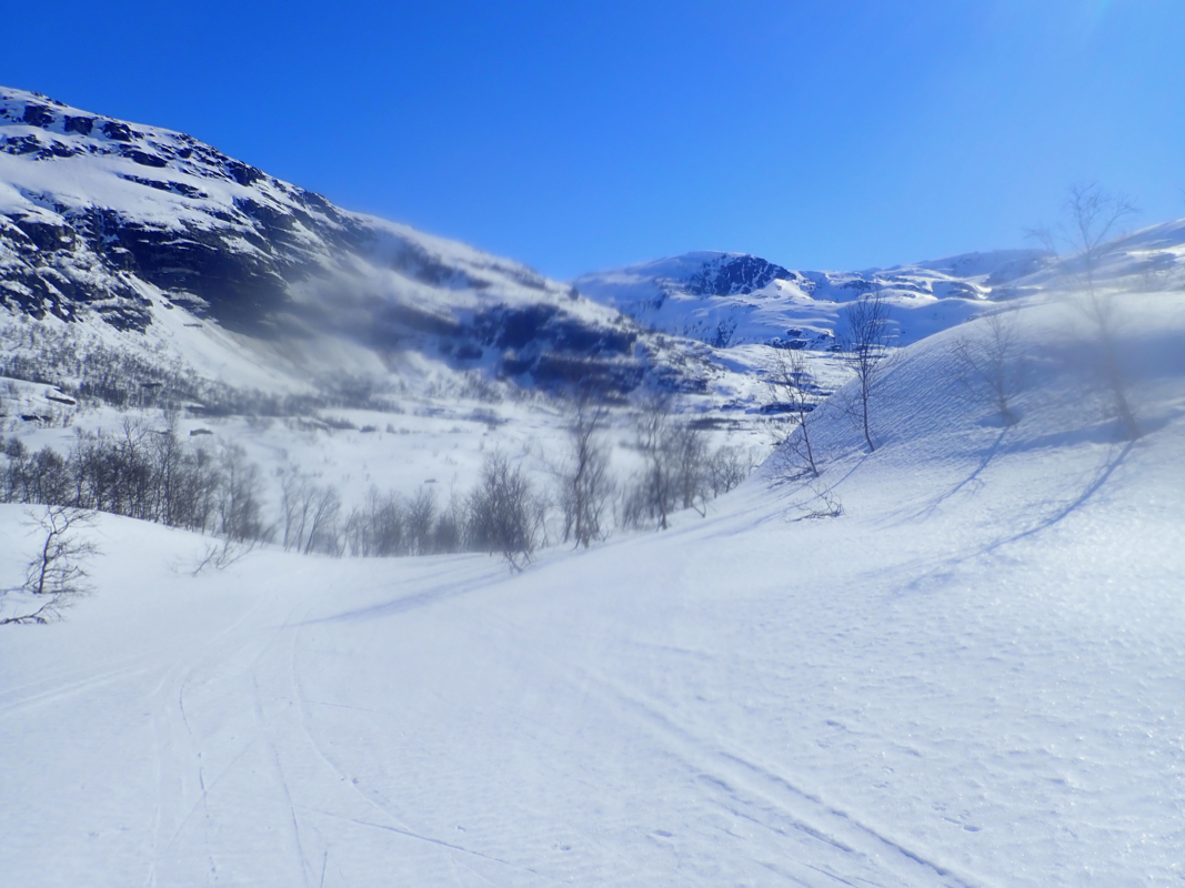
I was on my way already at 0600. It was easy skiing up to lake Svartavatnet. The area next
to the river was open, but a nice arc around was pretty safe. I skied uphill closer
to the creek, realized that it would have been better to ascend closer to the hut and
decided to keep that in mind when descending. I continued uphill, happy that it was not
any steeper since the icy surface could have caused problems if only slightly steeper.
Progress was good as I approached the final, steep slope facing me. It seemed correct
to try going around on one of the sides. I picked left and skied uphill to what looked
like a small col. It turned out to be a dead end snow hole caused by drifting snow, however,
this could easily be passed on the right hand side. I was now in interesting
terrain. Above on my right, a steepish cliff with a snow cornice high on top. Straight ahead,
a sort of down-sloping ramp that could be skied, but then to what? One could loose a lot
of elevation by descending, not appealing and also a bit on the steep side. Straight ahead,
one could try a traverse to a new ridge line. It looked very tempting and I started across,
going slightly uphill. How would things look beyond the ridge line? Yes!, very good indeed,
this led me directly onto a large and gentle snow slope leading uphill to the summit
plateau. I was soon at the summit cairn, the time was 0920, not bad. The weather was near
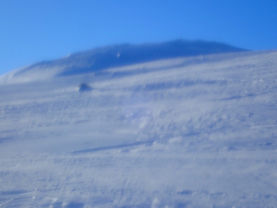
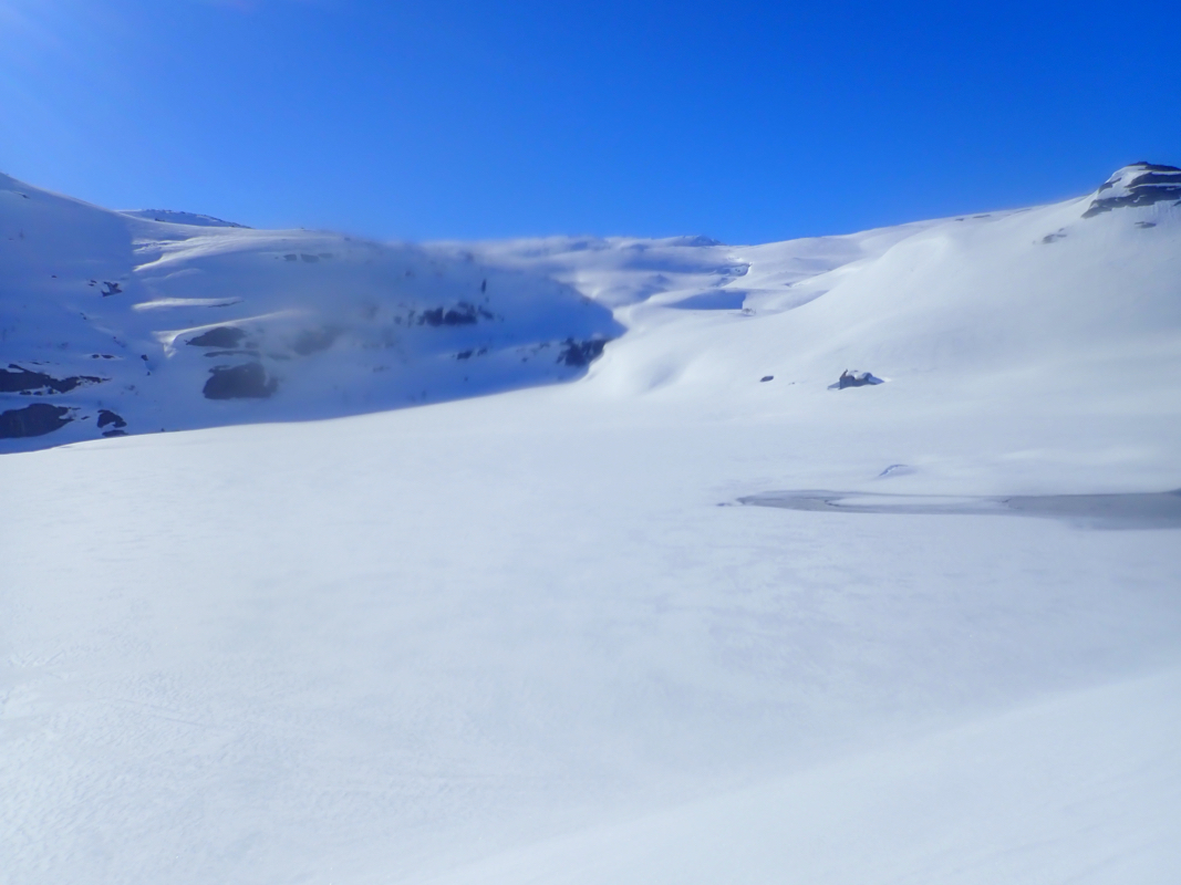
perfect and the scenery likewise. Unfortunately, my camera had a some issues with
condensation and no good pictures resulted. I still had a good rest before
leaving at 0950. I now had perfect skies for going down on slopes that were still a bit
icy. Mountain skis would have been more uncomfortable.
The return traverse took a bit of time, but then a nice cruise back down to Svartavatnet.
After some slow uphills on the way back to the farms, before a final short downhill to reach the
parking at 1050.
Two cars arrived, they were planning to ski the same mountain. I gave them some tip on
the route, then decided to explore a second ski ascent, this time on the opposite
side of the valley.