Location: North 38.19618, East 021.87061 (GPS at the summit).
Difficulty: YDS class 1.
Climbed October 8. 2021.
Information:
How to get there:
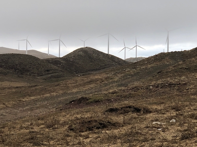
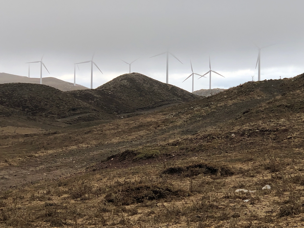
This mountain is north on Peloponnes, just south of the
city Patras. The mountain has been "invaded" by wind turbines, they
dominate the visual impression. The construction of the wind farm
also means that there is a pretty good road almost to the summit.
This road starts at location N38.2644, E21.9007. You may exit the toll road
(that runs along the NE coast) in Kamares.
The mountain road is ok for ordinary cars, the drive may take about 40 minutes.
Just before the last few wind turbines, the road forks and the (not so good)
old road running parallel on the right, continues to the stone hut. You need
a high clearance vehicle here. Thus, a perfectly fine trail head would be at the
end of the (nicer) road serving the wind turbines.
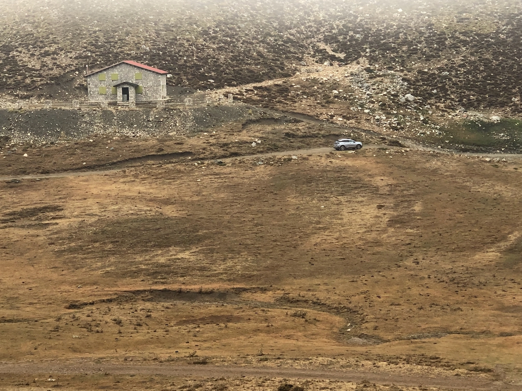
If your car can manage a bit rougher road, then continue to the stone hut, this
location is N38.20230, E021.86402, elevation about 1740 meter.
Route description:
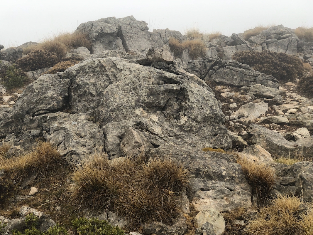
From the hut, descend slightly then ascend on the opposite side, traverse right when
convenient. You should see some red trail marks (paint) on rocks. Follow the terrain
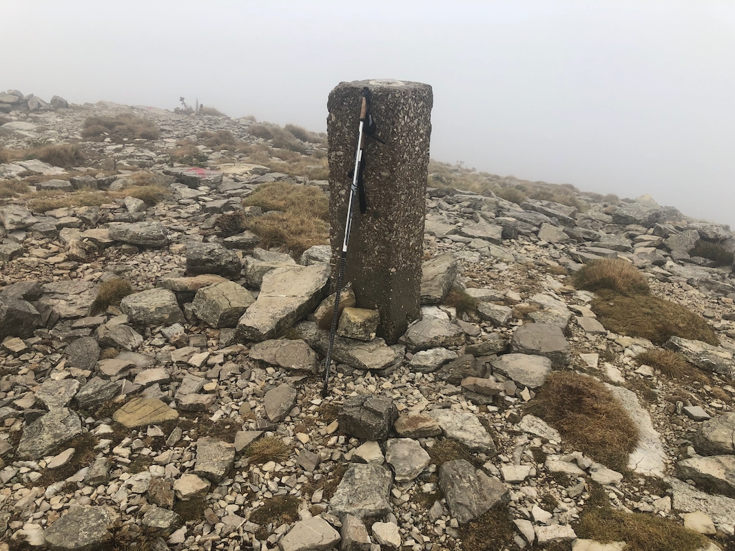
(or the red marks) to the highest point located on a small, local ridge. There is
a concrete summit marker, slightly misplaced since
you will find the highest point among
rocks approximately 50 meter north of this concrete marker.
Comments:
The weather was mixed, no rain, but considerable fog.
I parked my car next to the hut and started my ascent at 0830.
Arriving at the summit after 20 minutes, I visited the true
highest point, then returned after about 5 minutes. The return
took 15 minutes, altogether a 40 minute excursion.