Location: South 41.87070, East 146.03293 (GPS at the summit)
Difficulty: YDS class 4
Climbed January 16. 2015.
Information:
How to get there:
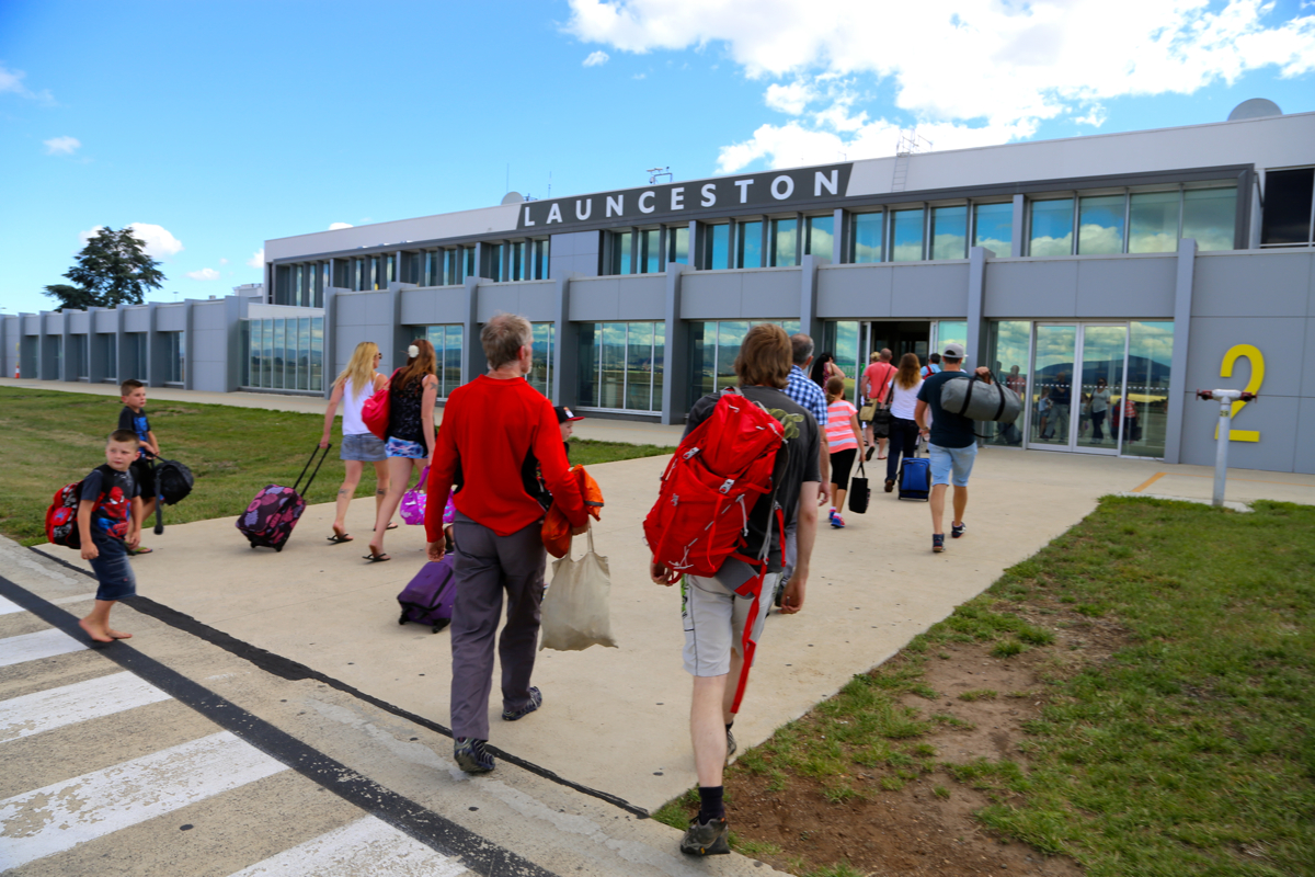
One may fly to Hobart or Launceston in Tasmania, the most convenient
is Launceston. The airport is south of
the city. Take Hwy. 1 north towards
Launceston, then note that the route forks west before you get to Launceston, also
Hwy. 1, signed for Devonport.
Fork left at Deloraine, and get on Hwy. 812, Mole Creek.
The road turns south towards Rowallan Lake. Just after it crosses a
creek and becomes gravel, turn right onto Maggs road.
There will be a sign saying Arms river road,
but the forest roads make
a loop here. When we visited, this road was closed and a sign advised to take
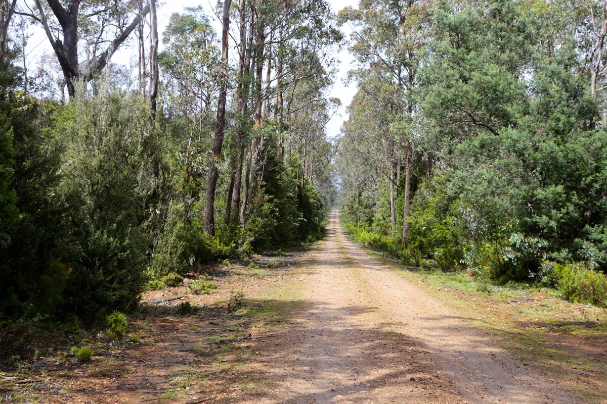
the left branch. This works just fine and ends in a rather small trailhead
with some parking available between dense patches of vegetation. This location
is S41.79077, E146.15549, elevation about 750 meter.
This is a quick summary and reference to climbs made on this trip.
Route description:
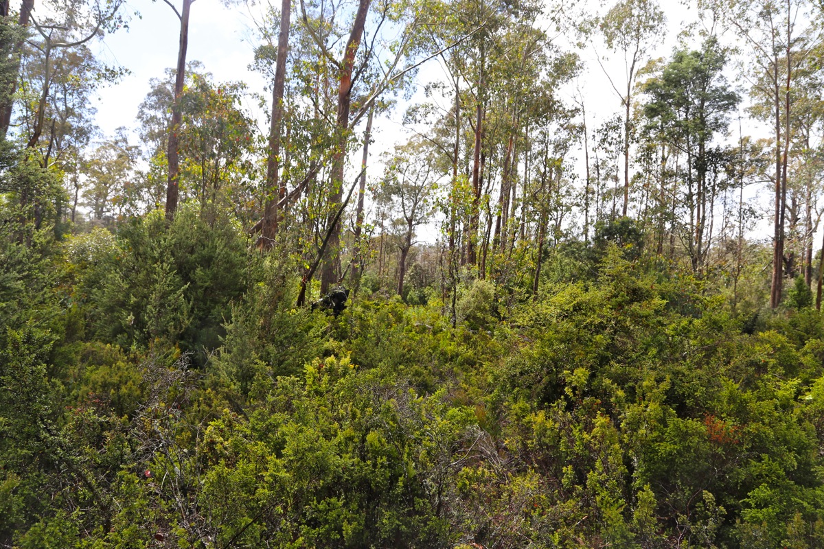
The trail is fairly obvious, it starts out rather flat, partially in a creek, then
continues in fairly wet terrain until the base of the hill. Next, follows a pretty steep
ascent, still the trail is quite ok, but rough in spots. Higher up, the slope eases and
meadows are crossed on boardwalks.
The trail crosses several streams, all on good bridges.
The last part of the hike to the New Pelion hut is more flat and with a lot of boardwalks.
Just before the hut, a rather long suspension bridge is crossed. The hut is pretty large, but
also very busy. The people doing the Overland Trek all tend to stay a night here.
The hut location is S41.82941, E146.04616, elevation about 950 meter.
From the New Pelion hut, the (overland) trail continues
to Pelion Gap, location S41.86404, E146.05804, elevation about 1130 meter.
From here, the trail to Ossa forks right. The trail is still easy to
follow, it climbs to a new plateau, then traverses more left and arrives
at the base of Mount Ossa.
The next section is steeper, then enters a steepish, distinct gully. Following the
markers, the route turns right half way up, going straight here is (YDS) class 3,
one arrives on top near the same location. From here, there is a short descent before
the trail again climbs a pretty gentle slope to the summit plateau. The plateau is
covered by huge boulders and care is needed to traverse across in order to arrive
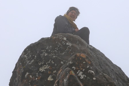
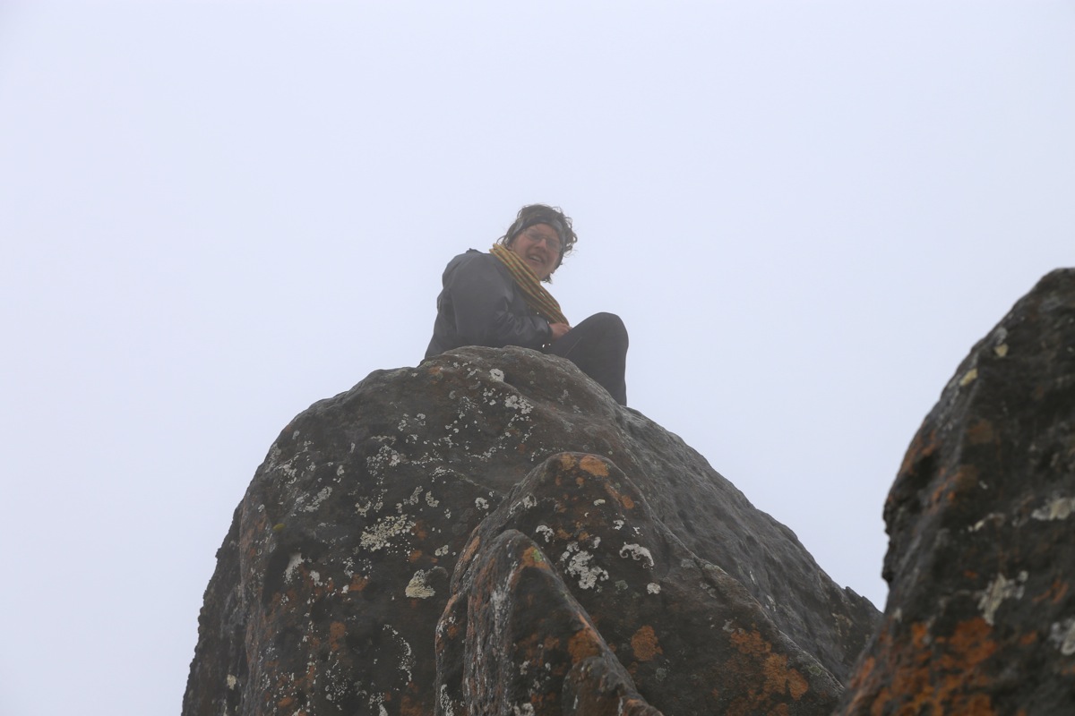
at the base of the highest point. The summit block itself is about 7 meter tall
and climbing is required. The (short) route starts at the right hand side. One first
gains the lower part of the ridge by way of a (if wet slippery) crack. This is the crux.
Higher up, there is exposure, but the top ridge is relatively easy to follow. Most
people will benefit from using a rope to safeguard this climb.
Comments:
This trip to climb Mount Ossa on Tasmania, was scheduled as a brief
stop on our way from New Zealand to Chile. We had scheduled 3 days, but
this included travel from New Zealand as well as a return flight to
Sydney in Australia. Trouble with this plan became clear as the immigration
to Australia (we flew via Sydney), turned out to be horribly slow.
It is almost impossible to understand that a country like Australia deliberately
let their visitors (that will provide important tourist income) have a truely unfriendly
welcome. The contrast with Europe is incredible! In any case, after hours in a queue that
moved at snails pace, we lost our connection to Tasmania. The next flight was about
5 hours later, with an arrival time in Tasmania after closing hours of a few important
stores/offices.
We needed propane/buthane gas for our stove, as this cannot be carried on a flight. I did
succeed to buy this from Paddy Pallins by credit card with the added service that they would
hide this cannister outside their store at a prearranged spot. All this by phone from Sydney!
Thanks to the people at the store in Launceston, for good and creative service! Another
issue was the need to secure a Holiday Pass for the national park, required in order to park
our car. This could be done on the National Park web-site, the license plate of our rental
car (unknown until we got the car), was needed as input. This pass cost AUS dollar 60.
Everything got sorted out, but obviously, we were up for a very late start. There was still some
light when we started walking at 2100. We got up the steepish hill and a bit further along before
a torch was needed. The boardwalks were certainly helpful in the dark and we arrived at the
New Pelion hut at midnight - not bad.
We slept outside on the veranda and Pål Jørgen soon had a meeting with the
local Tasmanian Devil looking for food around his backpack and sleeping bag. I heard his
rather unfriendly response and the "Devil" immediately jumped on top of my sleeping bag.
I kicked inside my bag without seeing a thing, and the "Devil" decided that this was more
than he could easily cope with. Most likely, he had not met Norwegians in the past..
The next morning, we cooked breakfast inside the hut, then set off at 0730.
We reached Pelion gap, the weather was not good, fog and rain with some gusty wind.
The conditions quickly got worse as we ascended higher. I did not notice the trail
markers in the gully and we scrambled up the steeper left side, then realized that
we were off-route when descending back to the main track. We were at the base of the summit block
at 1000. Pål Jørgen climbed to the very tip-top in almost no time, then secured
a rope for Rob and me to follow. Limited real estate dictated that Rob would climb first, then I
could visit the top after he descended. Pål did a great
job sitting on the very top
with blazing wind and cold fog. I climbed up having some difficulties in the lower part as the
crack was very slippery and provided little help. Higher up, things were easier, but more exposed.
We left at 1050, the hike back down was easy and uneventful until I suddenly slipped and fell
backwards. This was on a pretty easy and flat part of the trail, some unexpected mud was the most
likely cause. Unfortunately, something snapped near my left ancle and I had a real injury, somehow
after a pretty stupid, but very innocent looking incident.
I limped back to the trailfork where a decision was called for. We decided that the best option
would be to get back to the New Pelion hut, stay there until the next day, then start the
hike back out very early the following day.
A long rest and some anti-inflammatory drugs made wonders. The ancle was still somewhat painful,
but with an early start at 0630, we hiked back out
to the trailhead in 4 hours, better than expected!
Lots of time to drive back to the
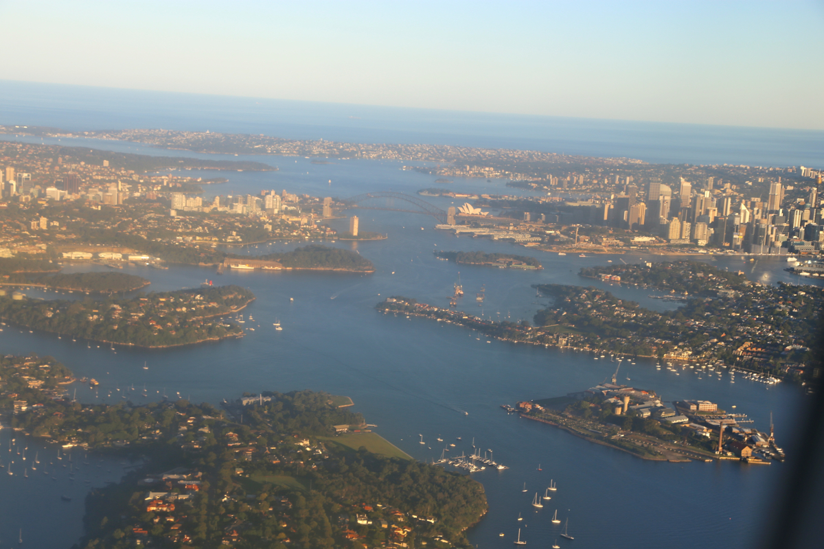
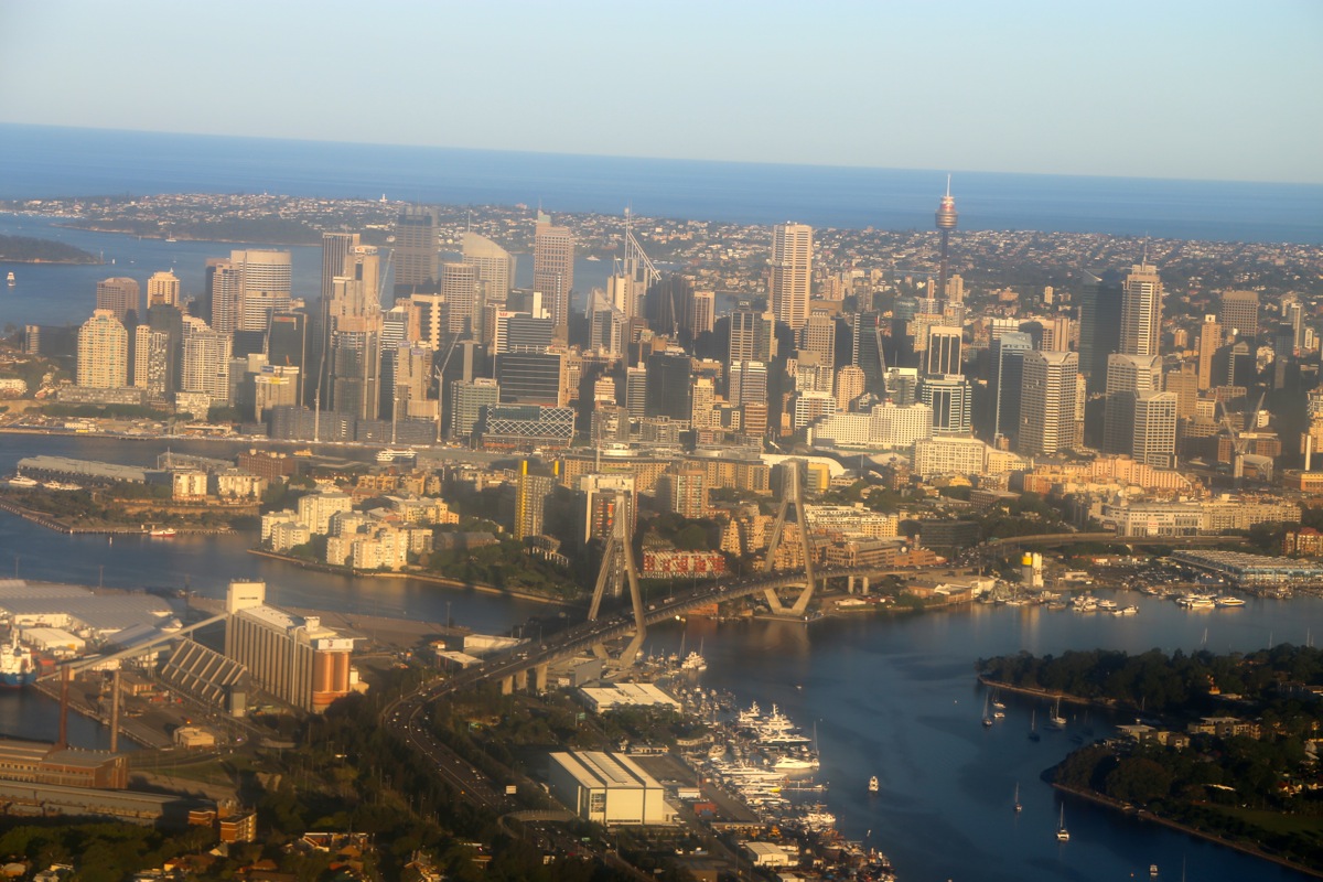
airport and catch our flight back to Sydney.
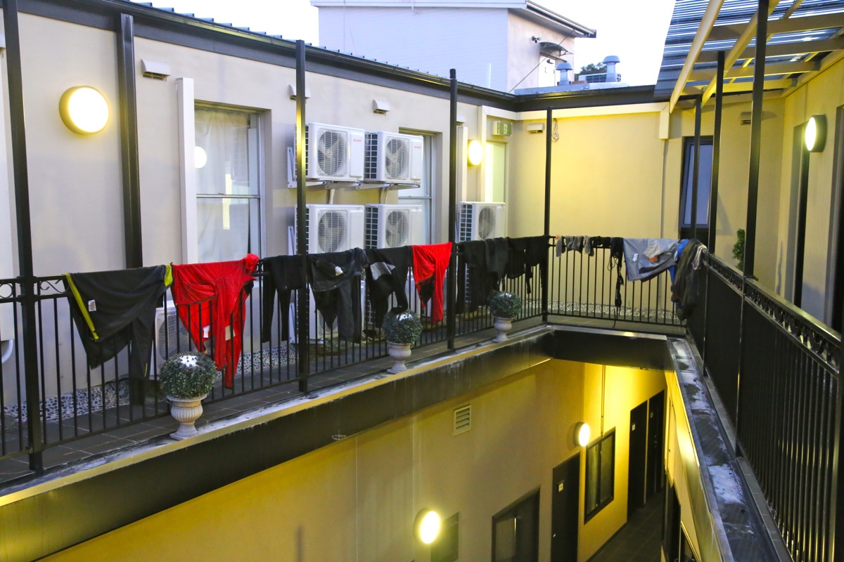
In Sydney, we reorganized and dried all our wet clothes and gear.
Rob had a very early departure
for London the next morning. Pål and
I had a mid-day departure for our extremely long
flight to Temuco in southern Chile, via San Francisco, Houston and Santiago.
Our last part
of this trip would certainly match the quality of the New Zealand part. Warm thanks to Adrian
and Rob for very good company!