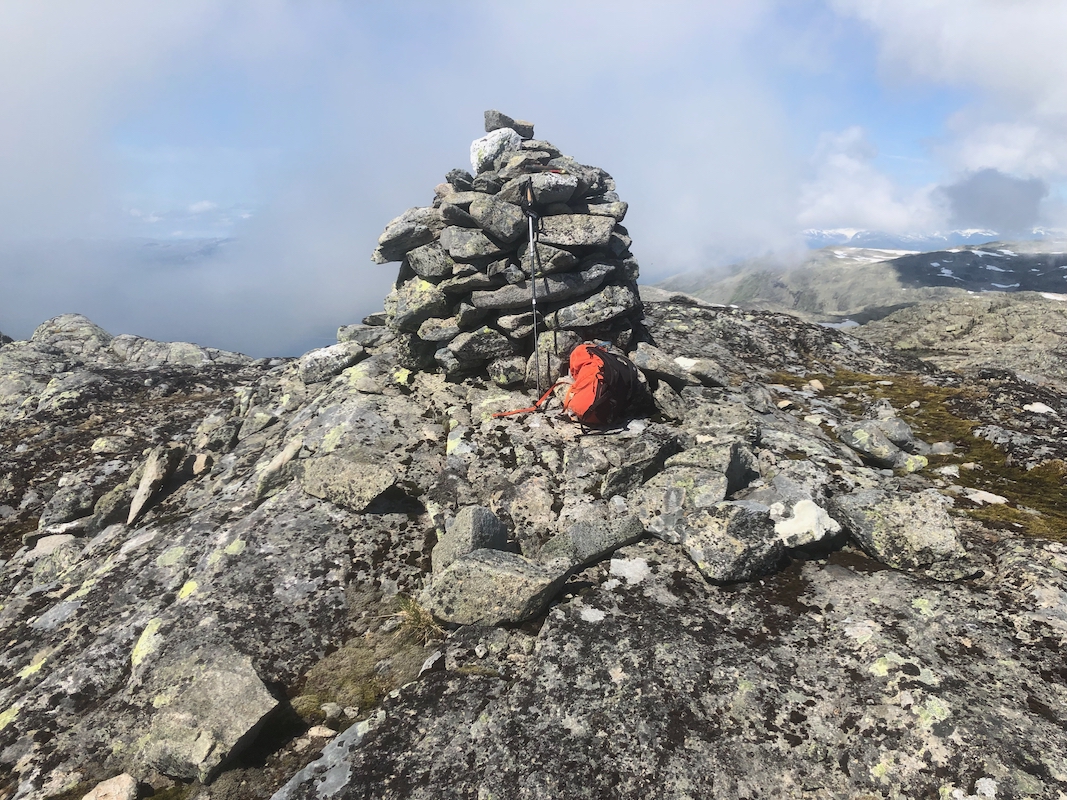
Location: North 61.04977, East 006.68863 (GPS on summit)
Climbed: July 12th. 2021.
Information:
How to get there:
From Bergen, take E-16 passing Voss before turning left on Hwy. 13
at Vinje. Drive across Vikafjellet and descend to Vik, located at
the south side of the Sognefjord. Immediately after passing the church
on your right, turn sharp right and connect to the main road (5601) running
south. Turn sharp left onto a dirt road signed for Grønsberg
at location N61.0455, E6.6352. Park your car in such a way that it does not
block in the second sharp hairpin curve going right (The 3rd. curve overall).
This is advised by the local farmer, he prefers that parking is here and not
any higher on the road. This location is
N61.04765, E006.63856, elevation about 420 meter.
Route:
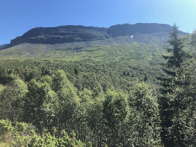
Walk up the road to the next curve, there are several houses here.
Head up the grassy field immediately above the houses, traversing
a bit right. You should locate traces from a somewhat overgrown
trail. In any case, just proceed uphill where you find a natural
passage to do so. Higher up, you will pass a small building and even
higher you should locate a gate. Pass through this gate and continue
another 50 meter uphill in the grass. You should now see that the
path continues uphill (still overgrown) towards your left (facing uphill).
Follow this pretty obvious line until you hit an old trail sign and also
see a much clearer trail heading right. This is the trail to the
summer farm called Flateng. Take this trail, crossing 2 streams, the first
on a nice wooden bridge.
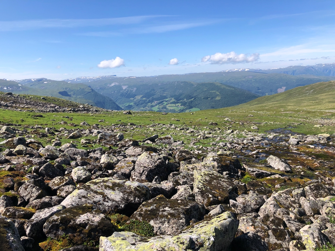
From Flateng, head uphill parallel to the stream that will be a bit
off on your left. This direction is north-west. As you move uphill
above 1100m of elevation, you see a somewhat distinct gully with
one stream and a broader bowl further right with a stream coming
down on the right. A rock formation separates these two areas.
Cross the first stream and head directly up towards this rock.
This way, you avoid talus on your right. Pick your way uphill on
green patches and gravel. Gradually traverse right as the terrain permits
and avoiding rocks and steepish terrain on your right. You should
be able to stay mainly on green (vegetation) terrain as you continue
to traverse right. Locate a very distinct ramp (sort of a ledge)
that continues to climb right and that runs all the way to the
top of this bowl. Take this route. Head south, keep right of
the local highest point in order to arrive just west of lake 1493, this
lake is north of the summit. Continue south, possibly on patches
of snow, to the summit.
Comments:
Heidi and I drove to Voss. She would spend the day there, while
I continued to the trailhead. I left my car at 1030. It was a really
nice and warm summer day. The lower part of this trail/route needs more
traffic in order for the trail to not completely disappear! Above the summer
farm I met the local sheep. They were exceptionally social and came to me
from all direction, most likely people have fed them in the past.
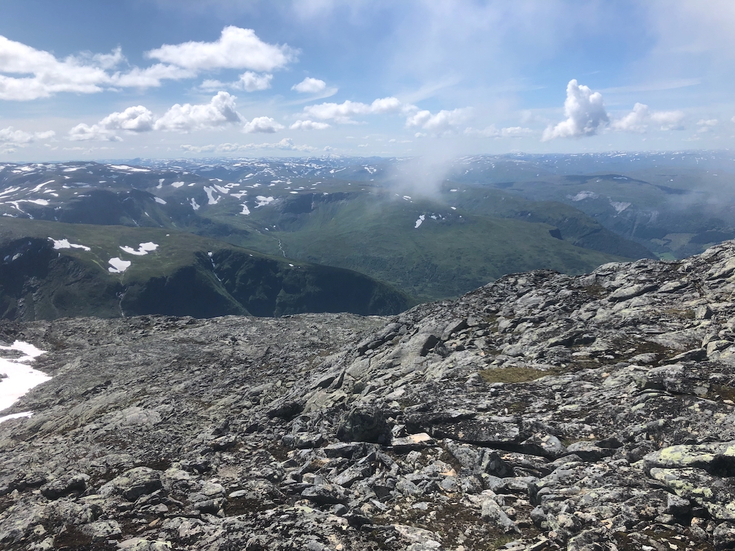
The bowl above looks steep, but it was easy to find a good way up. On top,
I walked a pretty long stretch on snow, on the west side of lake 1493.
I arrived at the summit at 1400.
Enjoying the view as well as the
very warm and nice weather. I called Heidi and estimated that I should
be back in Voss around 1800.
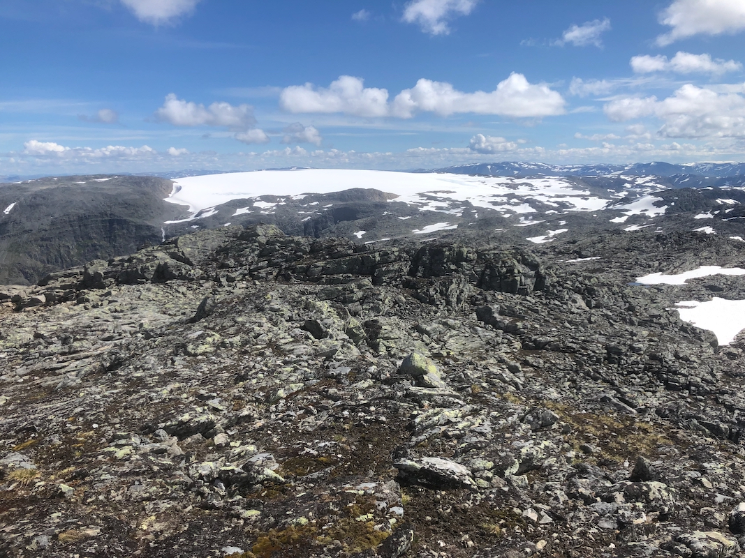
Of particular interest was seeing
the plateau glacier Fresvikbreen from here.
I climbed this glacier in 2003, it was one of the 26 Ribus (prominence exceeding
1000 meter) in Southern Norway. At that time, its official highest point in the
middle, was 1648 meter. Since then, climate change has had a huge impact, the official
elevation is now only 1631m, a full vertical 17 meter of ice has melted! At this rate,
Fresvikbreen glacier will go away in the near future.
Since Nummestolane is 1640 meter, this is now the (new) Ribu and Fresvikbreen has lost
its status. The new prominence of Fresvikbreen is only 208 meter, while it used to be
1312m.
I left at 1420 and descended back down to my car arriving there at 1700.