Location: North 45:57.316, East 010:50.019 (GPS at the summit)
Difficulty: (YDS) class 1.
Climbed July 14. 2012.
Information:
How to get there:
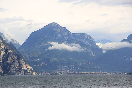
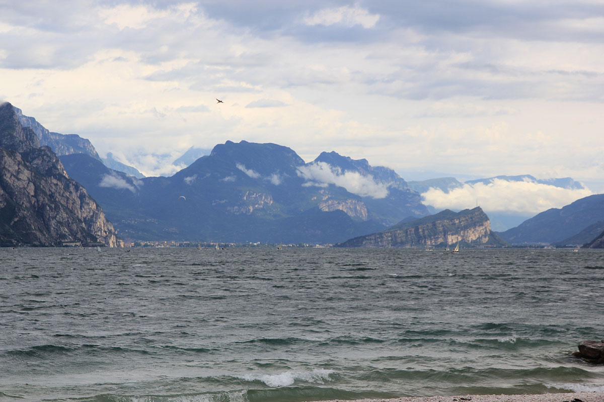
Locate Ville del Monte at the north side of the Garda Lake. This village is just
above Lago de Tenno.
Make a right at the main road fork in Ville del Monte, following
signs for Canale. Higher up, you will see signs for
rifugio San Pietro. Ignore car parling on your left, continue
towards San Pietro. Finally, the road forks and San Pietro is
right while parking is (200 m) left. Turn left and park at a pretty good
sized parking area. This is the trailhead.
Here is an overview of peaks climbed at my Europe 2012 summer trip.
Route description:
The trail is numbered 412, it starts up the (concrete) road at the end of the parking area.
Soon, there is a fork, go left. This fork is well signed.
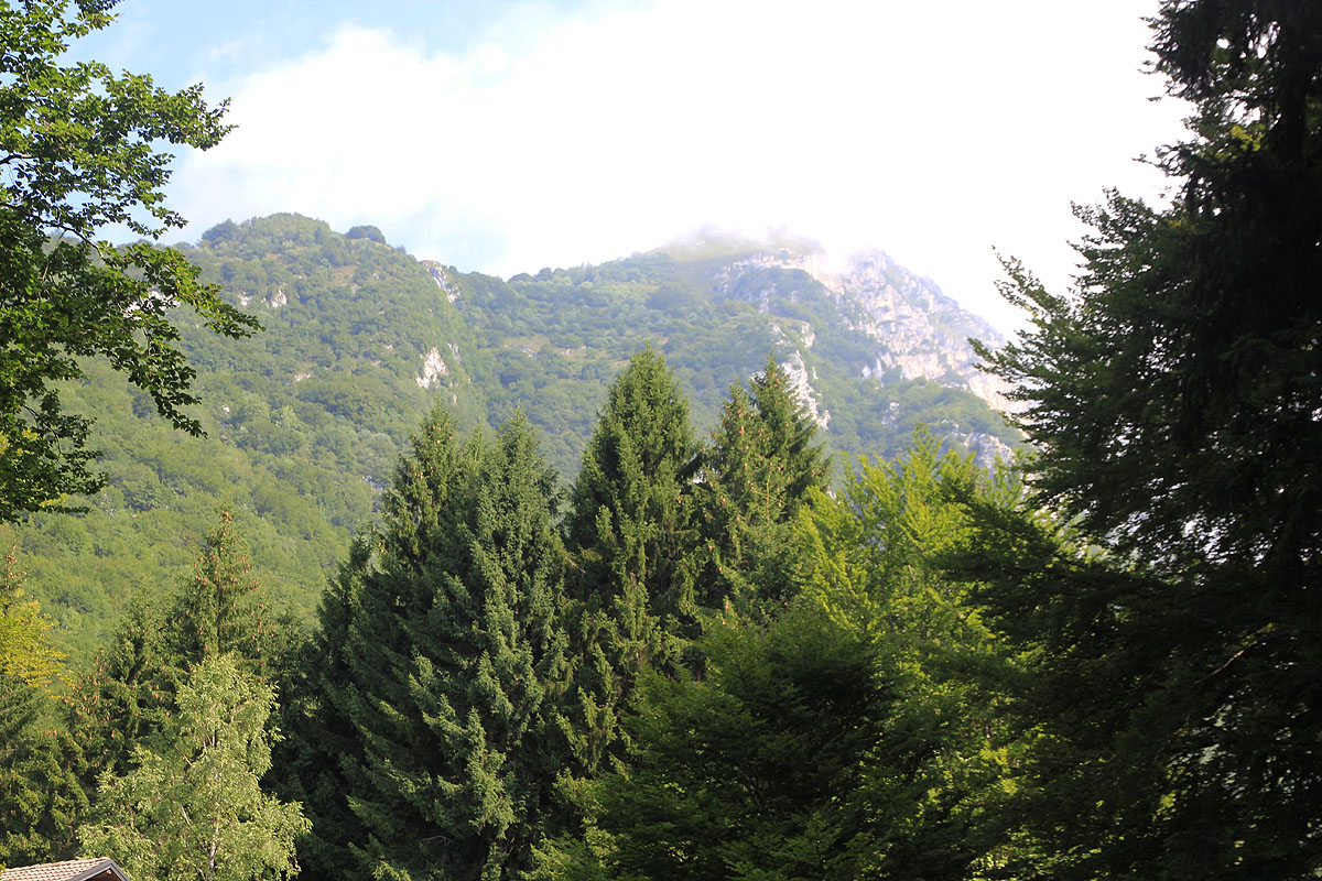
The trail now heads uphill in several
zig-zag turns before reaching a ridge where the route turns onto the left (shade) side. The trail
climbs gently on a long traverse among trees. Finally, it emerges near the end of the mountain.
The path is now pretty flat as it turns right and eventually decends a little before reaching a
mountain farm house. There are several signs here. Turn right and head up the grass field in order to
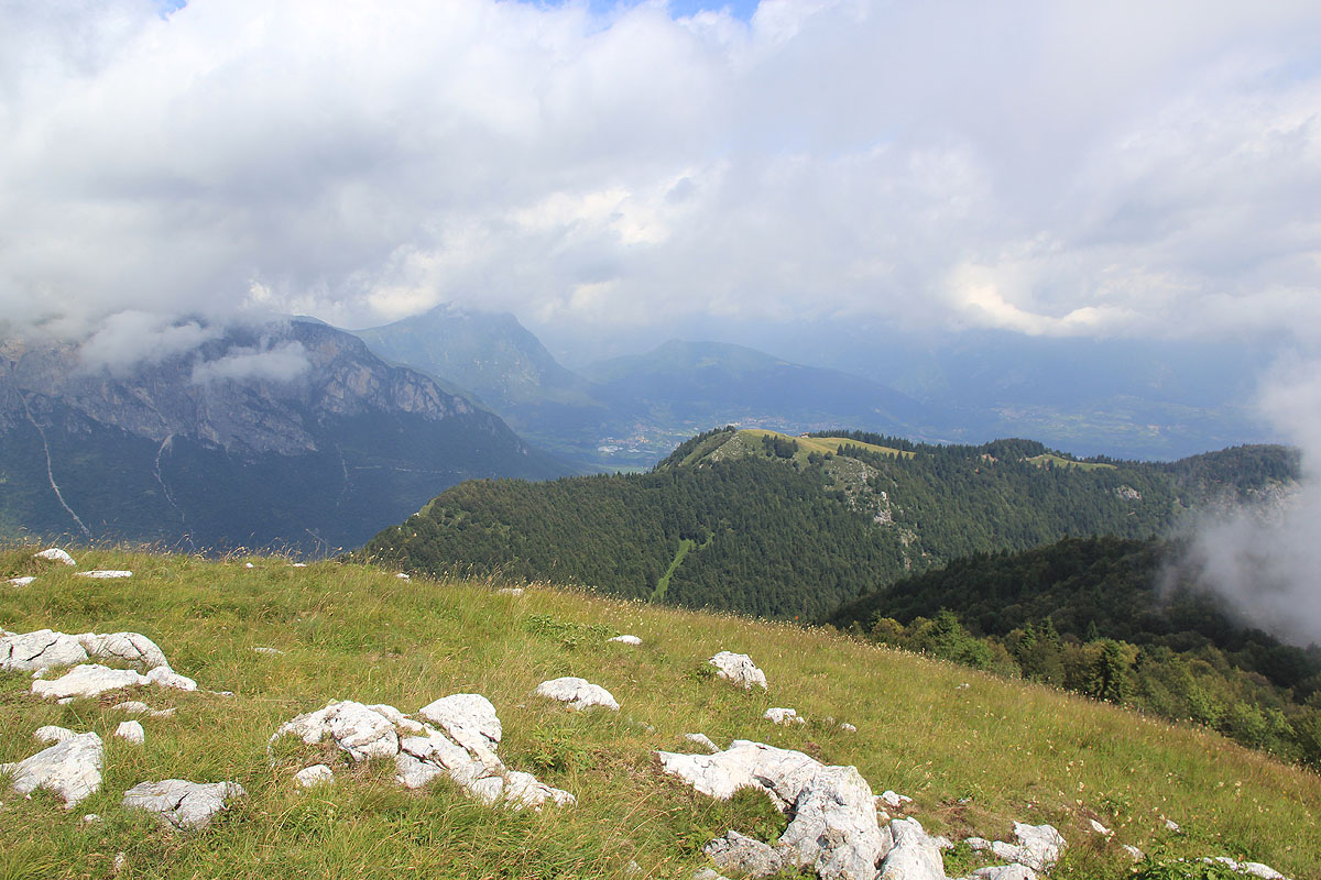
locate the trail that now climbs more right and enters the forest. A few more switch-backs and a final
turn back right, then arrive on a grassy, gentle summit
marked with a cross and a visitor register.
Comments:
After yesterdays "epic" climb of Monte Cadria, I wanted an easy hike today.
I left my car at 1015 and had a leisurely walk on the nice trail, arriving at the summit by 1140.
I left about 5 minutes later and returned to my car at 1240.