Mont Mézenc
- Mont Mézenc
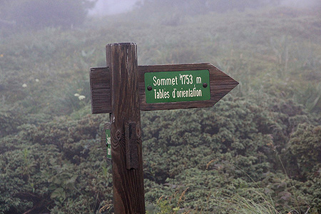
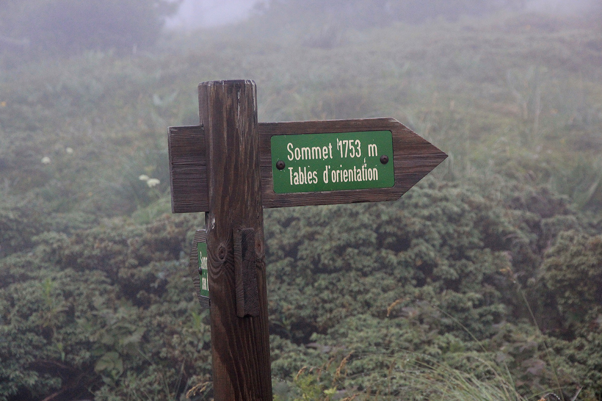
- 1753 m.
- Primary factor 753 m.
- France
- Location: North 44:54.661, East 004:11.499 (GPS at the summit)
- Difficulty: (YDS) class 1.
- Climbed July 2. 2012.
Mont Mézenc
|
|
Here is an overview of peaks climbed at my Europe 2012 summer trip.
Route description:
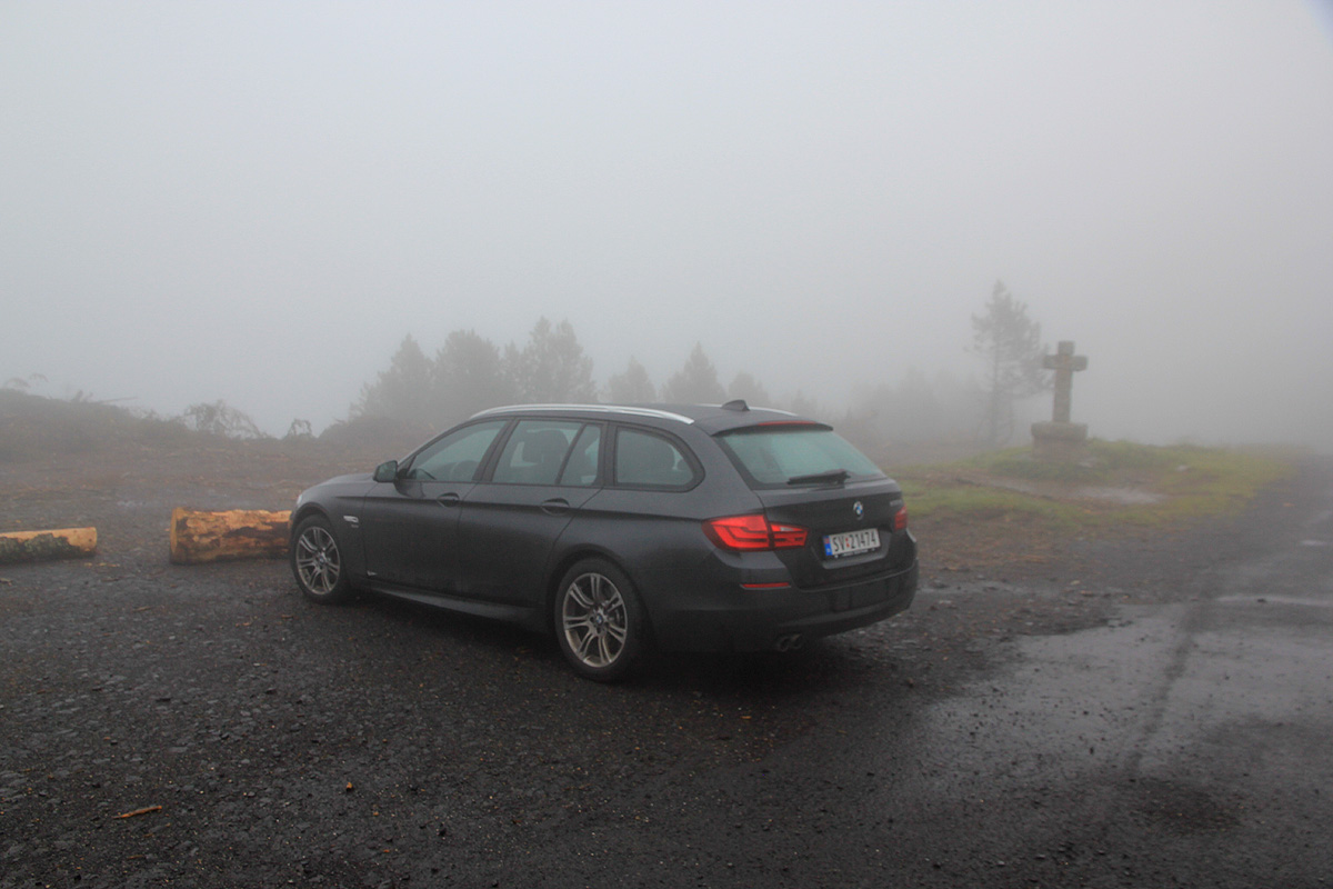
Two forest roads start from this location. Take the one to your right when facing from the parking area.
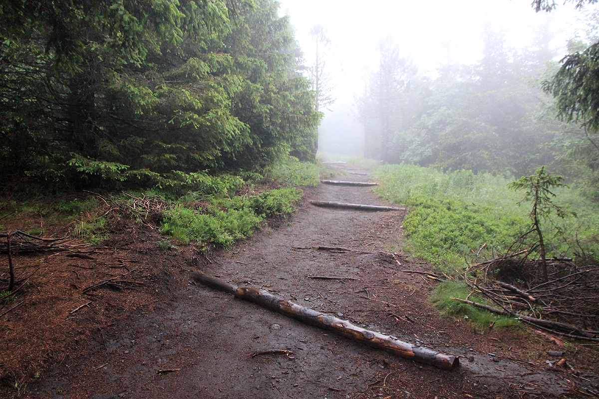
Follow this gravel road to a 4 way trail intersection. The summit trail is straight across and ahead.
From here, this trail has been made into a wide, nicely
maintained "park trail". It is about 3 meter
wide almost all the way. Higher up, a trail from another trailhead merges in from your right.
A bit further along, the trail forks. There is a sign for the 1753 summit going right. The other branch
runs to the lower, north summit. Follow the trail uphill, and keep right in order to enter the
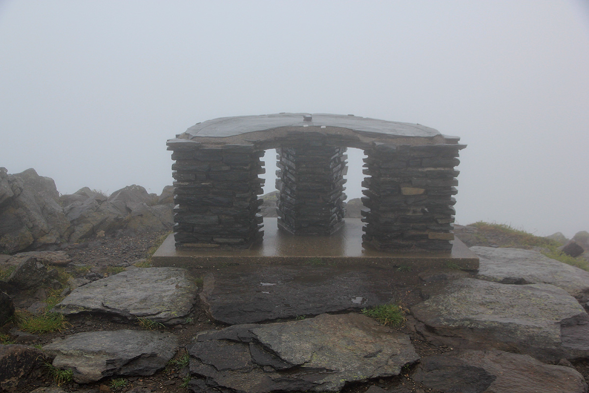
highest point. There is a viewfinder on the summit cairn.
Comments:
I decided to make this trip as a morning hike before breakfast with Heidi in our very
nice hotel. I left shortly before 0600, after a short drive to the trailhead, I started out
at 0610. A leisurely morning walk brought me to the summit by 0635. It was total fog, so
no view. I started back down at 0640 and completed the hike by 0700.