Location: North 37.27811, East 022.61283 (GPS at the summit).
Difficulty: YDS class 2.
Climbed October 7. 2021.
Information:
How to get there:
This mountain is located in a fairly remote area south-east of Tripoli.
This trip-report describes an easy access, but the final forest road requires
a high clearance 4WD vehicle.
First, locate the location where the forest road branches from a paved road.
This is N37.28426, E22.58854. The first part is fairly steep and may be difficult
if wet. You climb to a horizontal road that has better quality. Turn left and
follow this road north, then more east and again south, climbing to a small chapel
located at N37.28724, E22.60653, elevation near 1650 meter.
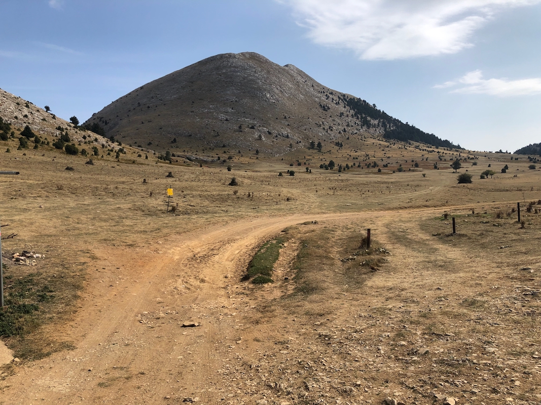
A pretty large, flat area
stretches south with the mountain immediately east.
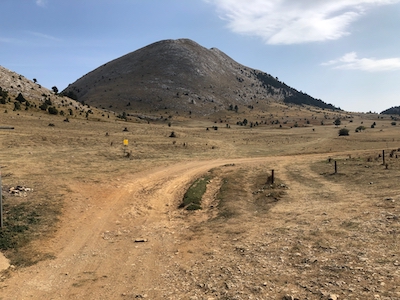
Oone may drive to N37.27852, E022.60733, elevation near 1670 meter, this
is a good trailhead.
Route description:
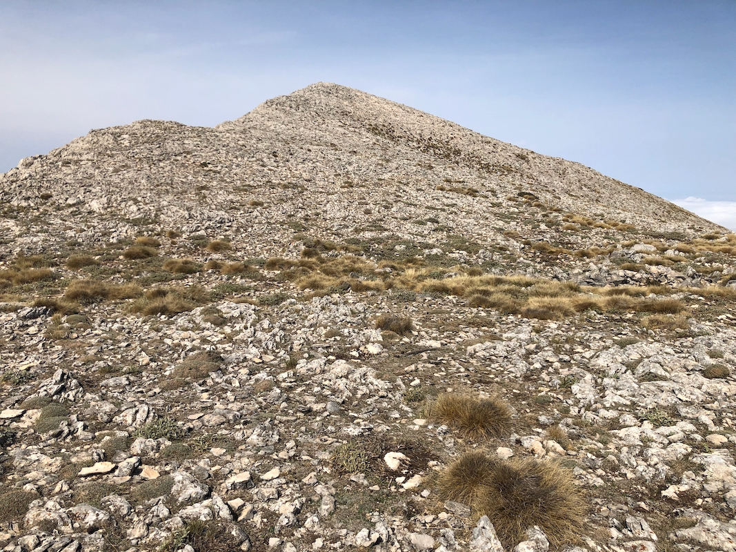
From the trailhead, do an ascending traverse heading slightly south of east. You should
follow open space between the trees at the lower part. There may be some goat trails,
but overall the terrain is easy to ascend. This line should get you pretty high on the
final south ridge
that you follow on easy ground the last stretch to the summit. Comments:
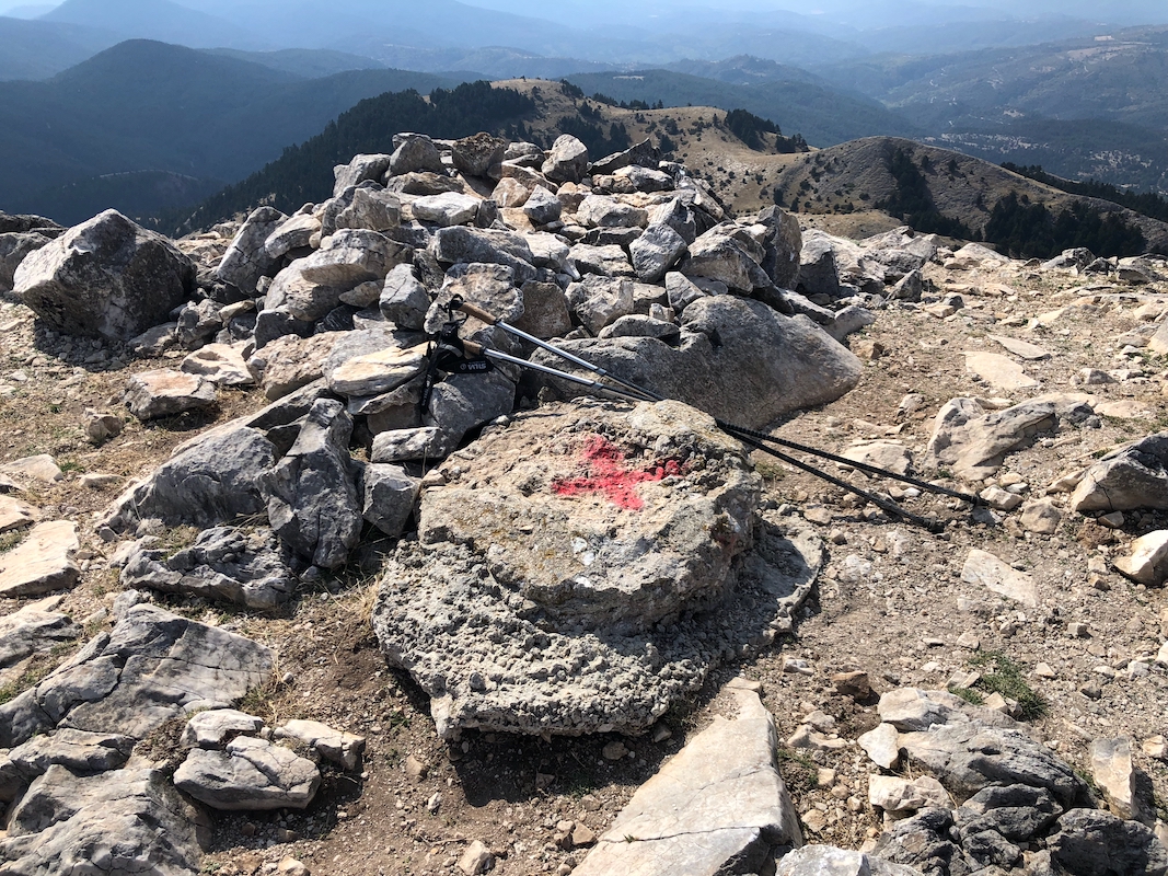
I started at 1340 and ascended to the summit in 20 minutes.
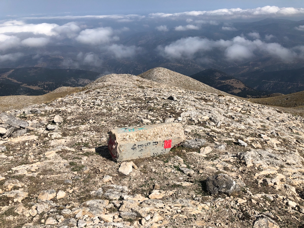
The summit marker is broken and lies on the ground nearby.
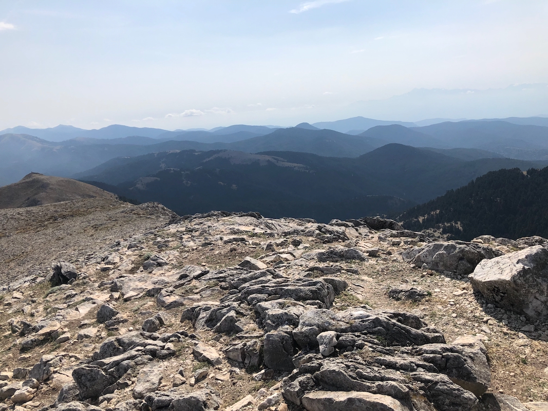
I spent about
10 minutes on top enjoying a fine scenery.
Descending back to the car along the same
route for an overall trip time of 50 minutes.