How to get there:
Locate the location where SP-81 meets SP-654. This is
near the trailhead. If coming (up) along SP-81, turn left oh
SP-654. Drive to the highest point of the road, shortly beyond, a small
road forks left. This area provides limited parking. There are several
more parking possibilities a bit more downhill. I parked at location
N44.53609, E09.50157, on top of a small hill accessed by the small road.
Route::
A quick summary of the peaks climbed in Italy 2022.
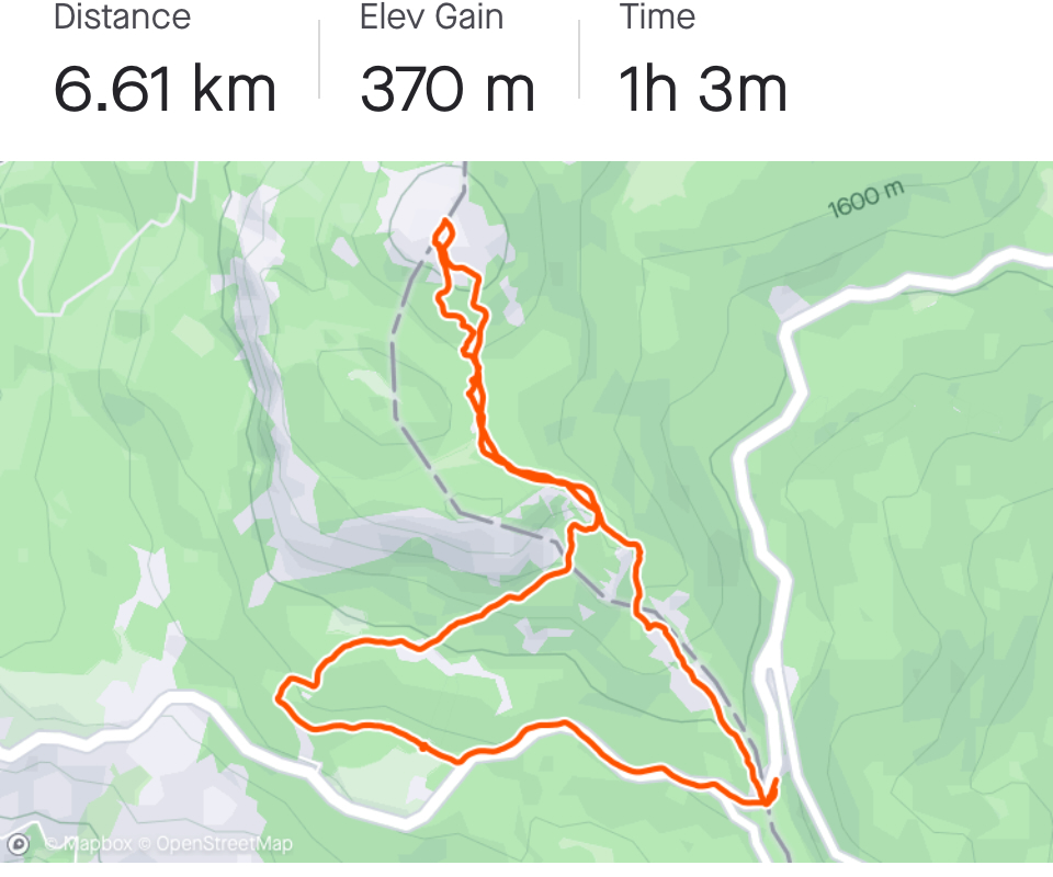
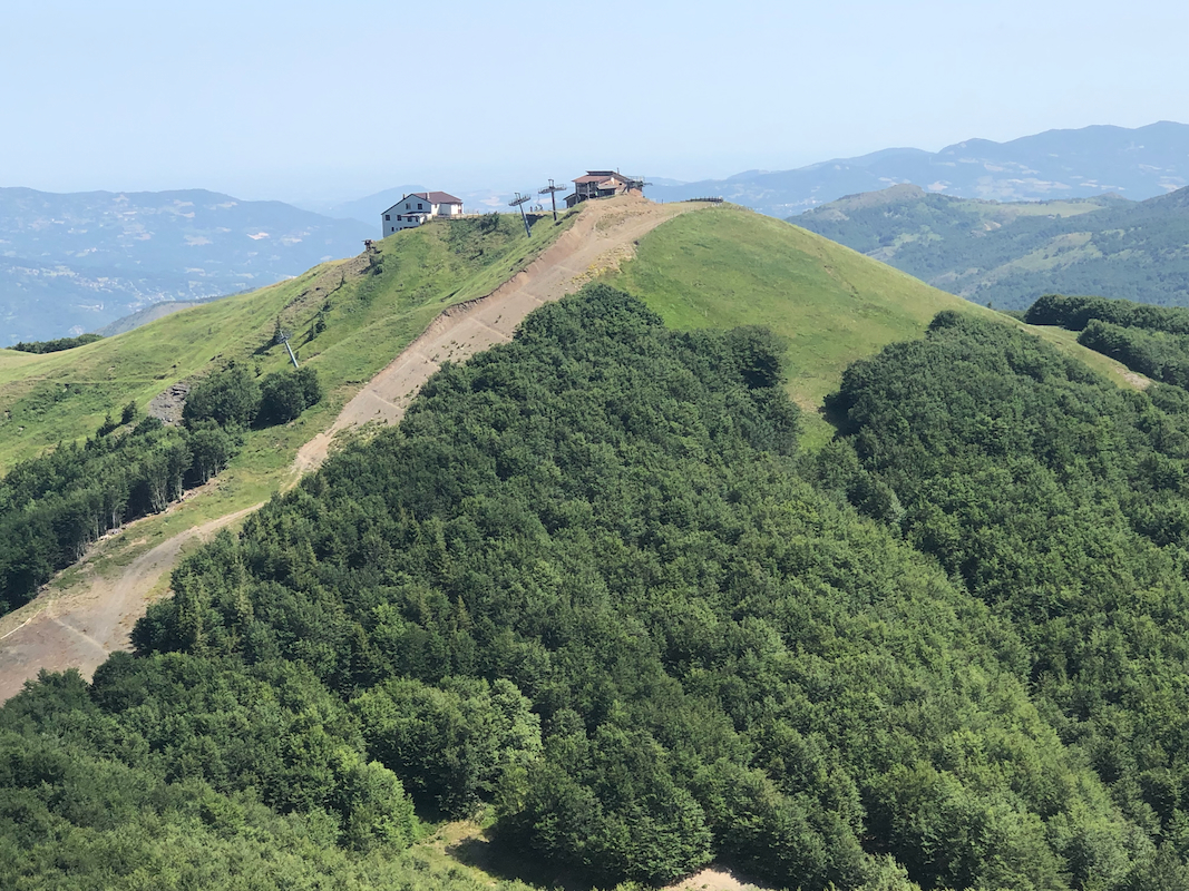
A clear trail heads uphill from the main highway. There are also some signs
along the way.
Comments:
I arrived around 1000 and was ready to hike by 1010. The trail
was easy and nice, I arrived on the summit after 40 minutes.
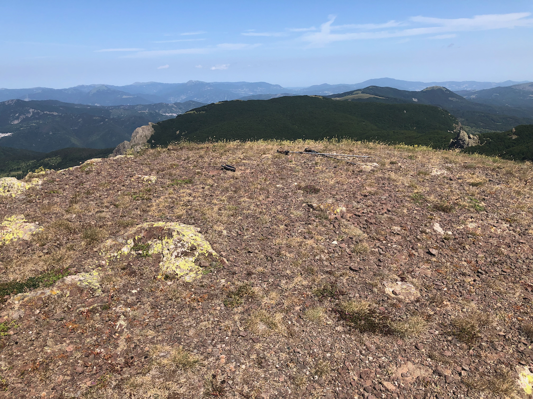
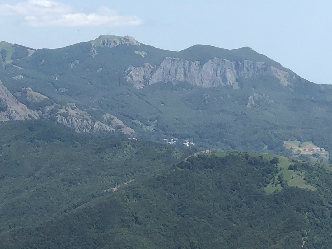
The highest point is nearby an antenna installation.
Quite a busy mountain with many visitors.
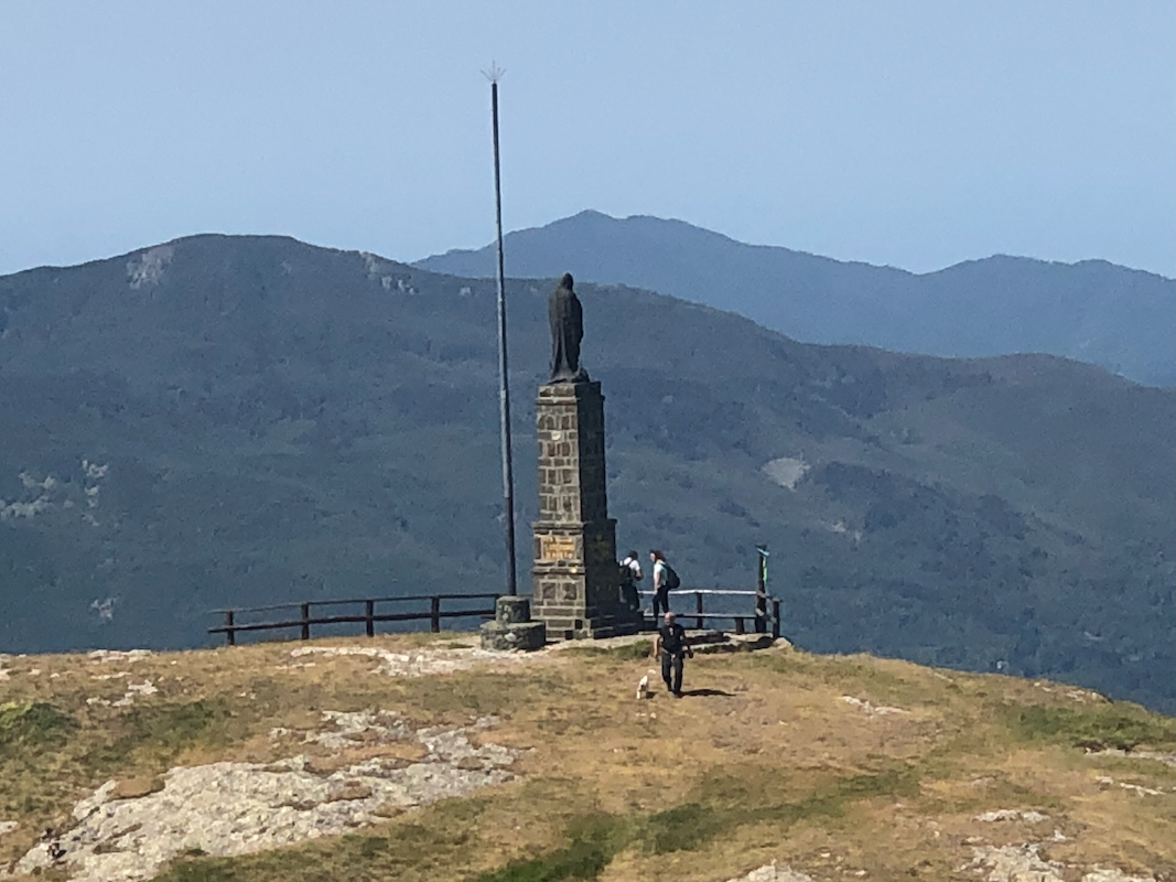
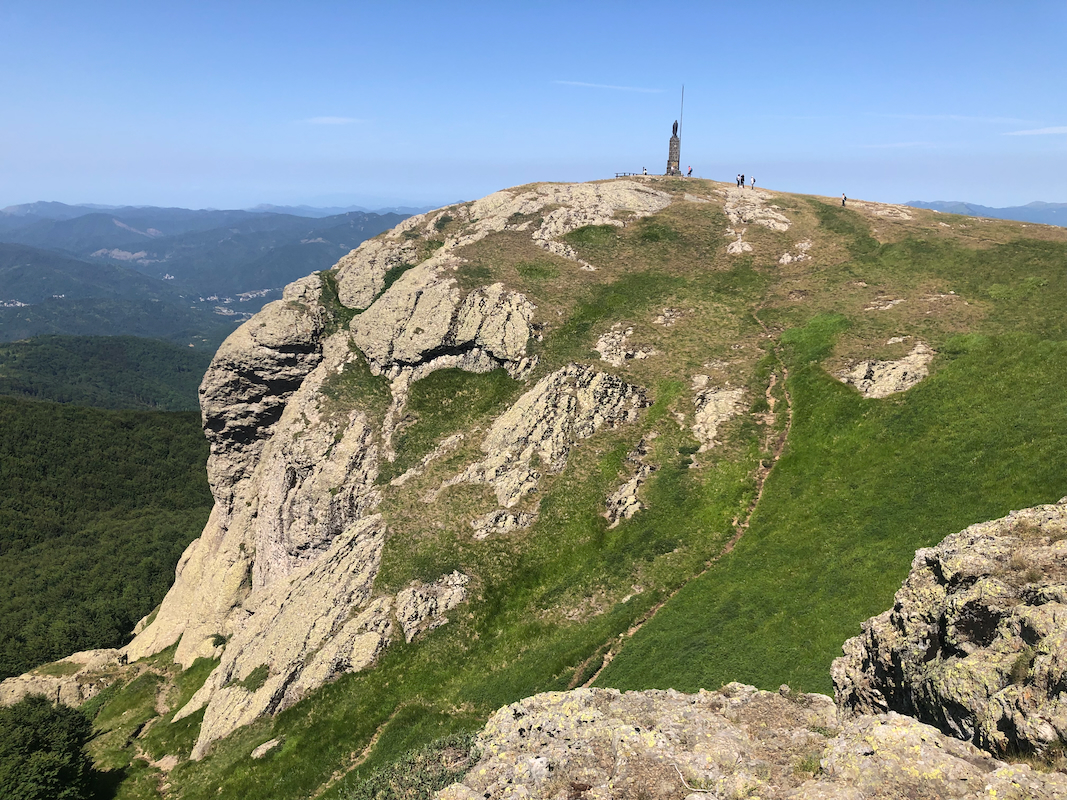
There is a larger summit monument
on top of a cliff considerably below the summit.
I started back down after about 5 minutes. Following what seemed to be the
natural trail brought me back to a location about one kilometer west of and somewhat
lower than my original trailhead. Obviously, I missed a trail fork while descending.
Back at my car after about 50 minutes, I walked back up along the highway.
