How to get there:
From Kona, drive Hwy. 19 north along the coast. Hwy. 19 turns
directly east towards Waimea, continue to follow 19, now uphill
and inland. Before Waimea, turn left onto Hwy. 250. Drive a few miles
and park on the left side of the road at location N20.04781, W155.73691,
elevation about 960 meter.
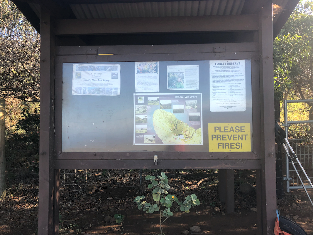
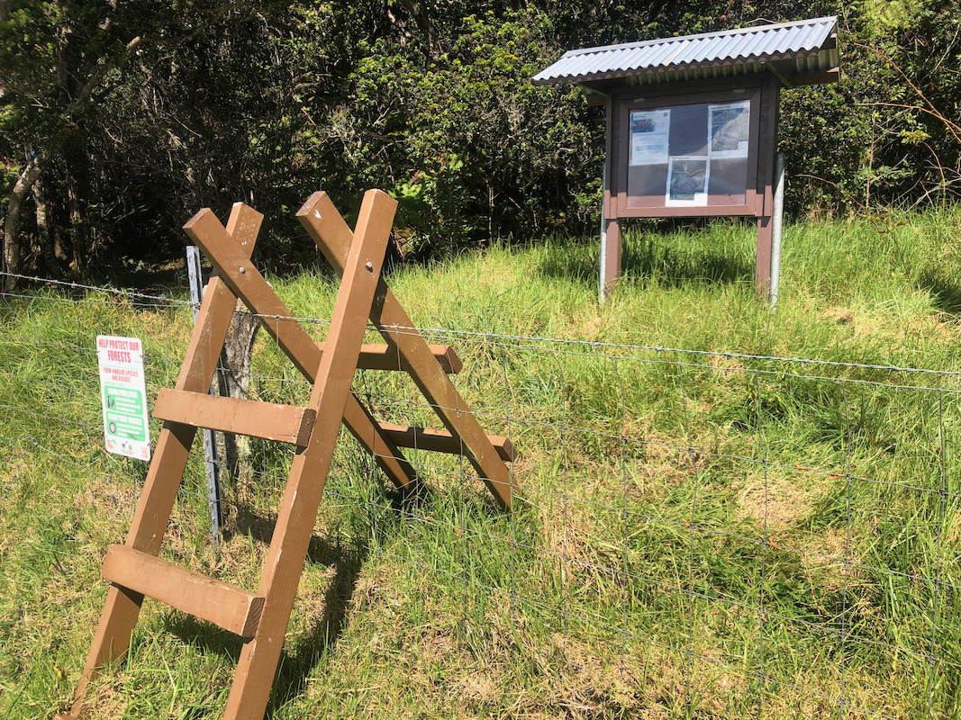
There is a large sign just on the
upper side of the road.
Note: There is an unlocked gate right next to the trailhead.
A road that canbe driven by a sturdy 4WD vehicle runs uphill. Near 1400 m of
elevation there is a small sign advising that no vehicle should drive beyond.
Thus, it appears that one may drive up here and save most of the vertical if
arriving with a capable car. However, the hike up to this point follows
the same track and is straightforward.
Route::
First, head across the road and pass through the gate serving the 4WD road (narrow passage).
Follow this road as it extends uphill. Mostly (short) grass, an easy walk.
You will pass a sign near 1400 meter of elevation saying NO Vehicles beyond this point, then
ascend one more hill still staying with the 4WD tracks.
When the 4WD tracks level out, they fork and one track heads slightly more left. Follow
this track, it sort of runs to a gully and is closed by a big metal gate. Climb this
gate (easy), then exit the road on the other side of the gully following what looks
like a small trail. Continue to follow this trail and/or walk just next to the fence.
This carries on for quite some distance, it is much easier to walk close to the
fence than out on the open field.
Continue until you reach location N20.07755, W155.72917, elevation about
about 1520 meter. There is
a nice crossing point
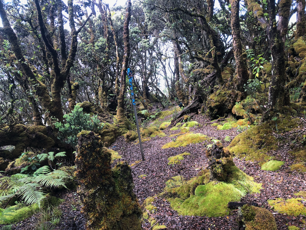
for the fence and blue flagging
will start almost immediately. There is jungle from this point to
the summit. Follow the flagging closely, if you loose it,
it will normally be best to look carefully around (backtrack) to find it.
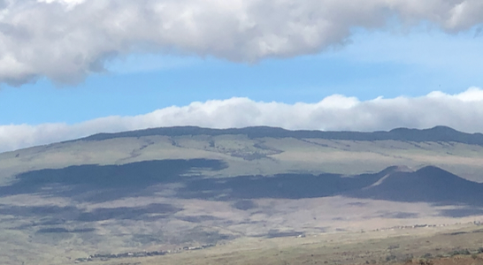
The route crosses a small ridge with a minor summit named Eke, up on your right.
A short, but fairly steepish descent (slippery), then aross and up the final
ascent to the summit. You will arrive at a flat
area with a metal pole.
This is almost as high as the highest point. There are lots of trees with
passages between them, one may criss-cross this area and find locations
that may be as much as one meter higher. At one spot you may also find
a metal pipe that extends slightly above ground, perhaps another
summit marker?
Comments:
I left Keauhou, where we rented a condo, around 0600. Nice drive and I was
soon parked at the trailhead. I knew this hike would be wet and muddy, so
brought a complete change.
I left at 0805, and made good time up the grassy 4WD track. Walking along the fence,
I knew that I would need to cross it. In a deep gully (small creek), the fence just
passed across and I decided this might be a good place to cross. My plan was to
continue along the fence on this side until hitting my GPS track. However, the terrain
was not all bad and I ´gradually started heading uphill.
Shortly, I scared a wild pig that ran away into the jungle. I did not know that
the route crosses a ridge, then descends. This got me to the summit of the small
hill Eke, oh well - I descended steeply and in pretty bad jungle. The jungle got
appreciably worse to walk from here on. I therefore headed a bit left
in order to find the track. This track was flagged with blue tape and could
be followed without much problem to the summit area.
It had taken me about 3:15, including a significant detour to first visit the
summit Eke. I continued into the now very flat forest and walked around quite a bit.
Nothing really much higher anywhere. I found the end of a metal pipe coming up
from the soil in one place. Returning to the metal pole, I had a quick snack and
some water.
Leaving after almost 30 minute break, I decided to follow the blue
markes carefully. When descending the second (and larger) hill, I suddenly
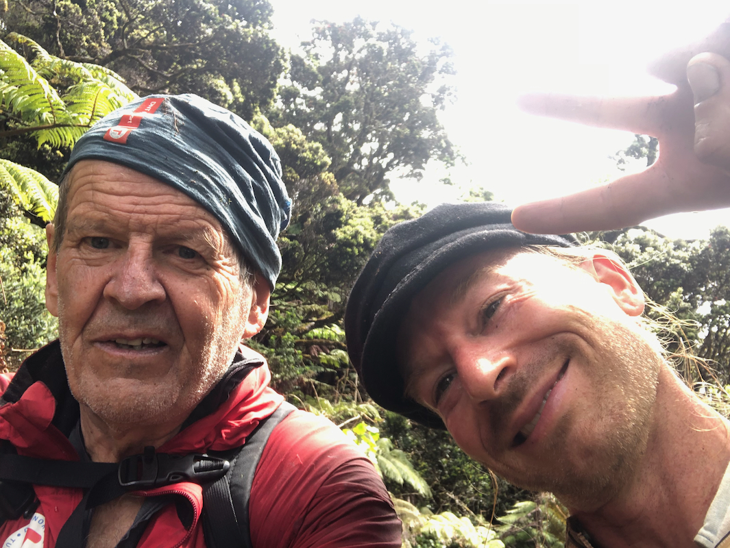
heard something. Subsequently he shouted "Hi" and I replied. Very unlikely
to meet somebody here! It turned out to be a local young
man, Johnny from Hilo.
He seemed well equipped with a machete and two smaller backpacks. He claimed that
a machete was needed to fight attacking pigs. Friendly guy, he asked how much was left
to the summit. The summit was not his goal, rather he was looking for a crashed
airplane (second world war type.). I wished him a continued good hike and we
continued in opposite directions. I made it back to the fence and discovered
that a fence crossing was properly in place. The rest of the hike was
easy, mostly downhill and I was back by my car 2:45 after leaving the summit.