Kalskråtinden
- Kalskråtinden
- 1801 m
- Primary factor 708 m
- Location: North 62.47327, East 007.85912 (GPS on the summit)
- Difficulty: YDS (easy) class 3
- Climbed July 25. 2020.
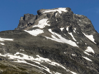
Kalskråtinden
|
|
Markerte høydetopper er konstruert på nytt i fotogrammetriseksjonen
og målingene viser at det østligste punktet er høyest.
Østligste terrengpunkt er 1801,33 moh. og vestligste terrengpunkt er 1800,87 moh.
Det vil si at begge høydene vises med 1801 moh. i våre kartdata.
In short, they have investigated the elevation of the two summits and concluded that the east summit
is 1801.33 meter and highest.
Comments:
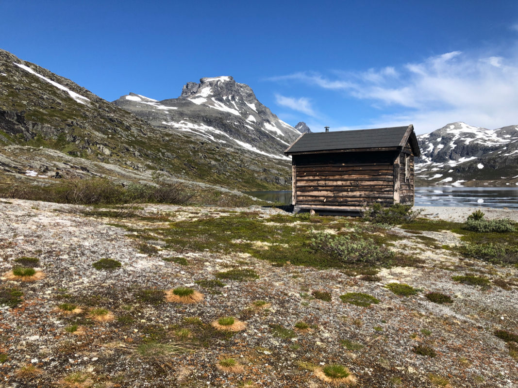
I came from Trondheim after hiking some peaks in Nordland with my friend Jostein. The plan
called for an early start, but since I arrived in Romsdalen in the afternoon (and needed a place
to sleep), I called to check if I could stay in the small hut Mongevassbu. That was easy to
arrange and after buying some food and a can of beer, I started up the trail at 1700.
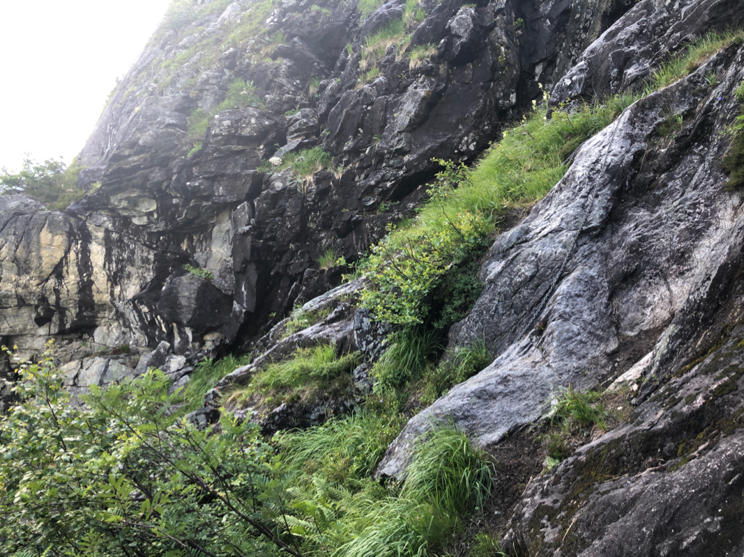
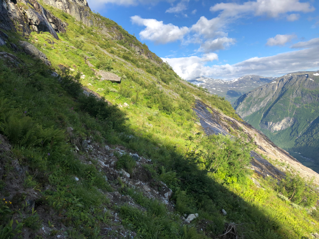
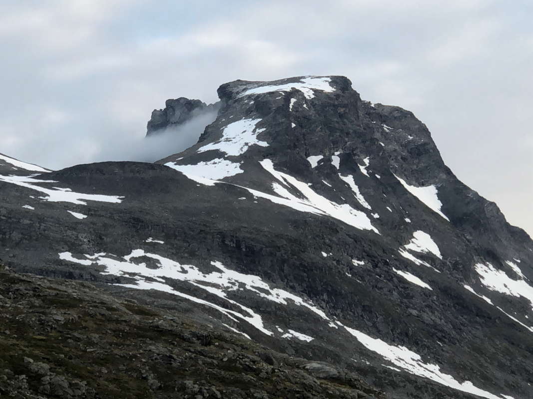
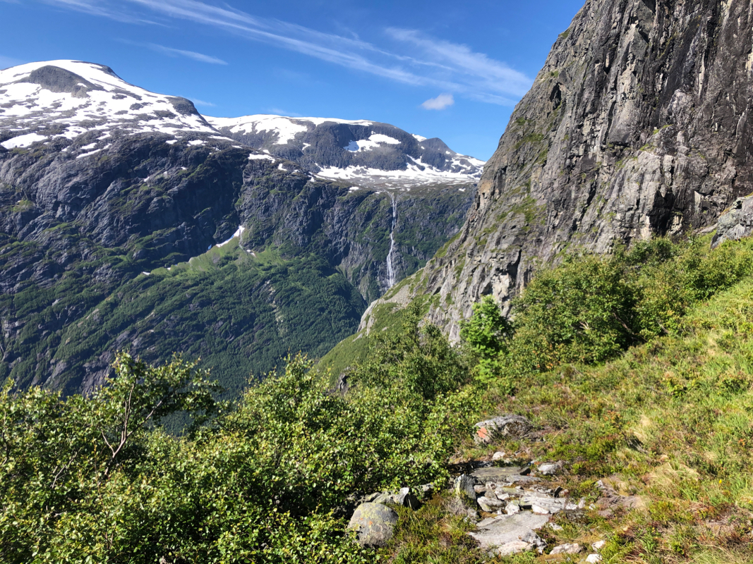
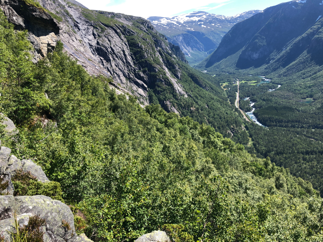
This trail is actually quite impressive. You ascend directly above Romsdalen. The slope and terrain looks
impossibly steep and there is a solid vertical cliff high up at the horizon. Obviously, the only
possible route would have to follow a climbing traverse
right and exit up near the corner at the
end of the visible terrain.
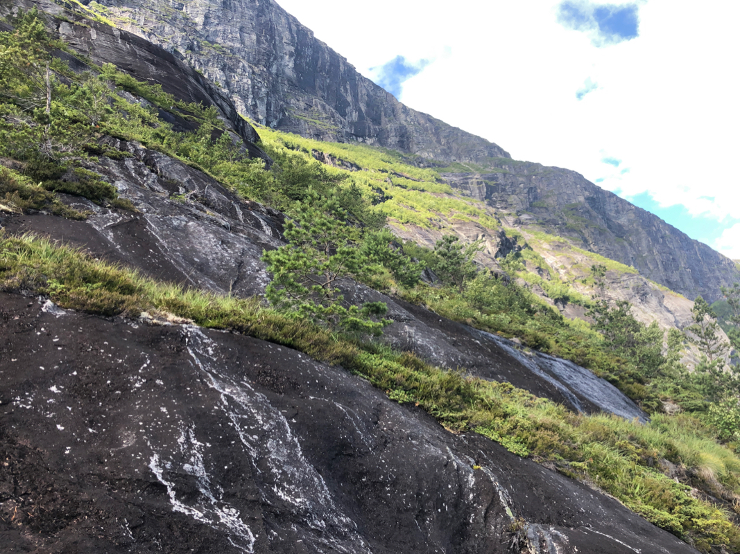
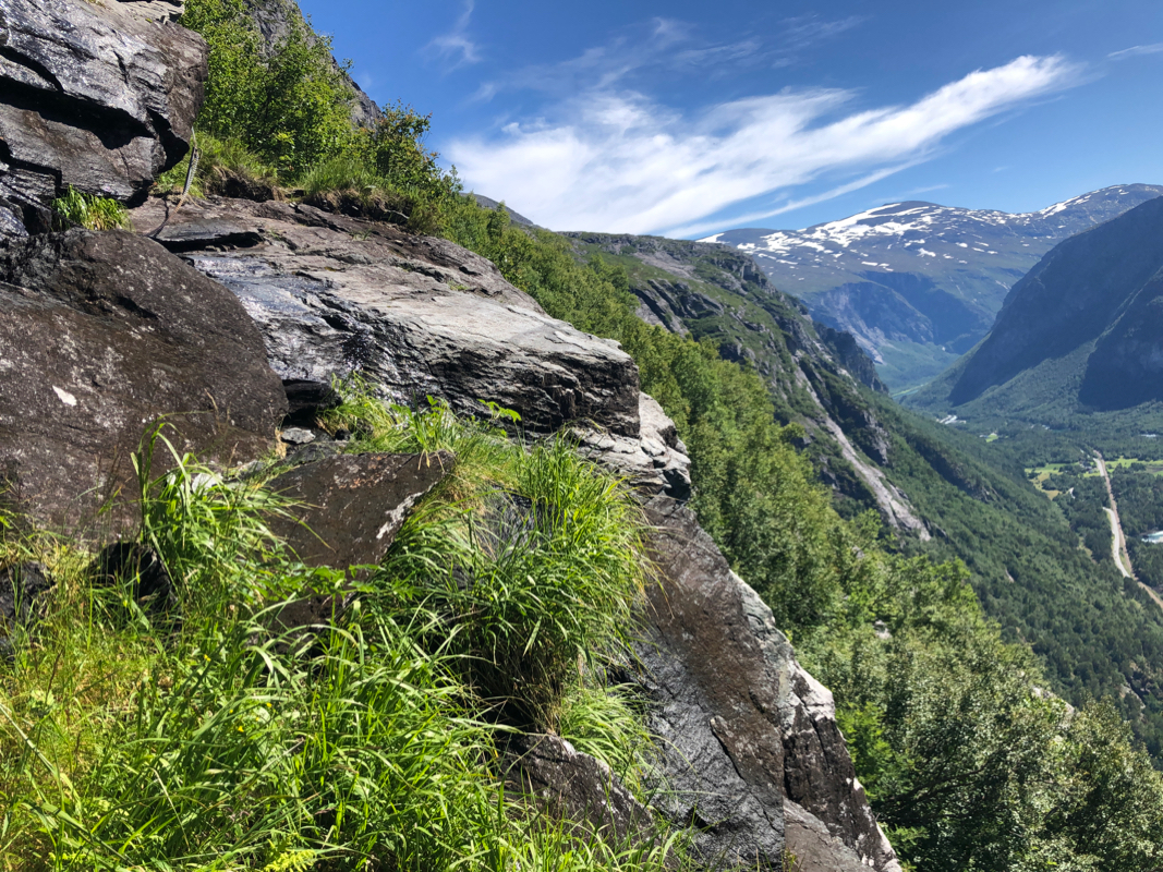
I stopped along the way to taste some very nice blueberries, then noticed a very nice exit at the end
of the climbing trail. A very natural set of rock steps and suddenly, no more steep slopes, but gentle
flat terrain. I arrived at the hut at 1930.
The hut had not seen a visit for almost a year, hundreds of dead flies everywhere. After a short cleaning
session, it was time for dinner.
The next morning,
overcast - the forecast had predicted a clear day with sunshine. I left at 0550 and gradually,
the clouds broke and a nice day was in the making. The first patches of snow were completely hard frozen, I told
myself that I should have taken crampons along from the car instead of the can of beer. Avoiding snow, I thought
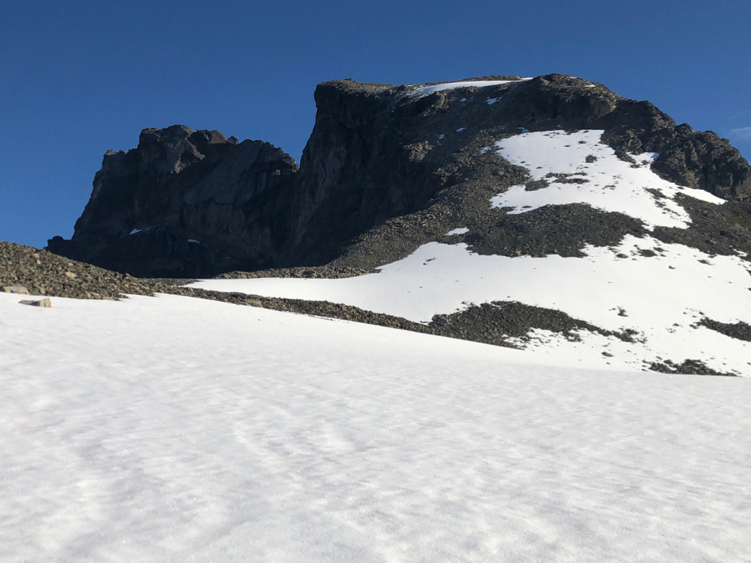
the slope ahead was pretty steep, but then discovered that the broken rock provided many natural steps. Higher up,
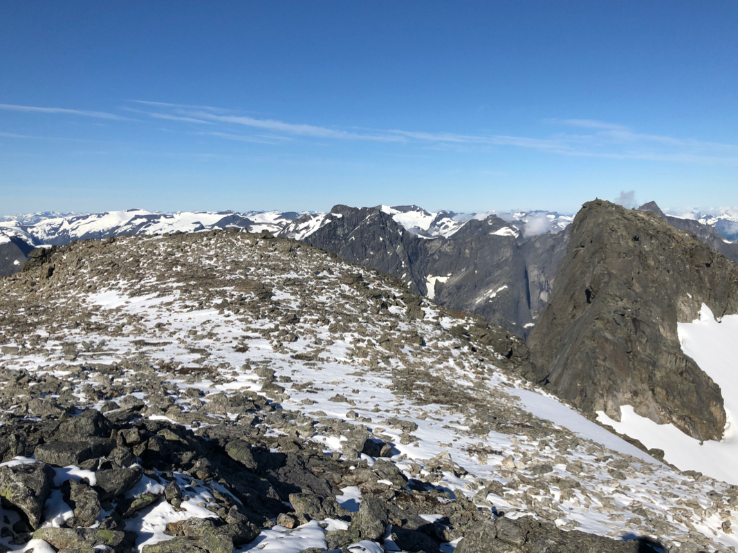
on easier slopes, I followed the rocks and noticed that the ridge was free of snow.
The ascent was easier than
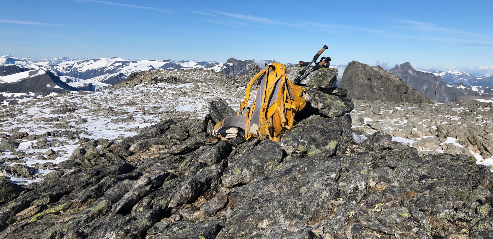
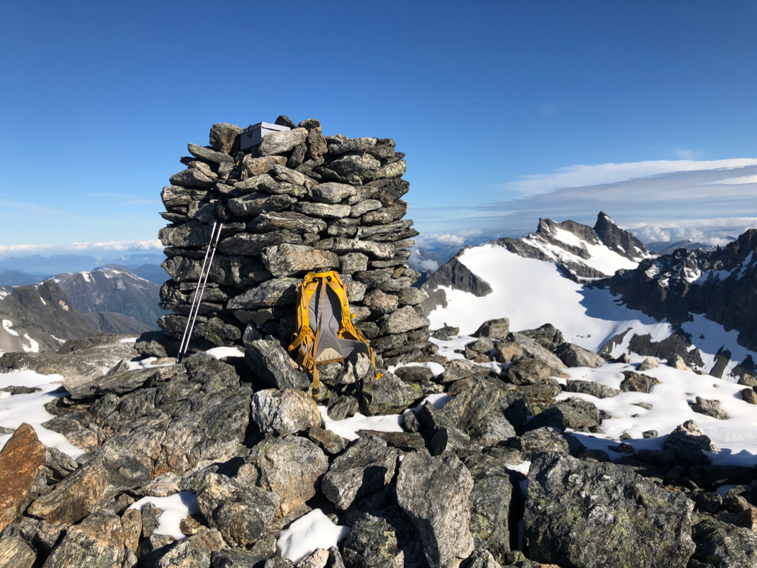
what it looked like from the hut. I arrived at the summit at
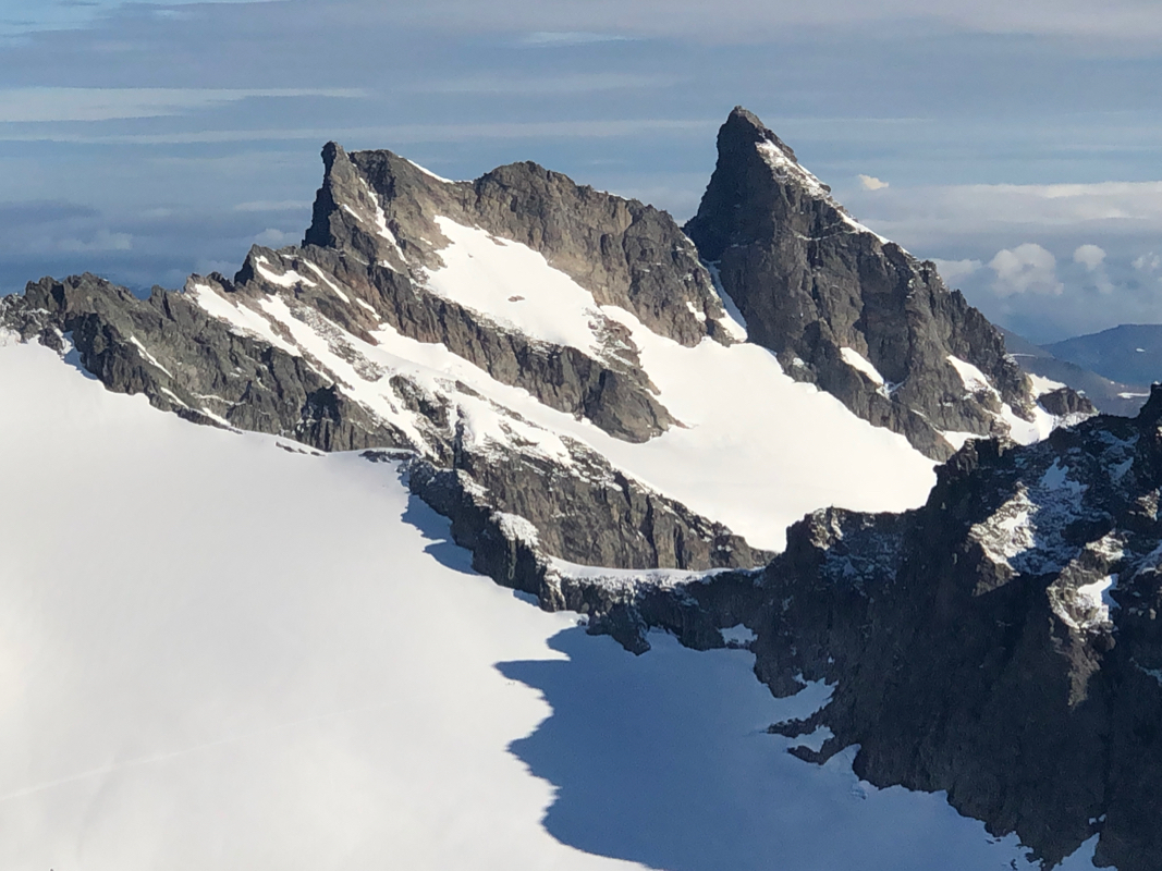
0840. By now, the sky was clear and the views nice.
Store Venjetind being
the most striking object nearby.
I rested and enjoyed the place.
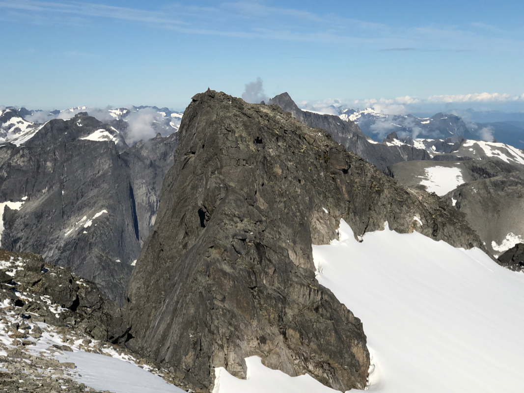
Looking across to the west summit,
a visit there would take time. I planned
to have dinner with Heidi in the evening in Bergen, so better get going. It was good to know that this summit
is indeed the highest.
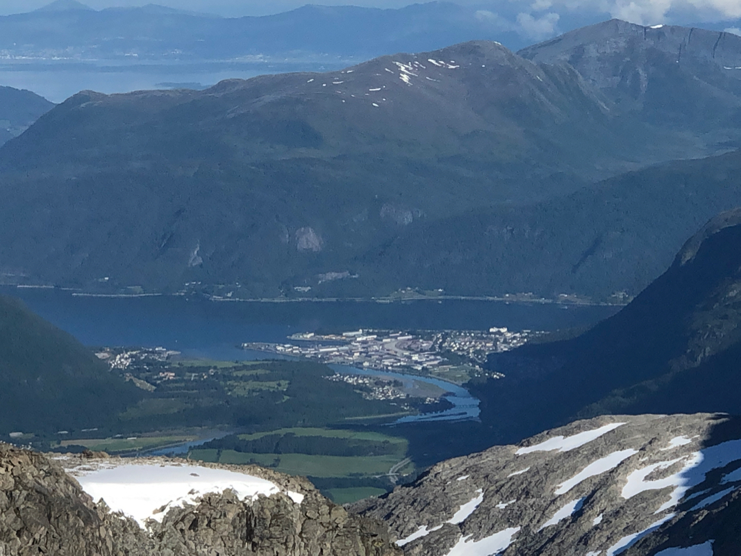
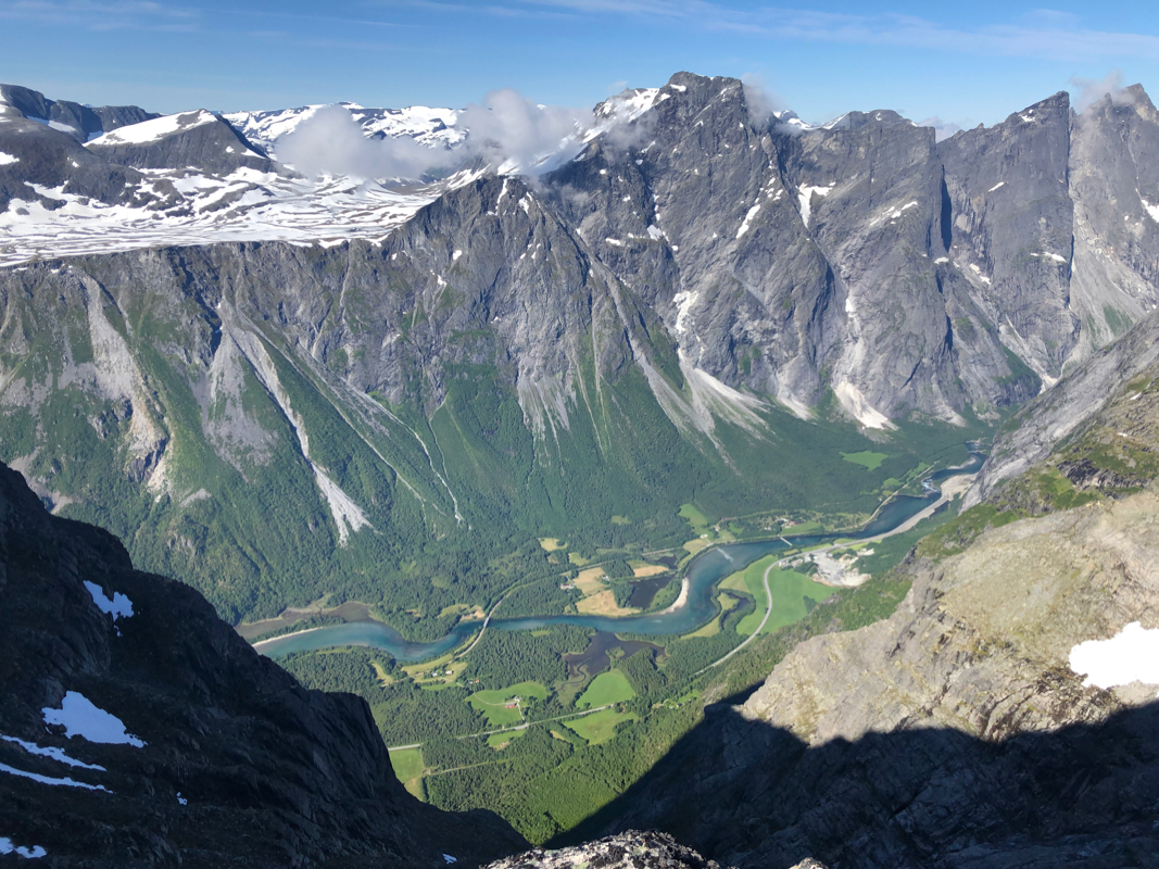
I started down at 0910, the view across to the Troll Wall
as well as directly to the
valley floor is
among the best in the country. Back at the hut by 1100,
I continued at 1115.
The trail down
to the highway was equally good
in this direction and I was down in 2.05.
I now started driving back to Bergen, a late dinner prepared by Heidi, being excellent motivation.