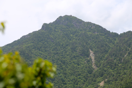
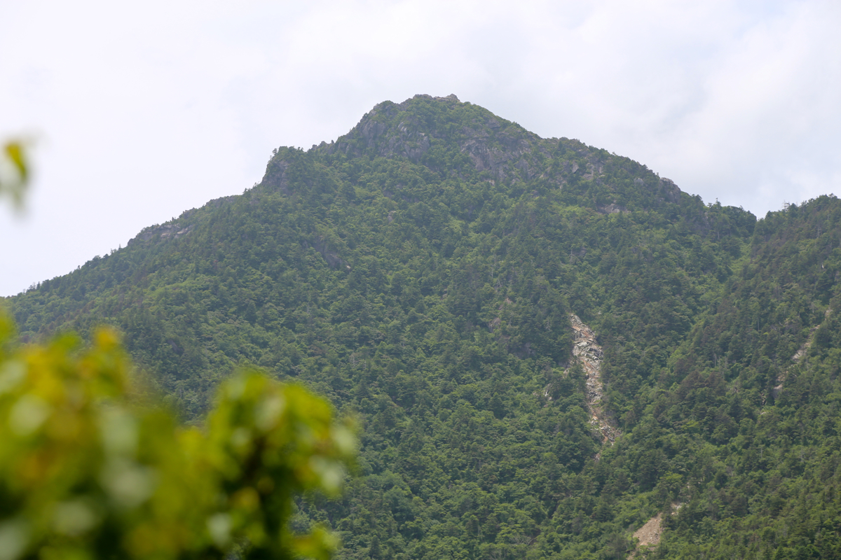
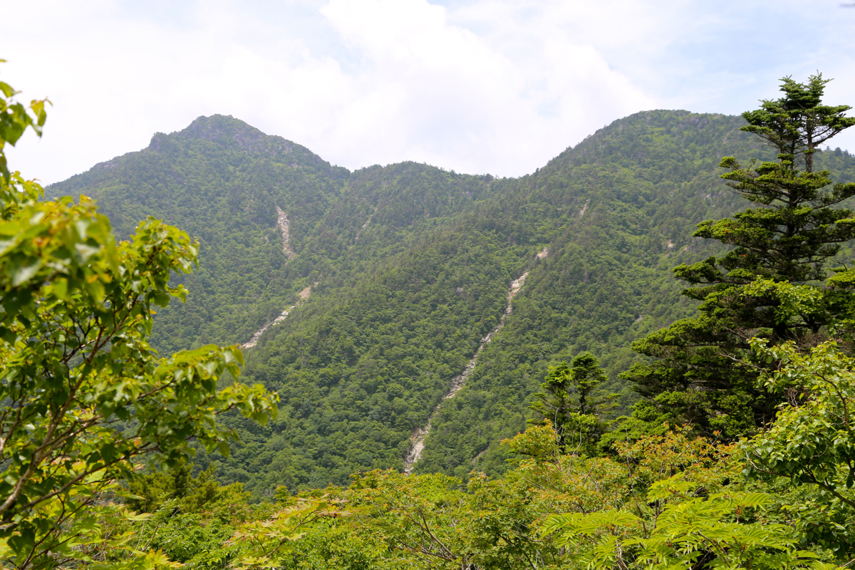
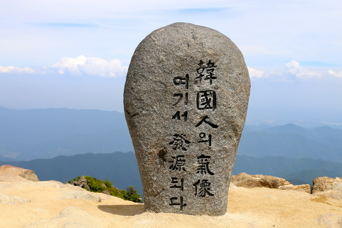
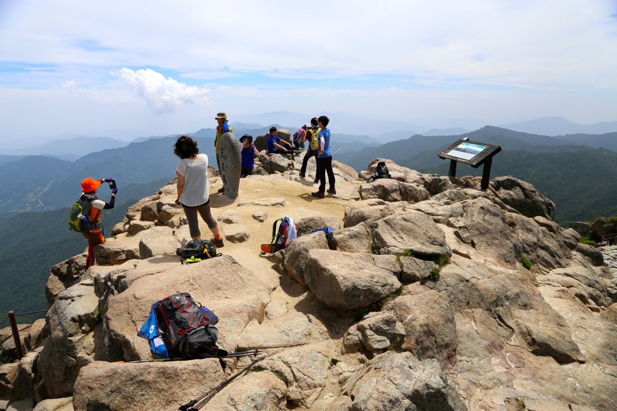
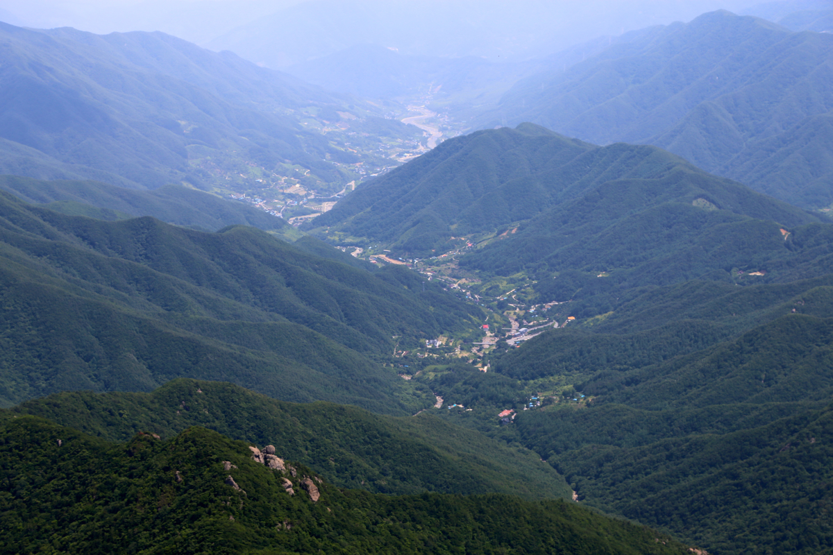
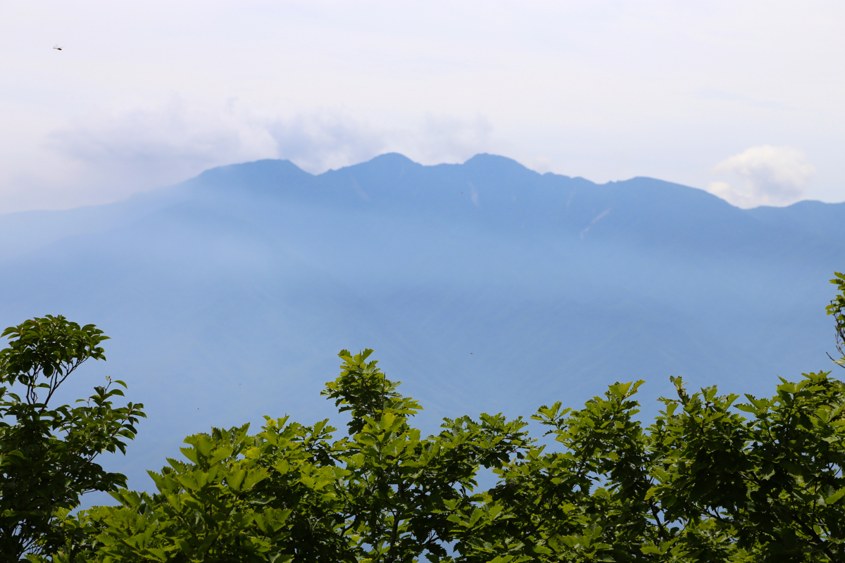
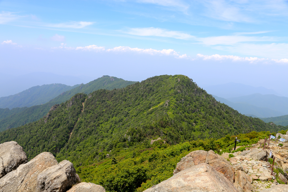
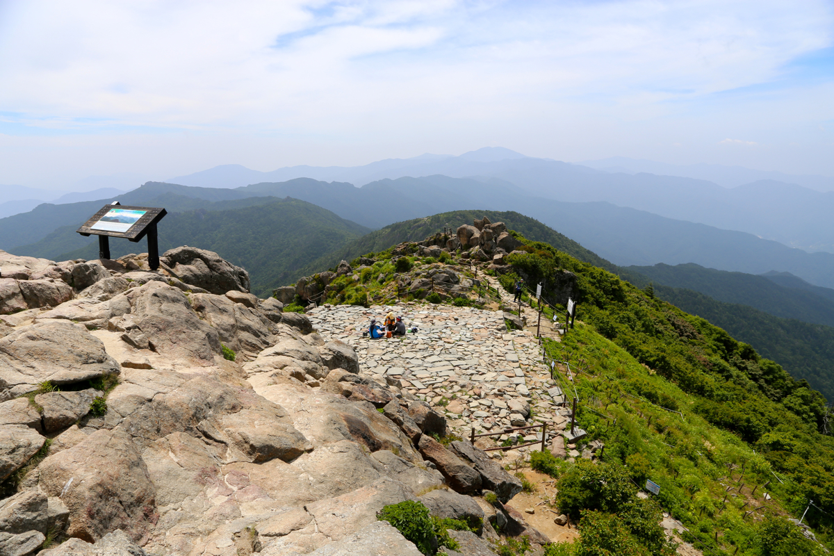
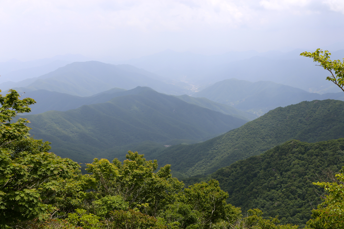
Location: North 45.17848, East 141.24217 (GPS at the summit)
Difficulty: YDS class 2
Climbed July 3. 2015.
Information:
How to get there:
Fly to Jinju, the airport is south of the city and named Sacheon.
From Sacheon, travel north on Hwy. 3, alternatively on road 35 (expressway).
Exit onto Hwy. 20 and go west (left) on this road. In order to reach the
trailhead with the shortest trail to the summit, follow signs for Jirisan Mountain.
I chose a different trailhead. In order to reach this, follow Hwy. 20 through a small,
but busy town, drive across a bridge then immediaely turn
right onto Hwy. 59. Continue north on Hwy. 59 approximately 7.2 kilometer.
Next, turnn left on the road that clearly serves
a valley going west. The location of this intersection
is N35.34122, East 127.83932.
Drive this road about 9 kilometer to near its end (paved all the way, but narrow in
places). There is (obvious) parking on the left side. This location is at
N35.37242, E127.76908, elevation about 705 meter.
Here is a summary of climbs from this trip in the summer of 2015.
Route description:
Note that this route is not the easiest (shortest) to the summit. It is, however, a very nice
hike that requires a full day (18 kilometer, 1600 meter of vertical gain)
for strong hikers. There is a shelter on this route, the trip can
therefore also be split into two days.
The trail starts out (sign posted) at the end of the parking going directly left, ie. do not
follow the road that continues uphill. Contouring the hill, you immediately reach a nice
suspension bridge crossing the main river. The trail now continues uphill, nicely made with
stones and wooden steps. The trail generally keeps this high standard for the first
3 kilometer, where there is a trail fork. Go right here (sign posted). From this point, the
trail gets a bit rougher often quite rocky. There are several nicely built (smaller)
bridges as well as some sections with stairs. You subsequently will reach the shelter, a pretty
big hut with solar panels on the roof. The shelter is located at
N35.34859, E127.75063, elevation about 1420 meter.
There are several places along this section where you
may collect drinking water. Get water for the last part of the hike at the shelter.
The trail continues left here. The route now climbs a pretty long, but very nice ridge that
may be followed all the way to the summit. Part of this ridge is more rugged, but here staircases
are in place going both up and down across local humps. From this area, you
will see the main summit
ahead and somewhat left, also observing
its subsidiary summit (right) that must be traversed.
This peak, Jung-bong has prominence of 65 meter and provides a fine view of
Cheonwangbong across the connecting saddle.
The summit has a nice official marker
with slightly higher rocks at both ends of a short, but pretty
wide ridge.
Comments:
I travelled from Haneda airport (Tokyo) the day before. arriving after dark in Sacheon, it turned
out that the local taxi drivers did not know the location of my hotel, Zzam located pretty nearby.
Not a single word of English spoken, we sorted things
out and I arrived at a rather strange motel.
Nobody expected me and they had no other guests. My reservation was through Booking.com.
Again, monumental language problems, but how hard can it be to understand what a person with luggage
arriving at a hotel needs? I finally got a nice room on the third floor.
Next morning, a taxi back to the airport where my rental car was now waiting, they closed early in the
evening preventing me from getting the car on arrival.
The lady at the tourist information counter in the airport (actually spoke a few words of English!) told
me where to drive and gave me a rough map of the area. Following this guidance led me to my trailhead,
I realized a bit late, that if I had followed road signs for
Jirisan mountain instead then a different trailhead would have been found.
The local signs said 8.8 kilometer, I figured this would still be a quite reasonable, full
day hike.
I left my car at 1035 and arrived at the shelter after
about 1.5 hours. I took a 10 minute break there in order
to look around. As it turns out, this shelter is about half way in times of hiking time. I continued along
the ridge and made the subsidiary summit 3 hours after leaving the car, then the main summit at 1355.
Quite a few people on top,
most of them arriving from the other trailhead. I walked around a bit, drank
my water bottle and enjoyed the view.
Leaving at 1415, I made a brief stop at the shelter to fill my
water bottle, arriving back at my car by 1725. Thus, almost 7 hours when all stops are included.
I was actually quite tired, 18 kilometer and
about 1600 vertical meter had indeed left its mark. I did not really feel much for driving and looking for
possible hotels. Thus, I rather walked uphill the few meter of road that remained and asked some locals
if there were any possibility to sleep and eat right here.
They pointed to the house at the very
end, I walked upthere and asked using only sign language. Immediate luck, they were positive to serving
dinner and providing accommodatio.
Shortly, I was seated for a Korean family style dinner.
They served me food on 13 different plates, way
too much, but all quite tasty. A large bottle of pale ale did wonders. At 2000 it started to get dark and
by 2015 it seemed ok to thank for all good food and hospitality. We agreed on breakfast around 0700.
After a big breakfast, I departed
while the owners waved goodbye.