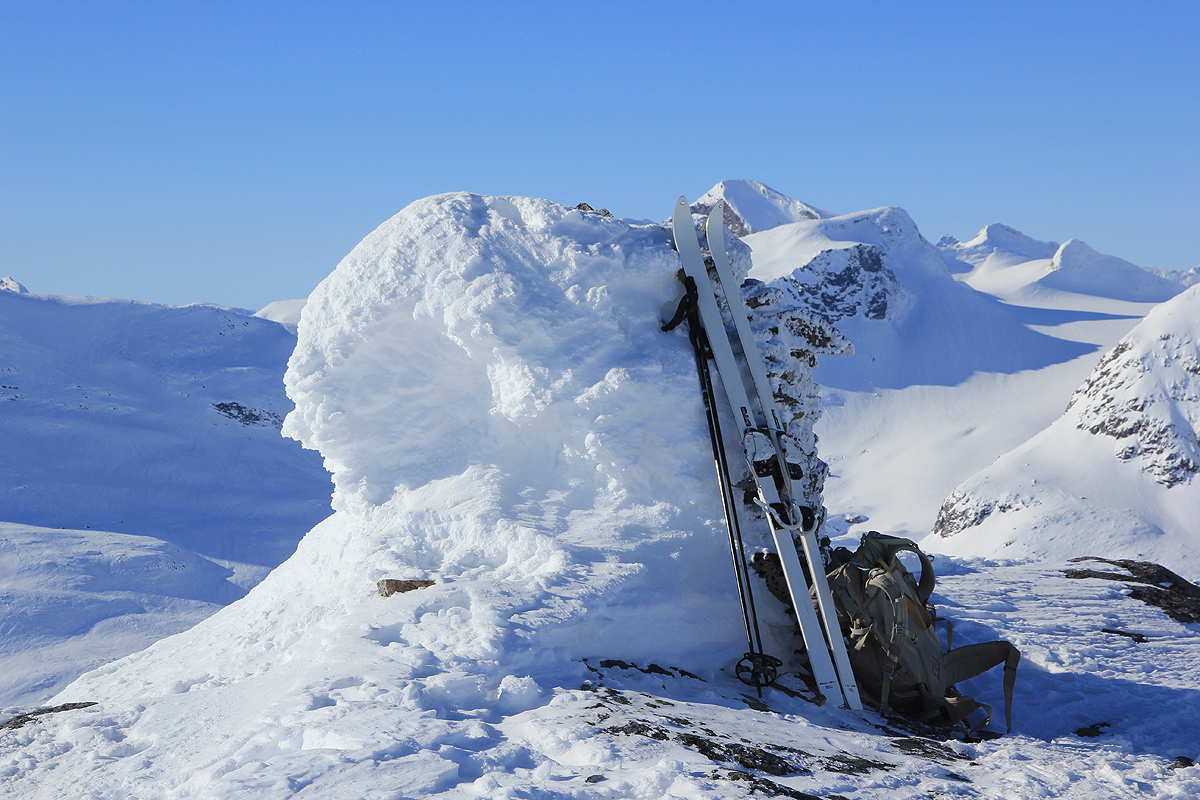
Location: North 61.41713, East 008.28139 (GPS on the summit)
Jotunheimen, Norway
Climbed March 10, 2013
Difficulty: (YDS) class 2.
Information:
How to get there:
he normal starting point for a trip to this mountain would be the DNT hut Fondsbu,
location N61.37516, E008.29763, elevation about 1075 meter. Fondsbu can be reached by car from
Tyinkrysset, the side road that runs to Årdal from Hwy. E-16. This road is only open in
the summer. In winter, there is snow-mobil service to Eidsbugarden (where Fondsbu is located)
from a parking area near the lake Tyin (just off the former mentioned road to Årdal.)
Route description:
From Fondsbu, head up the valley Mjølkedalen, then follow the drainage that runs up to your
right when this valley ends. Follow the drainage up to more level terrain. You will see
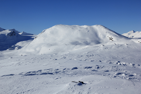
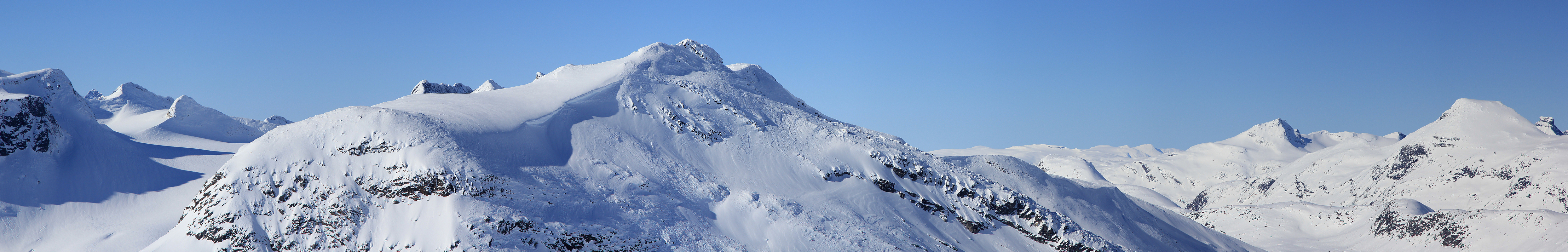
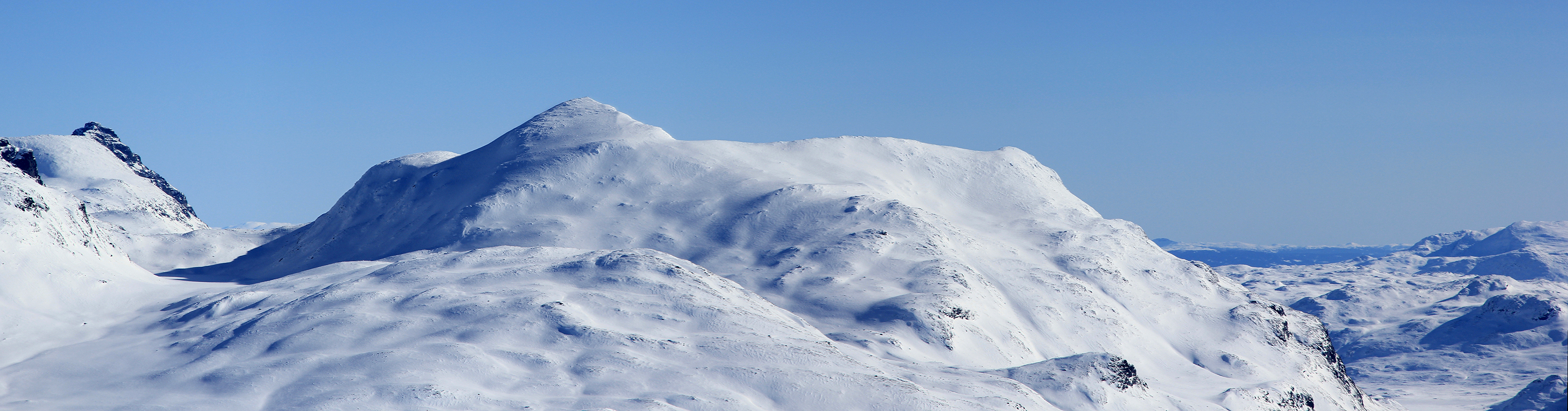
Snøholstinden straight
ahead and you will get Høgbrøthøgde on your
left hand side. Continue up this drainage until you have passed the last lake at elevation
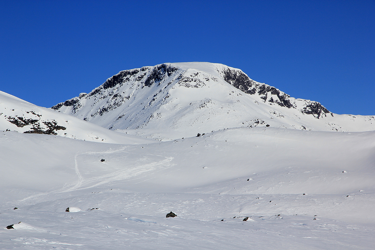
1551 meter. Now keep left and turn onto the east ridge of Høgbrøthøgde, the
mountain levels out above the ridge. Continue across
easy terrain to the cairn and highest
point at the far end.
Trip Report / Comments:
I attended a very nice birthdayparty for Per Ove Oppedal at Fondsbu the
previous evening. Naturally, this caused a late start.
The very nice person that runs Fondsbu, Solbjørg, told me that my target mountain
was among her absolute favorites.
The weather was
near perfect. Starting at 1030, I had a nice ski to the summit arriving there at 1300.
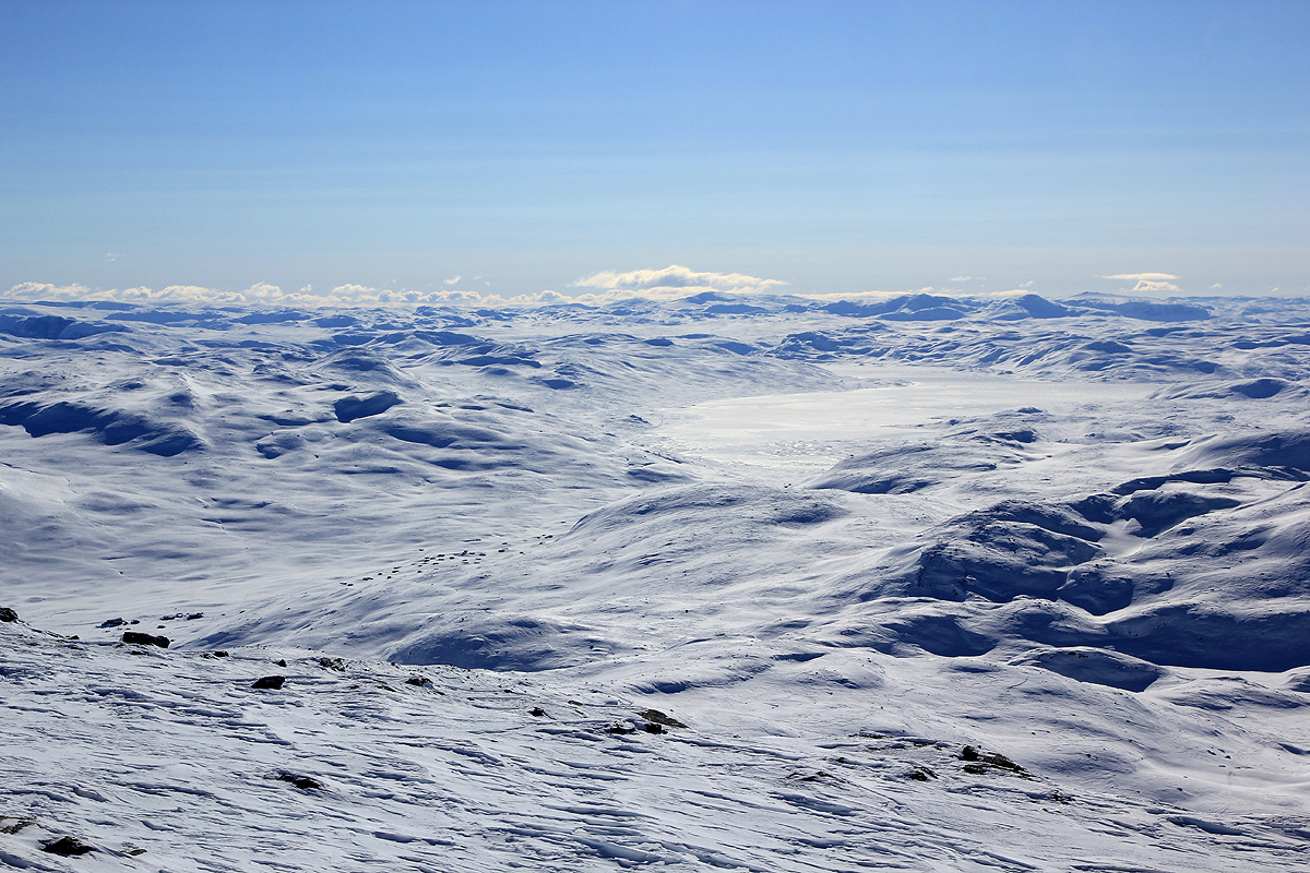
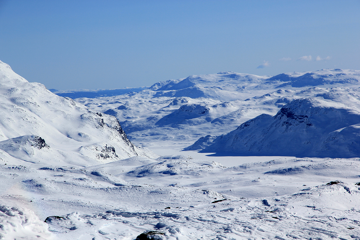
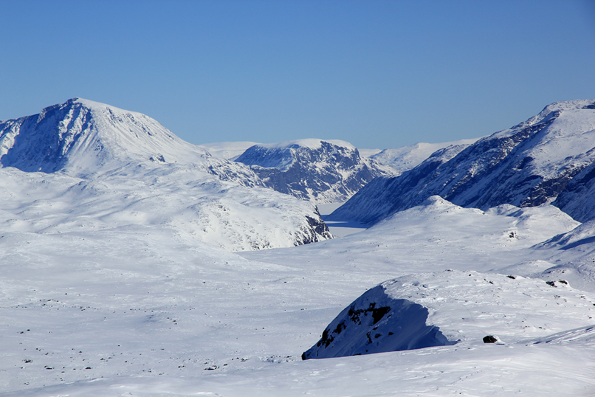
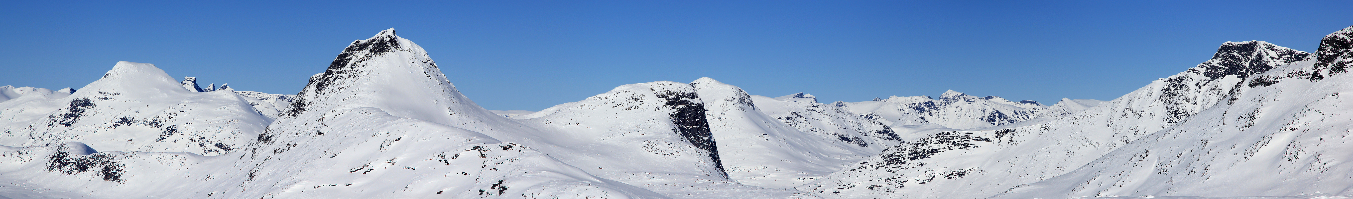
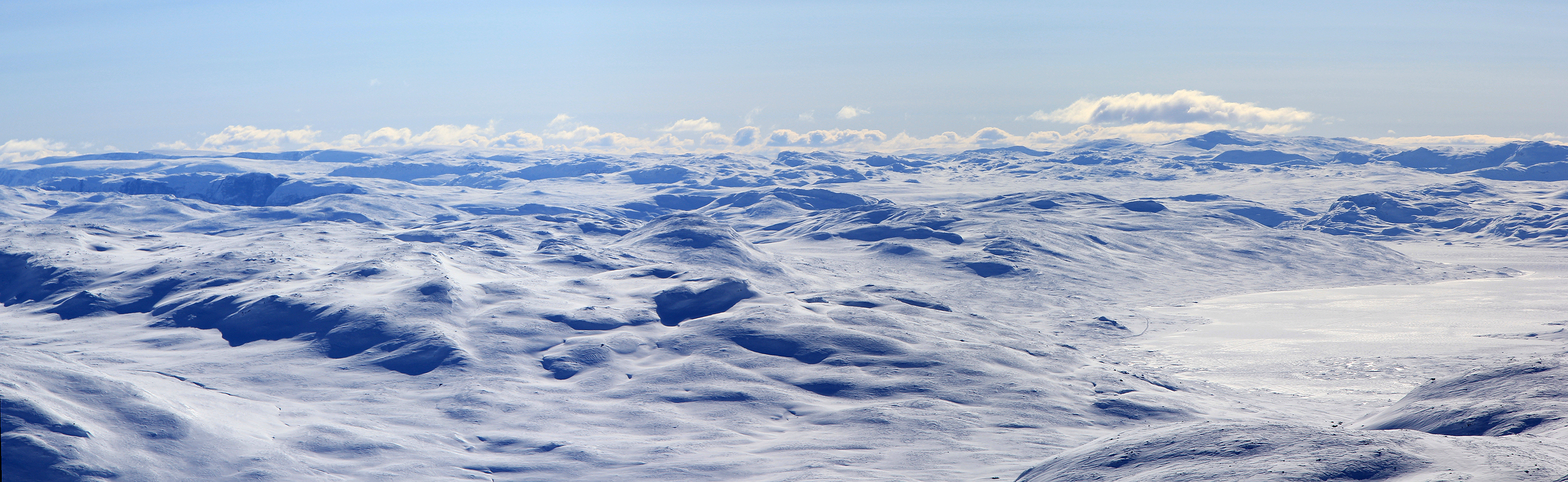
From this summit, one can see the three big lakes, Tyin, Bygdin and Gjende.
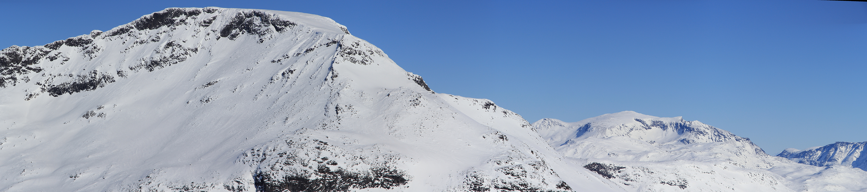
Leaving at 1310, I skied back down, then across to the mountain Høgbrøtet
at 1420, before returning to Fondsbu at 1530.