How to get there:
The various mountain roads in this area do not all connect, so it
is important to access the proper toll road.
Drive to Ryfoss on E-16. Exit (south) left (if coming from Oslo), at location
N61.13717, E8.82278. Make a right on Nordabergsvegen, then turn left on
the mountain road (toll a bit up the road) at location N61.12741, E8.81822.
Follow this road with pretty obvious choices at road forks, in order to
arrive at the trailhead,
location N60.99818, E008.75150, elevation about 865 meter.
Route::
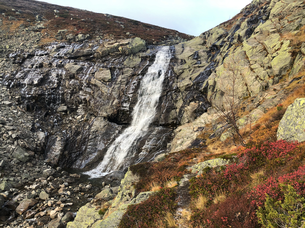
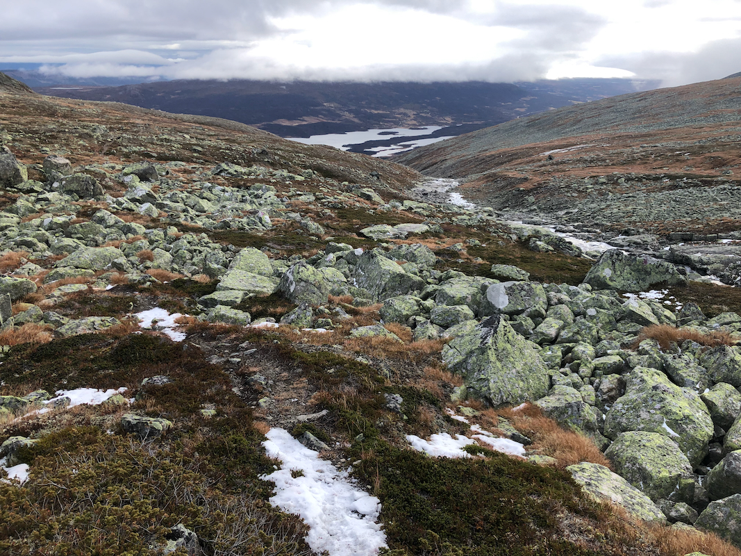
Follow a nice trail from the trailhead and uphill. The trail stays
on the right hand side of the small river that forms
a nice waterfall part way up the hill.
The trail stays nice until the vegetation
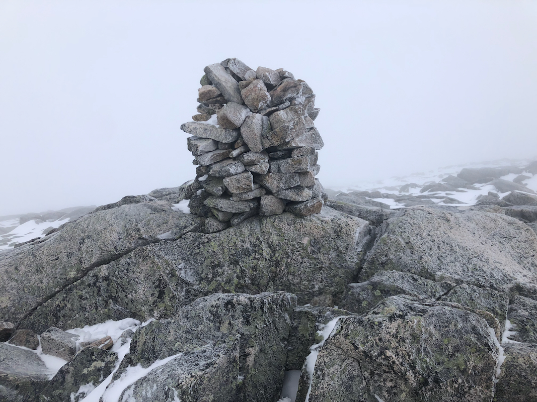
becomes limited, then more rocks to negotiate. Continue following cairns
into the small valley that quickly ends. Ascend to your right here, then
turn left higher uo and make an ascending traverse to the highest point marked
with a pretty good sized cairn. Comments:
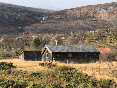
I had been climbing Saukampen, my plan was then to travel to
the self-serve hut Matkista (at the lake with this name). The next morning, take the car around
the lake to the trailhead for this climb.
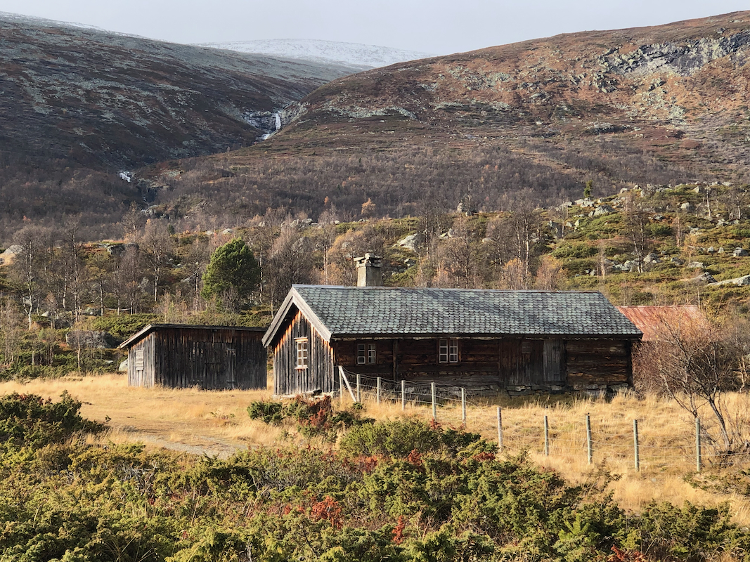
Things turned out a bit differently than expected. First, the hut was not a DNT hut, but a local
hut, to stay there was free of charge. However, the hut had no blankets and no firewood. I did not
bring a sleeping bag, thus needed a warm hut. Fortunately, both and axe and a saw were there, so
I got a fire started in the woodburning oven. Soon the small hut was warm enough for a reasonably
comfortable night.
The next morning, I hiked back to my car and started driving north to the trailhead. BIG SURPRISE!
there was no connecting road! I really should have taken my hiking gear to the small hut, then
started my hike from there. This would only have added about 5 kilometer in total. Too late at this
point, my drive got me back down to the Valdres valley, then a new toll road ascending, more than
50 kilometer and one hour of extra driving.
I finally left at 0845, the hike was nice until the small valley
ended. From there and to the summit cairn I had essentially a white-out.
Snow on the ground and very limited visibility. I arrived at the cairn
by 1045, so 2 hours up. After a short break, I descended the same way,
arriving back at my car in 1:35.