Location: North 62.13098, East 007.06105 (GPS on the summit)
Difficulty: YDS class 2
Climbed on September 2. 2017.
Information:
How to get there:
Locate the road connecting Geiranger with Eidsfjord. The first section
of this road (from Geiranger) is called Ørneveien, Eagles road.
This road tops out in a pass slightly higher than 600 meter. There is parking
on the right hand side. Park here at location N62.13579, E007.18547, elevation about 630 meter.
Route description:
Cross the road and continue along a small farmers road.
This road is closed (to traffic) by
a gate. Follow this road to its end at Haugset. Continue along a trail, well signed
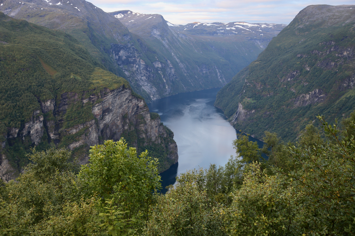
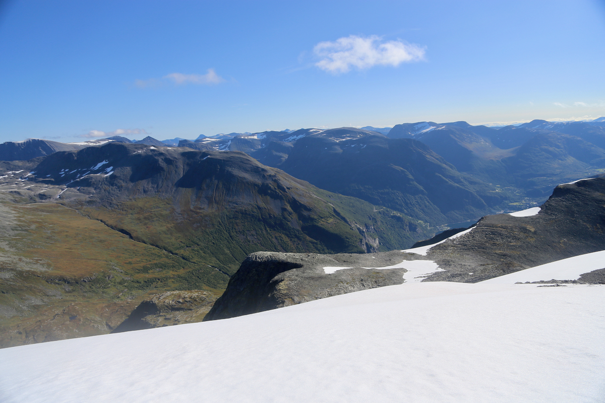
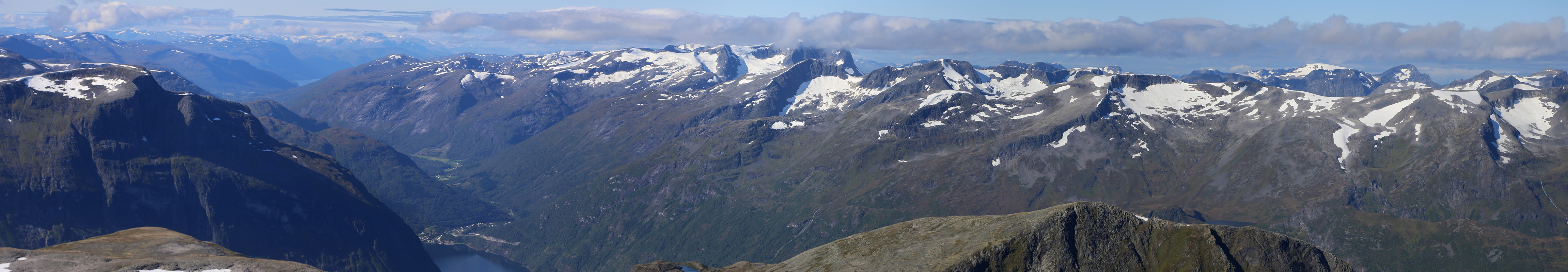
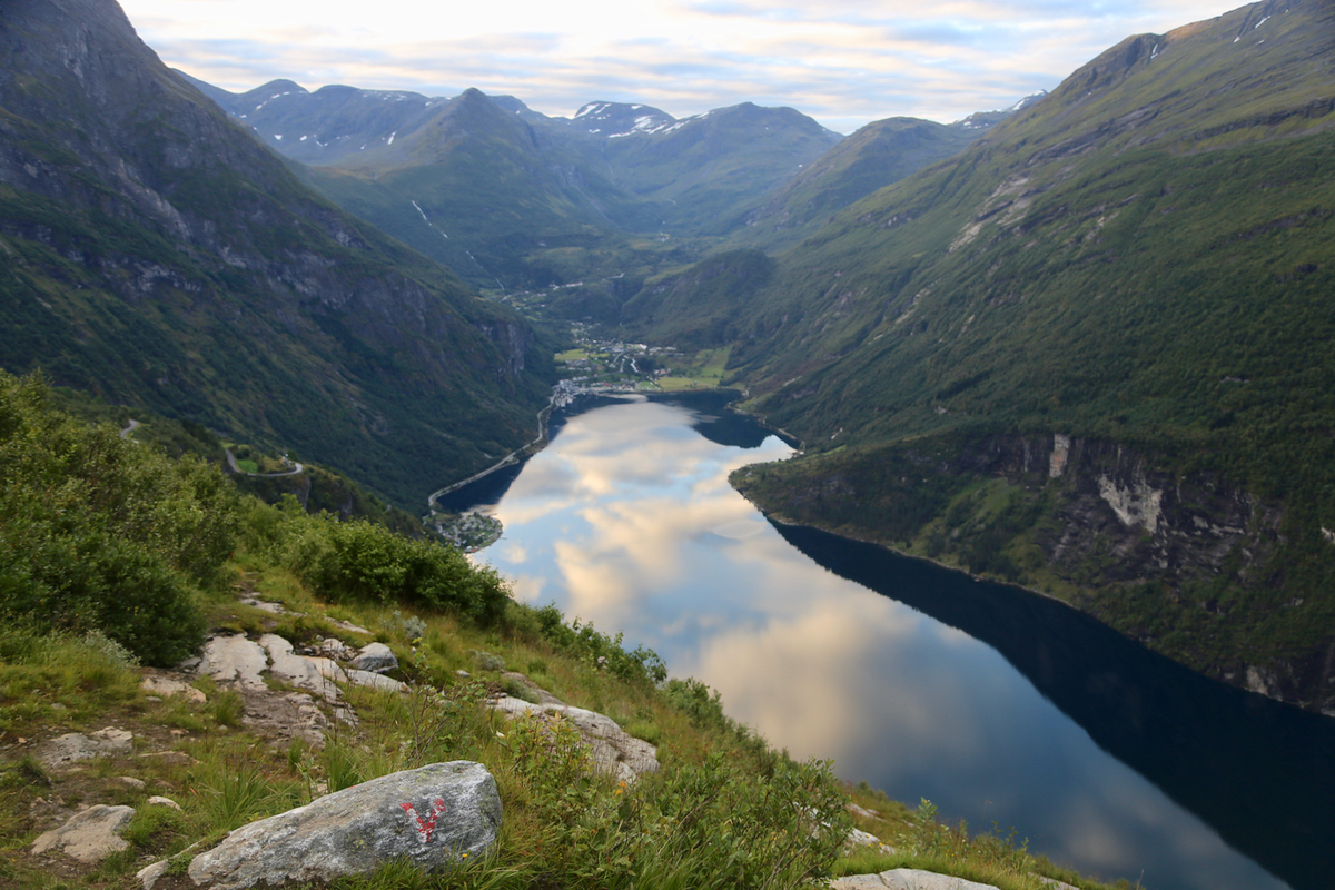
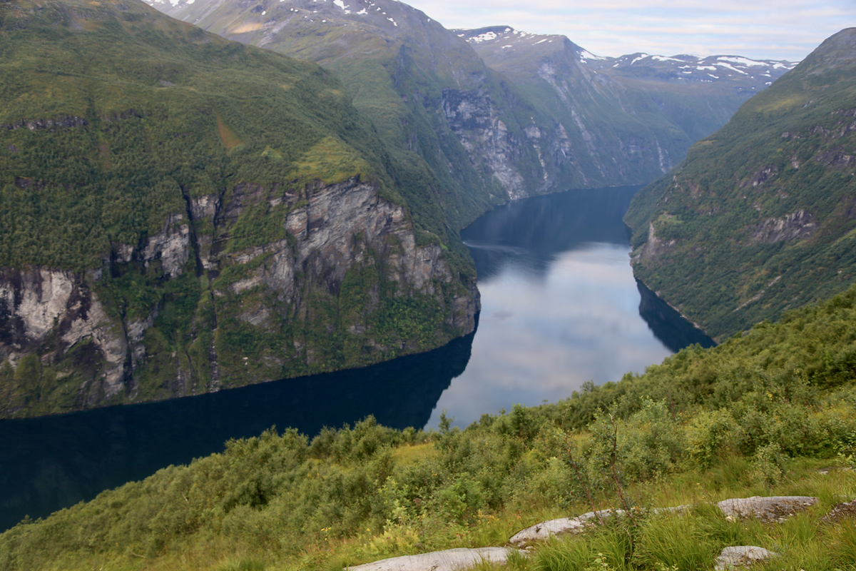
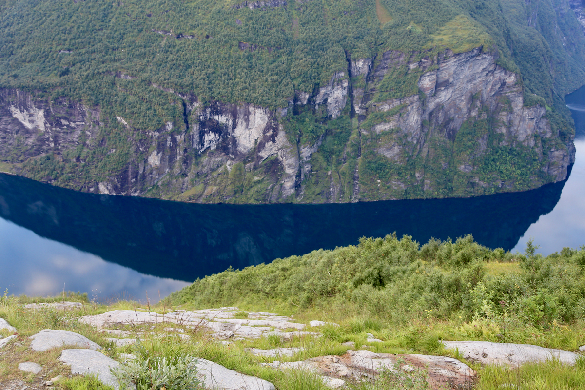
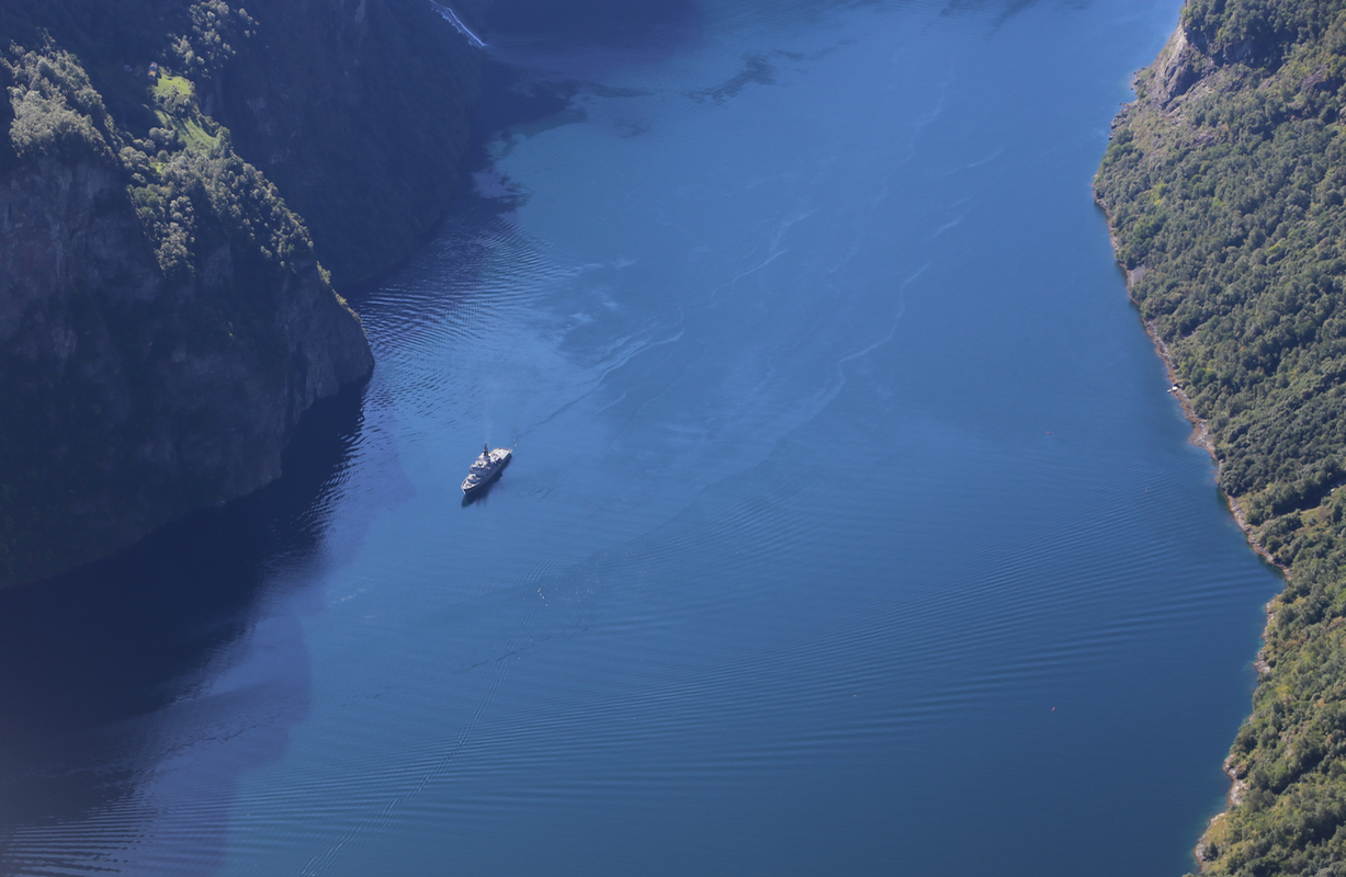
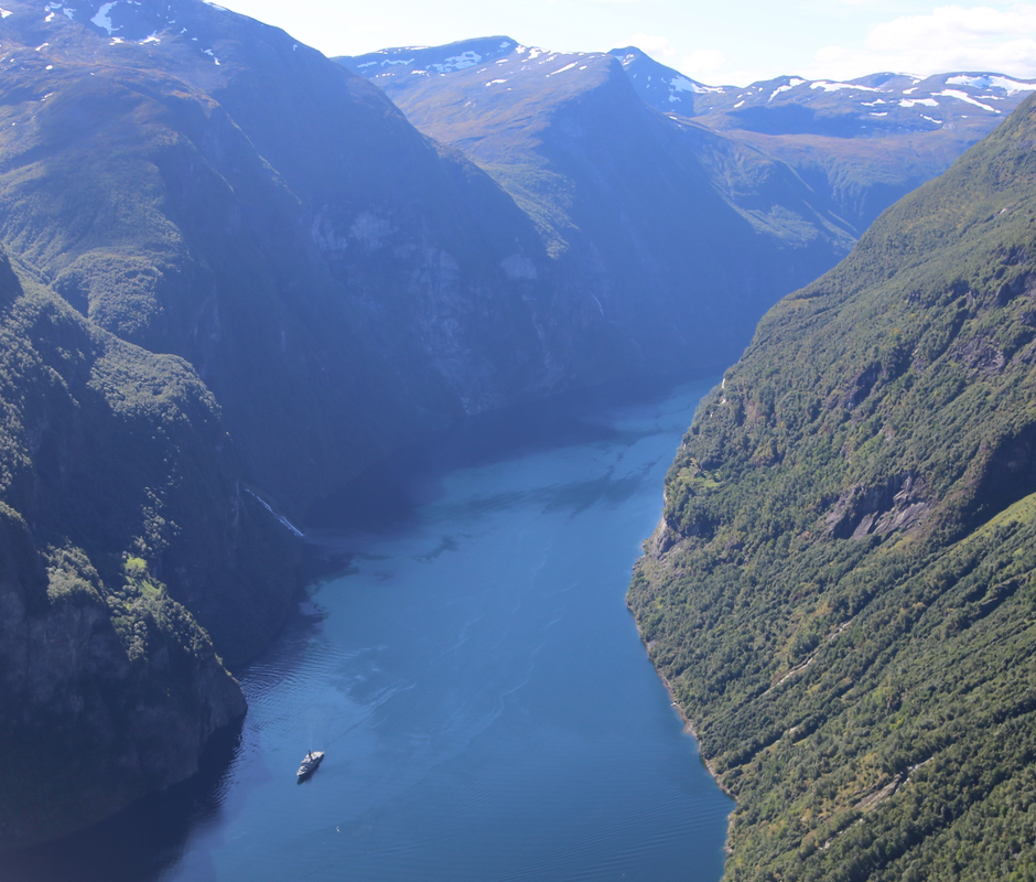
for Gomsdalen. This trail runs high above
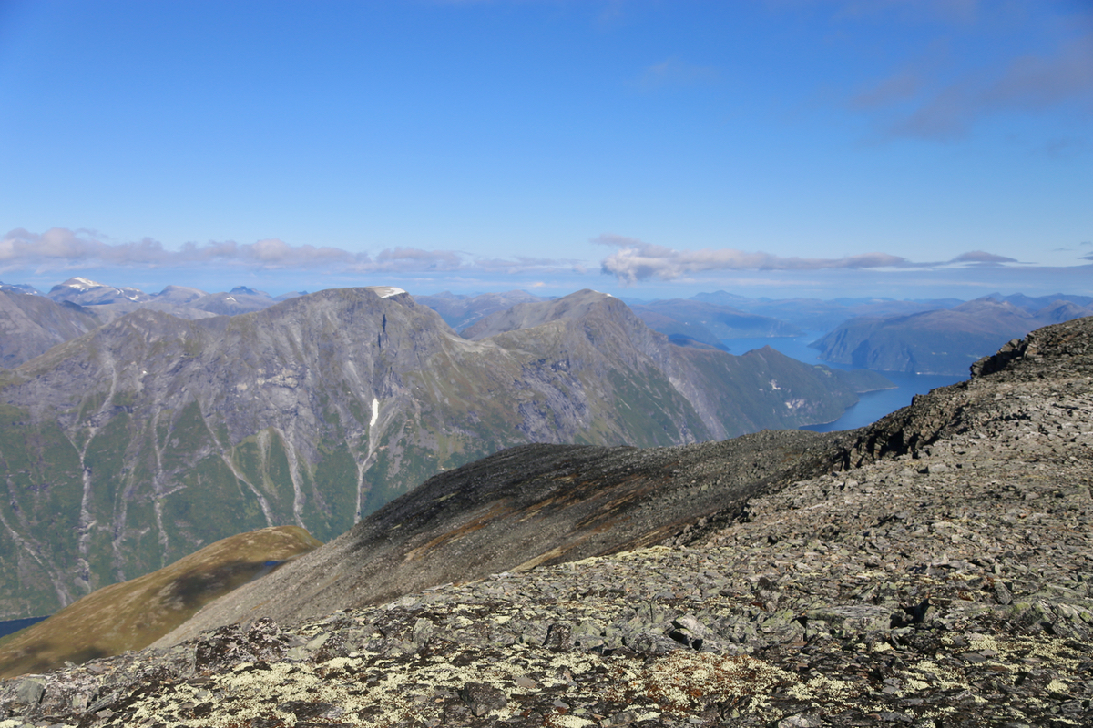
the spectacular Geiranger fjord, the view
is very good. As the trail traverses the steep hillside,
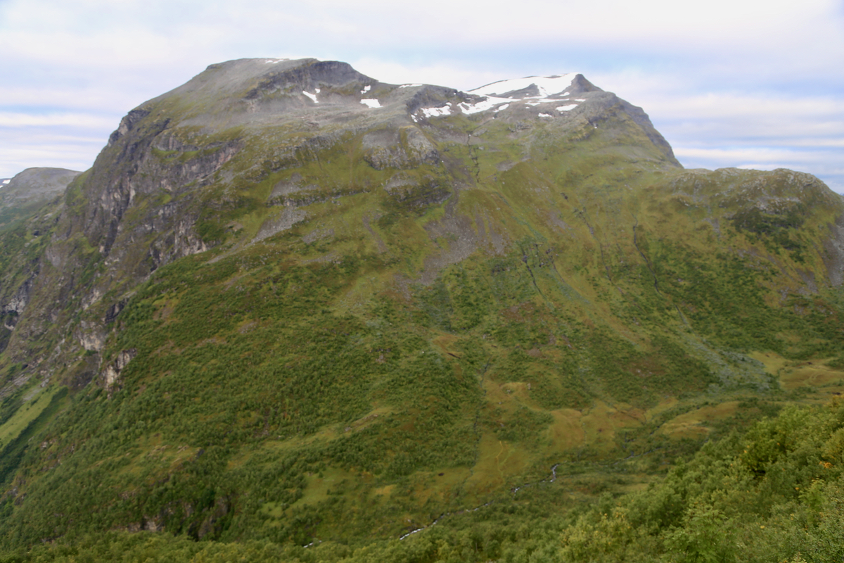
Geitfjellet will start to
appear in front of you.
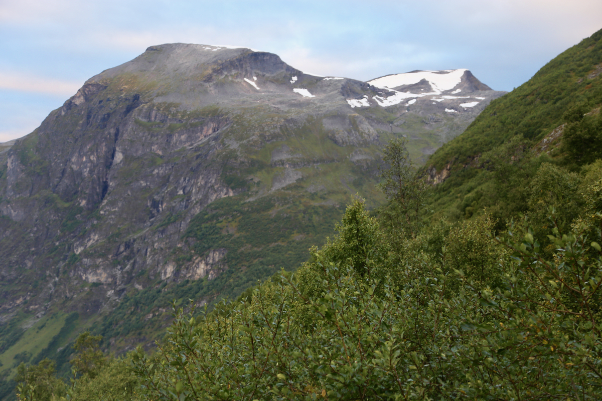
The trail climbs to almost 1000 meter before
descending back down to
near 600 meter in Gomsdalen.
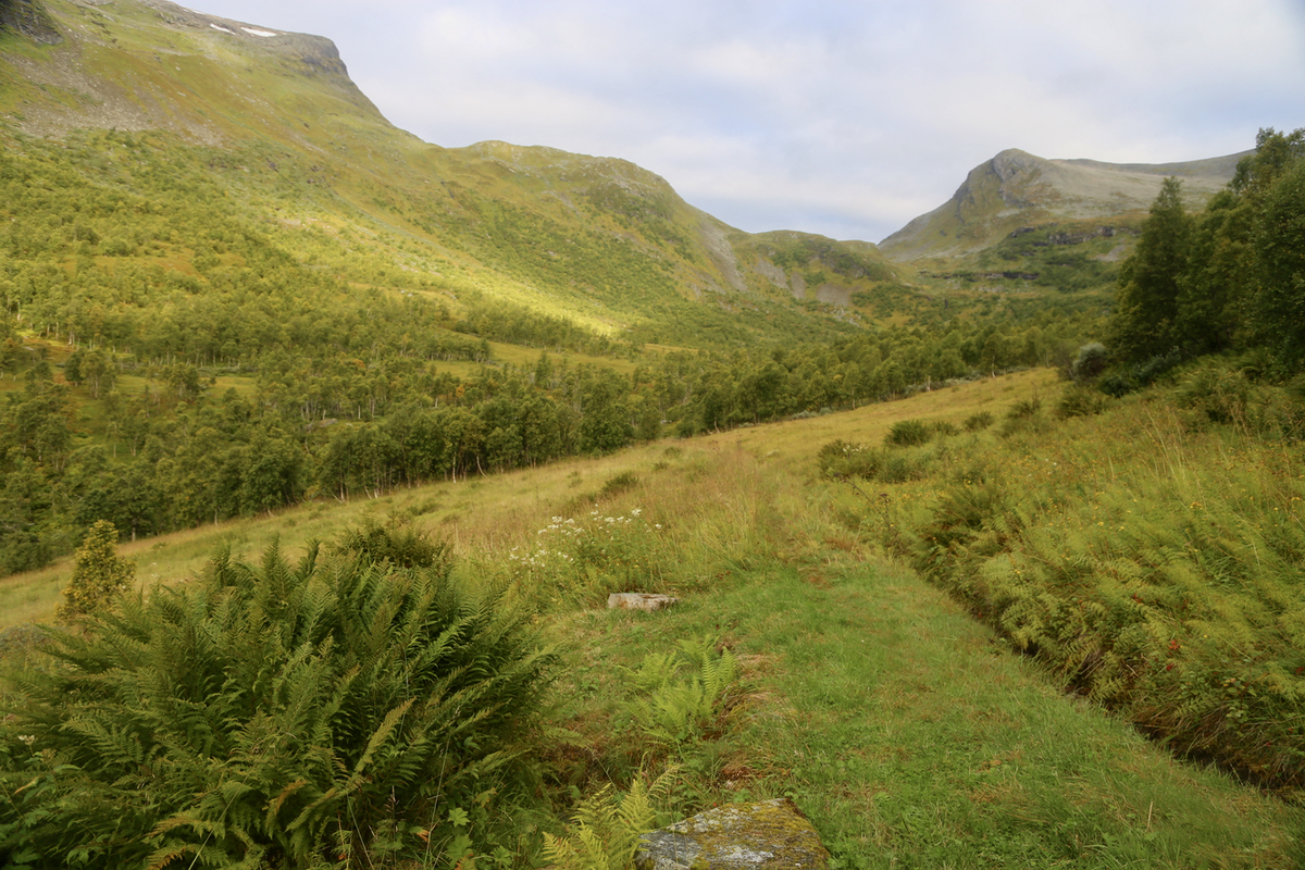
From here, the route is off-trail. Cross
the local river on an old bridge (impressive, to
move these rocks must have been hard/heavy work). Aim for the slope going up in the
middle and staying clear of trees and annoying vegetation.
There is a small creek providing nice drinking water,
this creek may be followed on the left side
leading up to an area that may have snow.
The patches (sometimes large) of snow
on the upper part of the route. This snow
is generally nice to walk on, but one should make certain that the conditions are safe when
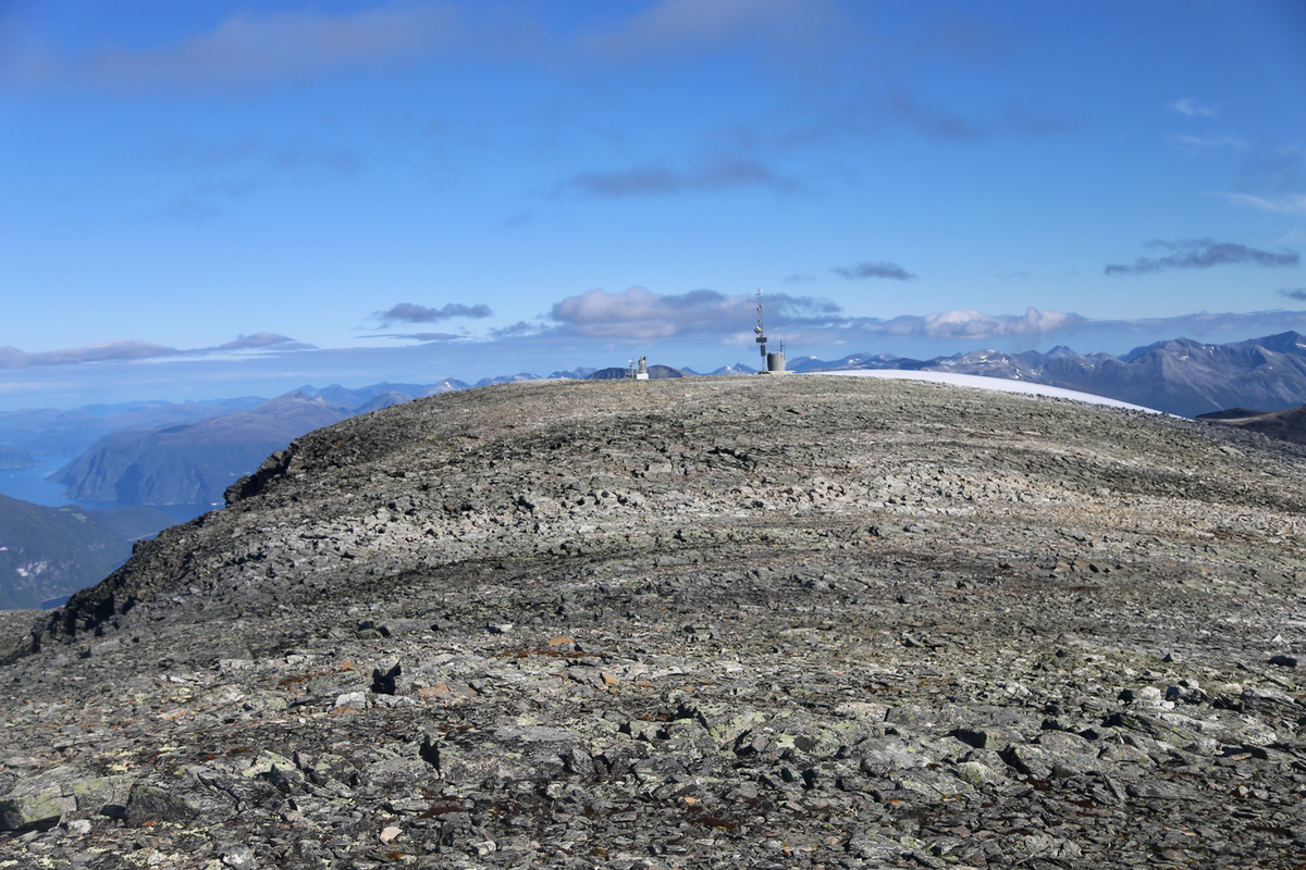
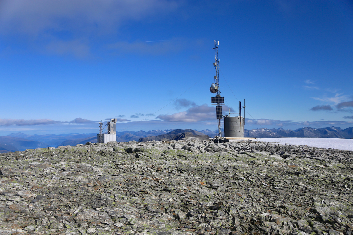
walking on sloping snow. Follow the snow all the way to the summit. The summit is a broad
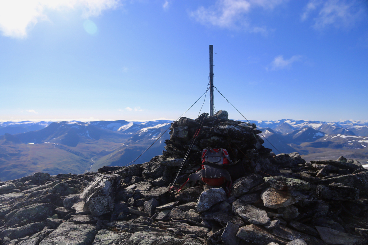
plateau with antennas at
one end and the cairn at the opposite end.
Comments:
I slept at the trailhead and started out around 0630. With several stops along the way to
get pictures of the famous fjord, I arrived in Gomsdalen after 2 hours.
The old ruins from
more active farming in the past were clearly visible. Continuing up the hillside of
Geitfjellet was quite easy,
essentially grass almost to the point where I could transfer to
snow. I arrived at the summit plateau at 1045.
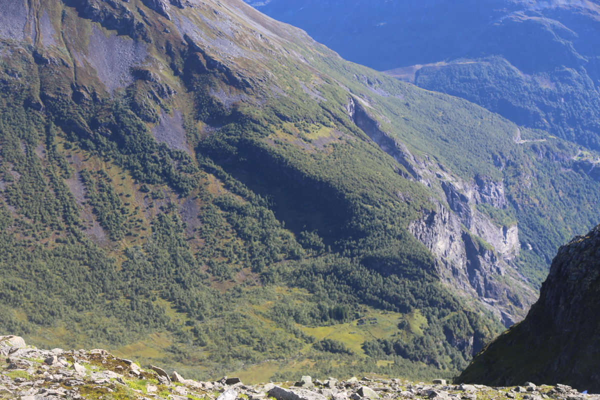
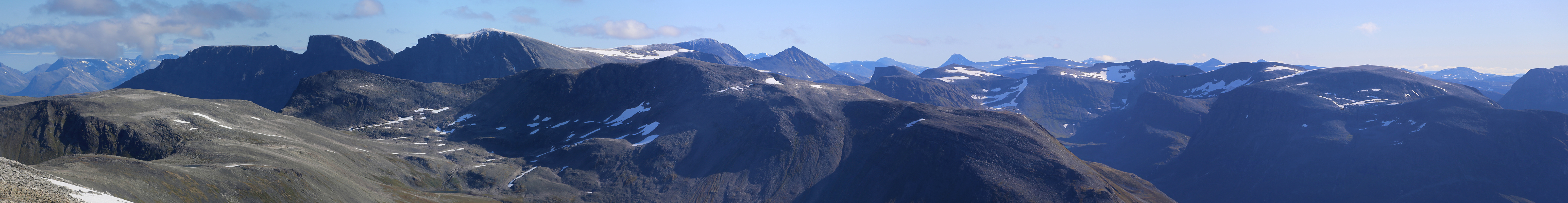
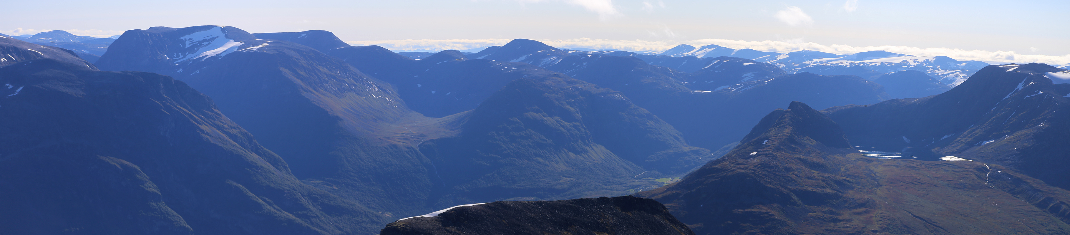
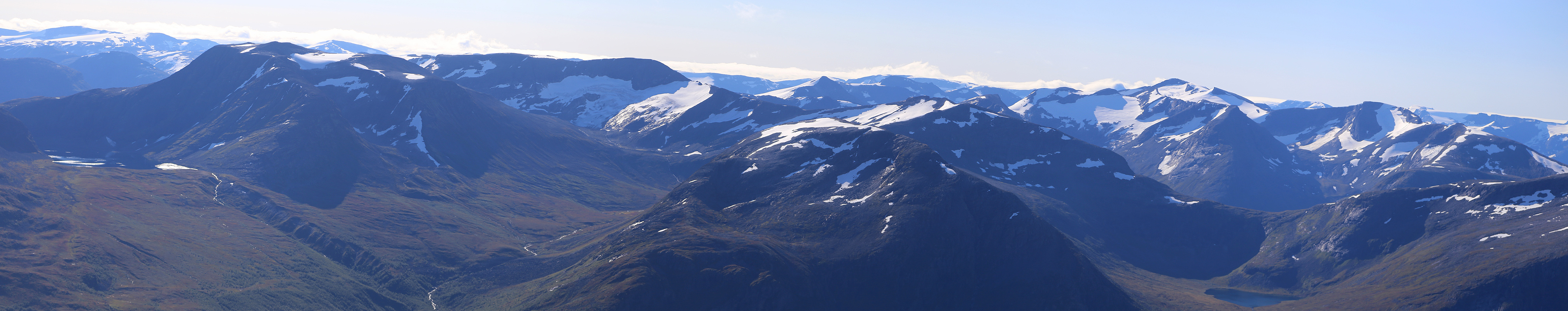
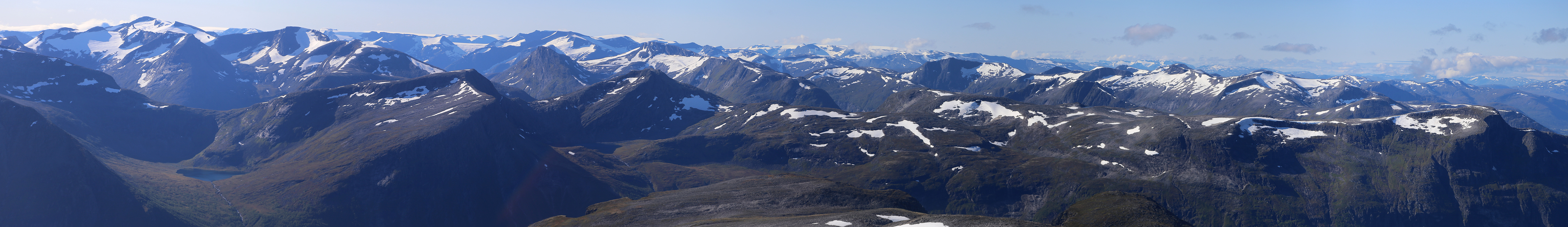
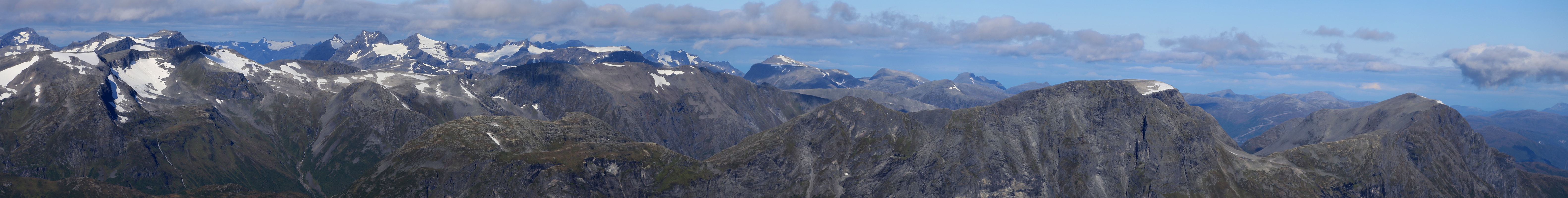
The view all around was quite good. Leaving after
30 minutes, I had an equally pleasant
walk back to my car, arriving there at
1420, so 7:50 altogether.
I drove down to Eidsfjord crossed with a ferry, then crossed back to Stranda with
a second ferry. My goal for Sunday being Skruven.
