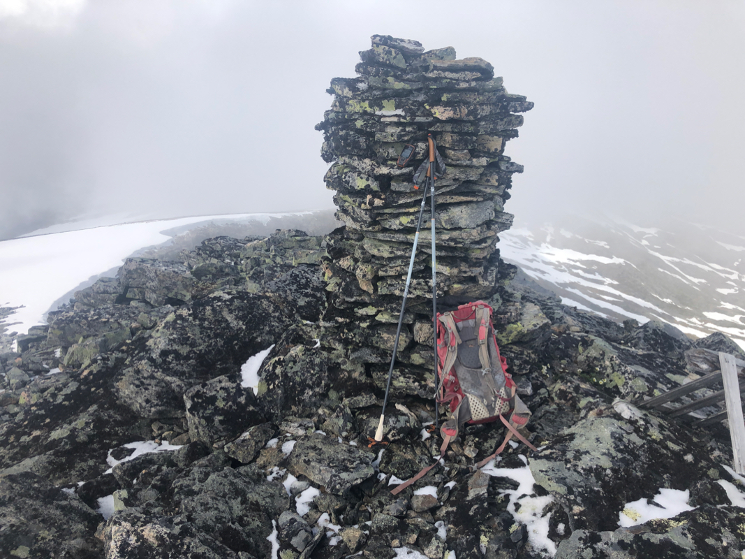
Location: North 62.41402, East 008.07161 (GPS on the summit)
Climbed July 3. 2020.
Information:
How to get there:
Locate the road E-136 connecting Dombås and Åndalsnes. From Dombås, first drive
to the ski area Bjorli. Continue another 4.5 kilometer, then look for a turnoff to your right, seemingly to
a parking lot. If you cross the bridge with the railroad you have gone too far, turn back. Continue on the
road that starts at this parking lot, keep right at a few forks, you will (after a bit) take a right fork
with a sign saying that this road is a "anleggsvei", continue on your own risk. The road is actually quite
good. Follow it until you find parking off the road just south of the lake Storvatnet. This is the trailhead.
Route description:
Hike west on the south end of the Storvatnet lake, cross the creek, this can normally be done by
rock hopping without getting wet. Continue north along the lake approximately 1.5 kilometer, then
ascend gradually to gain the small valley Tubotn. From here, ascend north to the summit.
Comments:
I had breakfast at my mountain cabin in Lillehammer, then drove to Dombås and onwards to the trailhead.
However, at location N62.35516, E008.12029, a few kilometer before the intended trailhead, the road was blocked by a big
snow bank. I parked there and started hiking at 1230.
It took me 2:49 to reach the summit. A substantial part of the
ascent was on good snow. The weather was cold, but not bad most of the way.
I left after a 10 minute break and returned to
my car in 2 hours. The last 5 minutes of the hike being in a pretty interesting "snow storm", I could hardly see my car
and the ground turned white.
I was headed towards Trondheim, but decided to climb a second peak, Skrommelnebba, the next morning.
