Botte Donato
- Botte Donato
- 1928 m
- Primary factor 1312 m
- Italy
- Location: North 40.83874, East 014.93830 (GPS at the summit)
- Difficulty: YDS class 1
- Climbed August 2. 2017.
Botte Donato
|
|
How to get there:
The starting point of reference should be the city of Cosenza, located in a broad noth-south
valley where the main autostrada A3 also runs.
Locate Hwy. SS107, also called E846, running from Cosenza to Crotone. Take this road and exit onto a smaller
road at location N39.34446 E16.40613. In approximately 2 kilometer, this road connects with Hwy. SS648. Turn left
and drive to N39.33483 E16.39895, where you fork left. This road runs all the way to Botte Donato (see below for
further details).
Route description:
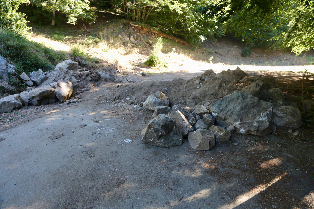
The road had been deliberately blocked for normal vehicles at location
N39.28207, E016.44874, elevation about 1870 meter. If this is the case, just park here, the
remaining distance to the summit is very short.
Hike along the road until a smaller road forks left, obviously heading for the summit.
Take this road uphill until it ends, then continue the last few meter on a rougher track.
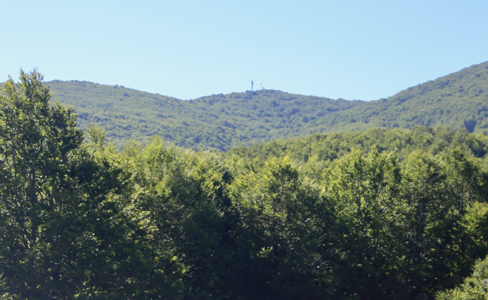
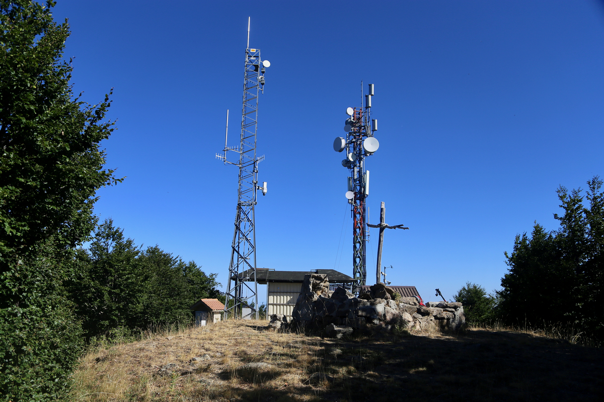
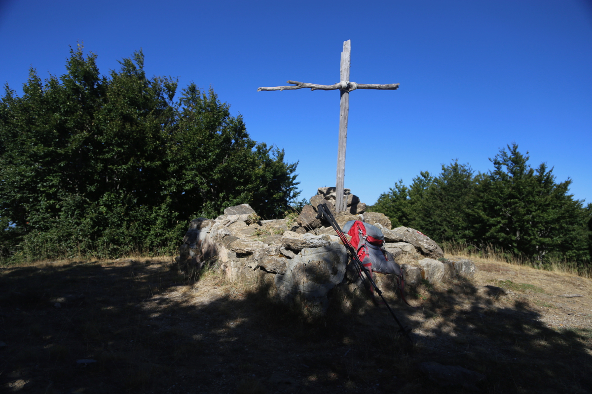
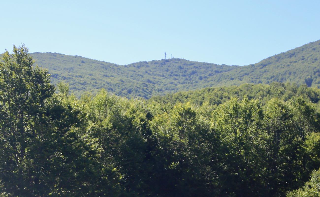
The summit has several antennas,
but also a small cross located at the highest point.
Comments:
I left early, since this would be quite a long excursion south.
After some slight navigational problems, Hwy. SS107 was closed in the middle of nowhere
with no signed advice to travellers on how to proceed, (this could perhaps
only happen in Italy?),
I parked at the road block at 0855. The hike to the summit
from this point took about 15 minutes. After the normal pictures, I returned to the car.
The entire trip had taken about 30 minutes.
I continued back tto Cosenza with ample time to also climb
Monte Cocuzzo.