How to get there:
From the Managua area, go west to Hwy. 1 and locate Hwy. 12 heading north via the town
of Leon, then north towards the town Chinandega. Go right on the big traffic circle just
as you enter town, it is named Rotonda Los Encuentros. Turn right again at location
N12.63482, W87.11926. Follow this road until the pavement ends, then continue a bit
more to location N12.65549, W087.05376. In order to continue driving to Finca San Cristóbal de Las Rojas,
one should have a 4WD vehicle. Alternatively, park in this area and continue on foot.
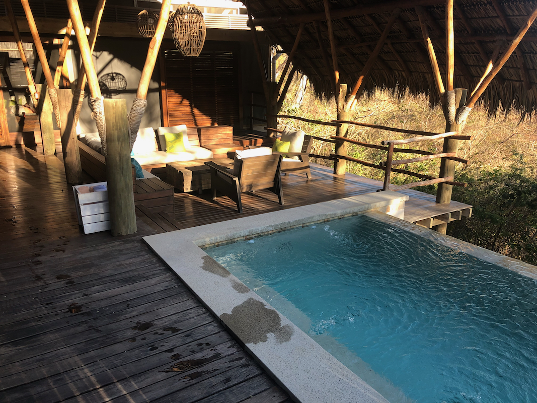
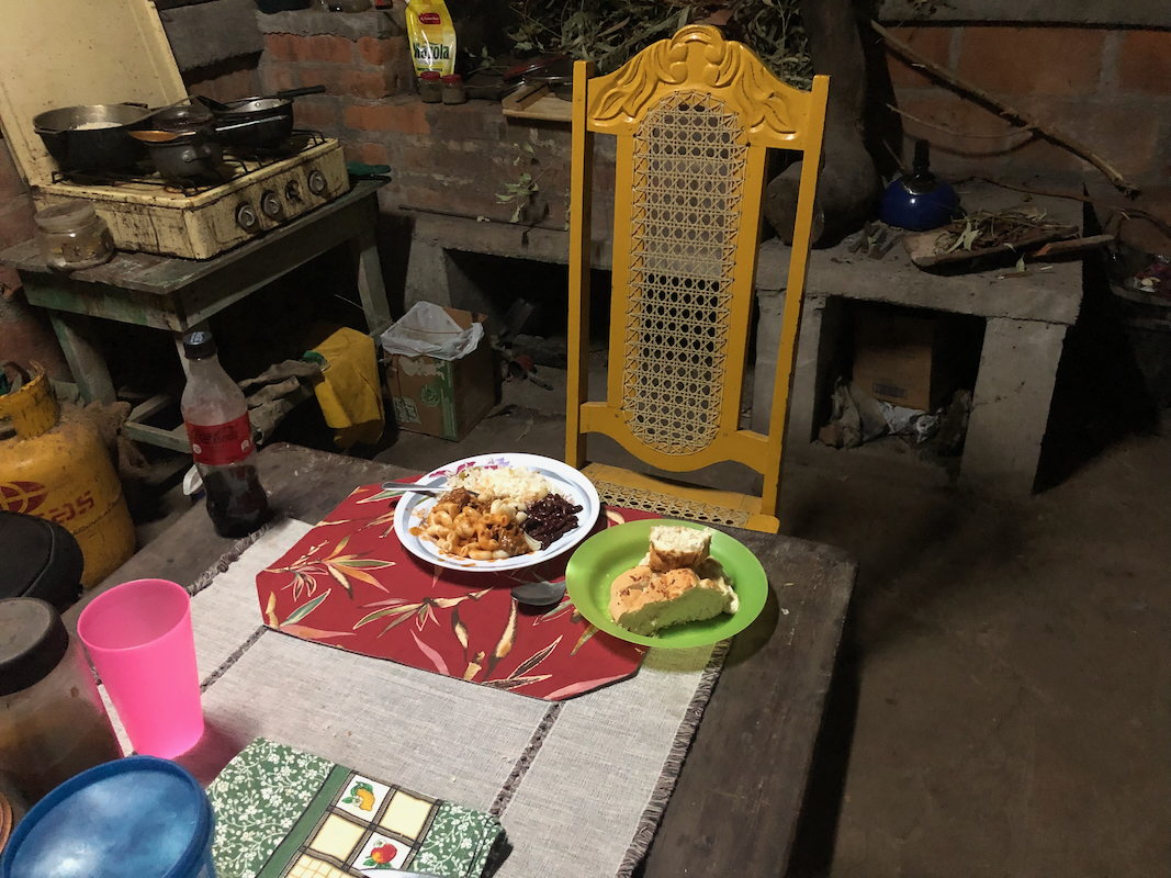
It is recommended to stay
at Finca San Cristóbal de Las Rojas,
one may also ask for
dinner to be served there. The phone number (also Whatsapp) is +505 8871 7536.
The people running this hut are very friendly and happy to help with accommodation and meals.
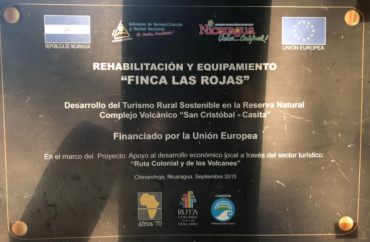
The establishment of a mountain hut here has been supported by a grant
from the European Union.
If you continue driving, then turn right at the waypoint specified above, then keep left
at locations N12.65431, W087.04979, then again at N12.65629, W087.04796 and
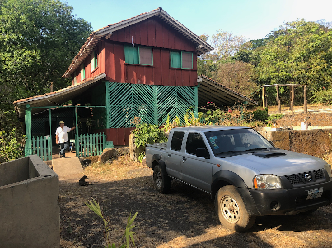
N12.67522, W087.03268. You will arrive at Finca San Cristóbal de Las Rojas, at elevation
near 700 meter, this location is N12.69648, W087.02851.
Route description:
A quick summary of the peaks climbed in Central America.
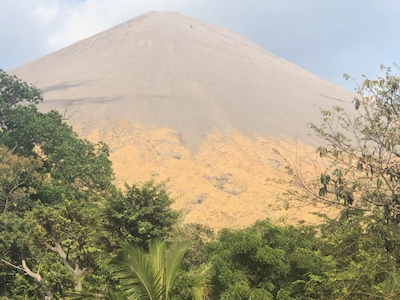
The route starts out from across the road, when seen from the mountain hut. It is marked
in the beginning, soon a single trail will lead uphill through the forest. Higher up,
the trail will emerge out of the trees and soon climb uphill on scree. One may still follow
the tracks, generally in zig-zags - all the way on loose scree. Near the top, the trail
heads more directly uphill as it follows some rock band, then at the very end, turning right
in order to reach a short summit ridge.
Comments:
Since we were staying quite far south on
the Pacific coast west of the town Rivas, I decided
that this trip should involve an overnight stay
and Finca San Cristóbal de Las Rojas was the
obvious choice. They confirmed my reservation and
that dinner would be served in the evening.
I drove up, starting just before noon, and had no problems getting there with my 4WD SUV.
After a nice dinner, I went to bed early. I wanted to be back having dinner with my wife Heidi,
thus an early start seemed like a good plan.
I started hiking at 0410, daylight arrives about one hour later. The trail/route was easy to
follow and daylight was coming as I worked my way up the scree slopes of the volcano. This part
of the ascent is clearly where one must work. Avoiding too much slipping back by placing my
boots firmly into the scree, this resembles walking uphill in somewhat loose snow.
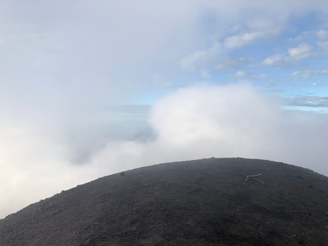
I was on top exacly at 0630, no sulphur smell here,
but it was definitely noticed part way on
the slope while ascending.
I started down after 15 minutes, the views had been limiting,
clouds swirling around the summit.
Descending this type of terrain is very easy, and quick, I returned to the hut already at
0735. After retrieving clothes and shoes from my room, in fact, chenging into driving mode,
I said goodbye to my host and started driving back down already before 0800.
On my drive back I stopped near the top of the P600 hill that Hwy. 1 really crosses over.
The name Cumbres is used
at Peakbagger. I walked around a bit to identify the highest point(s),
then continued south to Rivas. Returning to my wife, Heidi, already around 1400 was certainly
ahead of schedule.