Location: North 17.08080, West 025.17229 (GPS at the summit)
Sao Antao, Cape Verde
Climbed February 18, 2018
`
Information:
How to get there:
Starting out from the (ferry) town of Porto Novo, locate the road that crosses the island
(north) and connects to the town called Ribeira Grande on the north coast. Pass through
Lembo de Figueira and continue towards Espongeiro. Shortly before this place, a dirt road
forks left serving a place named Lagoinha. Continue
to follow the road to a new small community
called Lagoa, location N17.08670, W025.13838, elevation about 1210 meter.
My taxi stopped here, but one
may perfectly well continue to drive, see the route
description below.
Route description:
From Lagoa, the same road continues flat and even slightly downhill before it finally turns
more uphill. There is a road fork at location N17.08391, W025.15586, elevation about 1370 meter.
This may be a suitable place to park an ordinary passenger car, while a 4WD certainly can
continue until this route leaves the road. Even a normal car should have little difficulty to
drive onwards, but this would make the actual hike to this summit rather short.
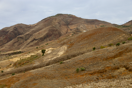
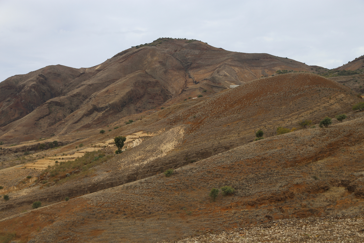
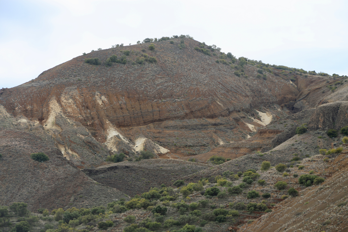
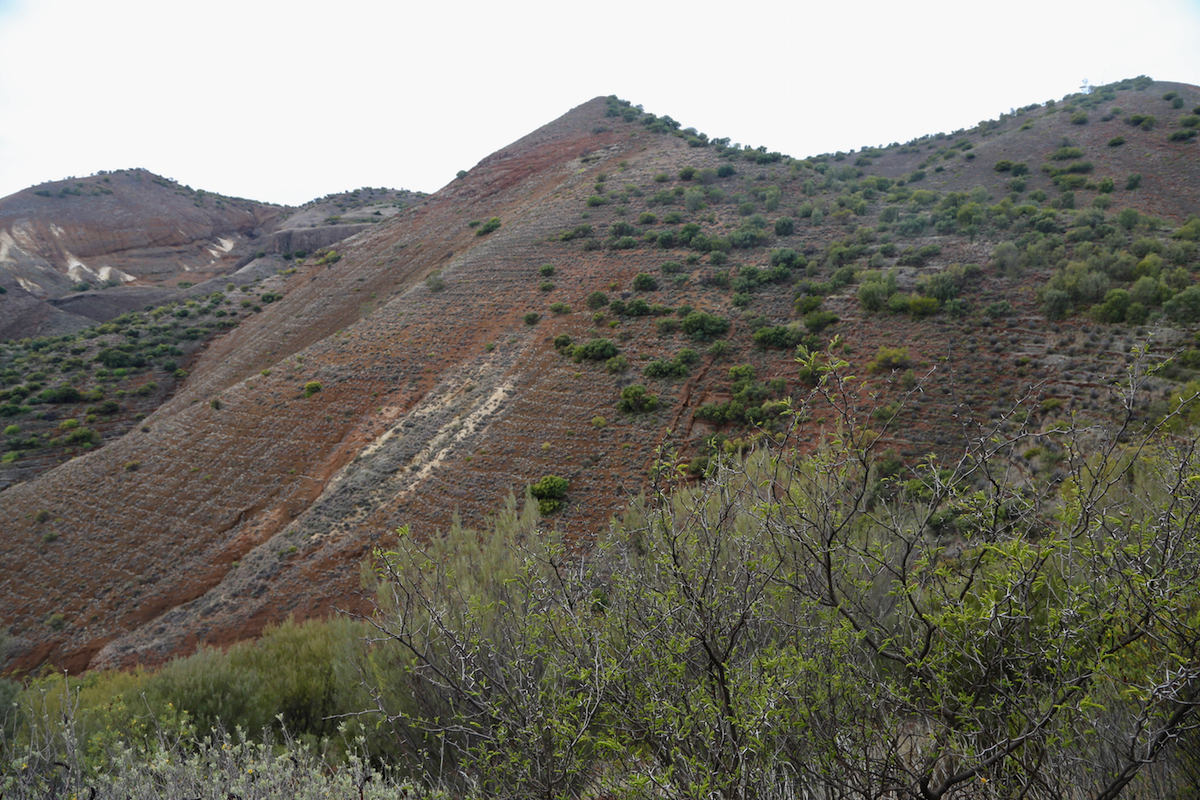
Take the left fork, the road now climbs fairly steeply as it follows a ridge.
Cavaleiro is visible
to the left, but it is clear that one should first access the
connecting ridge.
Higher up,
the road will make a few big bends as it continues to climb to its highest point where
the crest is crossed. There is a white building up on your right and this is where one
must leave the road. Thus, if you have driven to this point, then locate a place to park that
does not block the road or any access. The precise location is at
N17.09209, W025.17145, elevation near 1660 meter.
About 10 meter from the small access road to the white building, look for a small (faint) trail
that leaves the left hand side of the road. (When facing the way you have been travelling.)
Follow this trail, it becomes a bit easier to see as you get going. The trail will climb towards
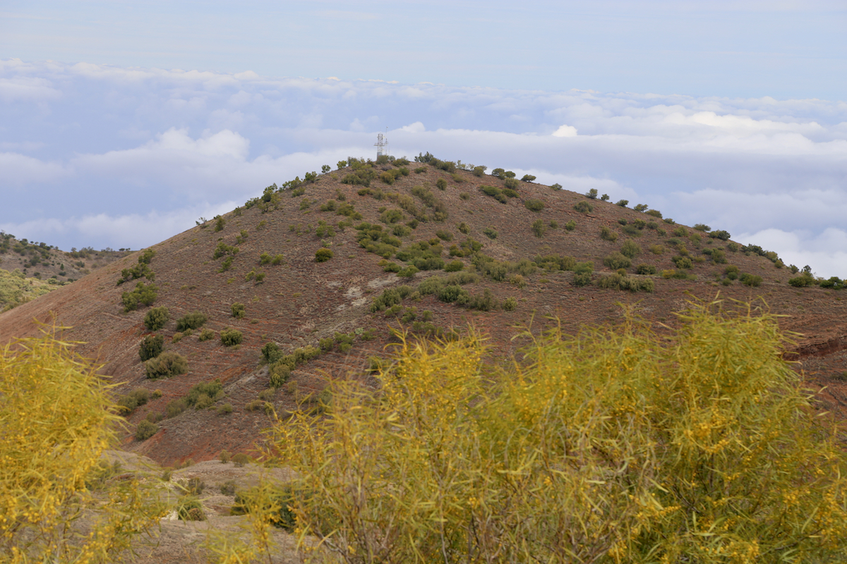
a local hilltop, you will see another hilltop
with an antenna off to your right hand side.
As you get higher, the trail will stop climbing and start a traverse to your right, contouring
around the upper end of a small valley between the two tops. It will become clear
that this trail will serve the hilltop with the antenna mast.
Therefore, roughly at location N17.08833, W025.17442, elevation about 1740 meter, leave the trail,
going straight left and climb across the local crest. You should pick up what looks like another
trail as you descend (about 50 meter) towards the saddle below. As you reach this saddle, the trail
is again pretty clear, even marked with some small cairns.
You will see the summit ahead, but a direct
line is not good, rather one needs to traverse across a couple of smaller hills, thus staying well
to the right hand side of a straight line.
The trail is hard to follow, most likely one will loose it in several places, but hiking is easy
and the general direction should be clear. After the small hills, ascend the gentle slope to the
main ridge, gradually turning left and then arrive at the summit point.
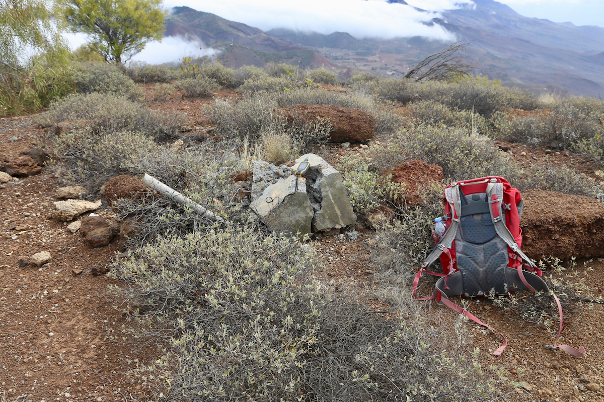
The summit is marked with a few rocks and a broken summit marker. Comments:
After climbing the highest point of Sao Antao the previous day, it was very tempting to also
visit the only other mountain on the island having a prominence that exceeds 600 meter.
Yesterday, Frenk was providing good taxi service, I therefore agreed that we should meet
at 0730 the next morning outside of my hotel in Porto Novo.
Frenk showed up slightly ahead of time and we set off towards the area called Lagoa. The driving
speed decreased as we forked left onto the dirt road. By the time we reached a cluster of
houses (Lagoa?), he suggested that I could start my hike while he would wait for me, hoping
that I would return before 1400. The time was now 0850, so close to 1.5 hours of driving.
I started out at 0855, and it took me about one hour to reach the white building where the route
leaves the road. From here, I followed the faint trail, but subsequently lost it several times
after descending to the saddle. I picked a route that went too much to the left, but overall, did
not loose very much time, arriving at the summit at 1045.
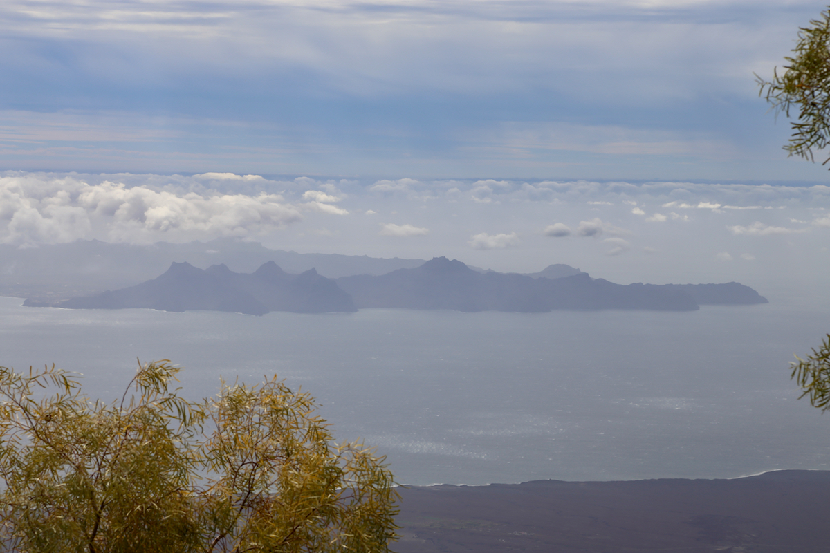
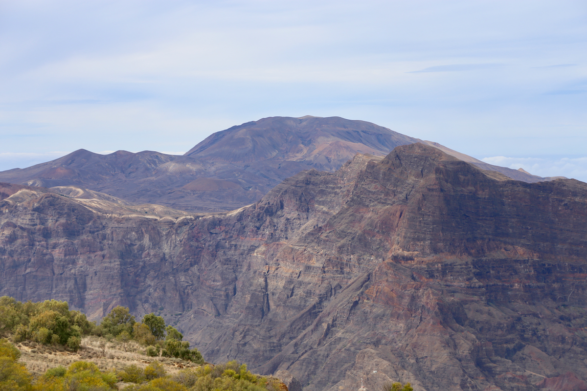
Nice views all around, I could see Sao Vicente in
the haze, but also a better view across to
the island high point, Tope de Coroa, where I was yesterday.
I left at 1100 and connected back to the road in about 30 minutes. What remained was an easy
road hike, getting me back to Frenk and his taxi by 1230.
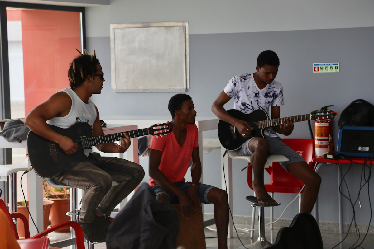
We were back in Porto Novo around 1400, so plenty of time until the first ferry departure
at 1600. A local music group provided
entertainment while waiting in the ferry terminal, the ferry left
on time and Frenk had already booked his cousin on Sao Vicente to provide me with taxi
service at that end.