How to get there:
Access from the north. Locate Via del Renaccio, it crosses the pass
north-east of Monte Catria. Drive this (paved) road to the col and
park there. This location is
N43.46994, E12.69773, elevation about 1380 meter.
Route::
A quick summary of the peaks climbed in Italy 2022.
A road runs up to a small rifugio, but it is better to follow the clear trail
that heads directly up the slope from the col. When you reach the top of the
road (some buildings), continue straight uphill through the forest. There are
many different trails here, none particularly good. As you exit on the upper side of the
forest section, follow various trails uphill to gain the main crest. There are also
trails traversing more right, overall the best approach here is to keep left (uphill)
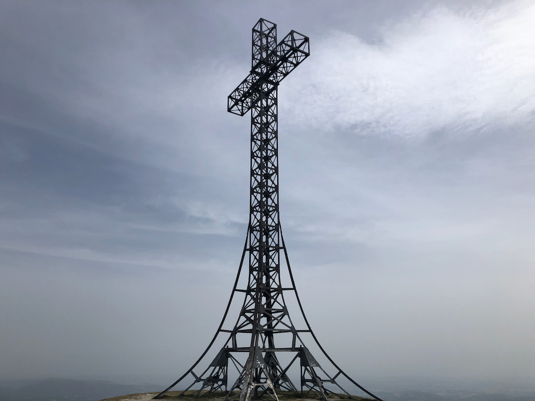
and gain the top. From here, stroll along the pretty wide top ridge to the final, short
hill that gains the summit with its large cross. Comments:
I left the col at 1010. It took 40 minutes from there to the summit.
It was quite windy, perhaps not so common for this part of Itay?
I left after a brief summit stay and descended in 30 minutes.
Resources:
Images
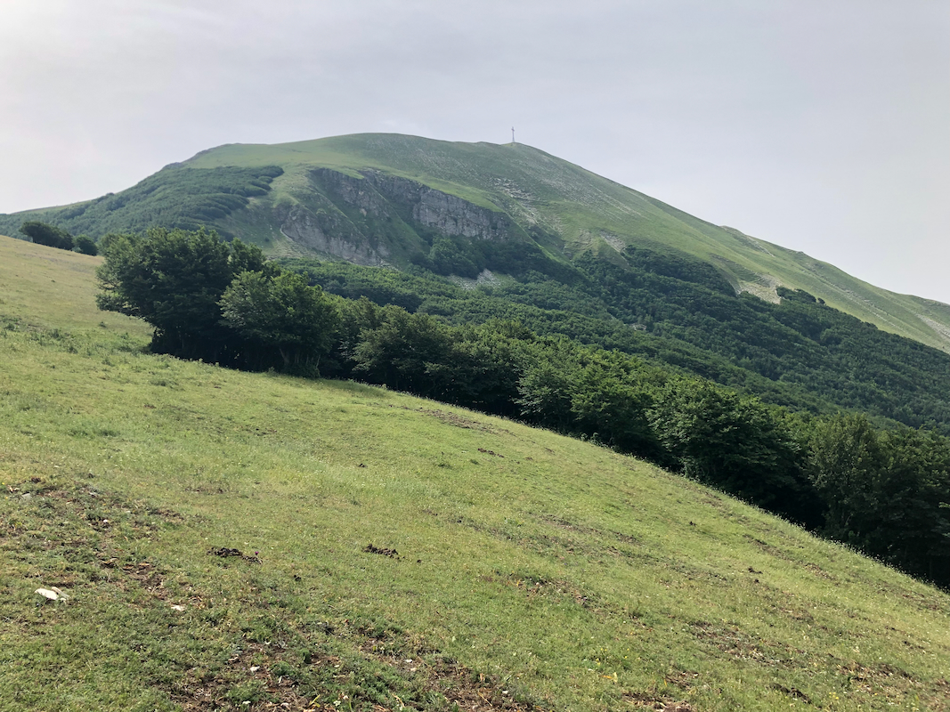
Monte Catria seen from the lower part of the trail.
