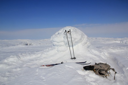
Location: North 59.75248, East 006.91674 (GPS at the summit)
Difficulty: YDS class 2
Climbed March 29. 2014.
Information:
How to get there:
Locate highway E-134 connecting Haugesund (south of Bergen) with
Telemark and Oslo. The main tunnel (more than 5 kilometer long) on this
mountain crossing is called Haukelitunnelen. A good starting point is the
turnout at the west end of this tunnel. This turnout is at location N59.83919, E006.98871,
elevation about 1090 meter.
Route description:
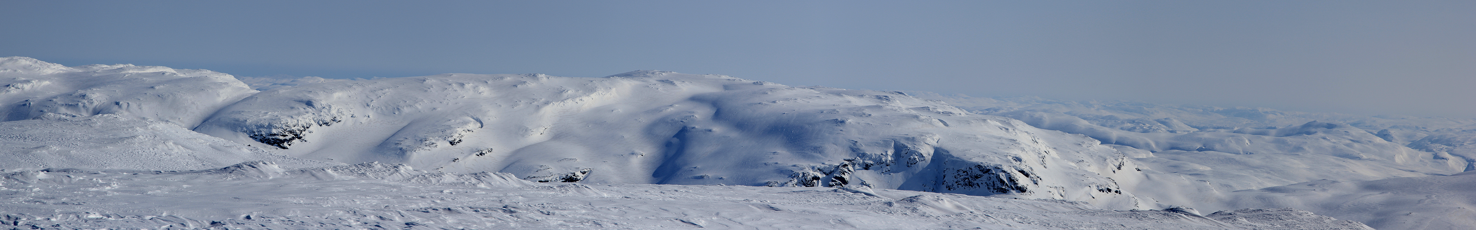
From the trailhead, first ski south-east, then south to lake
1282, located just east of a col named Blåbergeidet.
Cross this col (ski right to avoid a possible cornice). Descend into the
valley at the opposite side and ski down to Blåbergdalen. Cross left
in order to save some elevation as well as distance, just before hitting
Blåbergdalen.
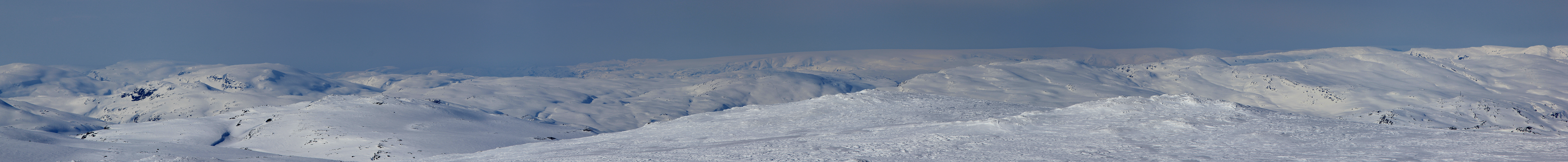
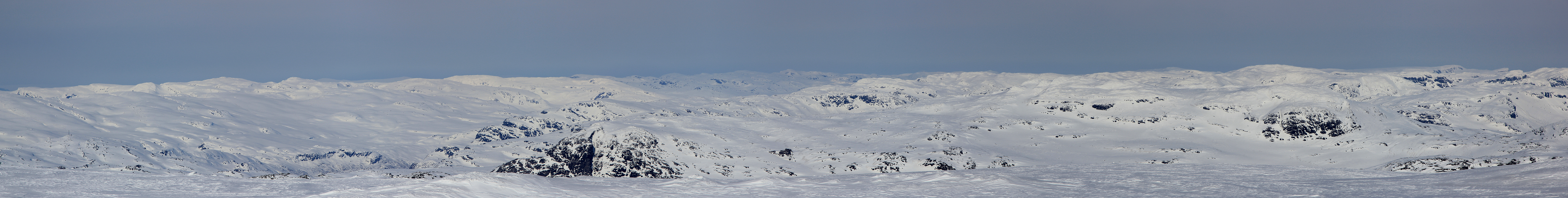
Cross Blåbergdalen going south, you will then see the distict valley
going up east of Midtnuten. This valley is the key to further progress.
Ski up this valley to its top col, then ascend more steeply to your left.
The terrain becomes more gentle and the route now continues more or less directly
to Breifonn.
Comments:
I skied this peak directly after climbing
Blåbergnuten.
Thus, I descended directly down towards Blåbergdalen.
The way to do this, is first to ski west from the Blåbergnuten summit,
then south. The climb was straightforward and
I arrived at the summit
around 1330, about 2.5 hours after leaving Blåbergnuten.
I skied back along the route described above, arriving at my car around
1630, about 2:40 after leaving the Breifonn summit.