Location: North 62.65924, East 009.68015 (GPS on the summit)
Oppdal, Norway
Climbed February 23, 2013
Difficulty: (YDS) class 2.
Information:
How to get there:
Locate Oppdal, a village about 120 kilometer south of Trondheim along Hwy. E-6.
Drive 6.8 kilometer west on Hwy. 70 from the intersection with E-6. This will get you
to Vognillan, where a road forks right (north), the sign says Nerskogen. Drive another 9 kilometer
on this road and locate a parking area on your left, next to lake Skarvatnet. Park here,
location N62.69123, E009.55952, elevation about 886 meter.
Route description: Note: The easiest way to climb this mountain, is to take the skilift in the alpine skiing area
at Oppdal. However, here a much nicer route starting from the road is described.
From this trailhead, ski up the hill near Grøtbekken to the shallow saddle marked at 1237 meter.
Proceed down the gentle slope to a large meadow, observe the distinct gorge that the creek has made.
Ski further right,
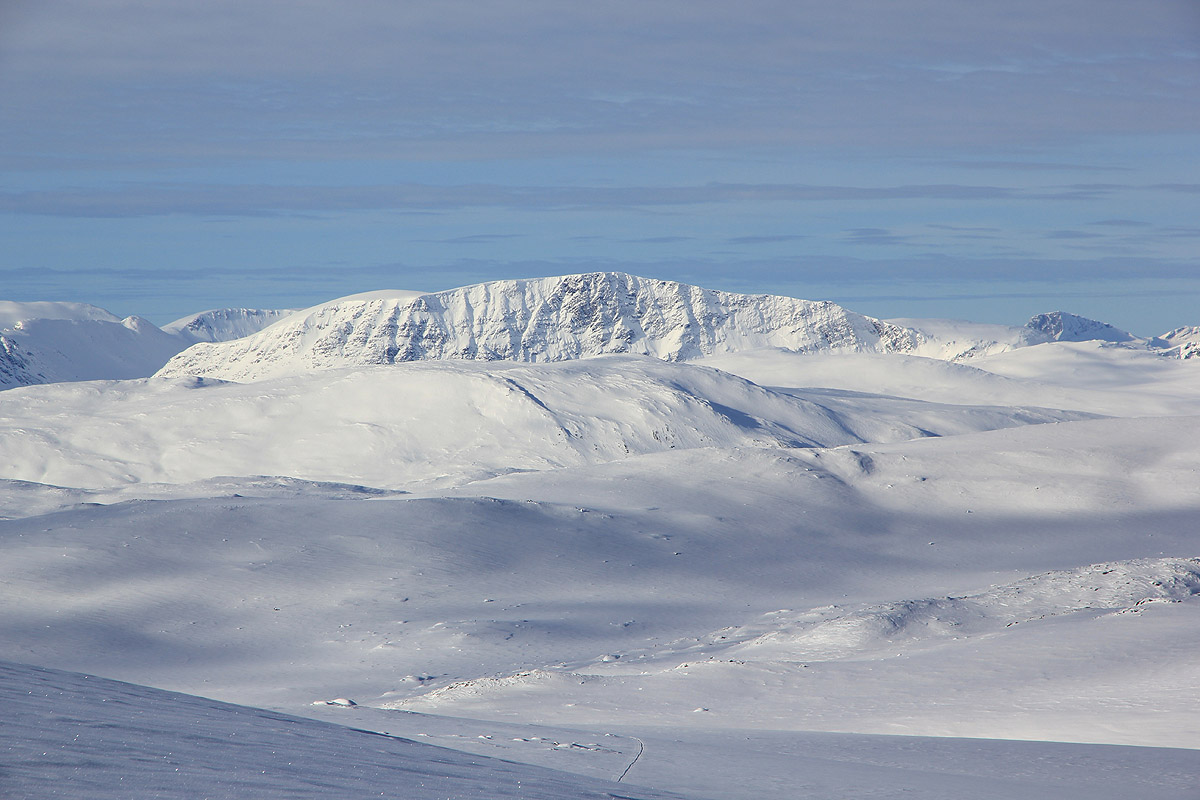
up gentle slopes in the direction of Snofjellet (1560m). As you get higher, keep turning slowly to the right as you
follow the right side of the wide valley. The summit of Blåøret is about 2.5 kilometer straight south of
Snofjellet.
There are two summit points separated by a very shallow saddle.
The west summit has a cairn and a summit register.
Trip Report / Comments:
After climbing Kråkvasstinden, I drove to Berkåk and met
my good friend Jostein Grepstad. Jostein had driven from Trondheim after I called him from the summit of
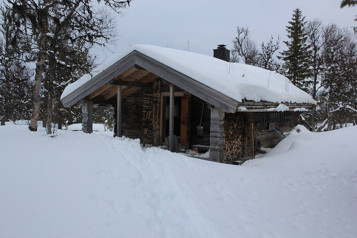
Kråkvasstinden. We then drove to a location just south of his cabin, where we parked and then
skied about 2.5 kilometer to his hut.
After a nice evening, we finally decided to catch some sleep, having planned for an early departure the next morning.
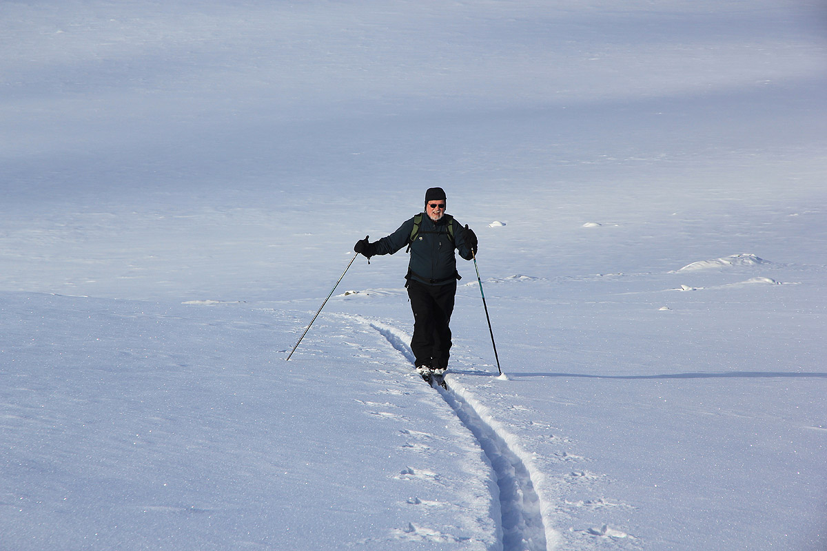
We drove to the trailhead and parked, then left around 1015. After the initial hillside,
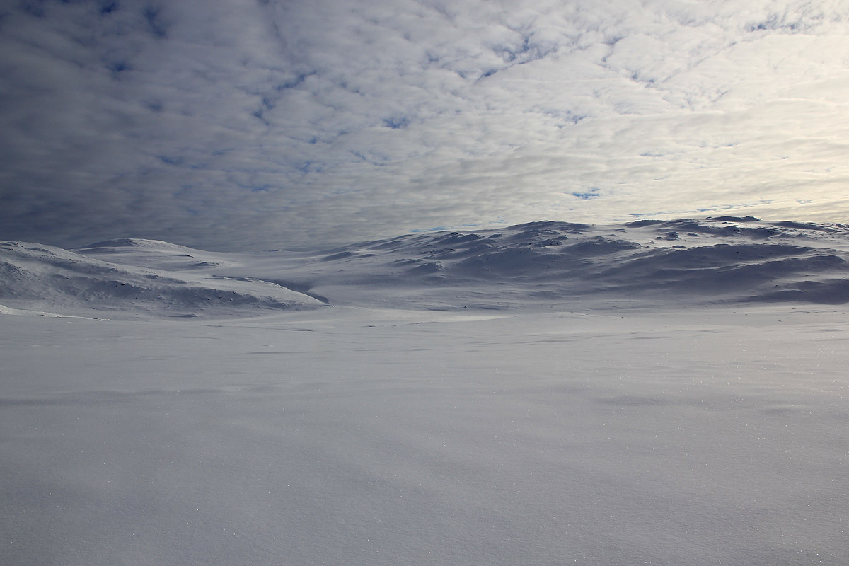
we entered really nice terrain for skiing
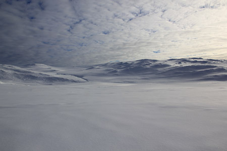
and enjoyed the silence and beautiful white landscape.
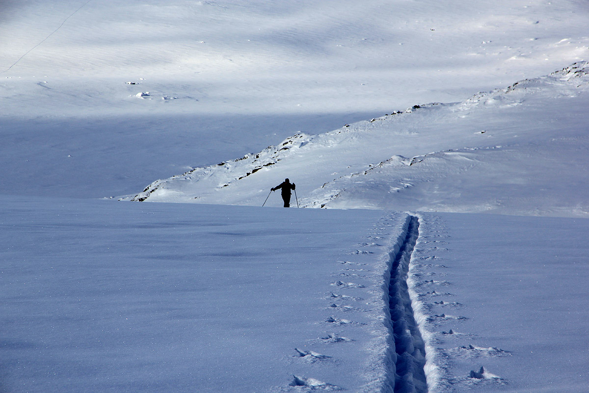
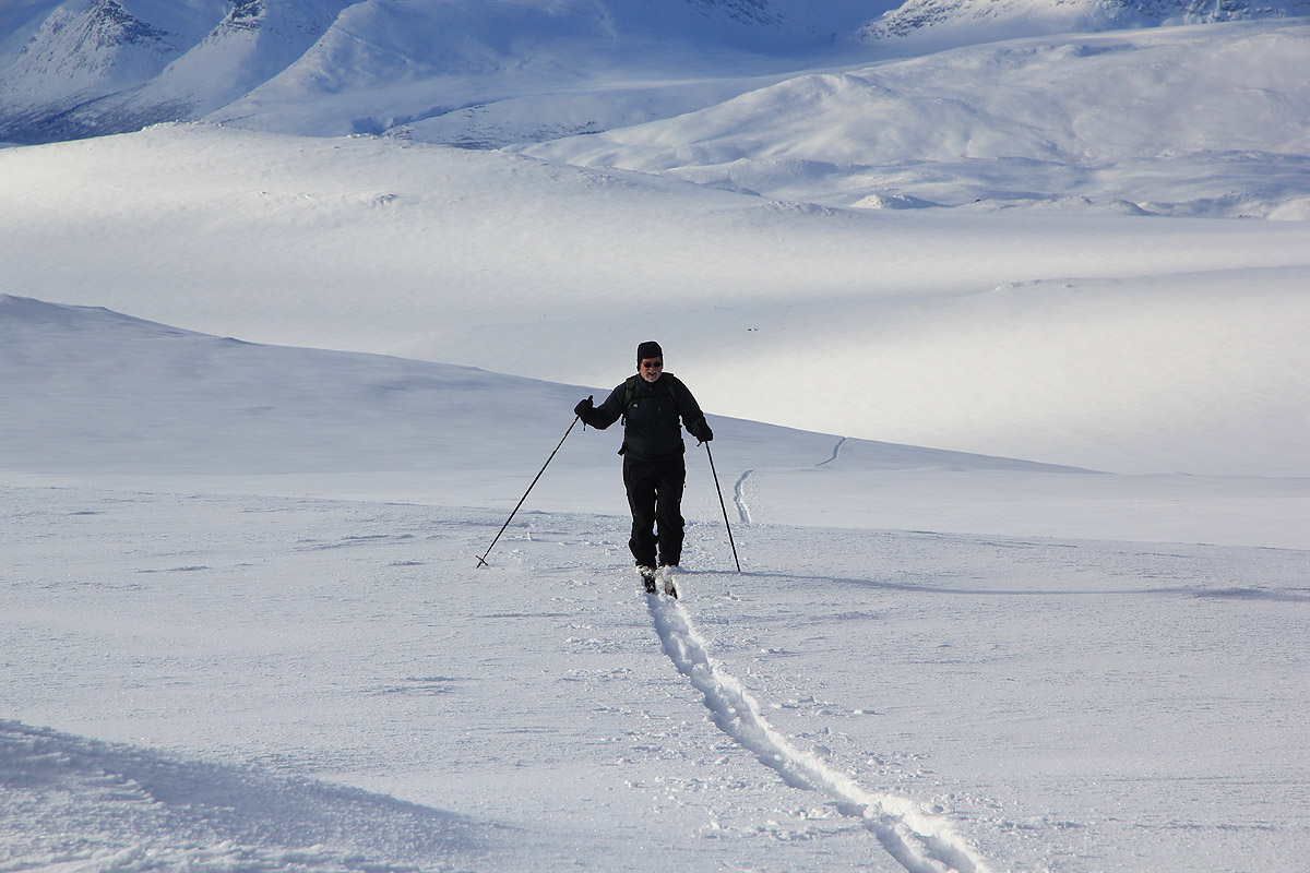
I broke the ski track all the way to
the summit, a good extra dose of exercise.
As we gradually gained elevation,
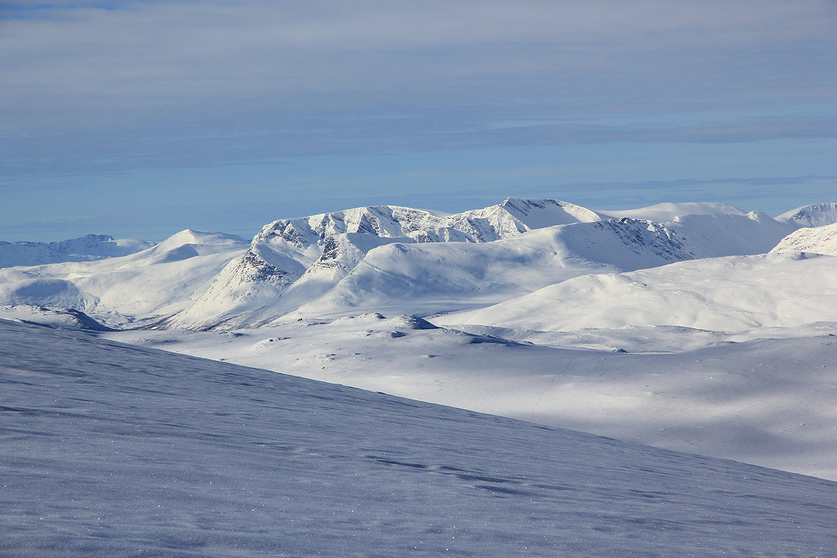
the view behind us (to the west) got incresingly better.
We made the summit shortly
after 1400. We met two persons there, the only people to be seen all day.
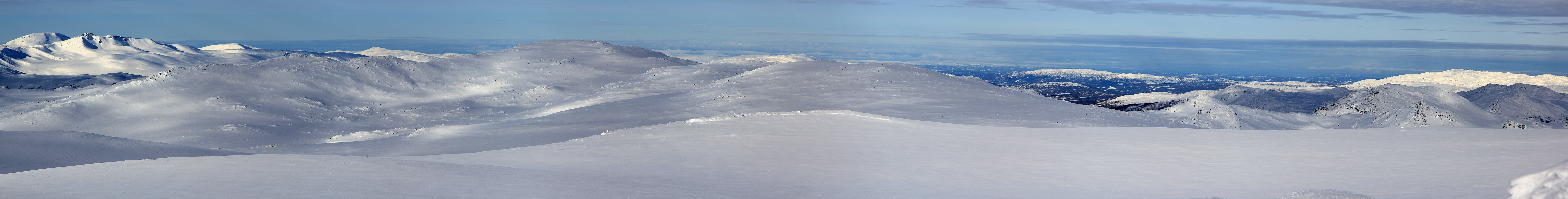
I subsequently skied across to the other (very flat) summit and GPS measured this as well. The two
appear to be of essentially equal height.
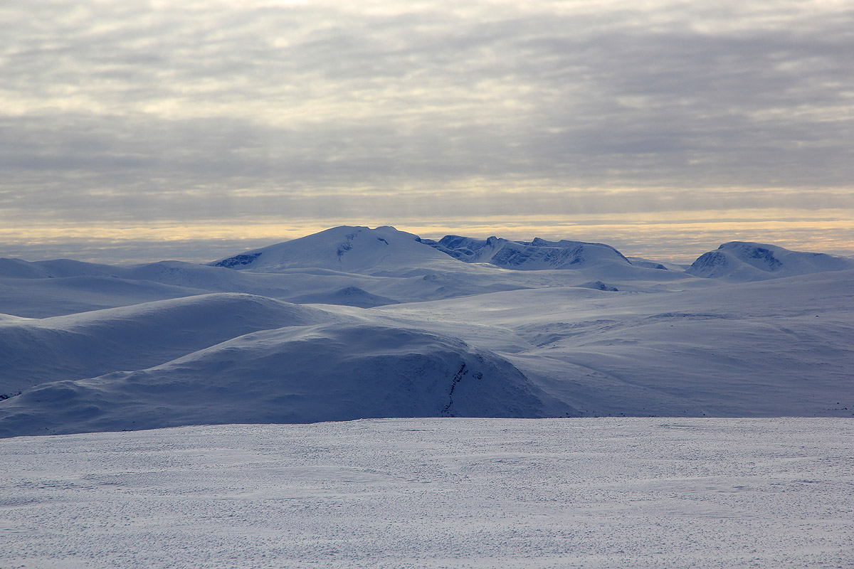
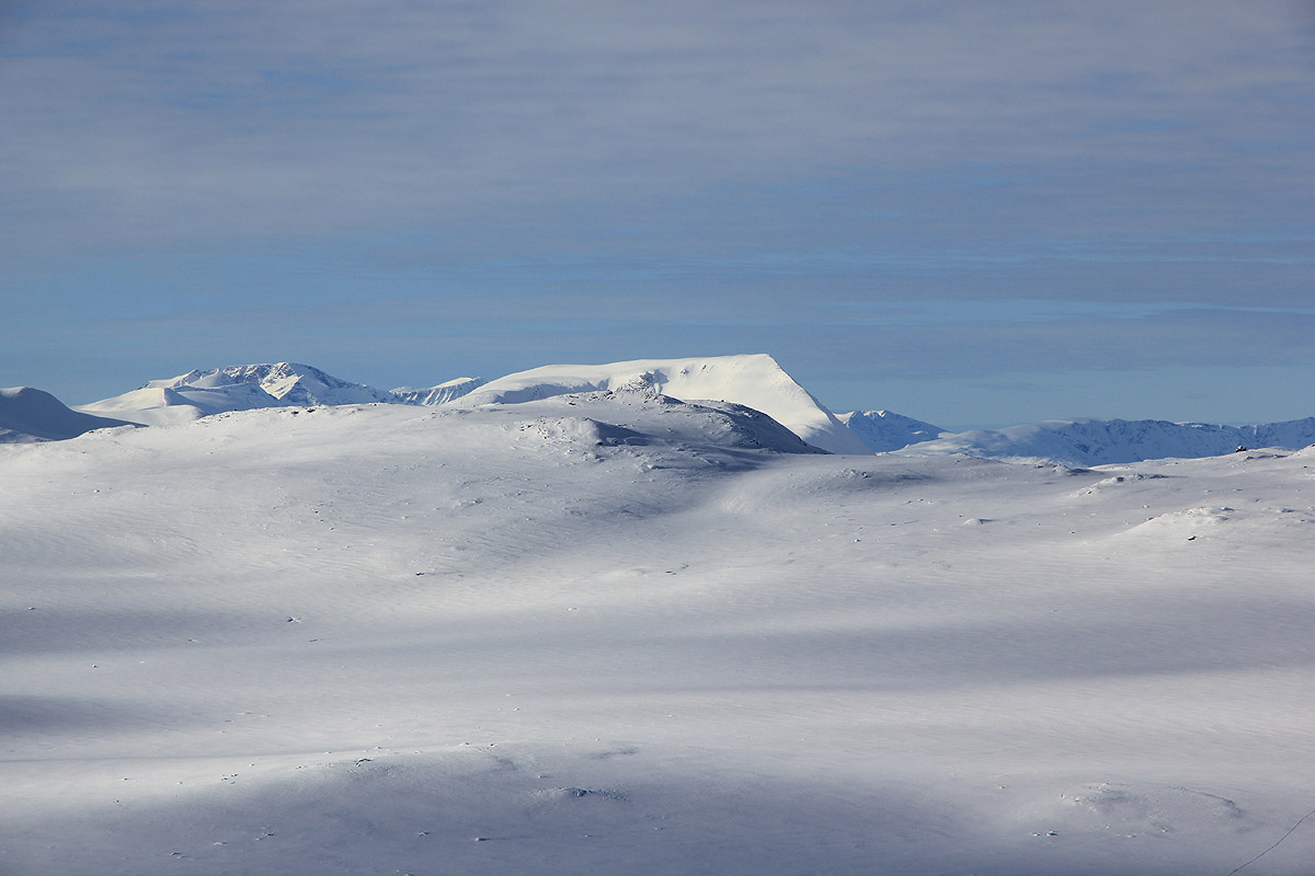
No wind and a very nice view all around. In the south, Snøhetta and
in the north-west Trollheimen.
I left the summit at 1425 and had a very nice ski downslope before we climbed the small hill back up to
point 1237. We reached the car shortly after 1600.
Driving back and then skiing the final 2.5 kilometer to Jostein's cabin, arriving there before 1800.
It had been an almost perfect day of February skiing. Deep powder, no wind and quite a bit of sunshine.
We subsequently enjoyed a nice steak dinner with a Grand Cru St. Émilion.
Thanks to Jostein for great company and for finally having the opportunity to see his great cabin!