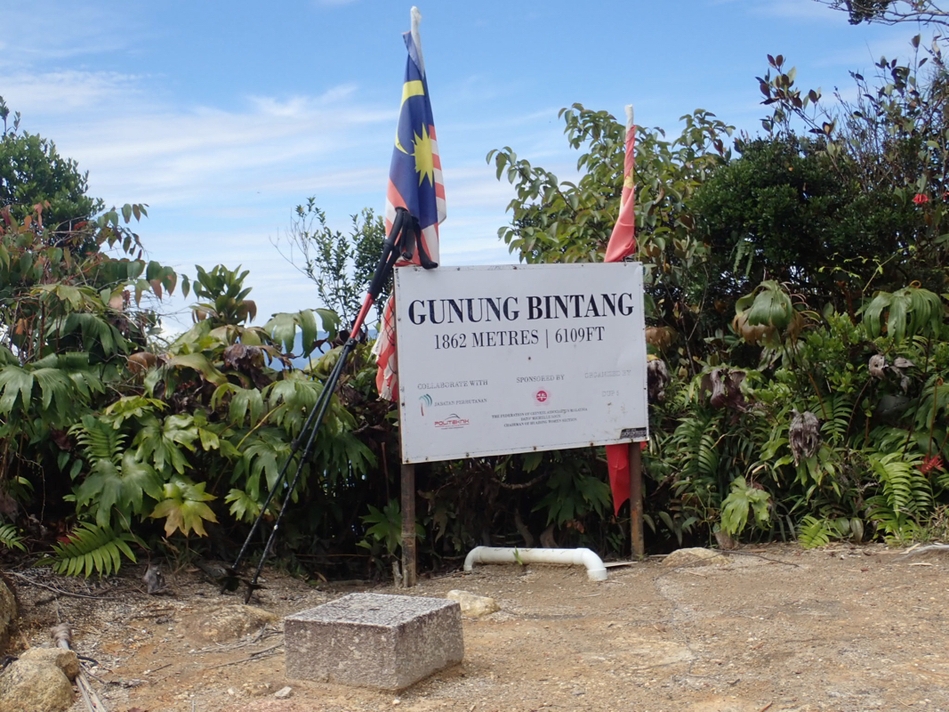
Location: North 61.80049, East 007.22551 (GPS at the summit)
Malaysia
Difficulty: Class 2 (YDS)
Climbed July 1, 2018
`
Information:
How to get there:
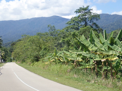
This mountain is located about 100 kilometer somewhat west of north from Ipoh.
With Ipoh as a starting point, one would drive 100 km north along Hwy. E-1, then more
directly north on good, paved roads to locate Sungai Sedim. As soon as you are there, follow
signs for "Tree Top Walk". The last bit of road is charged with MYR 4 (or was it 6?), you fork
right here and drive up a small hill. This roads leads to a parking area for the Tree Top Walk,
located at N005.41345, E100.78123, elevation about 115 meter.
However, the trailhead is slightly before you get this far, there is a meeting area on the road
on your left, 1-2 cars may park here. A small side road forks right, just ahead. This is the
start of the route at location N005.41198, E100.78075, elevation about 120 meter.
Route description:
The first 4 kilometer of the route follows this (paved with concrete), small forest road.
This road does not receive regular maintenance. When I was there, it was blocked partway
up by a massive tree-fall. About 10 trees with branches everywhere completely blocked the road.
Otherwise, this is generally a nice and easy walk, perhaps 45 minutes until it ends at elevation
near 350 meter.
A trail begins where the road ends. This trail is poorly marked and partially completely overgrown
with vegetation. Perhaps some trail maintenance happens, but it must have been quite a long time ago.
Still, the alternative is likely worse, so one generally picks a route that offers least resistance and
this is indeed a trail.
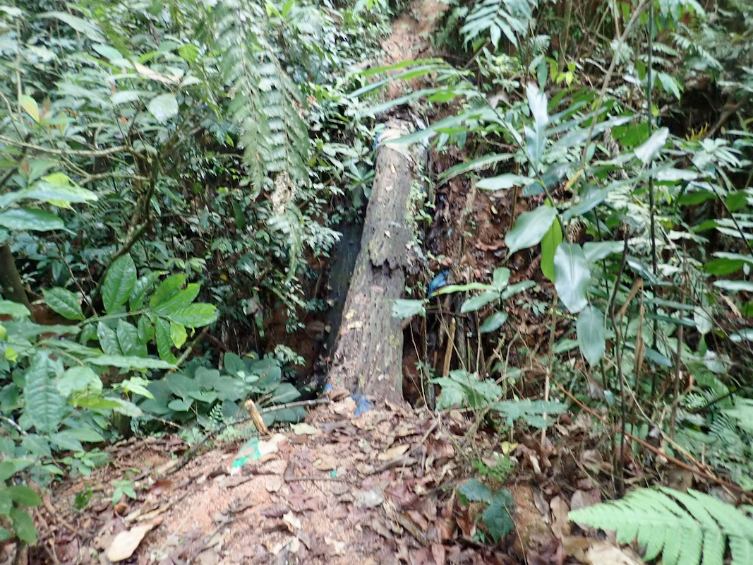
Very soon, there is a single log
crossing of a deep ravine. One should not fall into it, so the best
option may be to scramble down about 5 meter, then up on the far side. Next, you cross a river, no issues.
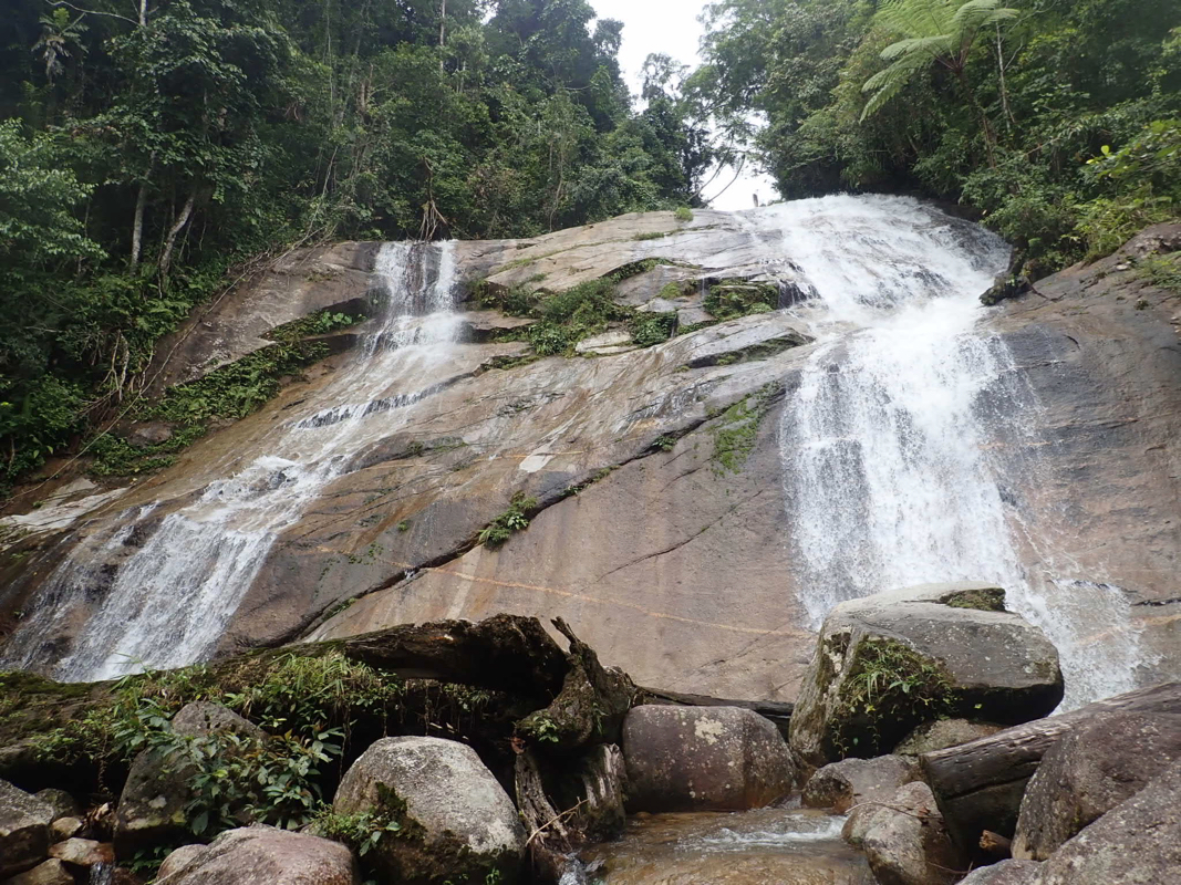
The trail continues through dense vegetation and arrives at
a nice jungle waterfall at location
N005.41556, E100.82938, elevation about 760 meter.
Soon after this, the trail turns more right as it starts climbing a pretty long ridge. The trail becomes
easier to follow and on top of this, it is now marked with red/white plastic. There are also some small
kilometer markers. A steady uphill will bring you to location N005.42312, E100.84929, elevation 1555 meter,
where there is a camp site.
From here, the uphill is less distinct as the trail continues up the ridge to its very top.
One can see that the parallel ridge (to your right) runs higher, thus the trail will descend a little
and continue up on this ridge. Upon reaching this main crest-line, the trail now completes the
route by a few smaller up and downs before finally,
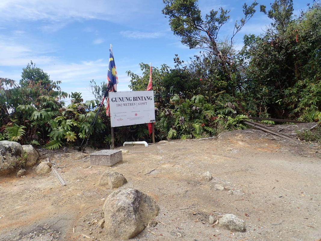
culminating at the summit. Comments:
I had tried to get a local guide to come along on this hike. Somehow this
failed without any sensible reason given. Thus, on June 30th. I started out
from Ipoh to investigate the possibilities.
I quickly discovered the trailhead.
A small road with concrete surface runs into the jungle. I had been told that
guided trips will use a vehicle and drive participants to the end of this road.
I walked about one kilometer and this access looked completely ok.
I decided for an early start the next morning and then went looking for a place
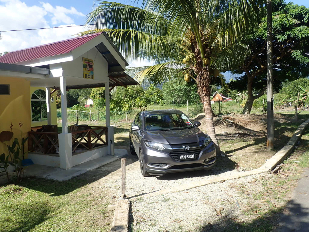
to stay. I found a nice place nearby,
they asked 60 (MYR) for a room, what I was more
than happy to accept. A local family party at the same house, they celebrated
an Islamic holiday. I got to talk to a pleasant man that did fish farming north
of Ipoh, Shah Rizal.
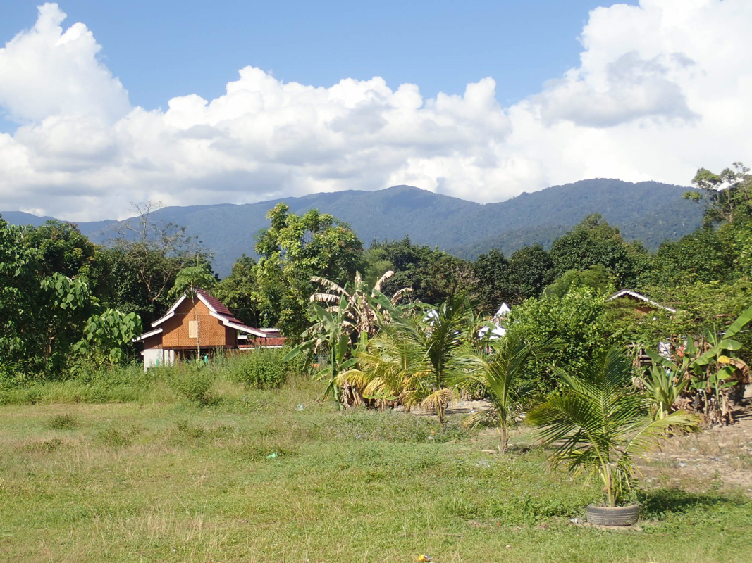
The mountain was in plain view from the house.
The next morning, I packed up at 0430, ready to hike at 0500. I figured it would
be nice to cover the easy road while still dark. I had heard that the guides would
arrange transport to the end of this road. Obviously, not very current info as the
road was completely blocked by a massive amount of entangled trees quite early on, it took some
extra time to climb across in the dark.
Upon reaching the end of the road, it still seemed pretty dark so I continued
into the jungle guided by my torch light. The
trail was far from easy, in fact quite hard to even see. It seemed like very little
traffic in recent times.
Around 0800, I came to the waterfall, there is some structure (shelter) nearby. Next, starting
up the ridge, I ran into a small bear. It was not pleased to see me and told me so with
a loud voice, somwhat in between a dog barking and a big bear "brum". I decided to reply
similarly, showing that it did not scare me, shouting back to him. This made him start up
a tree, climbing very much the way bears climb. Upon my return, checking pictures, it seems
most likely that this was what is called a Sun Bear.
Another problem came up, I was under massive attack from leeches. They had crawled directly
through my socks and were now having a party around my ankles. Not the nicest view, about 10 or so
inside each sock, some thin, while some had already tripled in size with blood. I had no
experience with these, but figured that I should pull them out and get them off my body.
Later, reading a bit about them, they are quite clever. They first deliver local
anesthesia, in order for you to not notice their bite. Next, they deliver a drug that prevents
the blood from coagulating, in order to more easily capture it. They increase in size with all
the blood and can live for several months after one successful bite.
In fact, once bitten, it is perhaps better to let them finish their task and leave instead of
ripping them off with the risk of leaving their head in the wound.
I passed the camp site located above 1500 meter after 5.5 hours and arrived (finally) at
the very summit shortly
before noon. It had been a longer hike than anticipated.
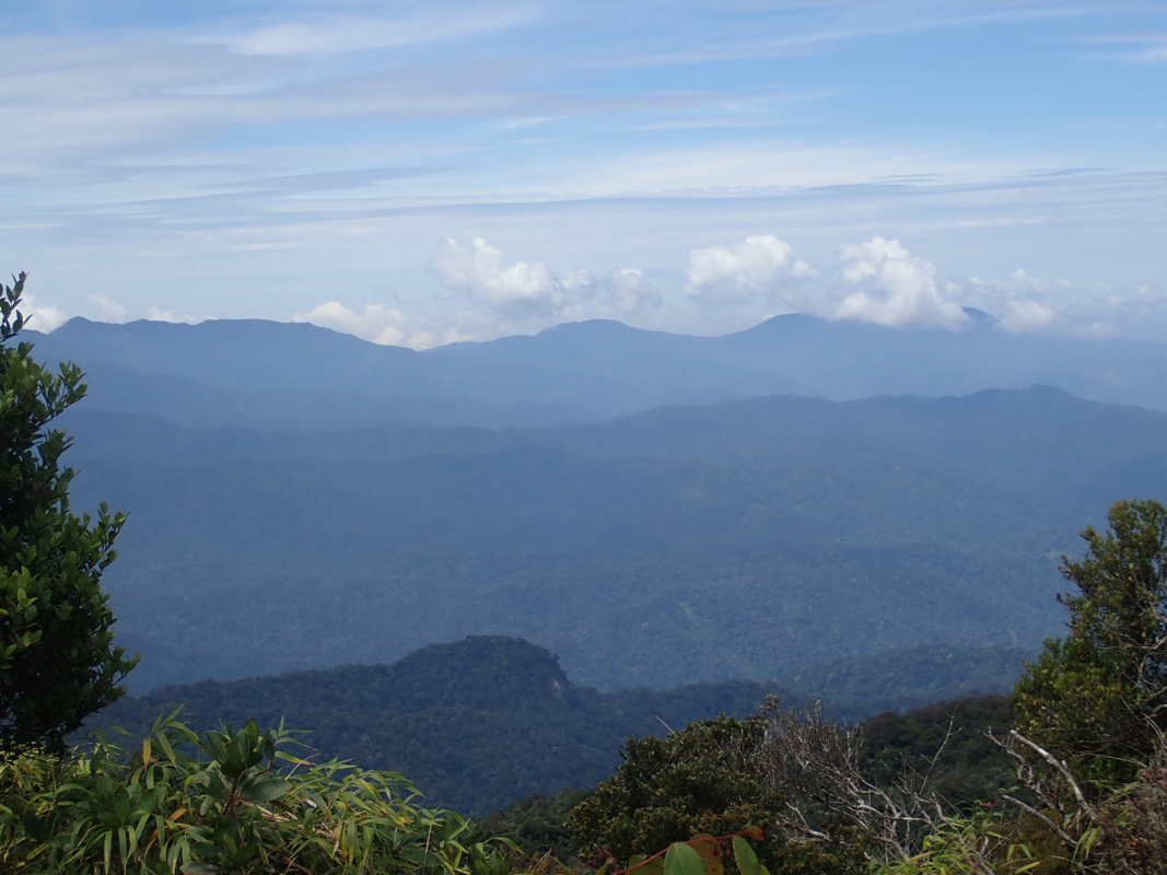
I stayed about 20 minutes, there was
actually a view from here.
The return hike was somewhat faster, there was a significant vertical on this hike. I also
had daylight on the section that had been dark this morning. I was back at my car almost
precisely at 1700, so a 12 hour effort.