Bings Brekuppel
- Bings Brekuppel
- 1890 m
- Primary factor 170 m
- Tindefjellbreen
- Location: North 61:50.323, East 007:04.332
- Climbed May 24. 2002.
|
|
Information:
How to get there:
On the route between Skåla and Lodalskåpa, see
these entries for more information.
Route description:
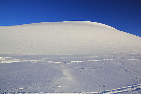
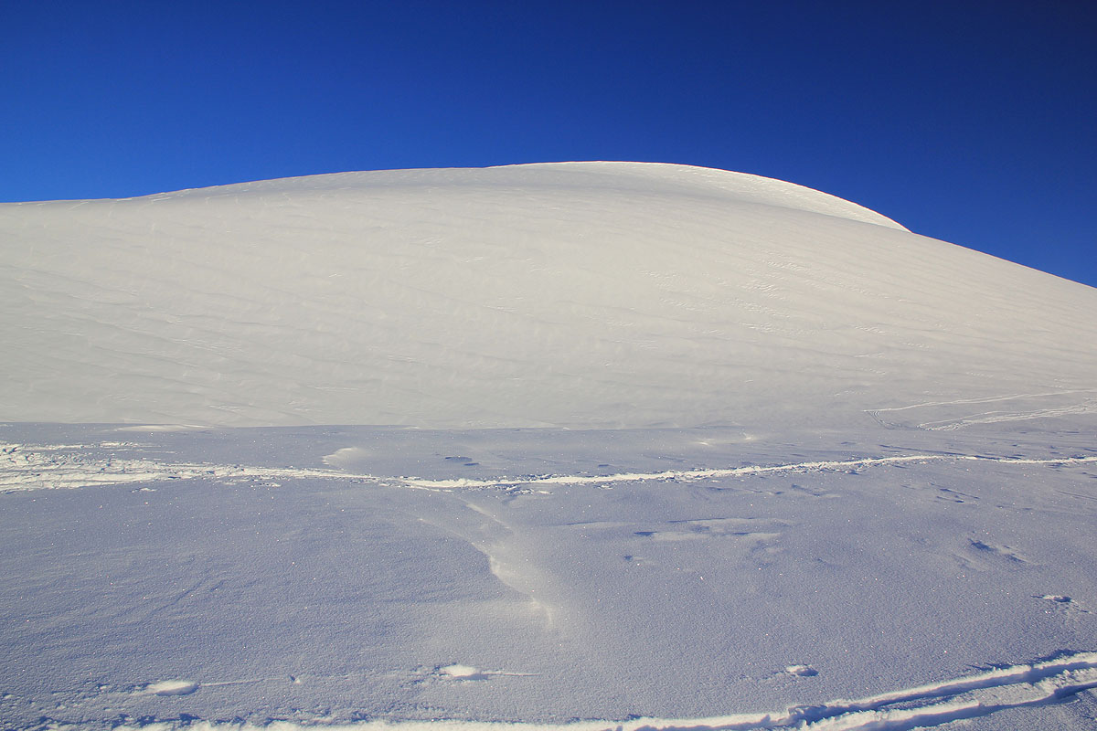
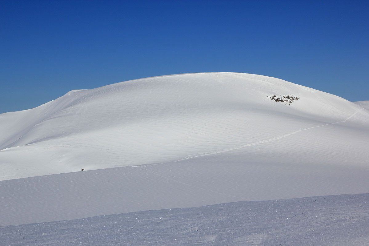
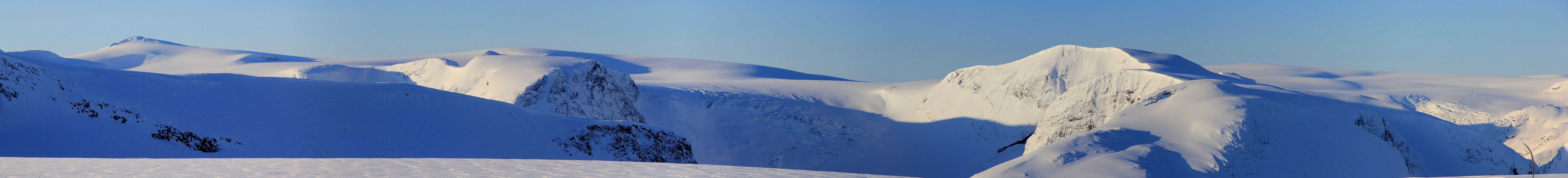
This climb is straightforward on skis. After the substantial climb
on the Tindefjell glacier (just after passing the Tindefjell), there
is a flat area before Bings Brekuppel. On our skiing trips, we have
typically traversed Bings Brekuppel on the left side in order to
continue on the Tindefjell glacier. However, one might alternatively
(as we did in May 2002), climb Bings Brekuppel directly from this
approach. From the highest point one should descend directly towards
the Tindefjell glacier, once below 1800 meter the more gentle slope
is more to the left, that is towards the final part of the traverse
route.
Loen Rundt:
Cross the narrow ridge beyond the Skåla tower, then descend (right) to the
glacier below. Continue towards Tindefjellene and contour on the right side of the ridge
in order to get a descent here that is pretty gentle. Ski to the col at the far
end of Tindefjellet and ascend more steeply the hill that connects to the flat area just
before Bings Brekuppel. Unless you want to climb Bings, one can traverse left of this
mountain and descend directly to Tindefjellbreen.
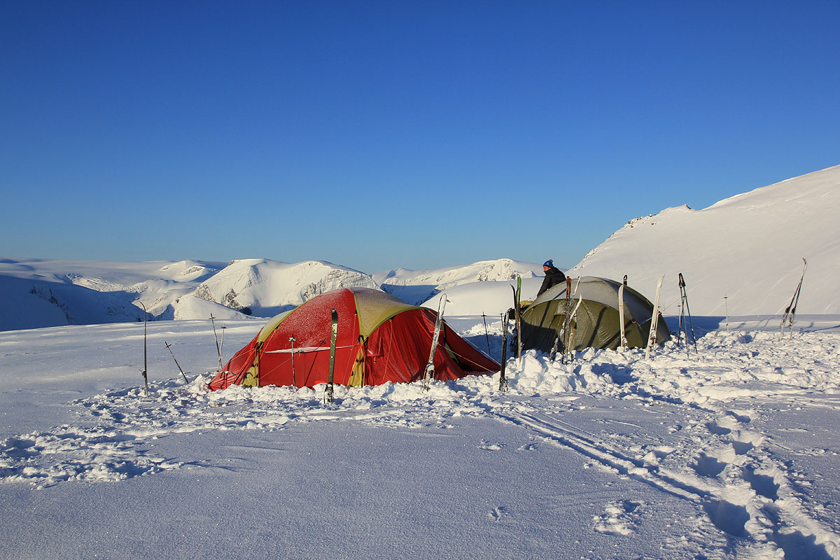
This is a reasonable place for a first camp
if the day started at Tjugen seter.
This route continues towards Tindefjellbreen.
Comments:
We made this alternative on our trip in May 2002. My friends
Jan-Frode and Arnt took part in this trip.
In 2012, we had pretty bad weather with almost no visibility, from Skåla to
Tindefjellbreen where we established camp. The next morning was perfect as
the forecast had predicted!
Resources: