Stendarskarfjellet / Yndesdalsnakken
- Stendarskarfjellet / Yndesdalsnakken
- 680 m
- Prominence 133 m
- Akershus, Norway.
- Location: North 60.91671, East 005.40956 (GPS on the summit)
- Difficulty: YDS class 2
- Climbed: November 2. 2021
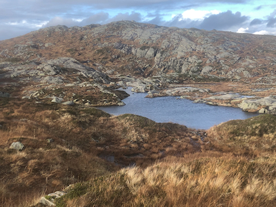
Stendarskarfjellet / Yndesdalsnakken
|
|