Location: North 22.48922, East 114.20787 (GPS on the summit)
Difficulty: YDS class 1
Climbed November 9, 2019
Information:
How to get there:
The Central Station (MTR) is a good starting point. This is the end of the (red) line
on Hong Kong island. Walk about uphill to Queens Road Central, then right to Cochrane Street.
This location is at N22.28364, E114.15495. From here, take the worlds longest escalator to
gain the first bit of elevation. When the escalator ends, the best way to proceed is likely to
go left, then find a walking path (paved) that continues uphill. One may also traverse quite a bit
right and find a good walking path that ascends from the west side.
Route description:
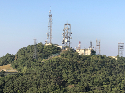
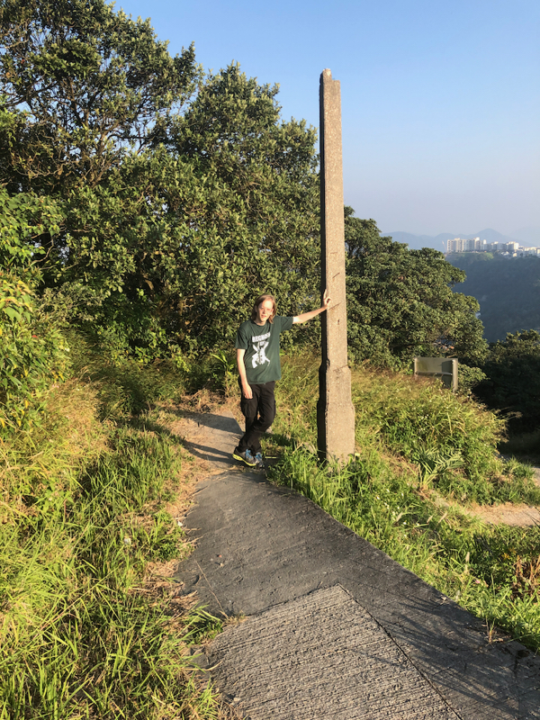
Find and follow some paved walking path to the summit area. The summit area has 3 peaks, they are
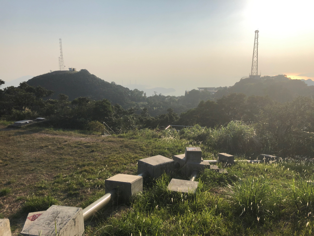
unfortunately, all fenced in with various communication antennas on the summits. The west peak is called
High West at 494m, the south peak is called Kellett at about 520 meter.
There is a walking path that gets you quite close to the summit
of Kellett. To get as high as possible on
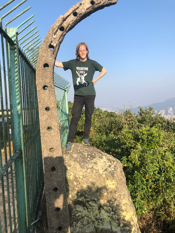
Victoria, you first descend a short way down the road that descends east, then go left and follow a short
road that turns into a path with steps leading all the way to the fence. One can proceed a bit (right) along
this fence to locate a rock that
is about as high as one may legally get, perhaps 10 meter lower than the
highest point of the peak.
Comments:
We first went to the historic museum of Hong Kong (recommended), then took the escalator and
walked right. Unfortunately, there is no good signposts for the peak and one ends up descending
quite a bit before locating Morning Trail that ascends towards the peak. Higher up, we picked
a more direct route to the summit. We explored the summits and were quite disappointed with
all the fences and ugly antennas.
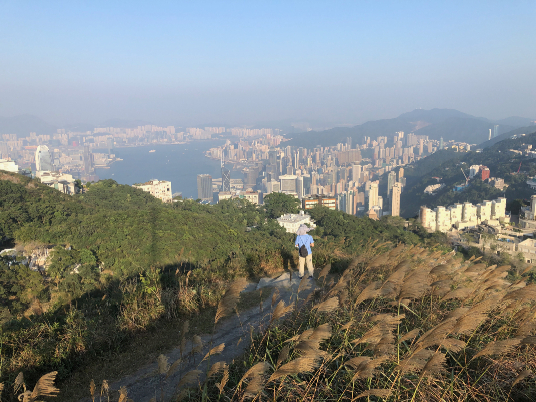
The best view of Hong Kong is possibly from Kellett.
Hong Kong could easily provide a path to the very highest
point if they understood the significance of doing so.
We descended on the opposite side, down to the top station of
the tram-way, then more steeply on a paved path down to the city and
eventually all the way back to MTR Central station.