How to get there:
This mountain is on the island Tysnes. Easy to reach by ferry from Halhjem, south of
Bergen. The ferry should go to Våge.
From Våge, drive south about one kilometer to location N60.03346, E005.51225, elevation
near 90 meter. Three small roads starts here. Find parking without blocking any access,
near the small mail box shelter.
Route description:
Head up the small road on the upper side of the mailbox. When you
reach (very soon) a garage building, turn it on the right side and
get to a gate. Open the gate on the left side (next to the building) and
close it behind you. Follow the forest road that starts here, uphill.
It will turn right and continue to climb. This road ends near location
N60.03407, E005.50658, elevation near 220 meter.
Walk into the forest, turn a fallen tree on the right, then cross a
short boulder field, climbing to your right. You will find a gully
on the upper side that heads uphill. Follow this gully as far as
you can, then exit left. This area is full of vegetation, some
bush-wack here. Higher, the going is easier and you will run into a
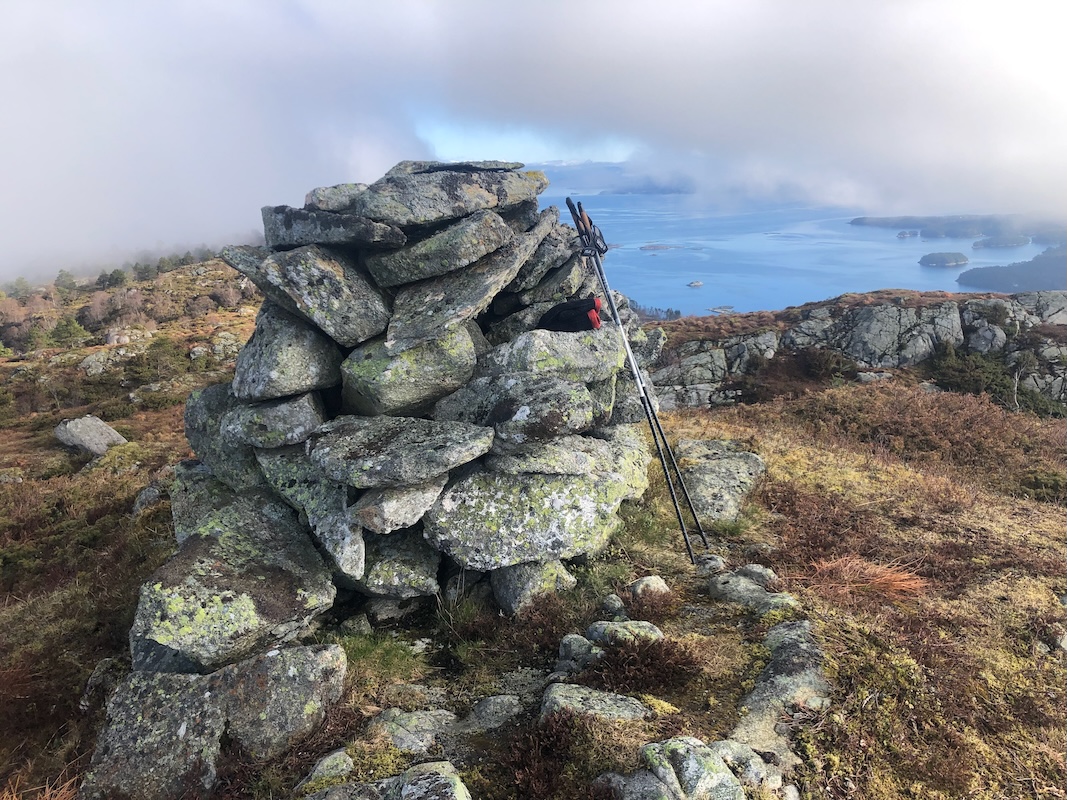
small trail that runs directly to the summit with a nice cairn. Comments:
I took the 0730 ferry from Halhjem and had breakfast while crossing
the fjord. Arriving at the trailhead, I needed to change shoes and do
some general preparation for the hike. I started at 0825 and was happy to
find the forest road that gained quite a bit of elevation. Near the top,
the bush (local name brake) was quite dense and a bit cumbersome.
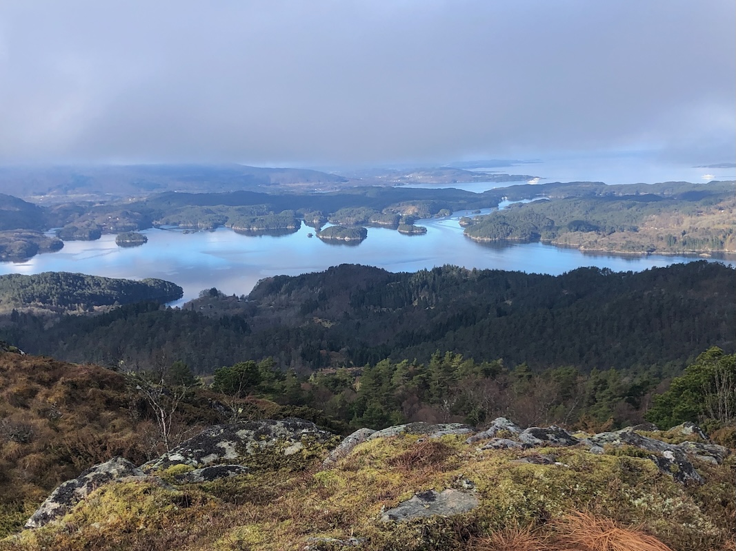
I arrived at the nice cairn at 0910. Good views with some fjord and fog
about to evaporate.
I left after 5 minutes and went down the same way as I had ascended.
Back at the car by 1000.
