Location: North 16.86864, West 024.93460 (GPS on summit)
February 18. 2018
Difficulty: YDS class 1
Information:
How to get there:
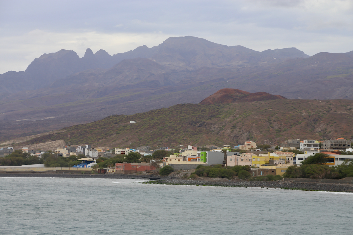
This mountain, the highest on the island Sao Vicente,
is located right outside of city of Mindelo.
Route:
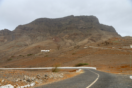
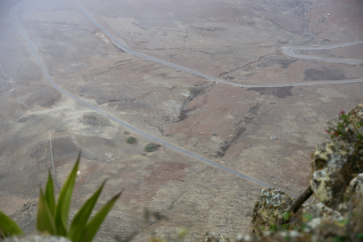
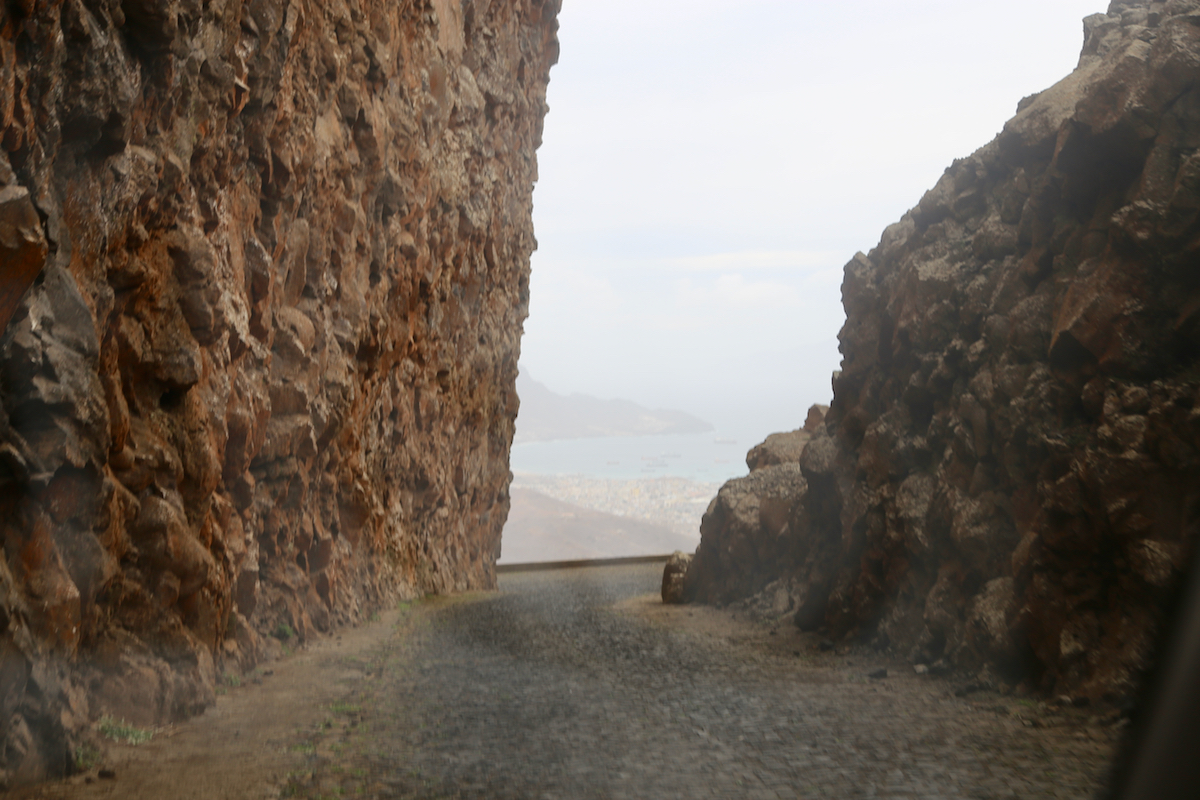
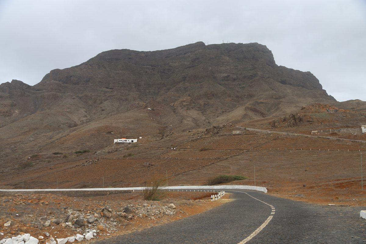
There is a nice, paved road (cobblestones
on the upper section) from the city of
Mindelo to a military installation near the summit. If one drives as high as
possible, what remains is only a 5-10 minute hike.
Rather fortunately, the highest point
is accessible and outside of the restricted area. Comments:
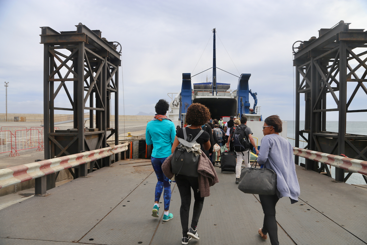
I arrived by ferry from the
island of Sao Antao at 1700 and wanted to catch a flight
back to Praia on the island of Santiago around 1930. Thus, a taxi would be helpful
in order to also visit the highest point on Sao Vicente. My excellent taxi driver Frenk had
already booked his cousin, he was waiting by the ferry terminal with my name on his sign.
Unlike his relative on Antao (perhaps the roads are just very different), the taxi immediately
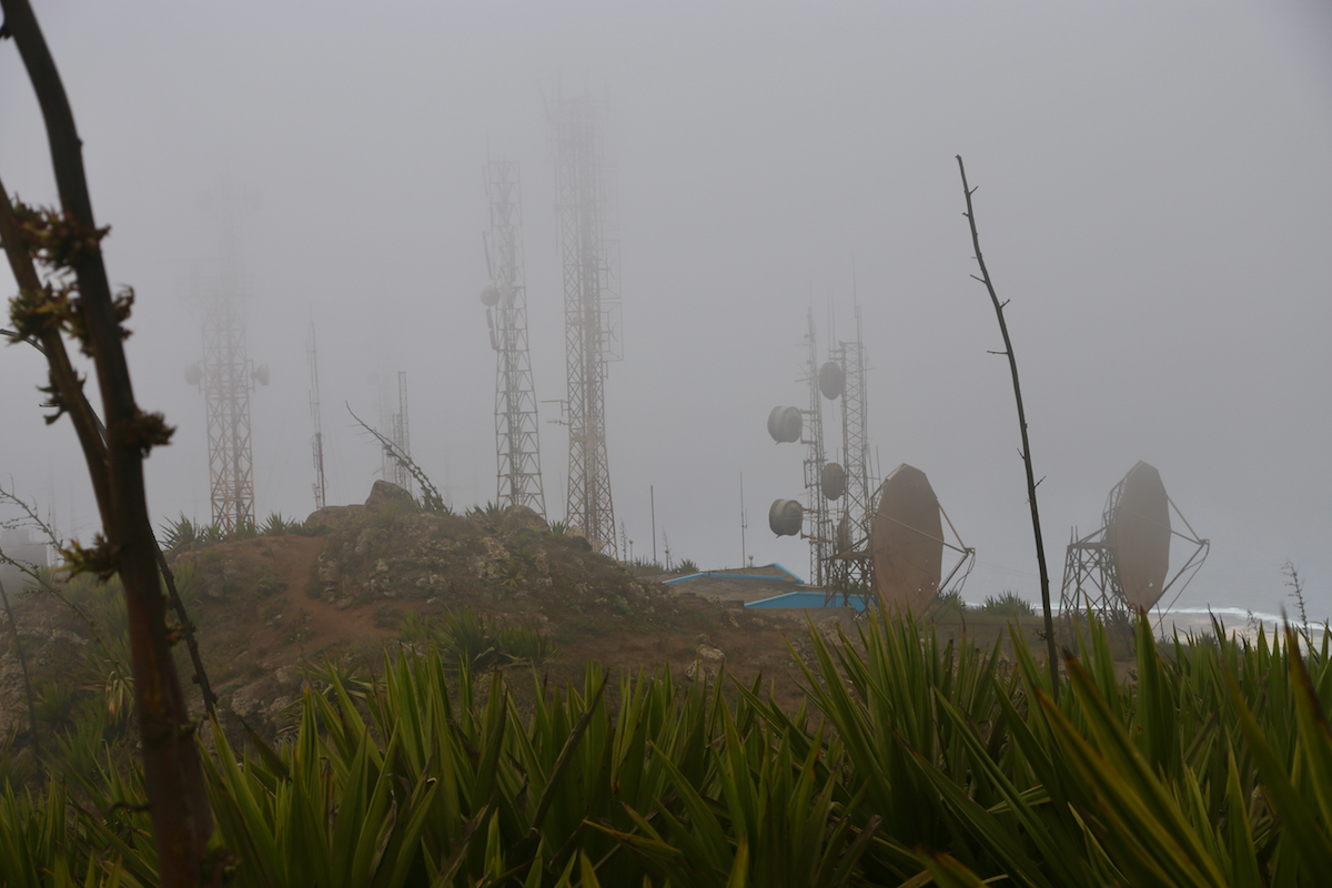
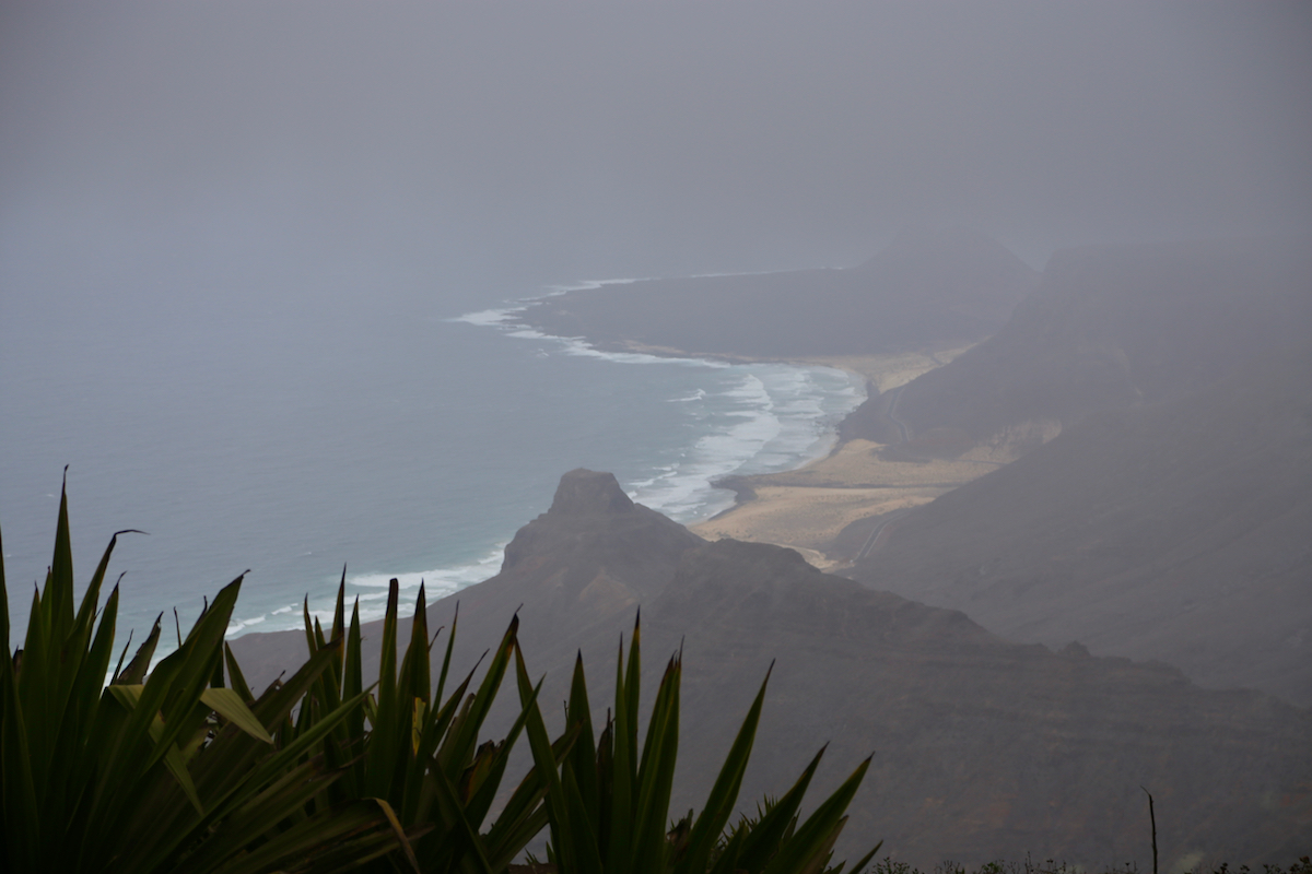
sped off towards Monte Verde. This peak is quite close to town and a road has been engineered,
traversing the steep rock face, in order to serve a military antenna installation near the summit.
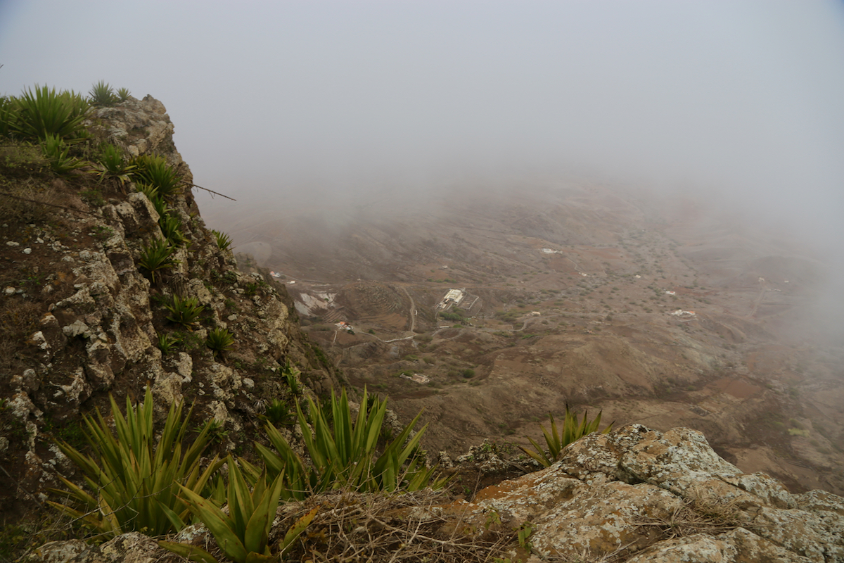
I could start my short hike already at 1720 from where the taxi needed to turn around. Ascending about
50 meter took perhaps 5-6 minutes and I was on top around 1725. The wind was very rough near the summit and
care was needed in order to not be blown off the vertical cliff
right next to the summit marker.
After 5 minutes and a few photos, I returned back down to the cab.
We drove back to the city of Mindelo, then onwards to the airport, arriving shortly after 1800.
I then travelled by plane back to our headquarter in Praia and could enjoy a nice evening dinner
with Heidi after this very successful 2 day excursion to the islands in the north of Cape Verde.