Vedafjellet
- Vedafjellet
- 673 m.
- Primary factor 170 m.
- Osterøy, Norway
- Location: North 60.48019, East 005.60233 (GPS at the summit)
- Difficulty: (YDS) class 1
- Climbed May 12. 2013.
|
|
Information:
How to get there:
Drive E-16 from Bergen, then fork right after going through the Arnanipa tunnel in order to
cross the big suspension bridge that connects to the island of Osterøy. As you leave the
bridge there is an automatic toll station, measure from here.
Follow the main hwy. through the long tunnel and onwards to kilometer 4.8, where you turn right in the direction
of Gjerstad. At kilometer 6.1, follow the main road as it bends right and runs across a bridge.
Then at kilometer 8.0, make a right where the main road curves left, there are signs saying Vedå 1.6.
Continue straight at kilometer 8.7, the road now has some curves, go sharply left at kilometer 9.6, then
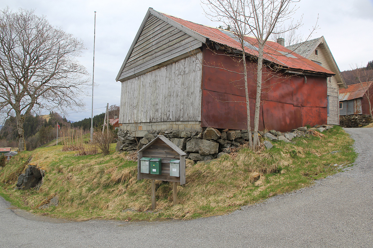
locate the trailhead at kilometer 9.7. You are now near the top of a downhill. The trail runs up a small
side road going right. There are a few mailboxes here.
Slightly higher up, there is a gate.
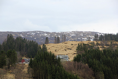
The local hill has a mobile phone antenna. Locate parking nearby, you may have to ask in order to not
disturb the local people living here. The trailhead is at location N60.48000, E005.56529, elevation about
257 meter.
Route description:
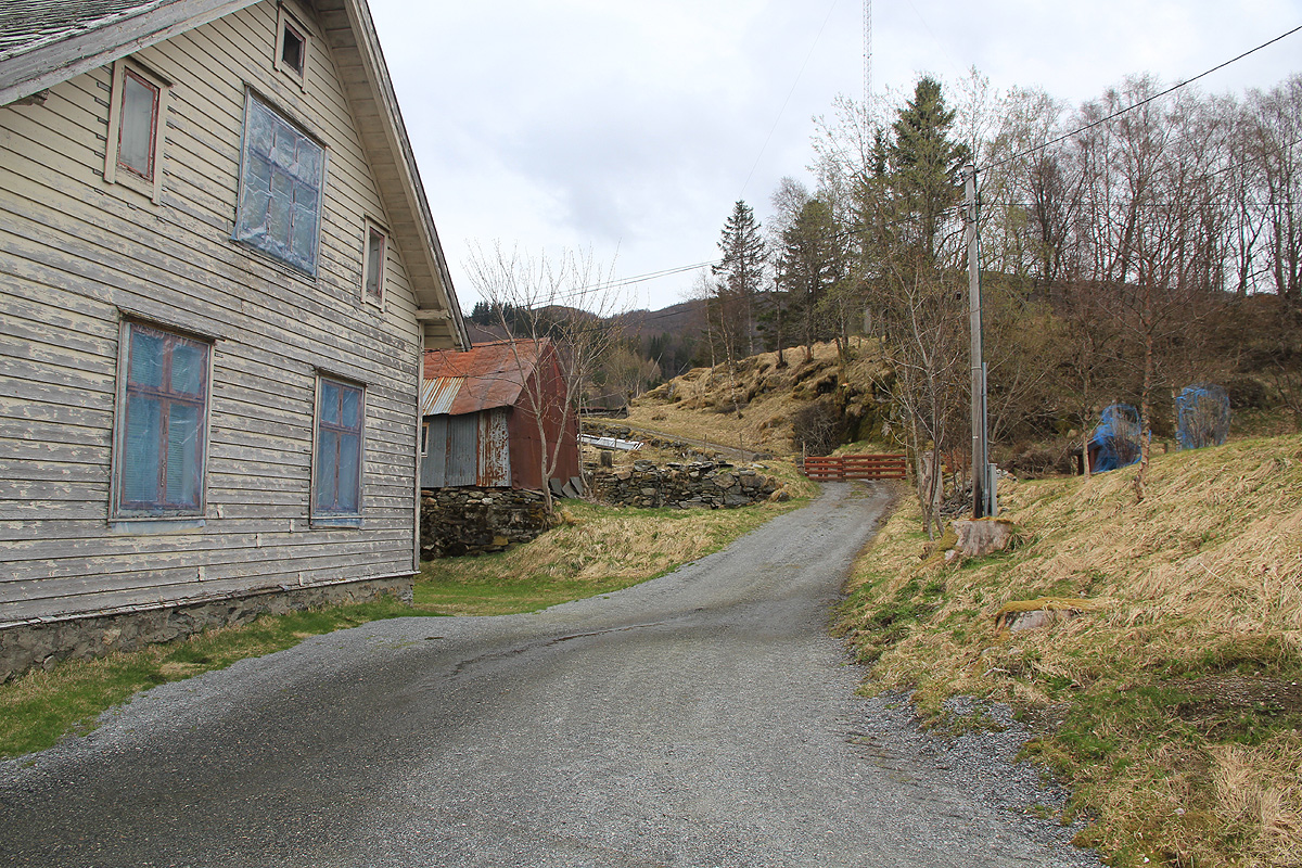
Go through the gate and follow the farmer road across the fields behind the first small knoll. The road crosses
another gate, then forks. The left fork serves a few (red) houses, take the right fork that heads towards the
mountain. Higher up, this road forks again, go right. You should now be near location
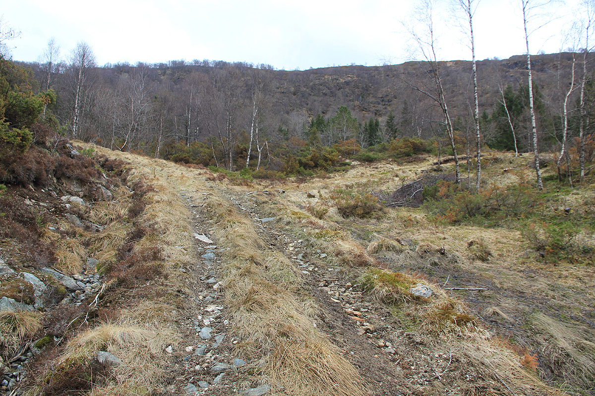
N60.48273, E005.57818, elevation about 362 meter. Leave the forest track here and follow a trail that heads towards
two large sprouce trees and crosses the small creek near these. This trail shall continue uphill while
traversing a bit right. Look at the steep hillside above you. The correct trail climbs this side while going
right. As you get to the top of this steeper slope, you will hit a small trailfork with two wooden, red arrows
pointing in the two directions. Not very informative as there is nothing written. It is likely not very important
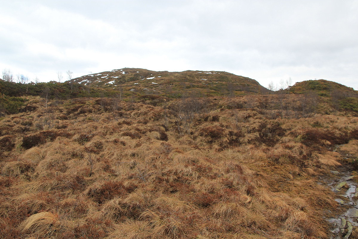
which trail you take, but make sure that you continue uphill. The trail will likely vanish and you should continue
more or less directly to the summit.
There is an alternative route that can be used for descent, obviously by reversing my description this is also
a good way to ascend this mountain.
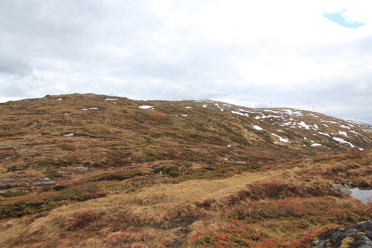
From the top of Vedafjellet, follow a trail marked by some rocks and a few markers northwest to point 620, called
Setevarden. Continue to follow the trail as it descends more or less along the broad northwest ridge.
The trail typically stays on the west (left as you descend) side. This trail will eventually intersect a forest
road, This forest road runs up from where you started. It serves a nice hut that sits on the main ridge. Follow the
forest road back, you will end up at the lower end of the hill from where you started out.
Comments:
I left at 1240 and quickly realized that I had started out along the trail/forest road that I had planned to descend.
That is, I made the hike in the opposite direction from how it is described above. I followed the forest road
to the nice cabin. From there,
I followed a rather small trail uphill. This trail became bigger and better higher
up. Eventually, it turned into a marked trail that
went up the main ridge along its west side. First serving
Setevarden at 620 meter, then continuing to the main summit.
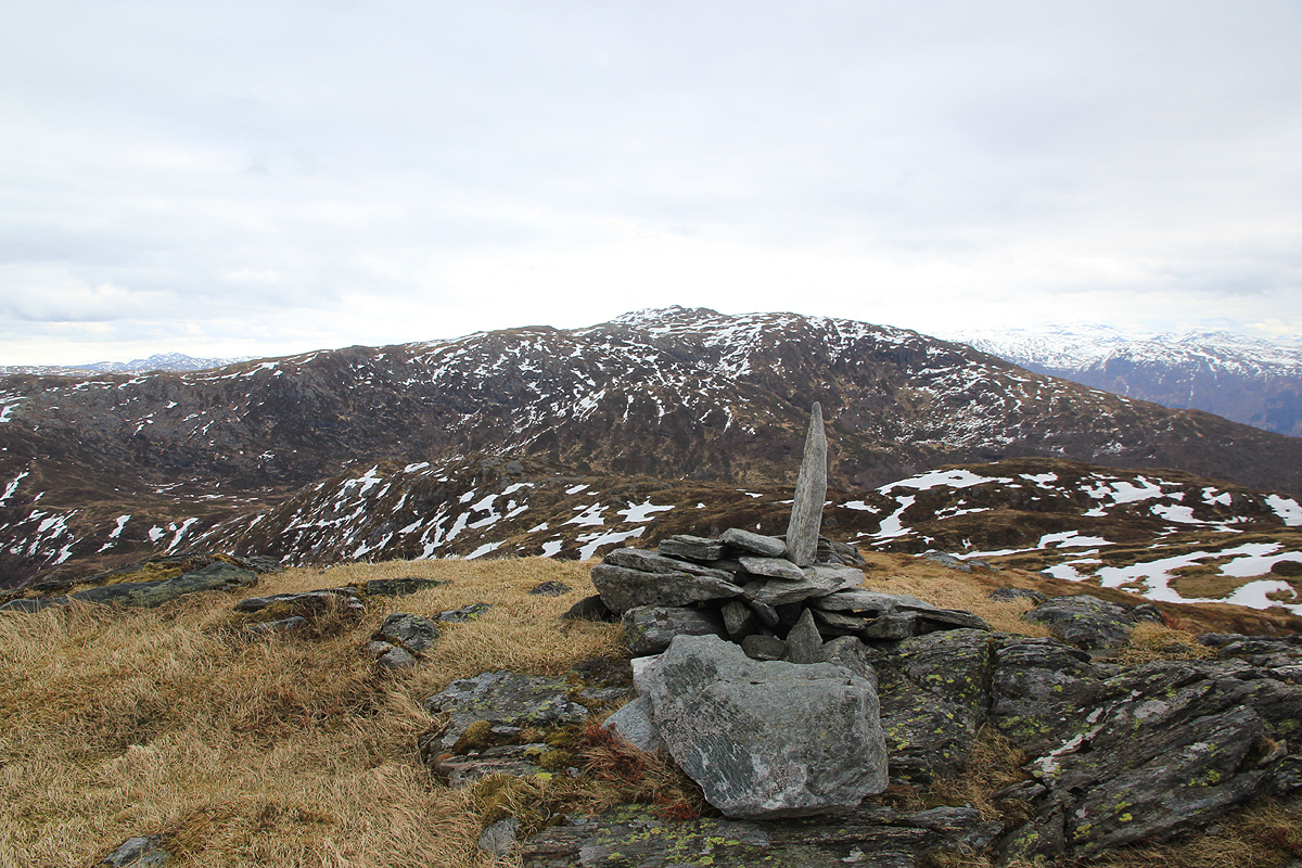
I arrived there at 1345 and spent about 5 minutes
looking around. I decided to try finding the route that I had planned to follow. This was far from easy as I explored
possible ways to descend the steep hillside above the forest road. Luckily, I did discover the trail coming up
from below and followed it back down to the forest road. I was back at my car by 1445, so a nice 2 hour hike.
Resources:
Return to Petter's main mountain page.