How to get there:
From Ulvsvåg on E-6, take Hwy. 81 towards Skutevik.
About 7 km before Skutevik, turn right the road has a sign for
Hamarøyskaftet. The final part of this road is a toll road,
do not enter, but find parking just before the toll road sign.
This is location N68.07104, E015.39875, elevation about 145 meter.
Route description:
Walk up the small road serving a private house, pass to the left of the
building ahead. turn around this building and continue along a farm road
heading for the forest. Very soon, this road has a smaller (and older)
tractor road forking left. Take this (left) fork, you will then immediately
locate a trail that heads right.
This trail may be followed all the way to the summit.
The path is marked with small cairns above tree line.
Comments:
After climbing Hatten in Steigen, I drove north having dinner in Ulvsvåg along the
way. My new base camp was located near the small village of Hamsund. Thus, the drive to
the trailhead was short and easy.
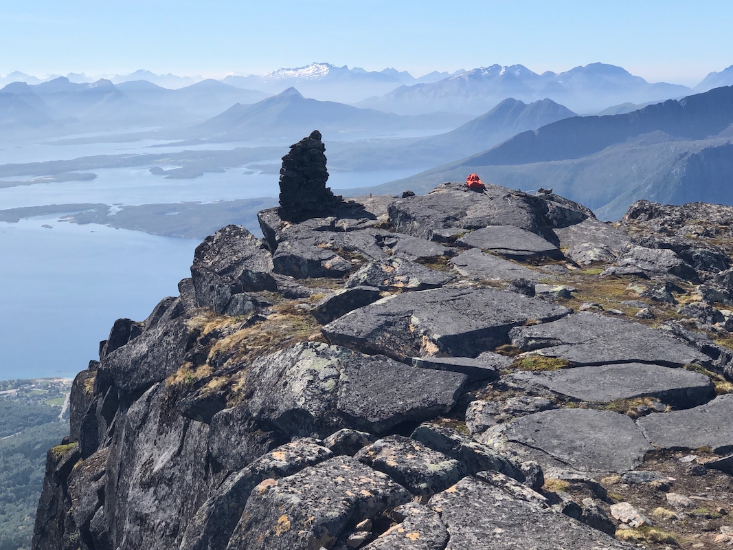
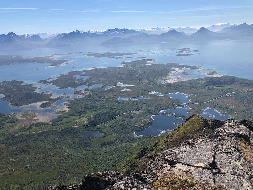
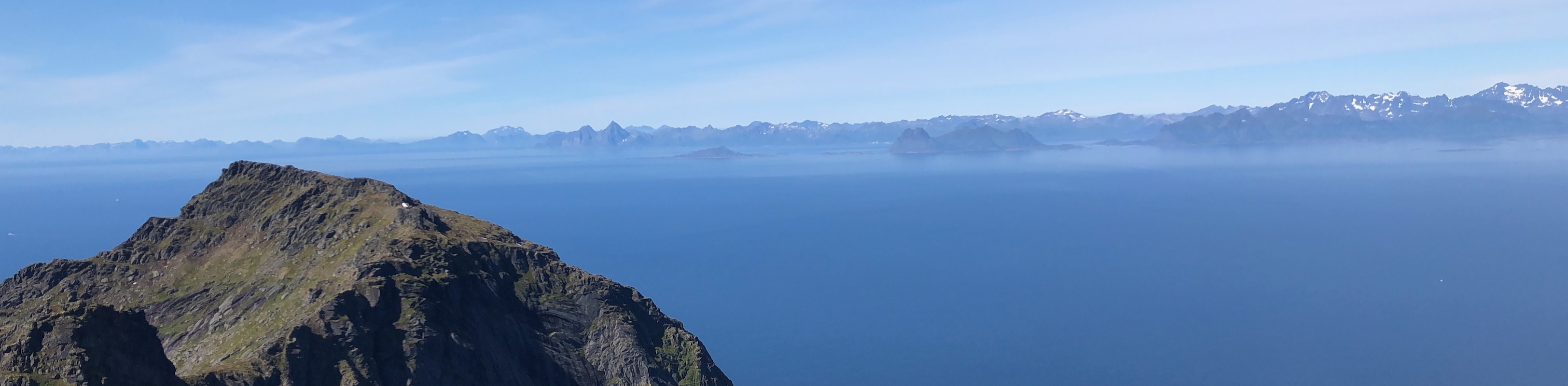
I started at 1030 and arrived on top
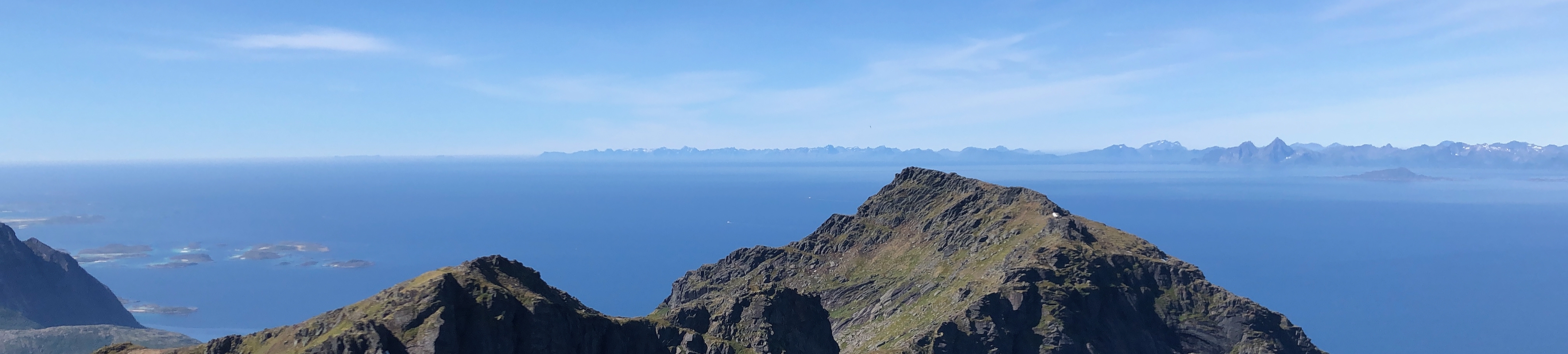
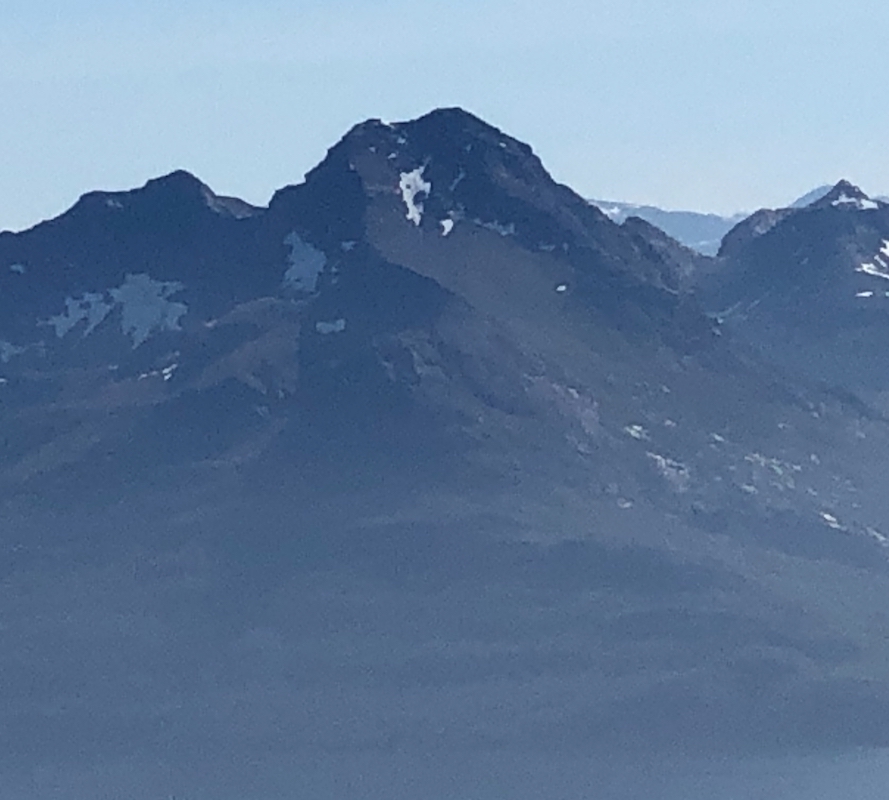
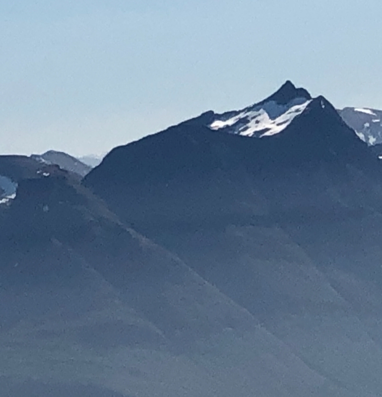
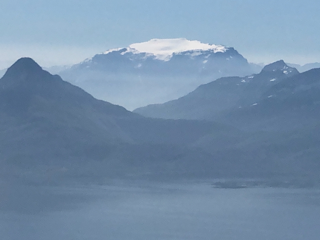
at 1210. Fantastic weather, and good views to Steigen as
well as the entire Lofoten.
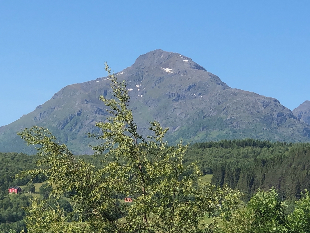
Nearby, the famous rock
called Hamarøyskaftet.
It looked small from this viewpoint, much better
when viewed from lower down.
I had a snack and some drink and
enjoyed the warm, sunny weather. Leaving at 1230, I descended back down to my car
in 1:15.
This was an easy day, tomorrow the plan is Store Forra back in Steigen.
