Location: North 59.69211 East 005.50594 (GPS at the summit)
Climbed February 27, 2015
Difficulty YDS class 1
Information:
How to get there:
Drive south on E-39 along the island Stord, then across a long suspension bridge
followed by a long sub-sea tunnel. Fairly immediately after you exit the tunnel,
turn right, cross under the Hwy. and drive north towards Valevåg.
Turn right in the first signed intersection and continue a bit more than a kilometer.
You should see the trailhead on your right in a gentle left curve that also is in a gentle
uphill. It is possible to park off the road just after this point on the left side (one may
turn around, then park.) This location is N59.69770, E005.48578, elevation about 50 meter.
Route description:
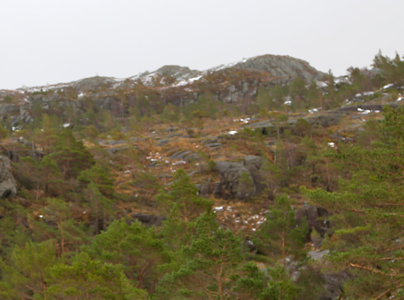
The trail zig-zags up a ridge, gaining elevation immediately. The trail is
well marked with red paint on trees and rocks. Up on the flat plateau, you will
get to a signed trailfork where you go right. Shortly after this, there is a second
fork where the route goes left. From here, just follow the well marked trail
to the summit. Comments:
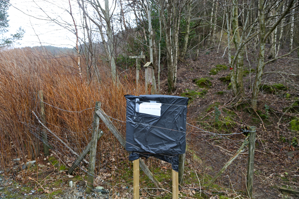
I left the car at 1115. The sign at the
trailhead said that the
route was closed due to a landslide.
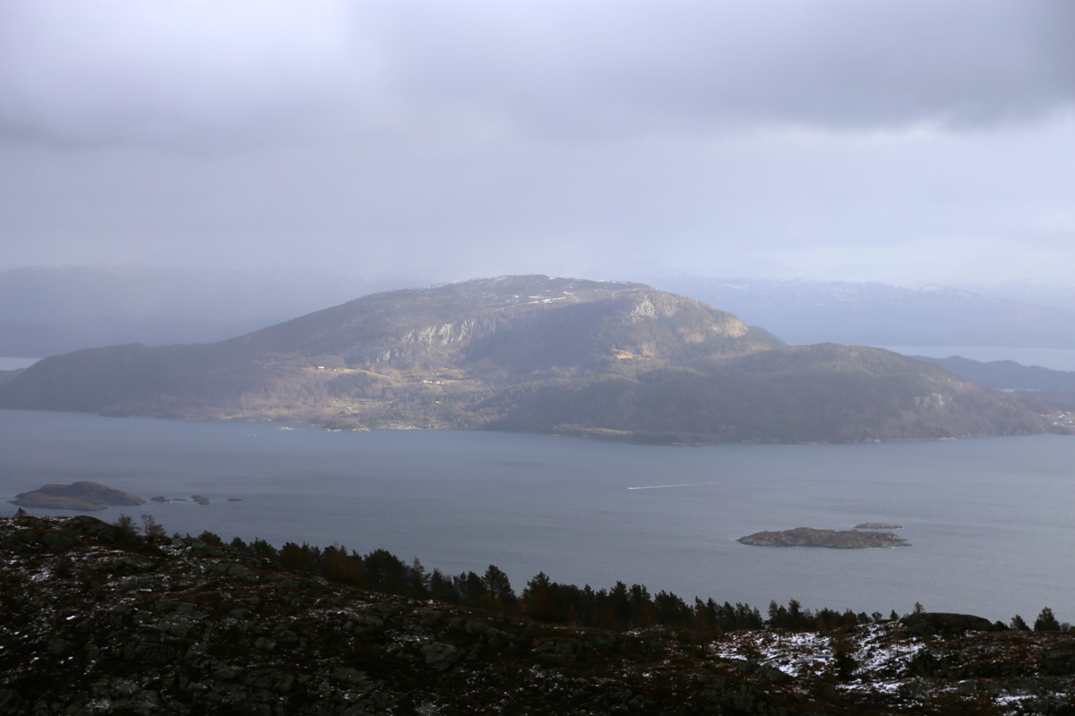
The conditions were quite fine, no
snow and good friction on the rocks.
I arrived at the summit at 1200.
After a few photos, I started back down at 1210. The descent took
30 minutes.