Location: North 60.39582, East 005.82260 (GPS at the summit)
Climbed October 23, 2016
Difficulty: YDS class 1
Information:
How to get there:
From Bergen, drive E-16 to Trengereid, then Hwy 7 to the traffic circle
just after a long tunnel near the Samanger fjord. Hwy. 48 forks right here,
continue on Hwy. 7 and measure from here. After 4.2 kilometer turn left onto a narrow
paved road. This road climbs to a small lake, turn left at kilometer 7.0. Continue
800 meter, keep right at a few minor forks. Park on the right hand side just before a small
downhill. This is the trailhead, location N60.40911, E005.81872, elevation about 310 meter.
Route:
The trail starts out going left at the base of the small ridge. This trail is
pretty easy to follow once you are on it. It climbs steeply to the main ridge
after the initial section along a few meadows. Next, it runs uphill and passes
near a tall mast, then along rock mixed with small meadows to finally gain the
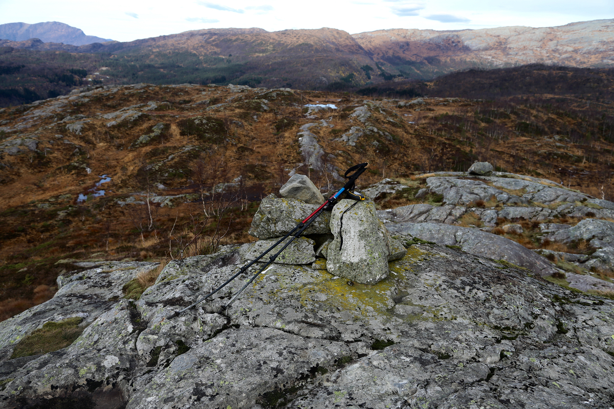
pretty distinct summit. There is a trail register just below the summit point.
Comments:
I started out at 1200 and arrived at
the summit at 1240. Leaving at 1250, I was
back down at 1325.
