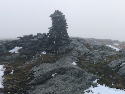
Location: North 60.82410, East 005.46521 (GPS on the summit)
Difficulty: YDS class 2
Climbed November 7, 2021.
Information:
How to get there:
Drive E-39 north from Bergen. Exit right just before the long Masfjordtunnel, this is near lake
Storevatnet, elevation 325 meter. Drive under the Hwy. and follow the road as it descends into
Haugsdal.
Fork left, crossing a narrow bridge near location N60.8507, E5.5135. Drive parallel with the
main river and locate parking for a single car on your left at location N60.832, E005.5237, elevation
near 50 meter.
Route description:
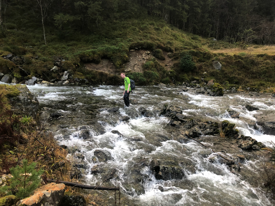
Continue on the road, pass the houses and cross the river Kvernhuselva. Normally,
this river is not to difficult to cross, however after heavy rain, it may run big
and one should cross it all the way
down stream near its end where it flows more
quietly. Possibly, one need to ford it since getting across with keeping feet
dry may be impossible.
Cross a second, (much) smaller creek, then head uphill and locate the old trail that
connects all the way up to lake Haugsdalsvatnet. This trail is marked by some minor
marks (from an axe) on the tree trunks. Not always easy to see. The trail becomes
somewhat more distinct as you gain elevation. In a few places there are steps built
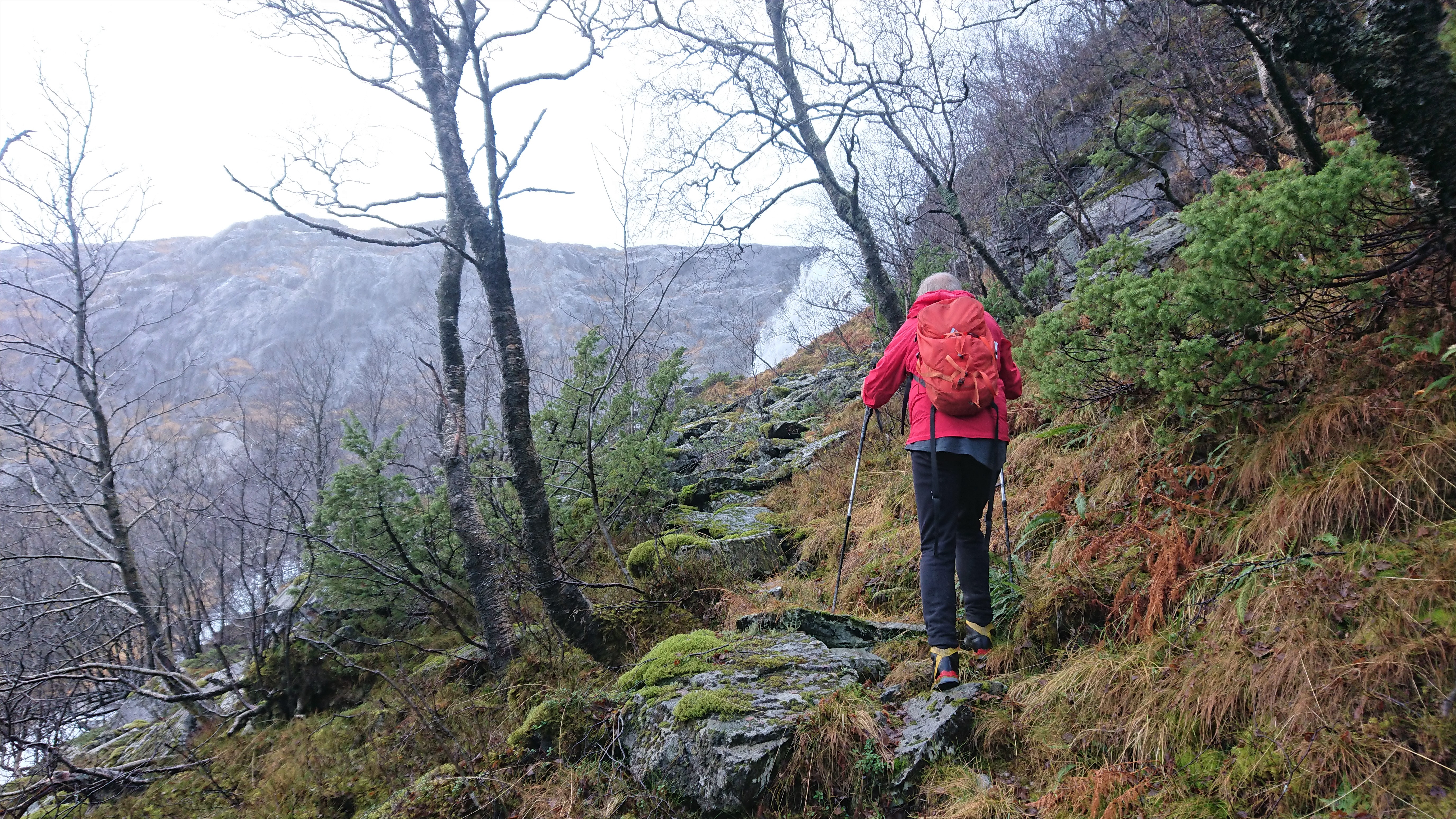
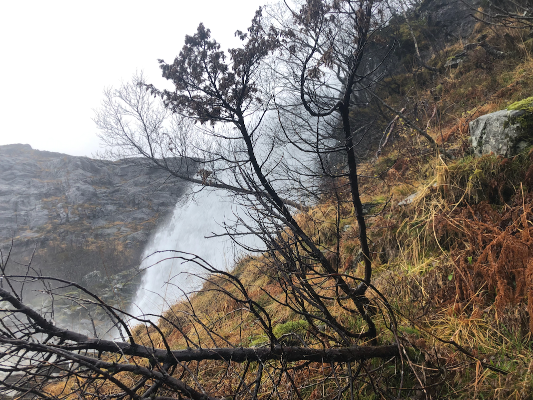
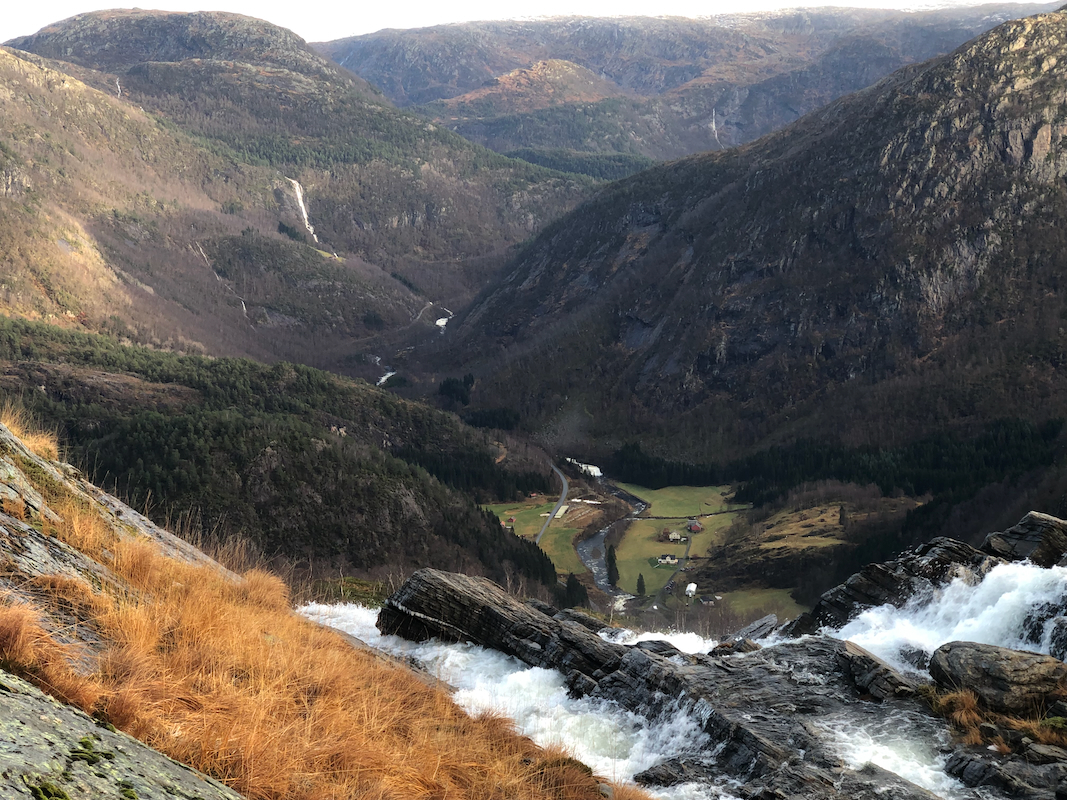
by rocks. Higher up, the trail heads directly towards the base of
the uppermost waterfall.
There is a short steepish section here. A rope as well
as a short metal ladder may be helpful.
What remains is a short hill where you ascend parallel to the river in order to
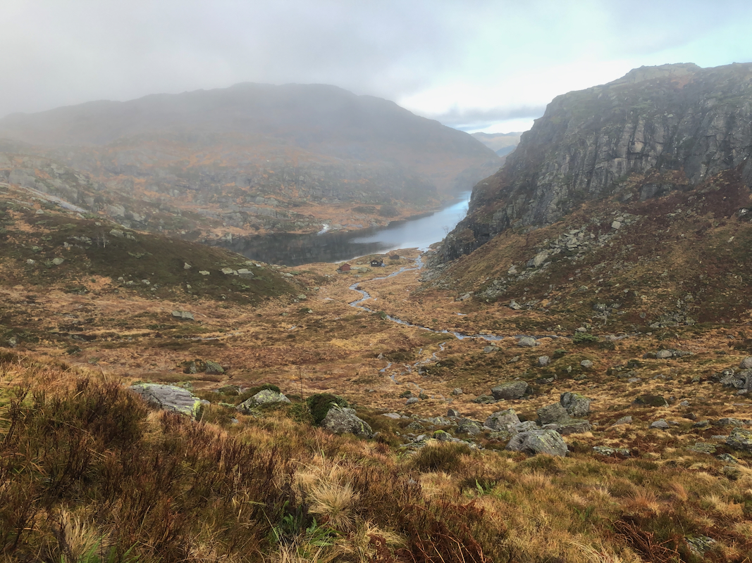
gain the outlet from lake Haugsdalsvatnet.
If the river is safe to cross above the waterfall and before you reach the lake, then
do so.
Next, hike south, and cross at the narrow passage west of the small lake east of
lake Haugsdalsvatnet. Ascend going right where the terrain permits easy passage, then
contour west and descend south of point 617m. Continue ascending (follow a ravine)
on the south side of the valley,
then turn north-west towards the summit as the
terrain permits.
Note:
Note that this mountain is easier to access from the west.
Comments:
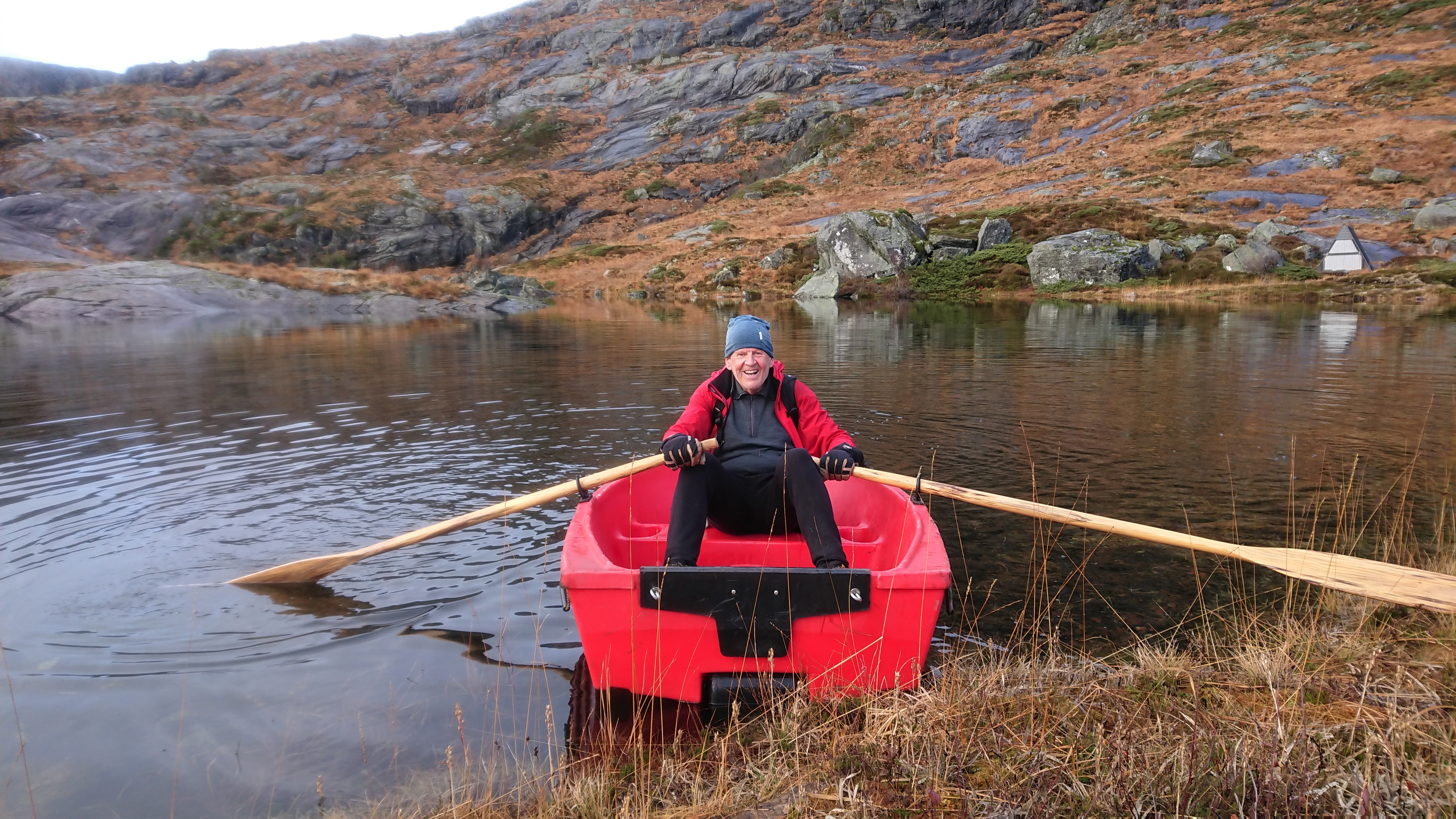
I did this hike with my friend Harald. We first ascended
Skarpefjellet. From there,
we hiked more or less in a direct line to the summit of Torhaugen.
The trip between the two summits took about 55 minutes.
Next, we returned to the river outlet
from Haugsdalsvatnet and descended
the same way (trail) that we had ascended earlier in the day.
The descent took 2:45.